
Beginner Off-Road Trails
Near Rainbow Park, Florida
Explore All Beginner Trails Near Rainbow Park, Florida
Beginner Off-Road Trails Near Rainbow Park, Florida
Discover the best beginner-friendly off-road trails near you. These easier, lower-rated trails are a great place to start — browse trail maps, check difficulty ratings, and find your next adventure.
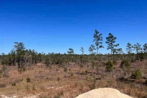
Goethe Circle
Goethe Circle is a beautiful ride through some open land combined with some heavily wooded areas. It is surrounded by some amazing views and many different types of wildlife. The terrain will vary from sand to mud. It is a nice drive for a variety of vehicles
Learn more about Goethe Circle
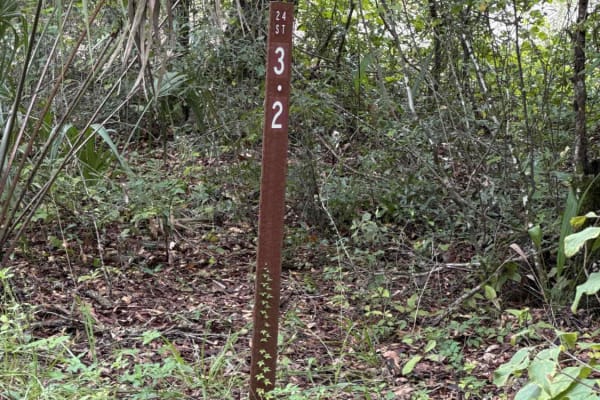
Ocklawaha Trail - ONF SE24ST
The Ocklawaha Trail, also known as Ocala National Forest Road SE24ST, connects SE 1st Road at the west end and Highway 314A at the east end in the southwest of the Ocala National Forest. The trail gives you access to some dirt roads that will take you to the Ocklawaha River. The road conditions are ...
Learn more about Ocklawaha Trail - ONF SE24ST
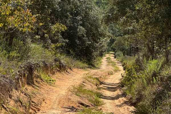
Trail 6 - Citrus WMA
Trail 6 takes you from East Haven Street at the east end to Trail 19 at the west end of the trail in the north part of the Citrus Wildlife Management Area. The road conditions are a mixture of packed sand, loose sand, and some deep holes that can turn into 2-foot deep mud holes after rainy days. The...
Learn more about Trail 6 - Citrus WMA
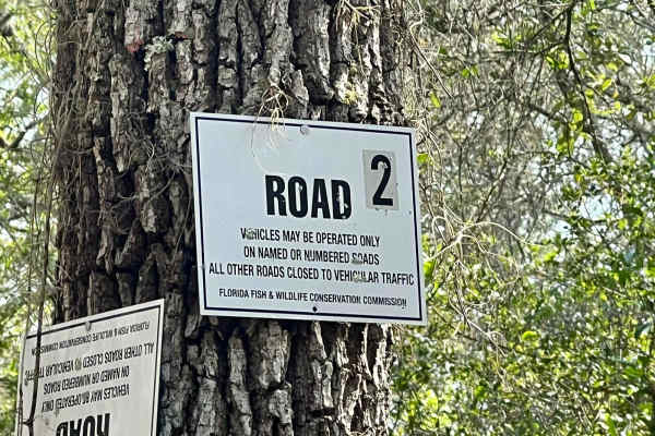
Citrus Wildlife Management | Trail 2
Trail 2 is a tight trail so be careful for pinstriping from tree limbs, and down trees after a storm. The terrain is mainly dirt and sand patches. This trail is not highly maintained due to it leading to closed trails. The phone signal on this trail was okay enough to send texts & make phone calls.
Learn more about Citrus Wildlife Management | Trail 2
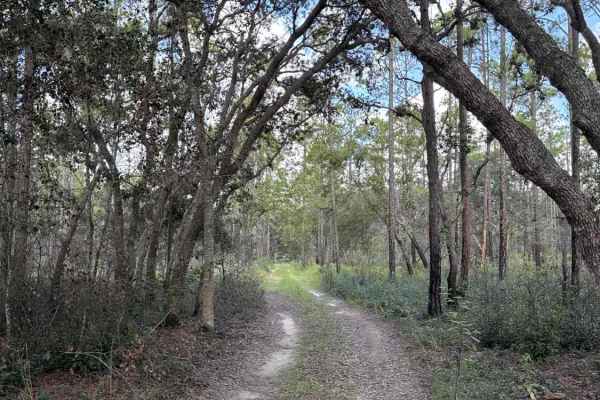
Trail 4 - Citrus WMA
Trail 4 takes you from Trail 11a at the east end to Trail 19 at the west end of the trail in the north part of the Citrus Wildlife Management Area. The road conditions are a mixture of packed sand, loose sand, and some deep holes that can turn into 2-foot deep mud holes after rainy days. The road is...
Learn more about Trail 4 - Citrus WMA
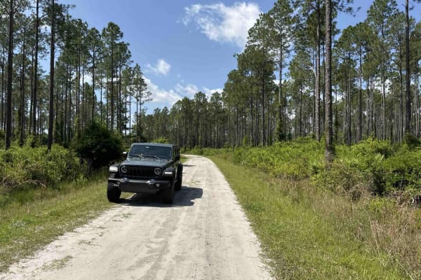
Lochloosa WMA South Trail
Lochloosa WMA South Trail connects CR-325 and the Burnt Island Trail. It allows you access to the Lochloosa Water Management Area with plenty of trails that are only accessible during hunting season. The Lochloosa WMA South Trail is open year-round. The road is mostly packed sand and wide enough for...
Learn more about Lochloosa WMA South Trail
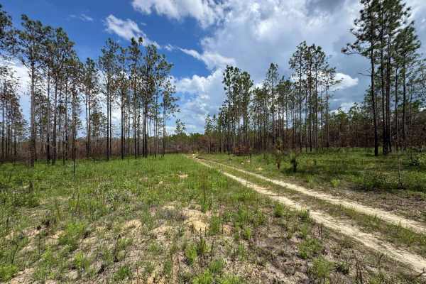
Trail 10A - Citrus WMA
Trail 10a takes you from Trail 9 at the east end to Trail 19 at the west end of the trail in the central part of the Citrus Wildlife Management Area. The road conditions are a mixture of packed sand, loose sand, and some deep holes that can turn into 2-foot deep mud holes after rainy days. The road ...
Learn more about Trail 10A - Citrus WMA
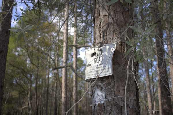
Citrus Wildlife Management | Trail 5
Trail 5 has a variety of trail riding fun. It has sugar sand as well as built-up walls and steep grades. There is a plethora of pine trees as well as winding oak trees. We saw quite a few Fox Squirrels on this trail and Turkeys as well, so wildlife is plentiful on this trail. This is an awesome trai...
Learn more about Citrus Wildlife Management | Trail 5
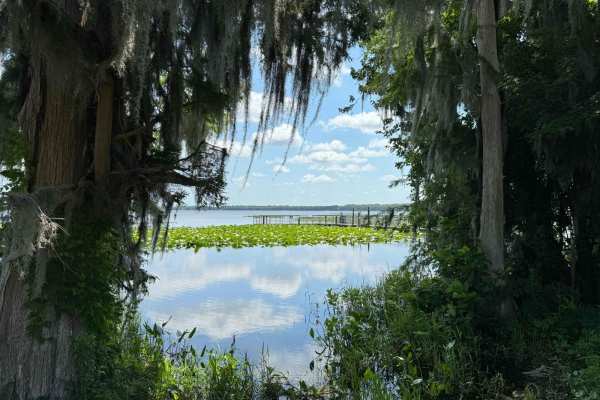
Burnt Island Trail
The Burnt Island Trail gives you access to the Lochloosa Water Management Area with plenty of trails that are only accessible during hunting season. The Burnt Island Trail, the Burnt Island Park, the fishing pier, and the boat ramp are open year-round. The road is mostly packed sand and wide enough ...
Learn more about Burnt Island Trail
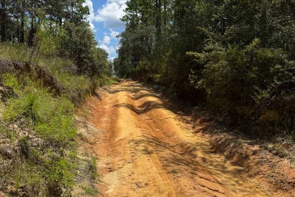
Trail 10 - Citrus WMA
Trail 10 takes you from Trail 9 at the east end to Trail 17 at the west end of the trail in the central part of the Citrus WMA. The road conditions are a mixture of packed sand, loose sand, and some deep holes that can turn into 2-foot deep mud holes after rainy days. The road is not always wide eno...
Learn more about Trail 10 - Citrus WMA
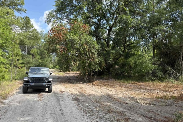
Jeep Trail - Grove Park South WMA
The Jeep Trail is part of the Grove Park Water Management Area. This trail is only accessible during hunting season or with a recreation permit that's available over the phone. The road conditions are a mixture of packed sand, loose sand, and some deep holes that can turn into 2-foot-deep mud holes ...
Learn more about Jeep Trail - Grove Park South WMA
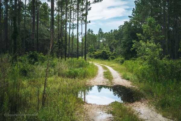
Lochloosa Wildlife Conservation Area Trail
Lochloosa Wildlife Conservation Area Trail is a 4 mile trail through the Northwest portion of Lochloosa Wildlife Conservation Area. The trail is predominantly made of packed sand with a few small sections of loose sand. There are numerous water crossings that have water in them all the time with run...
Learn more about Lochloosa Wildlife Conservation Area Trail
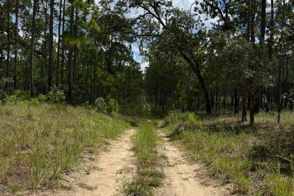
Trail 12 - Citrus WMA
Trail 12 takes you from County Road 581 at the east end to Trail 15 at the west end of the trail in the central part of the Citrus Wildlife Management Area. The road conditions are a mixture of packed sand, loose sand, and some deep holes that can turn into 2-foot deep mud holes after rainy days. Th...
Learn more about Trail 12 - Citrus WMA
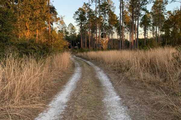
Lochloosa WCA North
This route is an easier alternative to the main Lochloosa WCA Trail. Note that this trail is only accessible to street-legal licensed vehicles. This trail is mainly hard-packed gravel with some sections of sand, but no deep sand. There is one shallow water crossing in this route that is under 6 inch...
Learn more about Lochloosa WCA North
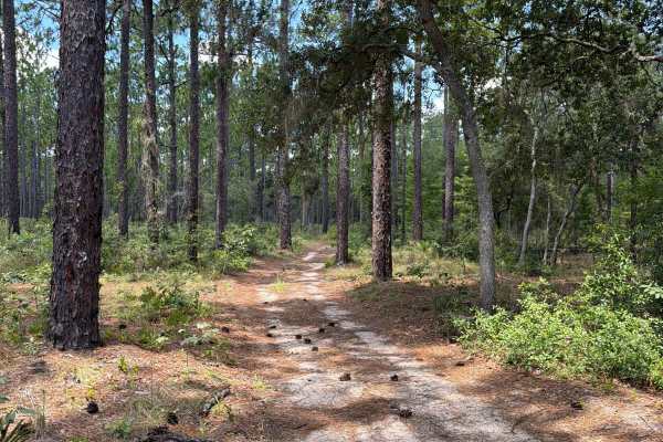
FS 137AV-5.0A
Ocala National Forest Road 137AV-5.0A connects Tomahawk Loop at the north end and Shoesale Lake Loop at the south end in the southwest of the Ocala National Forest. The trail gives you access to a few dirt roads in the area. The road conditions are a mixture of packed and loose sand, with some deep ...
Learn more about FS 137AV-5.0A
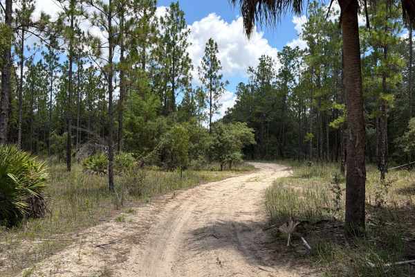
FS 47ST-0.7
Ocala National Forest Road 47ST-0.7 connects Ocklawaha Trail at the north end and FS 137AV-5.0A at the south end in the southwest of the Ocala National Forest. The trail gives you access to a few dirt roads in the area. The road conditions are a mixture of packed and loose sand, with some deep holes...
Learn more about FS 47ST-0.7
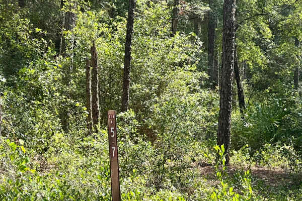
Ocala National Forest | Trail 314A-5.7
This trail consists of mud and dirt and is very wet during raining season. You can expect thick brush that can cause pinstriping so be careful, but also includes patches of pine forest. The cell phone service is okay enough to send messages & make phone calls in an emergency with Verizon.
Learn more about Ocala National Forest | Trail 314A-5.7
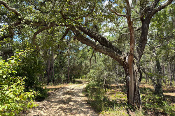
Shoesale Lake Loop
Shoesale Lake Loop takes you around Shoesale Lake in the southwest of the Ocala National Forest. The trail gives you access to Shoesale Lake, Round Lake, a few ponds, and a few dirt roads in the area. The road conditions are a mixture of packed and loose sand, with some deep holes that can fill with...
Learn more about Shoesale Lake Loop
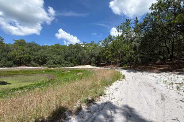
Two Pond Loop
Two Pond Loop is a short, fun loop trail around two fishing ponds in the southwest of the Ocala National Forest. The road conditions are a mixture of packed and loose sand, with some deep holes that can fill with 2-foot-deep mud after rainy days. The road is not always wide enough for two vehicles t...
Learn more about Two Pond Loop
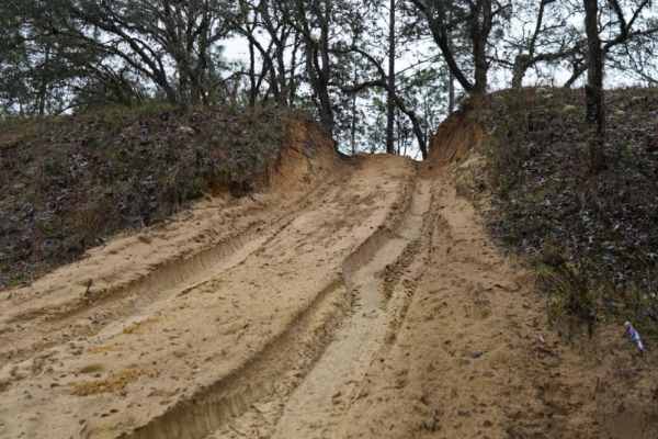
Trail 14 East
Trail 14 East is an engaging 1.9-mile off-road route through the Citrus Wildlife Management Area, offering a mix of soft sand play areas and light technical challenges perfect for stock four-wheel-drive vehicles and SxSs. Running straight west to east, this trail provides an enjoyable trek with mini...
Learn more about Trail 14 East
Beginner ATV trails near Rainbow Park, Florida
Explore ATV-friendly trails near you. These trails are accessible for vehicles up to 50 inches wide, perfect for ATVs and smaller off-road machines.
Ocklawaha Trail - ONF SE24ST
The Ocklawaha Trail, also known as Ocala National Forest Road SE24ST, connects SE 1st Road at the west end and Highway 314A at the east end in the southwest of the Ocala National Forest. The trail gives you access to some dirt roads that will take you to the Ocklawaha River. The road conditions are ...
Learn more about Ocklawaha Trail - ONF SE24ST
Trail 6 - Citrus WMA
Trail 6 takes you from East Haven Street at the east end to Trail 19 at the west end of the trail in the north part of the Citrus Wildlife Management Area. The road conditions are a mixture of packed sand, loose sand, and some deep holes that can turn into 2-foot deep mud holes after rainy days. The...
Learn more about Trail 6 - Citrus WMA
Two Pond Loop
Two Pond Loop is a short, fun loop trail around two fishing ponds in the southwest of the Ocala National Forest. The road conditions are a mixture of packed and loose sand, with some deep holes that can fill with 2-foot-deep mud after rainy days. The road is not always wide enough for two vehicles t...
Learn more about Two Pond Loop
Trail 14 East
Trail 14 East is an engaging 1.9-mile off-road route through the Citrus Wildlife Management Area, offering a mix of soft sand play areas and light technical challenges perfect for stock four-wheel-drive vehicles and SxSs. Running straight west to east, this trail provides an enjoyable trek with mini...
Learn more about Trail 14 East
Beginner UTV/side-by-side trails near Rainbow Park, Florida
Find UTV and side-by-side trails near you. These trails accommodate vehicles up to 60 inches wide, ideal for UTVs, side-by-sides, and wider off-road rigs.
Ocklawaha Trail - ONF SE24ST
The Ocklawaha Trail, also known as Ocala National Forest Road SE24ST, connects SE 1st Road at the west end and Highway 314A at the east end in the southwest of the Ocala National Forest. The trail gives you access to some dirt roads that will take you to the Ocklawaha River. The road conditions are ...
Learn more about Ocklawaha Trail - ONF SE24ST
Trail 4 - Citrus WMA
Trail 4 takes you from Trail 11a at the east end to Trail 19 at the west end of the trail in the north part of the Citrus Wildlife Management Area. The road conditions are a mixture of packed sand, loose sand, and some deep holes that can turn into 2-foot deep mud holes after rainy days. The road is...
Learn more about Trail 4 - Citrus WMA
Trail 10A - Citrus WMA
Trail 10a takes you from Trail 9 at the east end to Trail 19 at the west end of the trail in the central part of the Citrus Wildlife Management Area. The road conditions are a mixture of packed sand, loose sand, and some deep holes that can turn into 2-foot deep mud holes after rainy days. The road ...
Learn more about Trail 10A - Citrus WMA
Trail 10 - Citrus WMA
Trail 10 takes you from Trail 9 at the east end to Trail 17 at the west end of the trail in the central part of the Citrus WMA. The road conditions are a mixture of packed sand, loose sand, and some deep holes that can turn into 2-foot deep mud holes after rainy days. The road is not always wide eno...
Learn more about Trail 10 - Citrus WMA
The onX Offroad Difference
onX Offroad combines trail photos, descriptions, difficulty ratings, width restrictions, seasonality, and more in a user-friendly interface. Available on all devices, with offline access and full compatibility with CarPlay and Android Auto. Discover what you're missing today!
Open Trail Map