Trail Overview
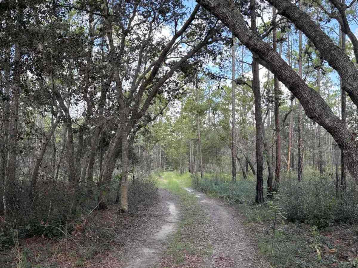
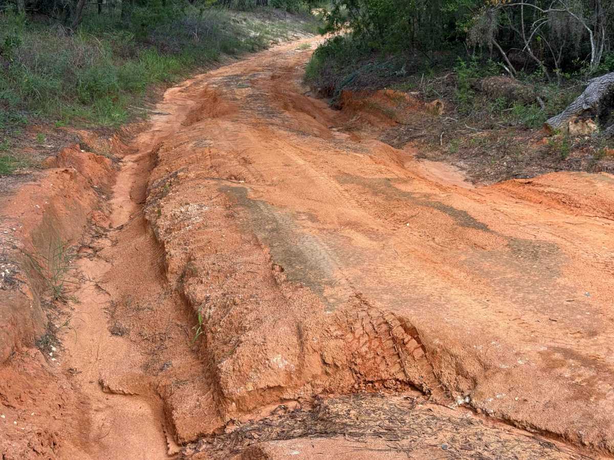
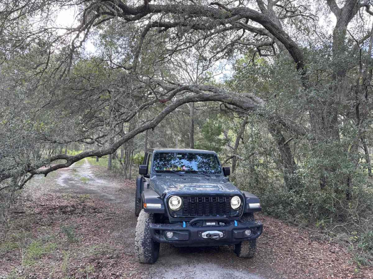
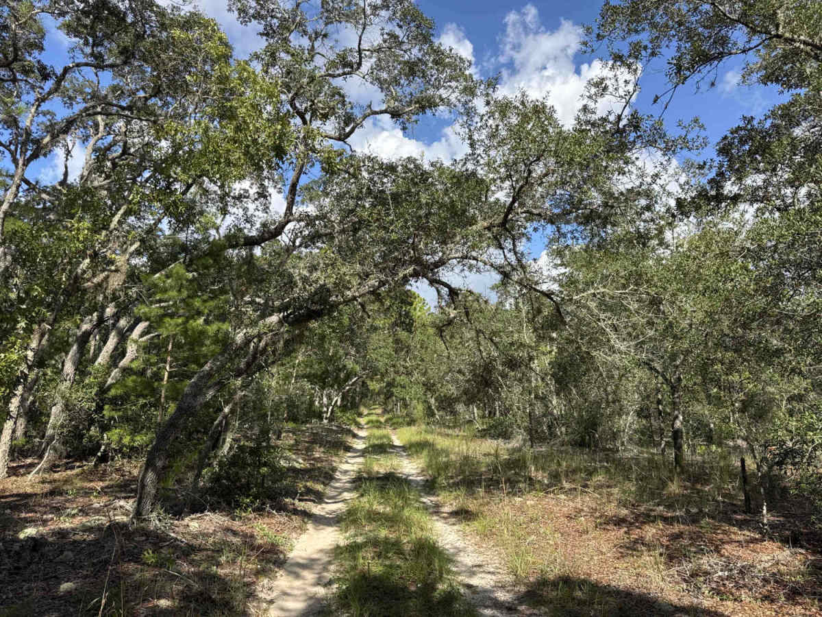
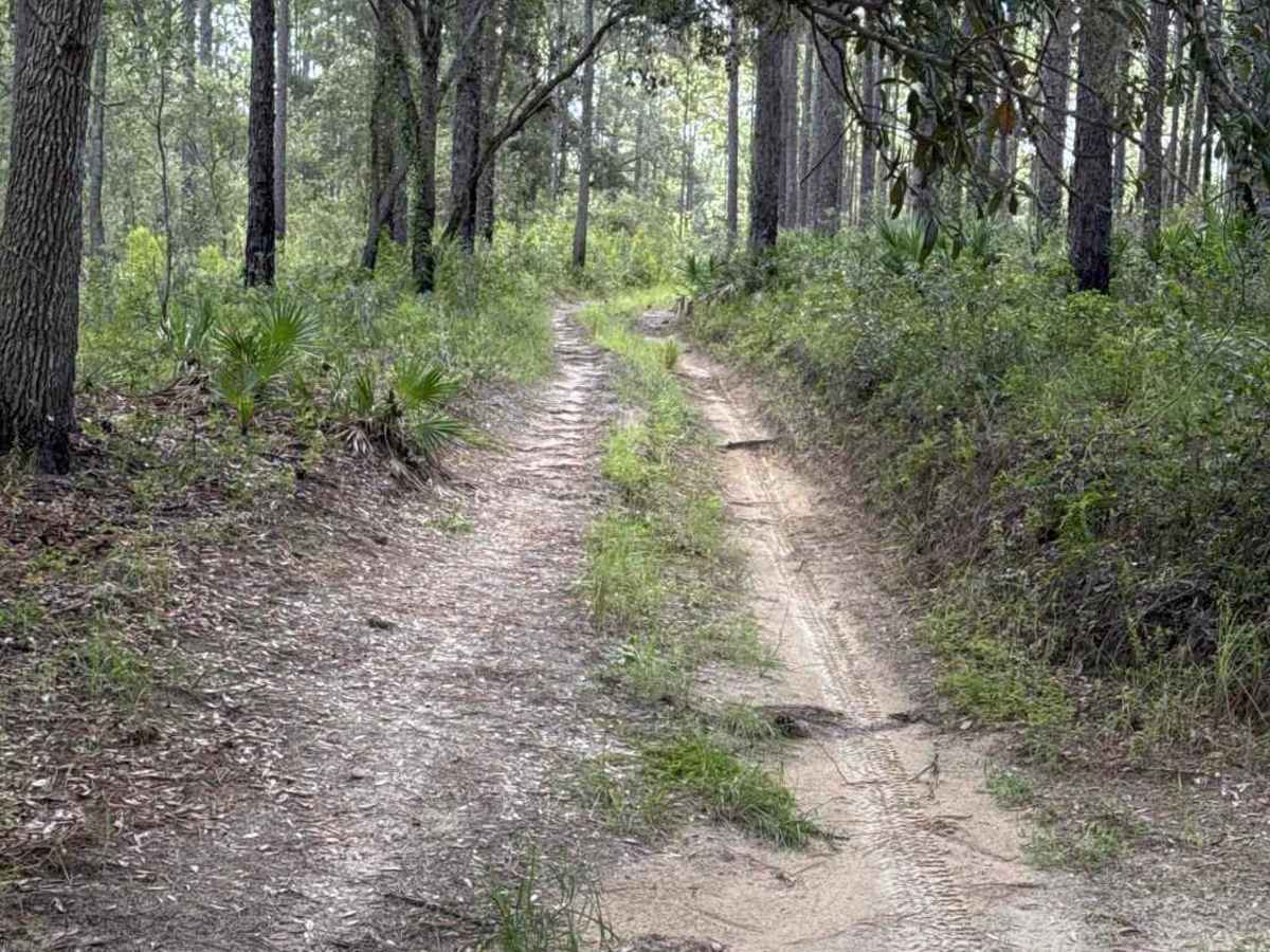
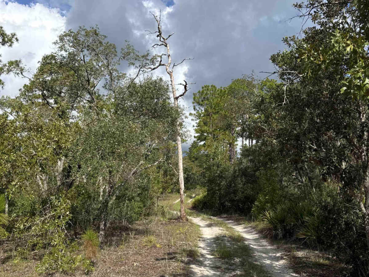
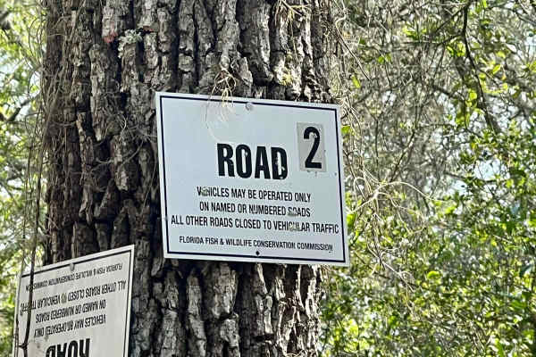
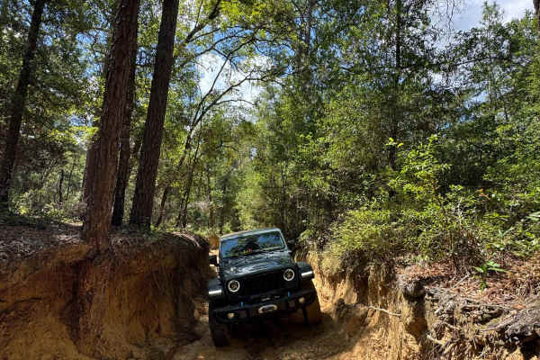
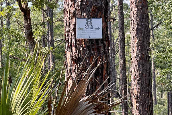
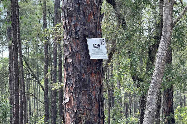
Trail 4 takes you from Trail 11a at the east end to Trail 19 at the west end of the trail in the north part of the Citrus Wildlife Management Area. The road conditions are a mixture of packed sand, loose sand, and some deep holes that can turn into 2-foot deep mud holes after rainy days. The road is not always wide enough for two vehicles to pass. 4WD and high clearance are recommended. All vehicles must be street legal. ATVs are prohibited. Citrus Wildlife Management Area includes nearly 50,000 acres in Citrus and Hernando counties, just west of Inverness. This natural area is one of seven large tracts that make up the Withlacoochee State Forest. A daily-use or recreational permit is required to enter the State Forest.
Difficulty
This trail is primarily one vehicle wide with some minor rutting and vegetation encroachment, but is an otherwise easy, non-technical trail unless after heavy rain.
History
Withlacoochee State Forest was acquired by the federal government from private landowners between 1936 and 1939 under the provisions of the U.S. Land Resettlement Administration. The U.S. Forest Service managed the property until a lease-purchase agreement transferred the property to the Florida Board of Forestry in 1958. It is currently the third-largest State Forest in Florida and is divided into several distinct tracts of land.