
Beginner Off-Road Trails
Near Radersburg, Montana
Explore All Beginner Trails Near Radersburg, Montana
Beginner Off-Road Trails Near Radersburg, Montana
Discover the best beginner-friendly off-road trails near you. These easier, lower-rated trails are a great place to start — browse trail maps, check difficulty ratings, and find your next adventure.
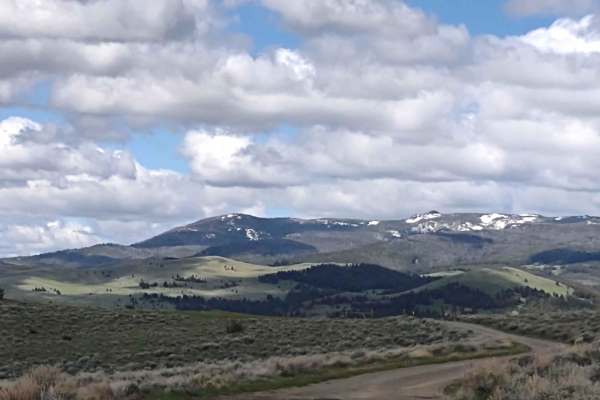
Indian Creek Road Spur 1
This 8-mile RT trail explores the Helena National Forest north of Indian Creek Road. The views of Canyon Ferry Lake and the valley are breathtaking. The forest is healthy and well-maintained. The elevation along this trail is about 5600 feet. The wildlife in this area includes elk, deer, and bears. ...
Learn more about Indian Creek Road Spur 1
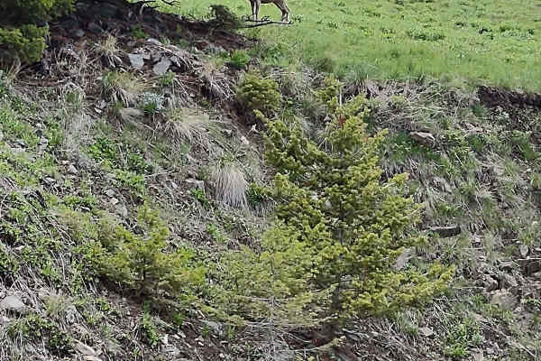
Weston Creek Lower Portion
The Weston Creek Lower Portion Trail connects Indian Creek Road Trail to the Weston Creek Upper Portion Trail, the Weston Creek Spur #1, the Merrel Springs Trail, and the Cold Springs Road Trail. It's two miles, going a bit higher into the Helena National Forest. You drive along the West Fork of In...
Learn more about Weston Creek Lower Portion
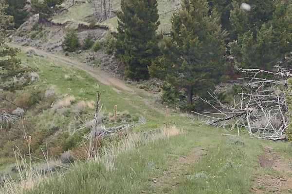
Cold Springs Road
This trail connects Weston Creek Lower Portion with Weston Creek Upper Portion by going south around Giant Hill. It's just over 4 miles one way and runs between 5300and 6200 feet in the Helena National Forest. The scenery is spectacular, the forest is healthy and well-maintained, and the wildlife in...
Learn more about Cold Springs Road
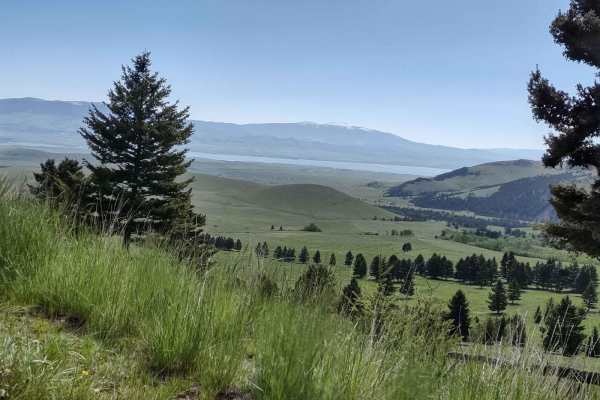
Crow Creek
This 7-mile one-way trail cuts across the Helena National Forest by Glendale Butte and Big Mountain. It connects to Norris Gulch on the south end and Weasel Creek on the north end. You drive along Crow Creek near the Mission Lookout Picnic Area and several camping areas. The scenery is spectacular, ...
Learn more about Crow Creek
Weston Creek Upper Portion
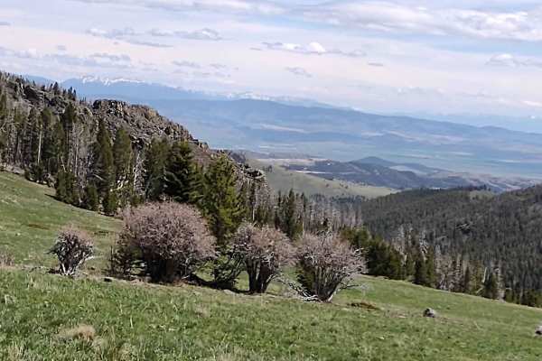
Weston Creek Trail connects Indian Creek Road Trail to the Canyon Ferry to Winston via Helena National Forest Trail at the Eagle Guard Cabin. It's two miles, climbing up to 6200 feet in the National Forest. The scenery is spectacular, the forest is healthy and well-maintained, and the wildlife inclu...
Learn more about Weston Creek Upper Portion
Merrel Springs
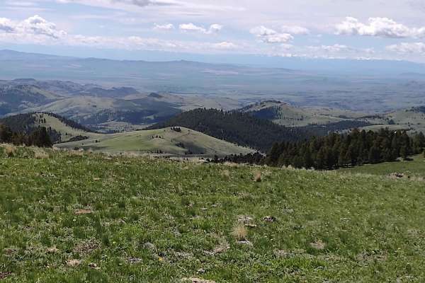
Merrel Springs is a 0.8-mile dirt trail through the Helena National Forest, following the West Fork of Indian Creek. This short connector route descends from 6,373 feet to 5,948 feet through healthy forest terrain, offering opportunities to spot wildlife such as deer, elk, moose, and black bears.
...
Learn more about Merrel Springs
Townsend To Winston
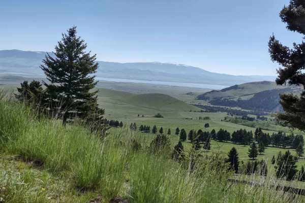
This 68-mile trail takes you from Old Woman's Grave Road just outside of Townsend, on a winding, twisting path through the National Forest, to Winston. You will travel across the National Guard Training grounds, up through Norris Gulch, and then use these Forest Service trails: the Ahlman trail, Hog...
Learn more about Townsend To Winston
Indian Creek Road
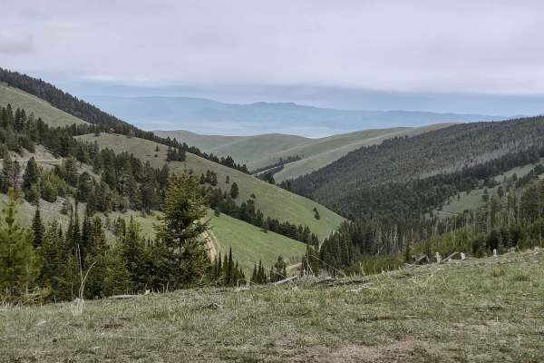
This 10-mile trail takes you from Highway 287 near Townsend into the Helena National Forest. You go through a beautiful canyon, gain 3500 feet in elevation, and experience the majesty of Montana. The scenery is spectacular, the forest is healthy and well-maintained, and the wildlife includes deer, e...
Learn more about Indian Creek Road
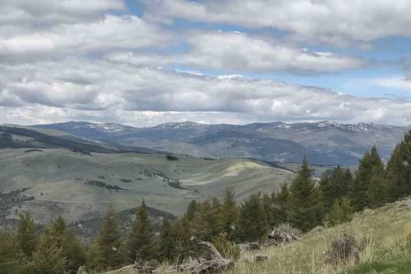
Badger Creek
Badger Creek is an easy, scenic point-to-point trail in the Elkhorn Mountains of the Helena National Forest, perfect for beginners and those seeking stunning mountain vistas, historical remnants, and abundant wildlife. Extending just under 3 miles, this route connects Indian Creek Road Trail on its ...
Learn more about Badger Creek
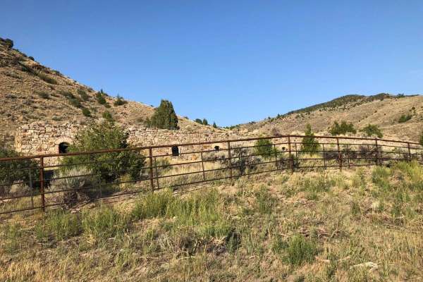
Lombard Coke Ovens
Traveling this rough clay-based gravel road between Toston and Lombard, you can expect to see range cattle, prickly pear cacti, plenty of sagebrush, and rattlesnakes. Use extreme caution on this road in the rain. Numerous washouts could make it dangerous. As you gain more than 1,300 feet in elevatio...
Learn more about Lombard Coke Ovens
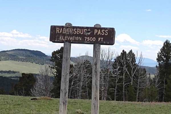
Radersburg Pass Loop
The Radersburg Pass Loop is an approachable 7.7-mile scenic route through the Beaverhead-Deerlodge National Forest, ideal for stock four-wheel-drive vehicles, SxSs, and dirt bikes seeking high-elevation mountain views. Branching off the Skyline Mine Trail along Radersburg Pass Road, this loop climbs...
Learn more about Radersburg Pass Loop
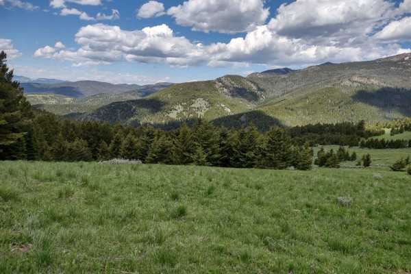
Skyline Mine Spur
Skyline Mine Spur is an ideal scenic connector for high-clearance four-wheel-drive vehicles and SxSs looking to explore the rugged heart of the Deerlodge National Forest. Spanning approximately 3.7 miles, this trail connects Elkhorn Road near Tacoma Gulch to the Skyline Mine Trail, climbing through ...
Learn more about Skyline Mine Spur
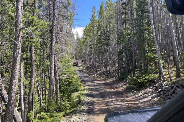
Skyline Mine Trail
An easy trail with gorgeous views and an old mine to explore at the top. This trail gets very narrow, with potential for pinstriping on vehicles that pass through, but the gorgeous views at the top and the mine are worth it. There are a handful of very easy water crossings that are hardly a foot dee...
Learn more about Skyline Mine Trail
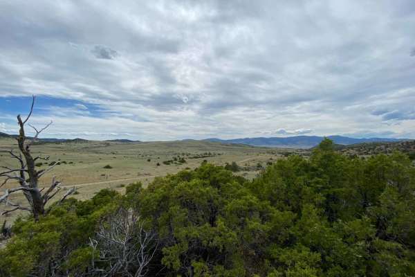
Boulder to Toston via Black Sage Pass
For those who like to take the road less traveled, this back road trek will take you between the small Montana towns of Boulder and Toston. Traversing Jefferson and Broadwater counties this route takes about 2-3 times as long as taking the highways north to Helena or south to Cardwell. In between yo...
Learn more about Boulder to Toston via Black Sage Pass
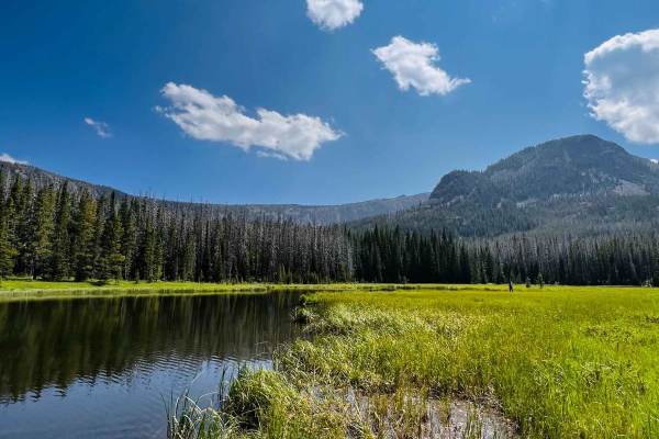
Prickly Pear to Tizer Lakes
Starting from Montana Highway 282, you will take the bend onto Tizer Lake Road, which leads to Prickly Pear Road. Prickly Pear Road goes through private land, but there is a designated route to access Tizer Lake. A compressor or other method to air tires up or down is recommended since the majority ...
Learn more about Prickly Pear to Tizer Lakes

South Beaver
South Beaver is an approachable 1.4-mile dirt loop near North Whitetail Road that is ideal for beginners and casual offroaders looking for a quick, scenic drive with a touch of excitement. Navigating through a pine-forested valley, the route climbs from 5,295 feet to a maximum elevation of 5,532 fee...
Learn more about South Beaver
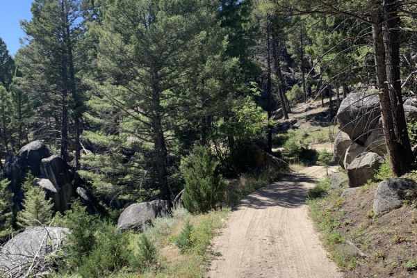
Bigfoot Creek to Hay Creek
Bigfoot Creek to Hay Creek is an 18.6-mile point-to-point trail through the eastern slopes of Deer Lodge National Forest that offers scenic mountain views and a mild technical challenge for four-wheel-drive vehicles and SxSs. Running just east of Whitetail Road (State Route 399) near Boulder, Montan...
Learn more about Bigfoot Creek to Hay Creek
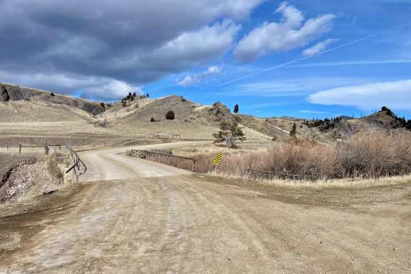
Sixteen Mile Creek Road
The track begins from the town of Maudlow from the south. From the north, it can be accessed from Meadow Creek Road via the town of Ringling. The track begins when you cross from Meagher County to Gallatin County. This is a point-to-point, one-lane dirt and gravel road with room to pass in plenty of...
Learn more about Sixteen Mile Creek Road
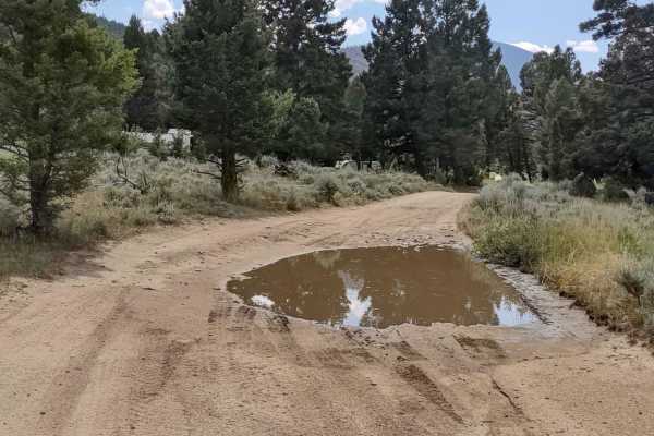
Puddle Splasher
This 2.4-mile trail takes only 15-20 minutes to complete. In late July there were multiple puddles to cross, so there is probably water in this area routinely. It's an excellent route to work your way south towards Whitehall without having to go down the dirt road (399). From Boulder, MT, go sout...
Learn more about Puddle Splasher
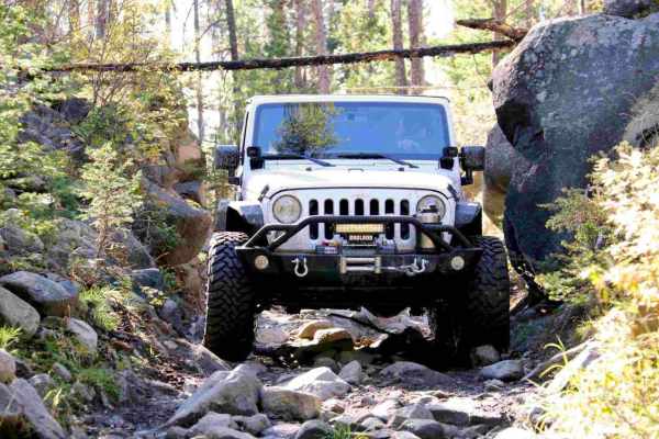
Little Boulder River Rd
This is a great little out-and-back trail that starts out fairly easy with some loose rocks and tight pinches. It gets harder half way through, when the trail gets steeper up a very loose and tight section. Body damage possible for wide vehicles. This trail travels through some dense forest with sev...
Learn more about Little Boulder River Rd
Beginner ATV trails near Radersburg, Montana
Explore ATV-friendly trails near you. These trails are accessible for vehicles up to 50 inches wide, perfect for ATVs and smaller off-road machines.
Indian Creek Road Spur 1
This 8-mile RT trail explores the Helena National Forest north of Indian Creek Road. The views of Canyon Ferry Lake and the valley are breathtaking. The forest is healthy and well-maintained. The elevation along this trail is about 5600 feet. The wildlife in this area includes elk, deer, and bears. ...
Learn more about Indian Creek Road Spur 1
Weston Creek Lower Portion
The Weston Creek Lower Portion Trail connects Indian Creek Road Trail to the Weston Creek Upper Portion Trail, the Weston Creek Spur #1, the Merrel Springs Trail, and the Cold Springs Road Trail. It's two miles, going a bit higher into the Helena National Forest. You drive along the West Fork of In...
Learn more about Weston Creek Lower Portion
Cold Springs Road
This trail connects Weston Creek Lower Portion with Weston Creek Upper Portion by going south around Giant Hill. It's just over 4 miles one way and runs between 5300and 6200 feet in the Helena National Forest. The scenery is spectacular, the forest is healthy and well-maintained, and the wildlife in...
Learn more about Cold Springs Road
Crow Creek
This 7-mile one-way trail cuts across the Helena National Forest by Glendale Butte and Big Mountain. It connects to Norris Gulch on the south end and Weasel Creek on the north end. You drive along Crow Creek near the Mission Lookout Picnic Area and several camping areas. The scenery is spectacular, ...
Learn more about Crow Creek
Beginner UTV/side-by-side trails near Radersburg, Montana
Find UTV and side-by-side trails near you. These trails accommodate vehicles up to 60 inches wide, ideal for UTVs, side-by-sides, and wider off-road rigs.
Indian Creek Road Spur 1
This 8-mile RT trail explores the Helena National Forest north of Indian Creek Road. The views of Canyon Ferry Lake and the valley are breathtaking. The forest is healthy and well-maintained. The elevation along this trail is about 5600 feet. The wildlife in this area includes elk, deer, and bears. ...
Learn more about Indian Creek Road Spur 1
Weston Creek Lower Portion
The Weston Creek Lower Portion Trail connects Indian Creek Road Trail to the Weston Creek Upper Portion Trail, the Weston Creek Spur #1, the Merrel Springs Trail, and the Cold Springs Road Trail. It's two miles, going a bit higher into the Helena National Forest. You drive along the West Fork of In...
Learn more about Weston Creek Lower Portion
Cold Springs Road
This trail connects Weston Creek Lower Portion with Weston Creek Upper Portion by going south around Giant Hill. It's just over 4 miles one way and runs between 5300and 6200 feet in the Helena National Forest. The scenery is spectacular, the forest is healthy and well-maintained, and the wildlife in...
Learn more about Cold Springs Road
Crow Creek
This 7-mile one-way trail cuts across the Helena National Forest by Glendale Butte and Big Mountain. It connects to Norris Gulch on the south end and Weasel Creek on the north end. You drive along Crow Creek near the Mission Lookout Picnic Area and several camping areas. The scenery is spectacular, ...
Learn more about Crow Creek
The onX Offroad Difference
onX Offroad combines trail photos, descriptions, difficulty ratings, width restrictions, seasonality, and more in a user-friendly interface. Available on all devices, with offline access and full compatibility with CarPlay and Android Auto. Discover what you're missing today!
Open Trail Map