Trail Overview
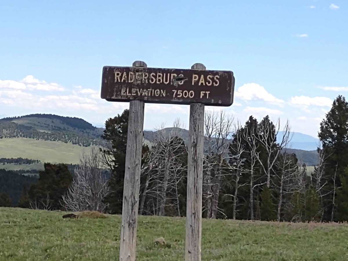
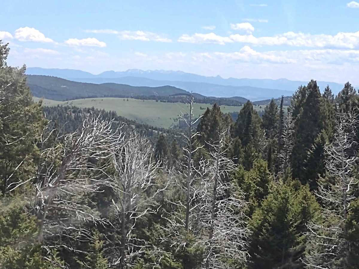
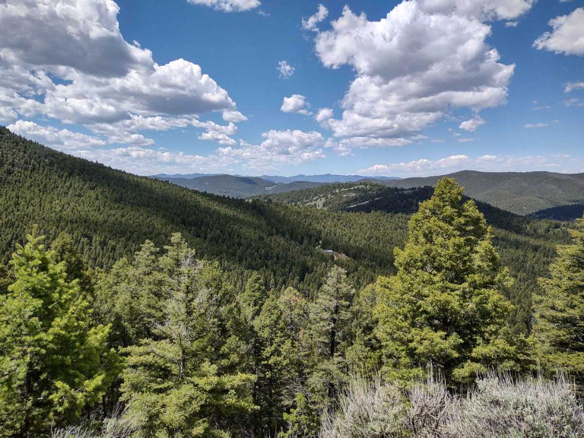
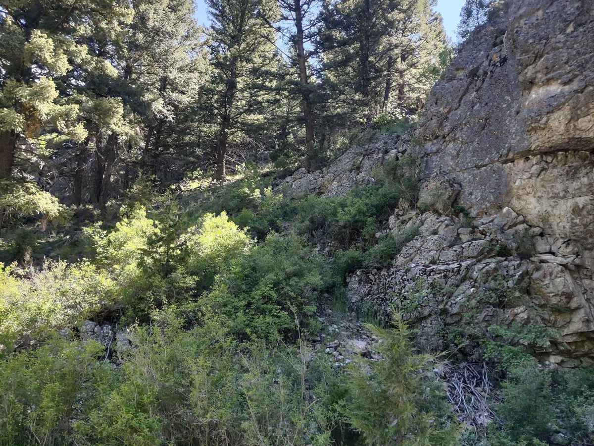
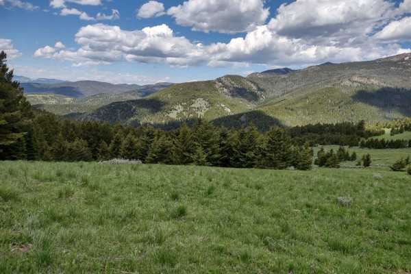
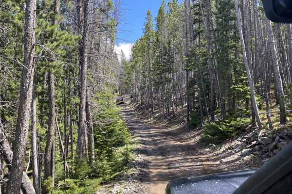
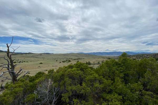
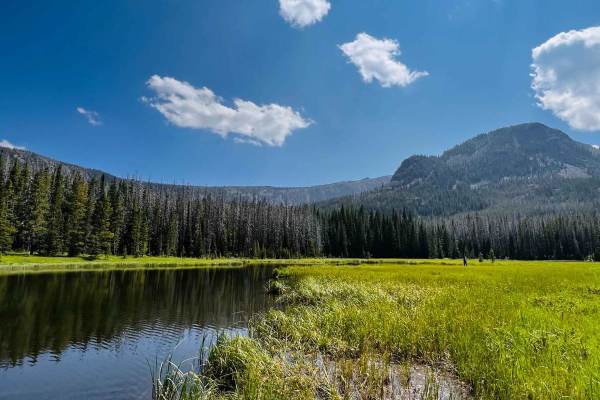
The Radersburg Pass Loop is an approachable 7.7-mile scenic route through the Beaverhead-Deerlodge National Forest, ideal for stock four-wheel-drive vehicles, SxSs, and dirt bikes seeking high-elevation mountain views. Branching off the Skyline Mine Trail along Radersburg Pass Road, this loop climbs to over 7,600 feet and circles back via Tramway Road. The trail winds through dense pine forests and open ridges, offering spectacular sweeping views of the surrounding Montana mountain ranges. With a mild technical rating of 2, the trail is generally straightforward but requires drivers to stay alert for seasonal hazards.
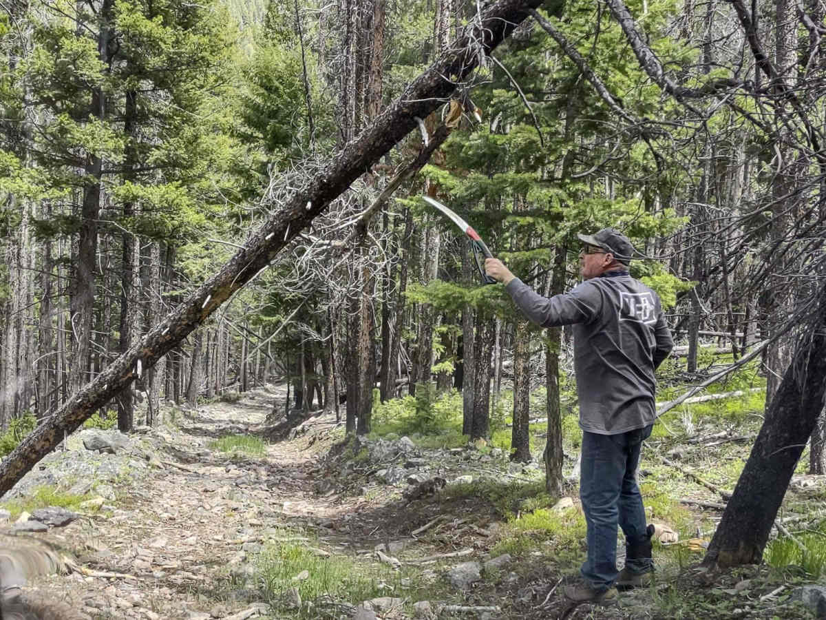
Because of the high elevation, spring travelers will likely encounter deep mud and lingering snowpack, while heavy rain at any time of year can quickly turn the dirt track slick. Downed timber is common in this forest, so carrying recovery gear such as a chainsaw, tow strap, and snatch block is highly recommended to clear the path. Elevation ranges from 6,429 feet to 7,621 feet with a cumulative climb of 1,424 feet, requiring proper vehicle preparation, including extra fuel and plenty of supplies. The forest is active with local wildlife, including deer, elk, and bears, making it a spectacular yet remote destination that demands self-sufficiency.