Trail Overview
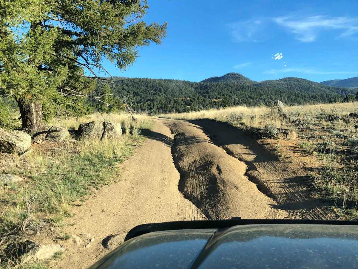
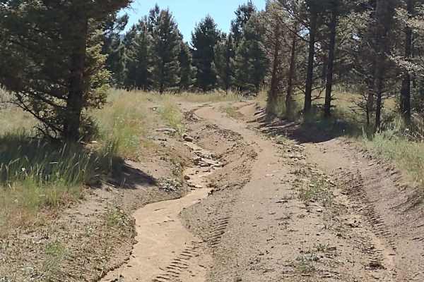
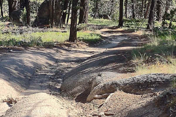
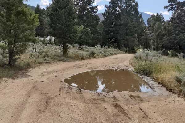
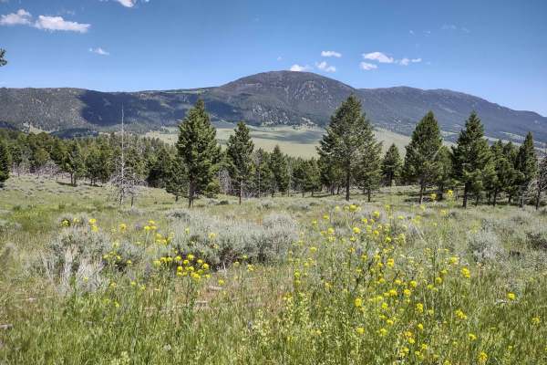
South Beaver is an approachable 1.4-mile dirt loop near North Whitetail Road that is ideal for beginners and casual offroaders looking for a quick, scenic drive with a touch of excitement. Navigating through a pine-forested valley, the route climbs from 5,295 feet to a maximum elevation of 5,532 feet, offering a cumulative elevation gain of 261 feet. The trail surface consists of unmaintained dirt, rock, and ruts that can become muddy after rain or snow, meaning high-clearance four-wheel-drive vehicles, SxSs, and ATVs are recommended. While mostly straightforward with a technical rating of 2, a steep, rutted hill climb at the end of the loop provides a fun challenge that will keep drivers engaged.
Because of its high elevation, the route can become impassable during winter months, requiring recovery gear if you choose to brave the snow. There are no campsites directly along this short loop, but the surrounding Beaver Creek and Whitetail Road area offers abundant dispersed camping opportunities for those wanting to extend their stay. Cell phone service is non-existent in this remote area, so off-line navigation is essential. Access is straightforward directly from North Whitetail Road, making it an easy add-on to other local trails in the region.
Difficulty
Dirt or rocky road, typically unmaintained after rain or snow. You may encounter shallow water crossings and obstacles under 12" on the trail, including small ledges. Roads are typically one to two vehicles wide.
Access Description
There are no fees or permits required to access this route, but vehicles should be equipped for unmaintained mountain conditions. There is no cellular service in the area, so downloading offline maps is highly recommended. The trail is unmaintained in the winter and can become impassable due to snow accumulation.