
Beginner Off-Road Trails
Near Puryear, Tennessee
Explore All Beginner Trails Near Puryear, Tennessee
Beginner Off-Road Trails Near Puryear, Tennessee
Discover the best beginner-friendly off-road trails near you. These easier, lower-rated trails are a great place to start — browse trail maps, check difficulty ratings, and find your next adventure.
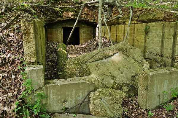
Forest Service Road 403
Forest Service Road 403 intersects with FSR 230 in the southwestern section of Land Between the Lakes and is a part of the Forest Service Road System at LBL. The trailhead is marked with a small numbered sign. The trail takes a southwesterly route and ends at the shoreline of Kentucky Lake in Lost B...
Learn more about Forest Service Road 403
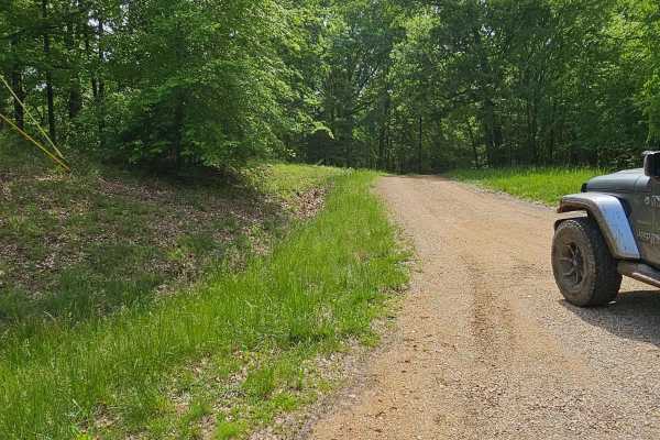
Forest Service Road 401
Forest Service Road 401 is a very short but fairly technical descent toward the shoreline of Kentucky Lake. The trailhead is marked, intersects with FSR 230 or Fort Henry Road, and descends to the west and south. A beautifully wooded landscape shows a bit of use on this trail. The trail consists of ...
Learn more about Forest Service Road 401
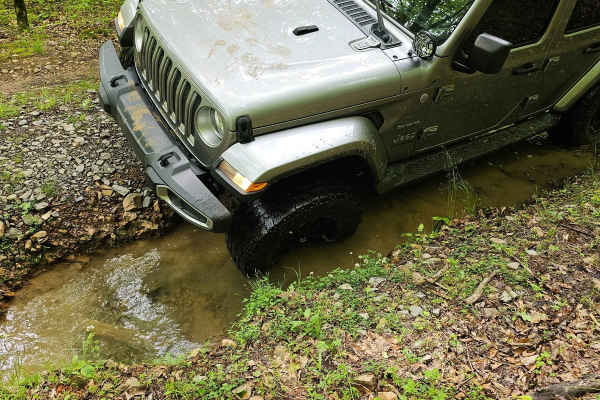
Forest Service Road 236
Forest Service Road 236, nestled in the southwestern corner of the Land Between the Lakes, offers a scenic and engaging experience for off-road enthusiasts. With its starting point at the crossroads of FSR 230 and 236, the trail meanders southeast towards Highway 79, presenting a mix of gravel, dirt...
Learn more about Forest Service Road 236
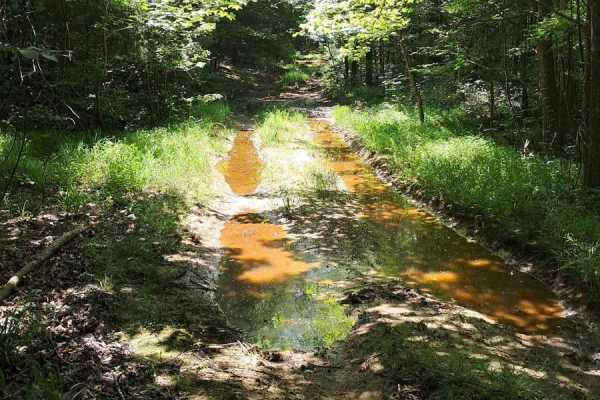
FS 402
Fun trail, lots of puddling, and ways to get your vehicle dirty. Few washouts and slippery areas. There is a tricky spot roughly halfway through where your left side will be much lower than the right side. It does just end at an opening and does not continue past. Good spot to turn around and do it ...
Learn more about FS 402
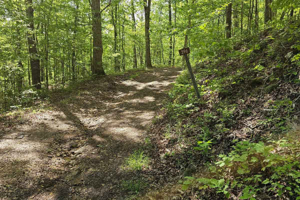
Forest Service Road 396
This is another short but fun route for the beginner. This trail is great for learning your vehicle, picking lines, and developing a better understanding of how your vehicle handles obstacles. The trailhead is marked and is at the intersection of FSR 206 and heads west, descending to the shoreline o...
Learn more about Forest Service Road 396
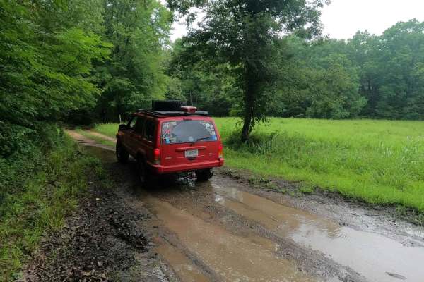
Morgan Cemetery Road FSR 222
Morgan Cemetery Road FSR 222 is a rough gravel forestry road through the southern Tennessee section, center area of the peninsula, within the Land Between the Lakes National Recreation Area. It features a gravel road that takes a beating from the weather and paired with the lack of maintenance, has ...
Learn more about Morgan Cemetery Road FSR 222
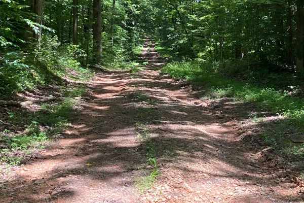
Bear Creek Road
Starts off easy going, small washouts and puddle crossings. The bottoms of the crossings are not muddy and pretty solid. About halfway through, you encounter a 30-degree downward incline. Massive washouts and slippery, loose rock. Spotter advised. Nice little trail through the woods that ends at a p...
Learn more about Bear Creek Road
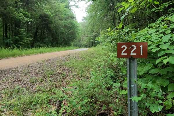
Tharpe Road FSR 221
Tharpe Road FSR 221 is a gravel forestry road through southern Tennessee, the center section of the peninsula, within the Land Between the Lakes National Recreation Area. It features a gently and well maintained gravel road going over rolling hills, from the Woodland Trace on the east side to the FS...
Learn more about Tharpe Road FSR 221
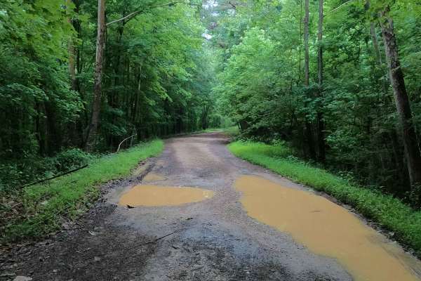
Tharpe Hollow - FS 384
The Tharpe Hollow / Whitford Cemetery Road FS 384, is a gravel and natural dirt forest service road through the southern Tennessee section, Lake Barkley side of Land Between the Lakes National Recreation Area. The road leads east off the Woodland Trace, at first giving the feeling it is a basic grav...
Learn more about Tharpe Hollow - FS 384
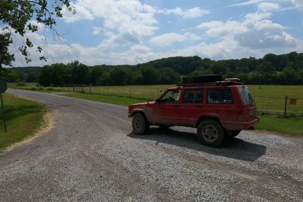
Ginger Bay Road FS 205
Ginger Bay Road FS 205 is a gravel forestry road through the southern Tennessee section, centrally located heading west to the Kentucky Lake side of Land Between the Lake National Recreation Area. It is a generally smooth gravel road connecting from the east at the south Bison Range and the Woodland...
Learn more about Ginger Bay Road FS 205
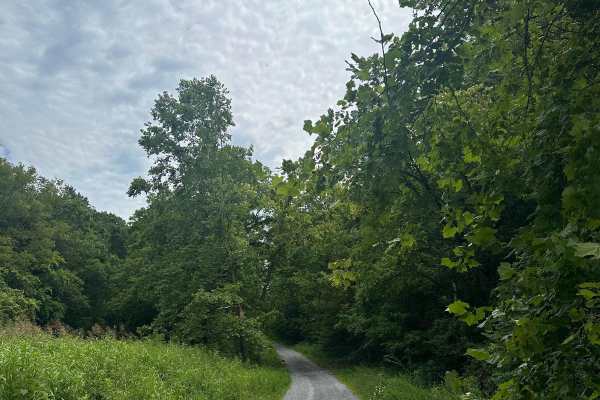
FS - 204
FS 204 is a mix of gravel and dirt road that dead ends with a closed FS road, requiring users to turn around. Along the road, you will pass a house that was the last inhabited home within LBL. Further up the road, there is a cemetery where the homeowner was laid to rest.
Learn more about FS - 204

George Watson Road
George Watson Road takes you to to a primitive Boat Ramp on Lake Barkley. The trail is a gravel forestry road with some soft sand spots that can turn into mud holes after heavy rain. This trail is ususally a very easy road. The Land between the Lakes is an 170,000-acre inland peninsula. Approximatel...
Learn more about George Watson Road
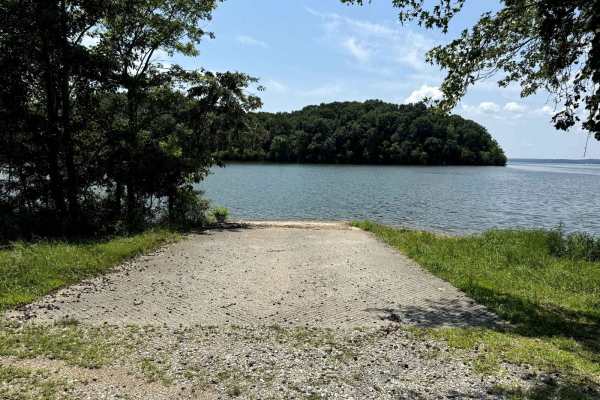
Jones Creek Road
Jones Creek Road takes you to to a primitive campsite and a paved boat ramp on Lake Kentucky. The trail is a gravel forestry road with some soft sand spots that can turn into mud holes after heavy rain. Usually a very easy road. The land between the Lakes is a 170,000-acre inland peninsula. Approxim...
Learn more about Jones Creek Road

Fox Hollow Bottoms FSR 219
The Fox Hollow Bottoms FSR 219 is a gravel forestry road through the southern Tennessee section, Lake Barkley side, of Land Between the Lake National Recreation Area. To differ from the other half of Fox Hollow, the Bottoms traverses alongside the feeder creeks that lead to the Fox Hollow bay area o...
Learn more about Fox Hollow Bottoms FSR 219
Fox Hollow Hill FSR 218
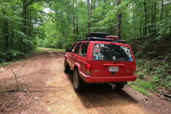
The Fox Hollow Hill FSR 218 is a gravel forestry road through the southern Tennessee section, Lake Barkley side, of Land Between the Lake National Recreation Area. This road features rolling hills and beautiful tree lines, with minimal water collection spots on the road surface and occasional mild s...
Learn more about Fox Hollow Hill FSR 218
Neville Bay Road 214
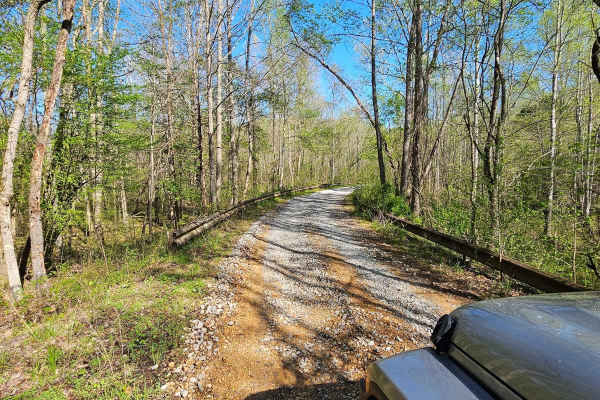
This trail is part of the Land Between the Lakes Forestry Road System. It starts its southern leg at Woodlands Trace National Scenic Byway (also known as The Trace), heads east along the northern shore of Neville Bay, and turns north to eventually connect with Linton Ferry Road. At the time of this ...
Learn more about Neville Bay Road 214
Mays Hollow Road - FS 343
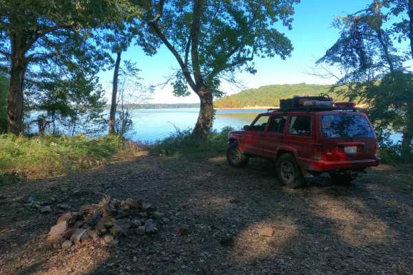
Mays Hollow Road FS 343 is a natural-improved forestry road through the southeast corner of the southern Kentucky section, Kentucky Lake side, of the Land Between the Lakes National Recreation Area. This trail is placed along the hillside leading from Eagle Point ridge top to the south Turkey Bay sh...
Learn more about Mays Hollow Road - FS 343
Redd Hollow Road - FS 171
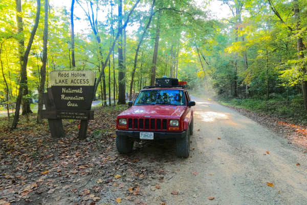
Redd Hollow Road FS 171 is a gravel forestry route through the southwest corner of the Kentucky section, Kentucky Lake side, of the Land Between the Lakes National Recreation Area. This route is simple, coming off the ridge top where the Woodland Trace road lays, and following gradually downhill to ...
Learn more about Redd Hollow Road - FS 171
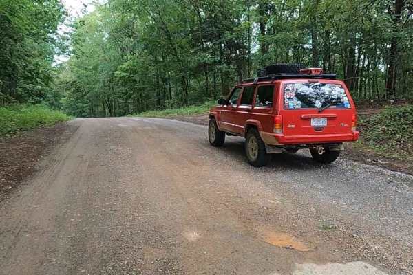
Gatlin Point South FSR 227
Gatlin Point South FSR 227 is a gravel forestry road through the southeast corner of the southern Tennessee section, Lake Barkley side, of the Land Between the Lake National Recreation Area. This road features small rolling hills and beautiful treelines, with minimal water collection spots on the ro...
Learn more about Gatlin Point South FSR 227
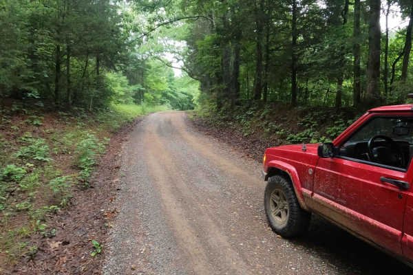
Bear Creek Road FSR 229
Bear Creek Road FSR 229 is a gravel forestry road through the southeast corner of the southern Tennessee section, Lake Barkley side, of the Land Between the Lake National Recreation Area. This road is made up of small hills leading to the generally flat bottoms near Bards Lake and crosses over the B...
Learn more about Bear Creek Road FSR 229
Beginner ATV trails near Puryear, Tennessee
Explore ATV-friendly trails near you. These trails are accessible for vehicles up to 50 inches wide, perfect for ATVs and smaller off-road machines.
FS 402
Fun trail, lots of puddling, and ways to get your vehicle dirty. Few washouts and slippery areas. There is a tricky spot roughly halfway through where your left side will be much lower than the right side. It does just end at an opening and does not continue past. Good spot to turn around and do it ...
Learn more about FS 402
Bear Creek Road
Starts off easy going, small washouts and puddle crossings. The bottoms of the crossings are not muddy and pretty solid. About halfway through, you encounter a 30-degree downward incline. Massive washouts and slippery, loose rock. Spotter advised. Nice little trail through the woods that ends at a p...
Learn more about Bear Creek Road
George Watson Road
George Watson Road takes you to to a primitive Boat Ramp on Lake Barkley. The trail is a gravel forestry road with some soft sand spots that can turn into mud holes after heavy rain. This trail is ususally a very easy road. The Land between the Lakes is an 170,000-acre inland peninsula. Approximatel...
Learn more about George Watson Road
Jones Creek Road
Jones Creek Road takes you to to a primitive campsite and a paved boat ramp on Lake Kentucky. The trail is a gravel forestry road with some soft sand spots that can turn into mud holes after heavy rain. Usually a very easy road. The land between the Lakes is a 170,000-acre inland peninsula. Approxim...
Learn more about Jones Creek Road
Beginner UTV/side-by-side trails near Puryear, Tennessee
Find UTV and side-by-side trails near you. These trails accommodate vehicles up to 60 inches wide, ideal for UTVs, side-by-sides, and wider off-road rigs.
Bear Creek Road
Starts off easy going, small washouts and puddle crossings. The bottoms of the crossings are not muddy and pretty solid. About halfway through, you encounter a 30-degree downward incline. Massive washouts and slippery, loose rock. Spotter advised. Nice little trail through the woods that ends at a p...
Learn more about Bear Creek Road
FS - 204
FS 204 is a mix of gravel and dirt road that dead ends with a closed FS road, requiring users to turn around. Along the road, you will pass a house that was the last inhabited home within LBL. Further up the road, there is a cemetery where the homeowner was laid to rest.
Learn more about FS - 204
George Watson Road
George Watson Road takes you to to a primitive Boat Ramp on Lake Barkley. The trail is a gravel forestry road with some soft sand spots that can turn into mud holes after heavy rain. This trail is ususally a very easy road. The Land between the Lakes is an 170,000-acre inland peninsula. Approximatel...
Learn more about George Watson Road
Jones Creek Road
Jones Creek Road takes you to to a primitive campsite and a paved boat ramp on Lake Kentucky. The trail is a gravel forestry road with some soft sand spots that can turn into mud holes after heavy rain. Usually a very easy road. The land between the Lakes is a 170,000-acre inland peninsula. Approxim...
Learn more about Jones Creek Road
The onX Offroad Difference
onX Offroad combines trail photos, descriptions, difficulty ratings, width restrictions, seasonality, and more in a user-friendly interface. Available on all devices, with offline access and full compatibility with CarPlay and Android Auto. Discover what you're missing today!
Open Trail Map