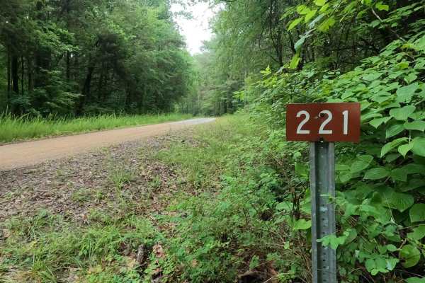
Trail Overview
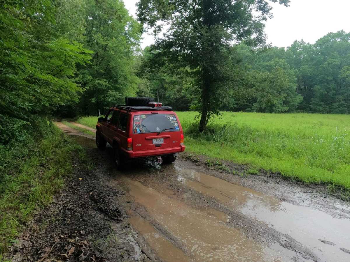
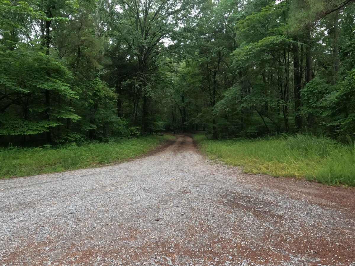
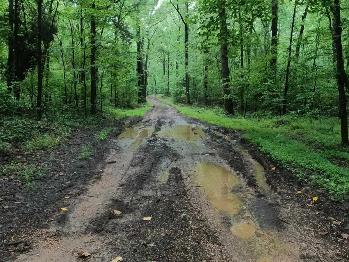
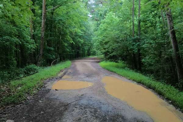
Morgan Cemetery Road FSR 222 is a rough gravel forestry road through the southern Tennessee section, center area of the peninsula, within the Land Between the Lakes National Recreation Area. It features a gravel road that takes a beating from the weather and paired with the lack of maintenance, has turned into a fun little road. The gravel has washed in spots, forming soft bottomed dirt in it's place and water collection spots have formed in the low spots, forming small 6"-12" deep water holes throughout. Towards the end you will pass a decent camp cutout on the left at 36.57036, -87.97303, and lastly at the turn around will come the Morgan Cemetery, at 36.56876, -87.97327, and an entrance point to the North South LBL hiking trail. The road is only a mile in length, but packs a little punch especially if you want to camp at a lesser known spot without much traffic.
Difficulty
The Morgan Cemetery's difficulty is rooted heavily in how wet it is, on average, it appears to hold 6" of water in the low laying well shaded water collection spots, but also shows signs that it can hold up to 12" of water in some of these holes. The base rating it given a 2/10, but could increase to a 3/10 in heavy rain and wet conditions, but if ever mended the difficulty could decrease back to a 1/10.