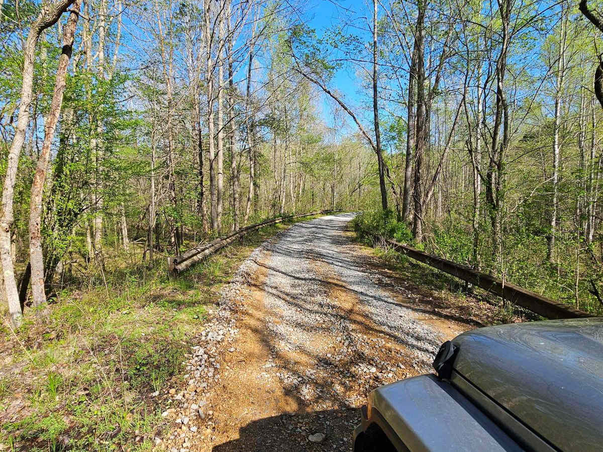
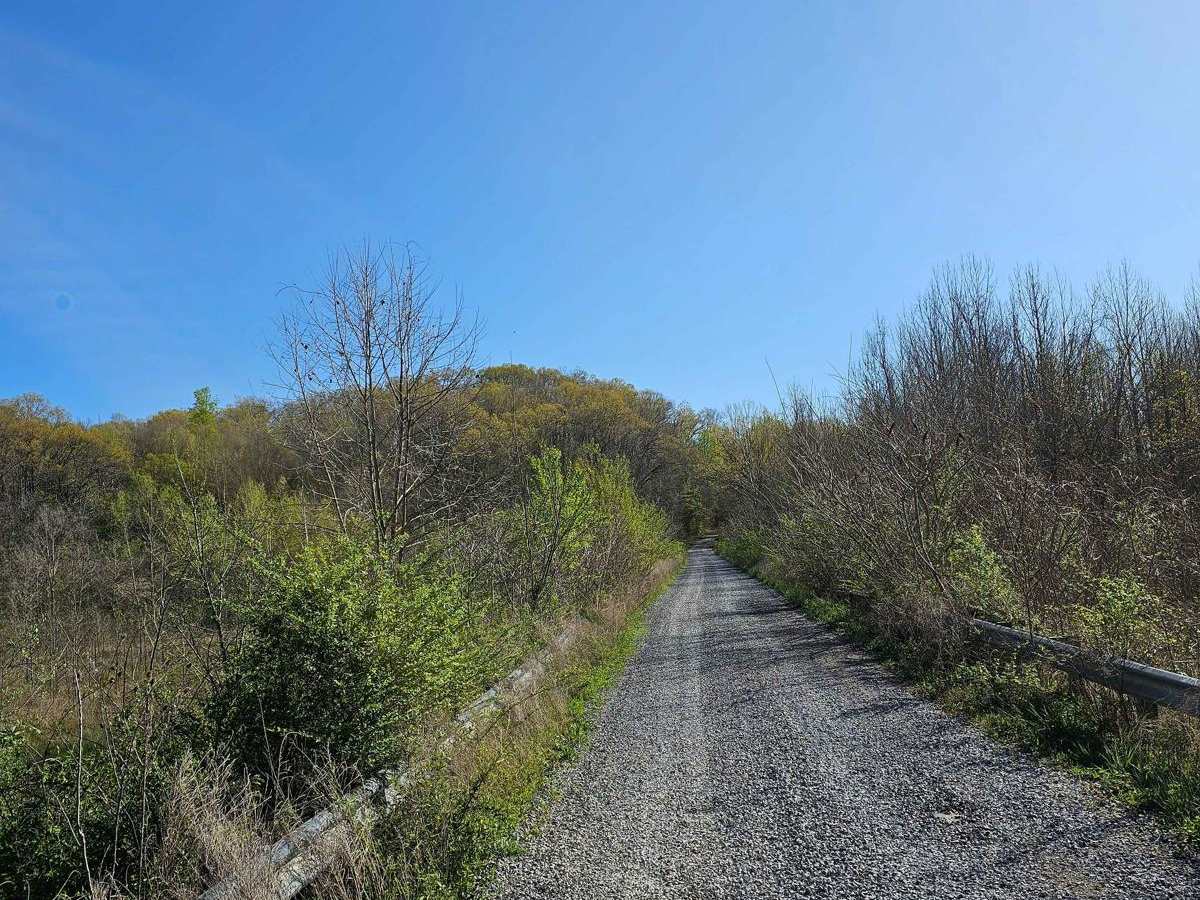
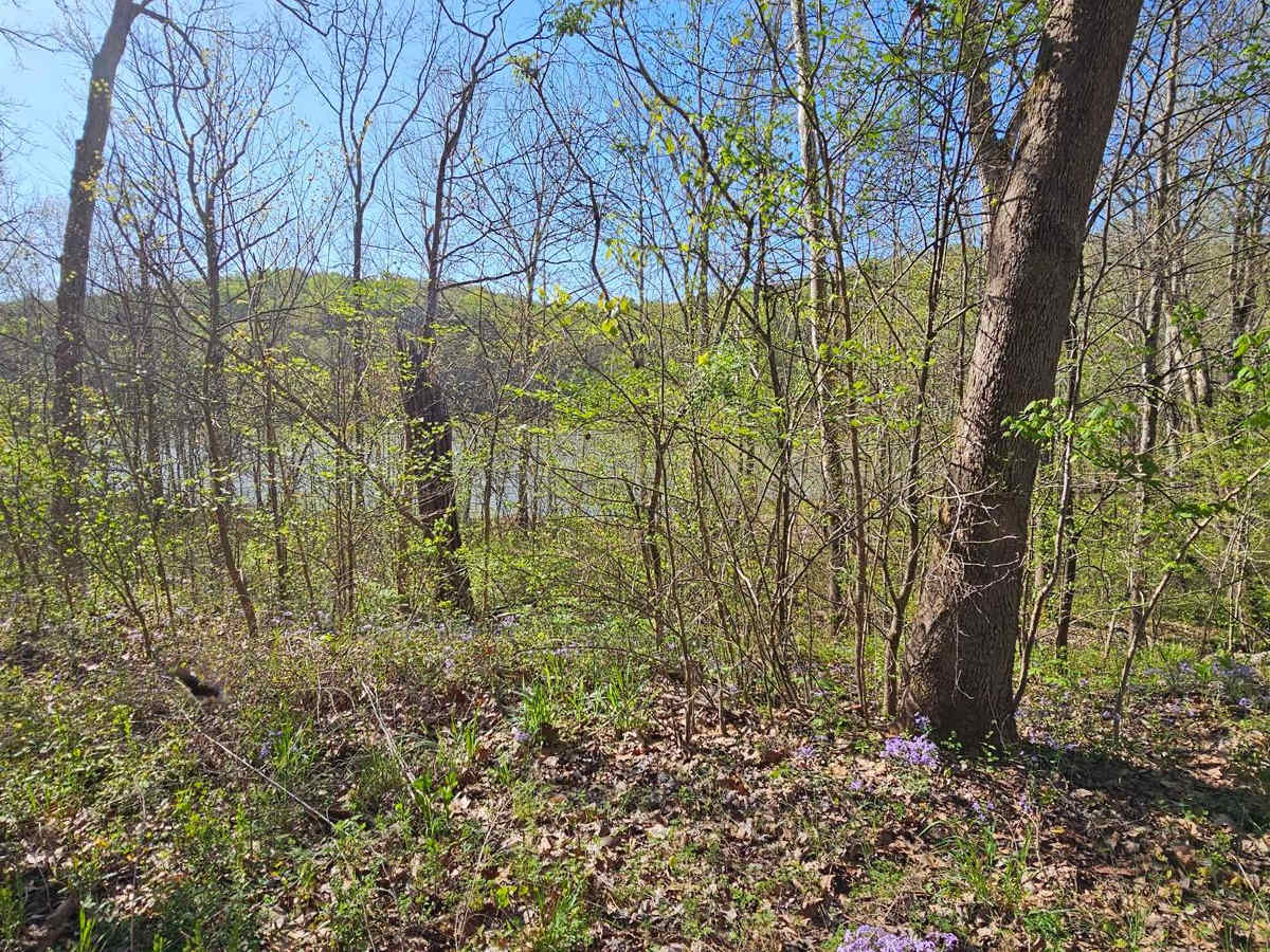
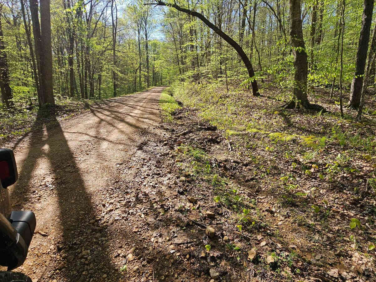
Neville Bay Road 214

Total Miles 4.9
Technical Rating
1 Easy
Best Time Spring, Summer, Fall, Winter
Trail Type Full-Width Road
Accessible By
Open Trail Map

Trail Overview

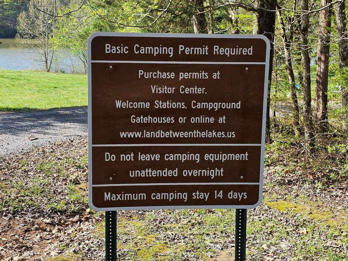
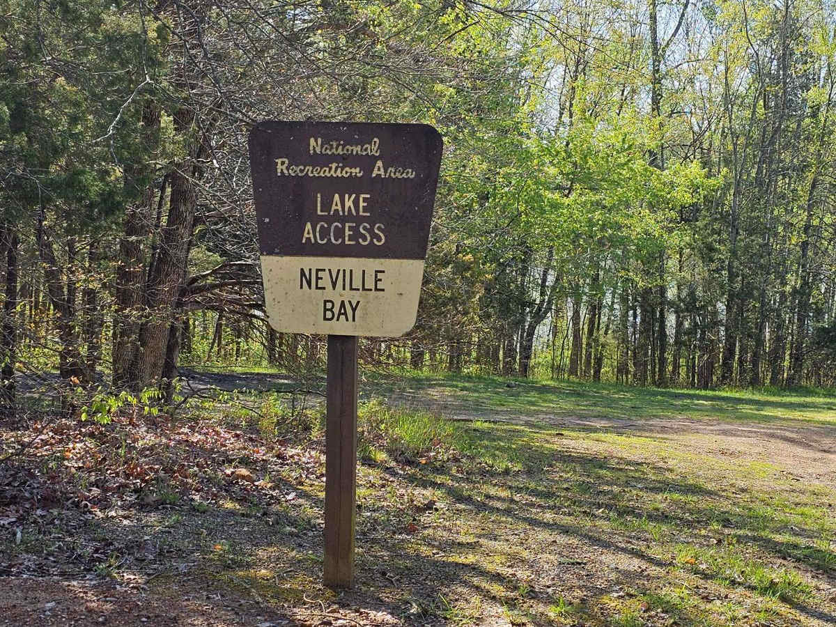
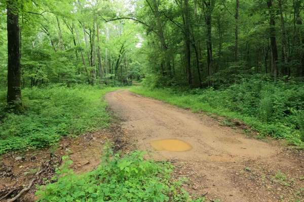
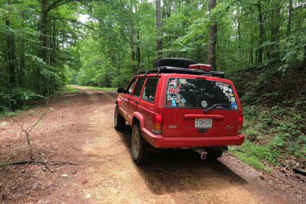
This trail is part of the Land Between the Lakes Forestry Road System. It starts its southern leg at Woodlands Trace National Scenic Byway (also known as The Trace), heads east along the northern shore of Neville Bay, and turns north to eventually connect with Linton Ferry Road. At the time of this report, the bridge at Crockett Creek was washed out, resulting in the closure of the trail at that point. The trail is well-maintained, consisting mostly of graded gravel roads. Some short sections are dirt with minor rutting, but they are easily navigable without 4WD. The trees and brush are well-trimmed, eliminating the risk of pinstriping from the brush. Seasonal hunting occurs in this area, so obtaining an MVUM map and adhering to all posted signs and closures is advised. The trail may lack technical off-roading challenges, but it compensates with breathtaking scenery. It winds through dense woods, with numerous creeks and lake views to enjoy along the way. However, don't expect any water crossings; these are managed by bridges and pipe culverts. Keep an eye on the surroundings, as you might encounter relics and ruins left by generations past who once inhabited this area.

Photos of Neville Bay Road 214

Difficulty

Be careful to not become so distracted by the scenery that you drive off the trail. That's the only way you will have any difficulty on this trail.

Technical Rating

1

Status Reports

Add Status Report
Jeremy T
Jul 13, 2025
Open
Pretty trail through dense wooded area. Saw a few campers.
Darrell MYHRLE
Oct 10, 2024
Open
Nice 1 lane, mostly gravel road to Neville Bay. continuing on 214 the road/trail narrows with hills & valleys. 214 reaches a cemetery & at that point maintenance ends & the road/trail is overgrown. Beautiful drive temp in 70s. 2023 Gladiator Rubicon
John Caselli
Jul 01, 2024
Open

Neville Bay Road 214 Trail can be accessed by the following ride types:

  • Single Track
  • 50 Inch
  • 60 Inch
  • High Clearance
  • Full Width

Neville Bay Road 214 Map

The onX Offroad Difference

onX Offroad combines trail photos, descriptions, difficulty ratings, width restrictions, seasonality, and more in a user-friendly interface. Available on all devices, with offline access and full compatibility with CarPlay and Android Auto. Discover what you're missing today!

Open Trail Map