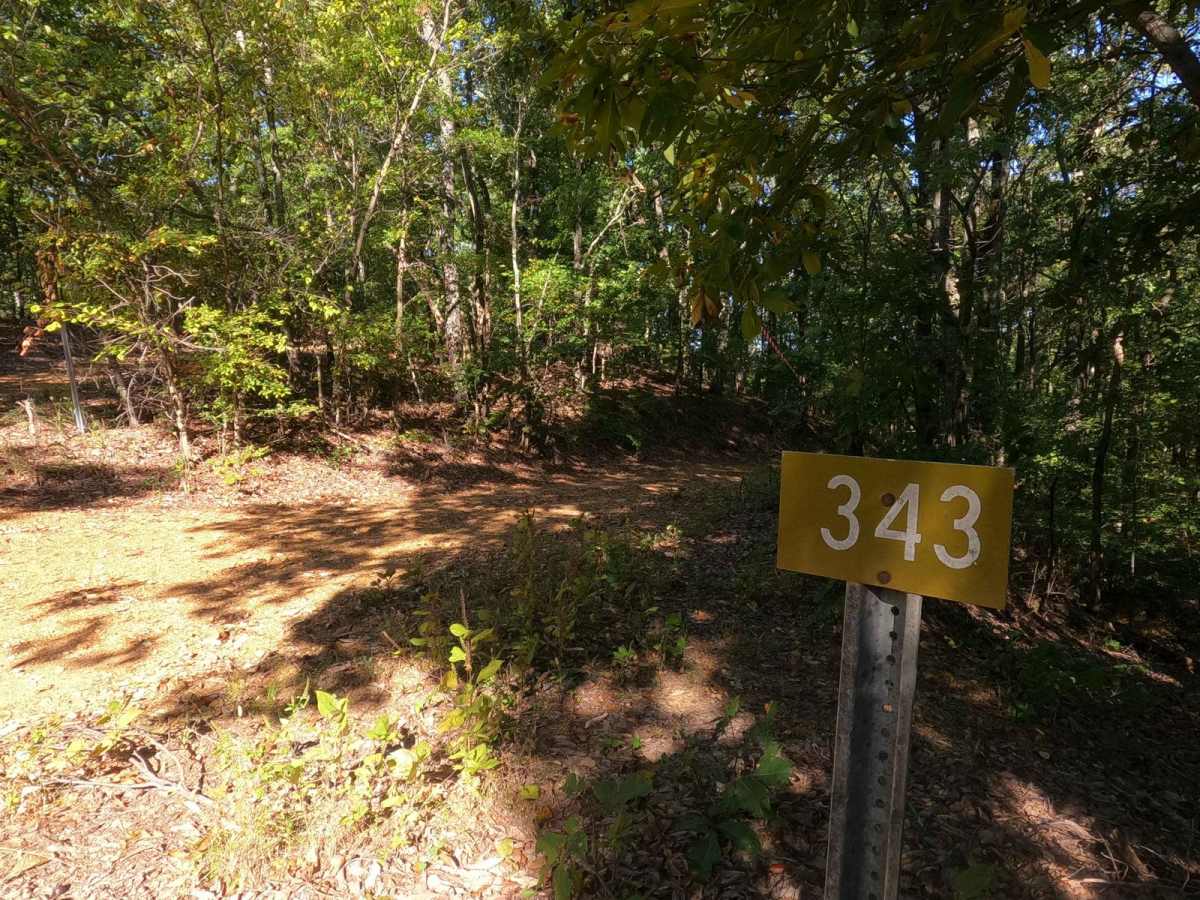
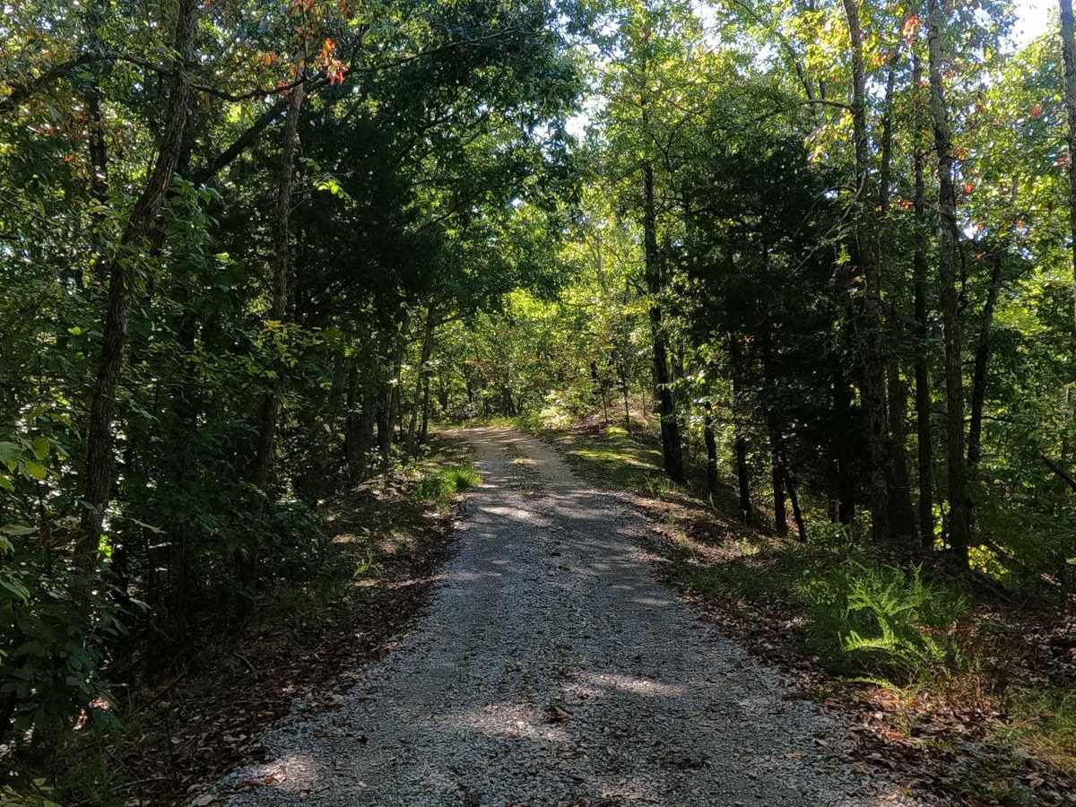
Trail Overview
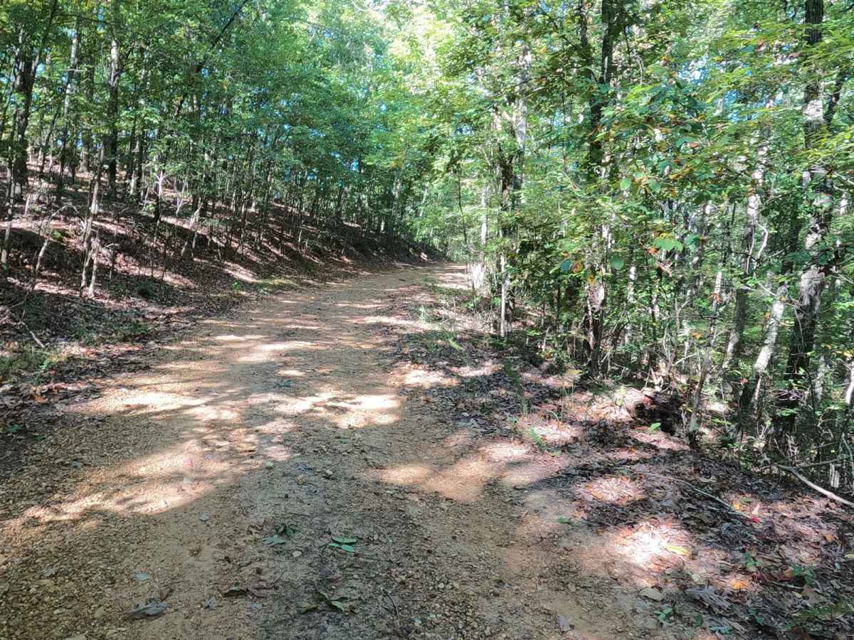
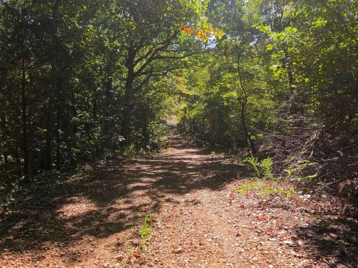
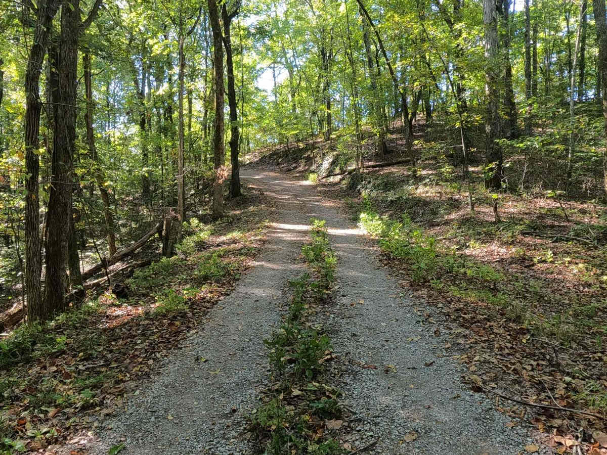
Mays Hollow Road FS 343 is a natural-improved forestry road through the southeast corner of the southern Kentucky section, Kentucky Lake side, of the Land Between the Lakes National Recreation Area. This trail is placed along the hillside leading from Eagle Point ridge top to the south Turkey Bay shoreline, featuring a moderately steep grade through beautiful tree lines, over dirt mixed with natural coarse gravel, and scattered with natural rock throughout. An old building foundation can be seen to the south of the trail at 36.73949, -88.08819. This leads to a cozy little dispersed camp spot, featuring a stone fire ring, at the ending turnaround point.
Difficulty
FS 343 is a mostly well-mannered natural-improved route with a gem of a camping spot at the tail end, but it doesn't come free. The trail boasts a moderate steep grade of coarse rock mixed with dirt as the base of the road, featuring obstacles of mild ruts and larger natural rock scattered throughout the trail. It is given a base rating of 2/10, mainly for the steep descent down to the bottoms along the shoreline. The difficulty of this trail would increase in times of wet conditions and rain.
History
The Mays Hollow Road is named after the Mays family that once lived in this location. Their family cemetery is located to the east at 36.742070, -88.080927.