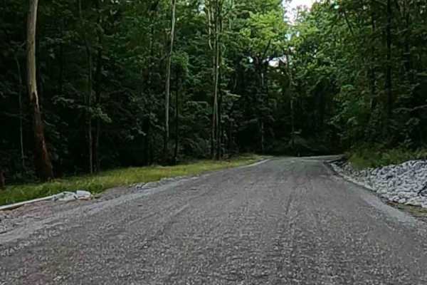
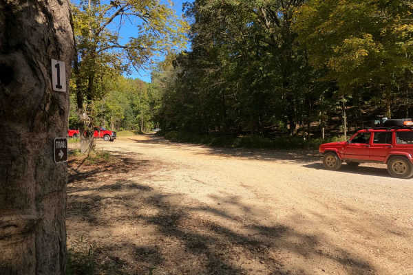
Trail Overview
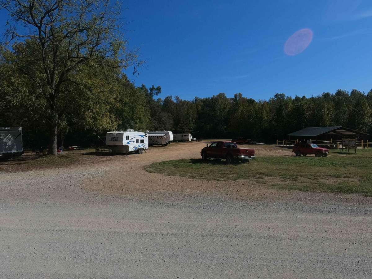
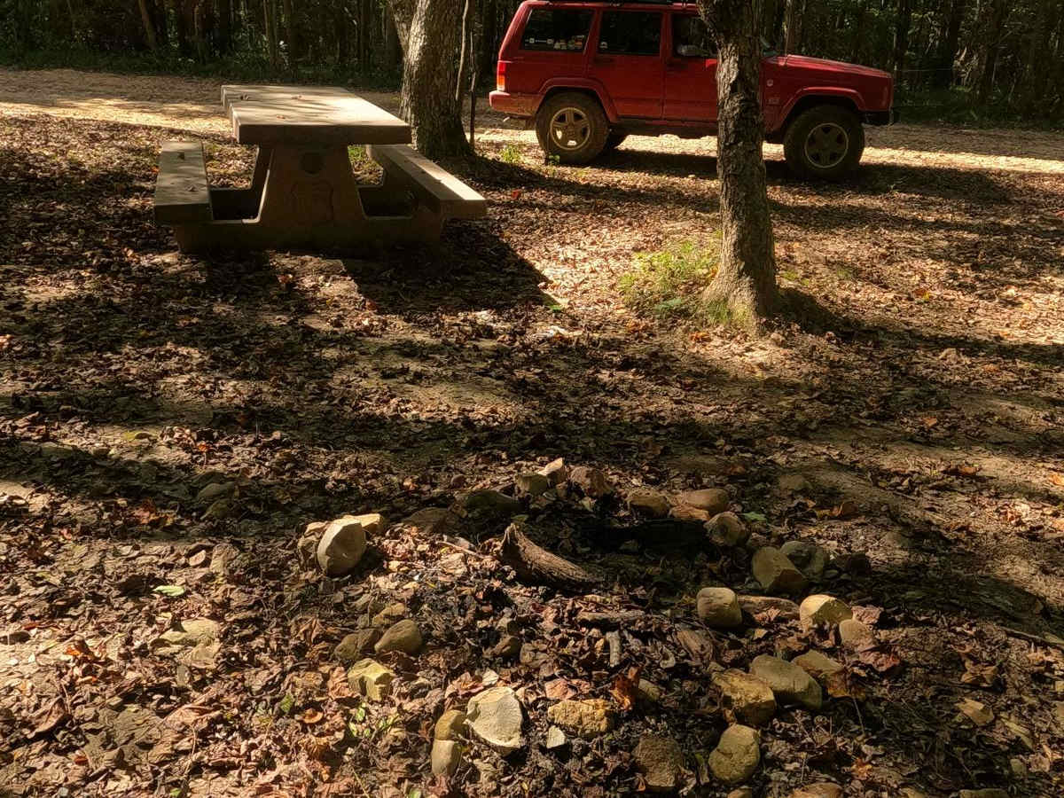
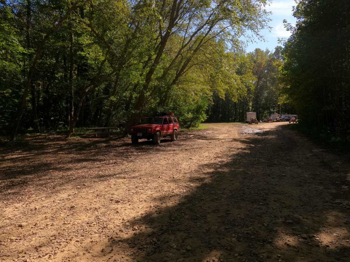
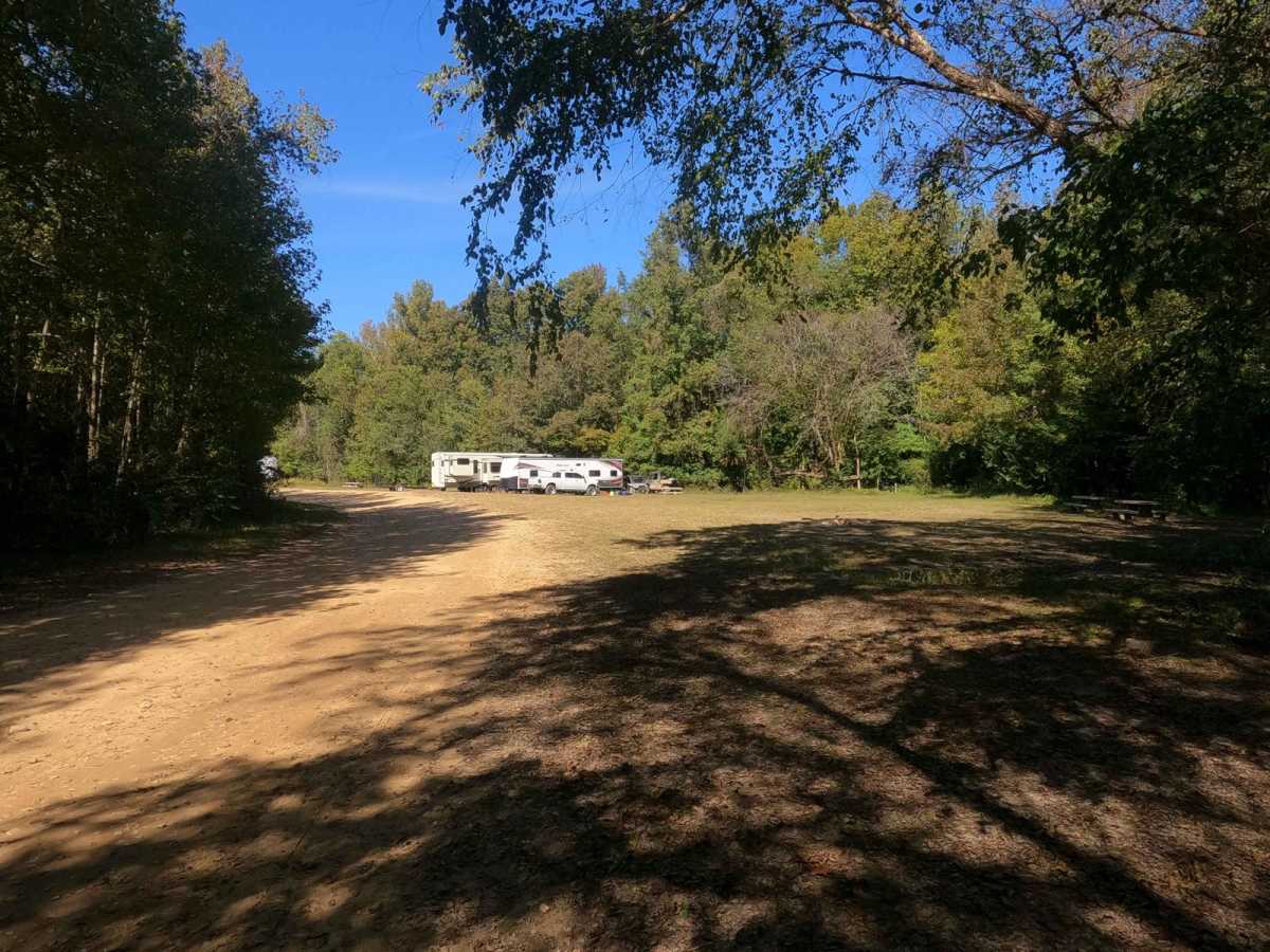
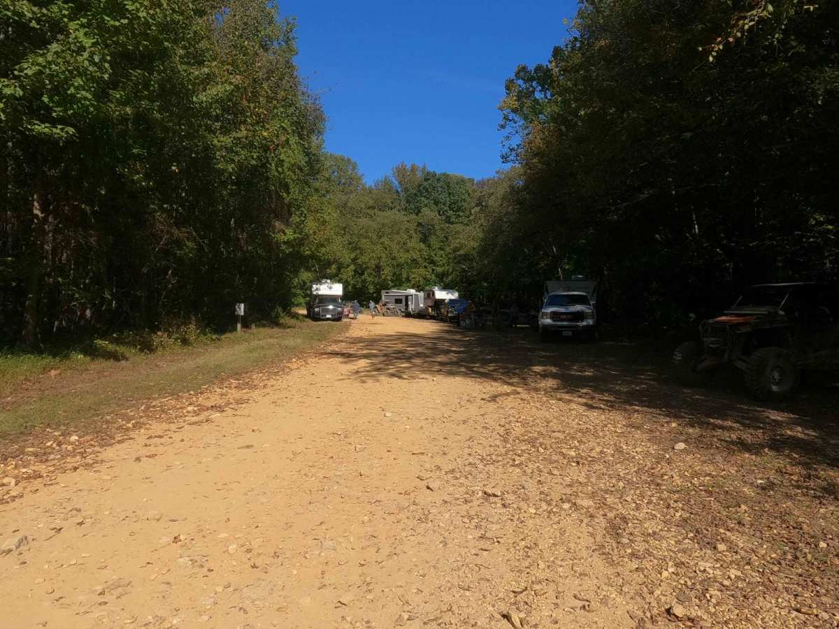
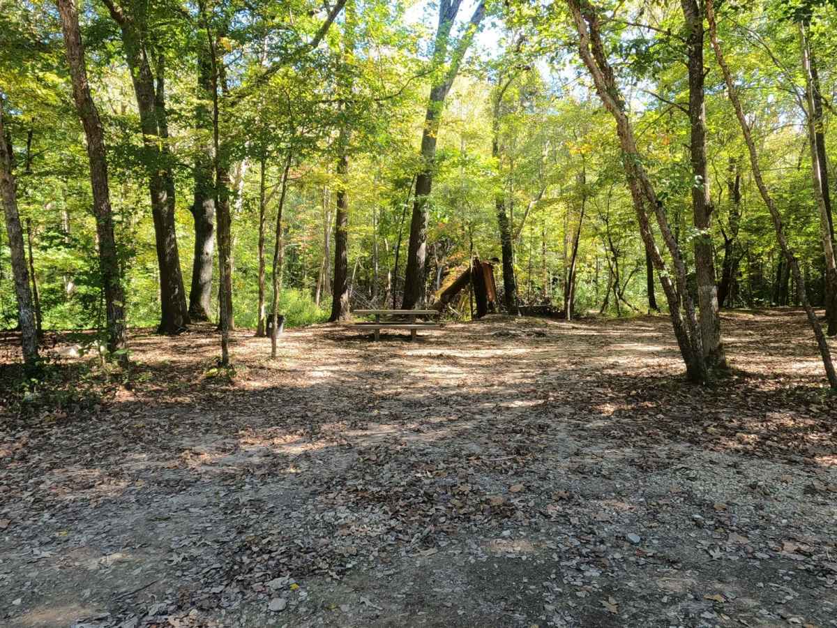
The Mays Camp, also referred to as Turkey Trot Camp, is a popular camp road at Turkey Bay OHV, within the Land Between the Lakes National Recreation Area. Its pet name and official ID is Mays Camping Area FS 167 Spur D2. It features a flat-laying road starting with the small event pavilion and Turkey Trot signs at 36.74620, -88.08037, along with three main camping plots, the entrance lot at 36.74566, -88.07962, the mid-way open area at 36.74455, -88.08012, and the tail end turn-around area at 36.74403, -88.08156. The camping area has established fire rings both of natural rock and manmade BBQ pits, as well as picnic tables. The pathway through the area consists of dirt, small water collection spots, and a small mud hole at the turnaround point. The area rests alongside the Turkey Trot Youth Riding Area and provides great access to its many entrance points.
Difficulty
When using the Mays Camp Road for its intended use, it is a 1/10, especially when dry, but with the one mud hole at the turnaround spot, it could be deemed a 2/10. This is subject to change, considering the road is intended to be exclusively a camping access and it may be mended. Thin surface mud can be present throughout most of this road when wet, making things slick and potentially dirty.