
Beginner Off-Road Trails
Near Piedra, Colorado
Explore All Beginner Trails Near Piedra, Colorado
Beginner Off-Road Trails Near Piedra, Colorado
Discover the best beginner-friendly off-road trails near you. These easier, lower-rated trails are a great place to start — browse trail maps, check difficulty ratings, and find your next adventure.
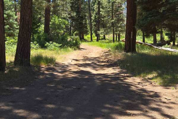
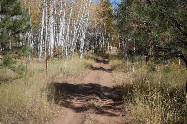
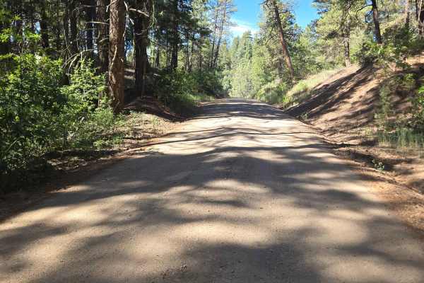
Sally's Overlook Trail - FS 639E
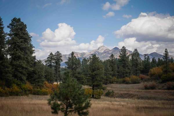
Sally's Overlook is a wonderful trail that leads to a very scenic box canyon, with the Piedra River running through it and a beautiful shot of Pagosa Peak. It is a great place to take chairs, a cooler, and some lunch for your romantic types! The trail begins at a 3-way intersection after riding 2.3 ...
Learn more about Sally's Overlook Trail - FS 639E
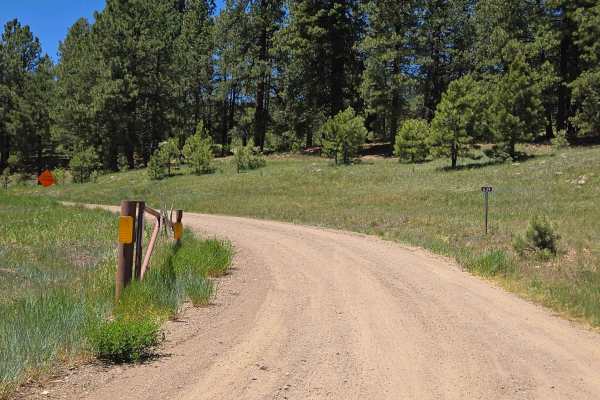
Trail Ridge - FS 639
Trail Ridge Trail - FS 639 starts as a gravel road for 2.3 miles. There are several blind turns on this trail, so when entering the turn, please be watchful of other drivers. The first part of the trail is well-maintained. After 2.3 miles, the trail comes to an intersection with 3 options. To contin...
Learn more about Trail Ridge - FS 639
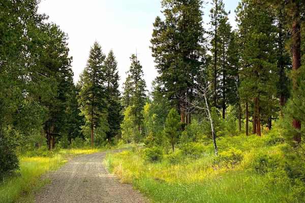
Gordon Creek Rd #625
Gordon Creek Road (#625) is a short little road off of Plumtaw Road (#634) that will take you to an unnamed trail available for hiking, biking, horses and snowmobiles. The road is an easy dirt road with a couple of disturbed primitive campsites available along the roadside. While it has been adopted...
Learn more about Gordon Creek Rd #625
McManus Road-Fr Rd 633
McManus road connects into and runs east from Piedra road. Plumtaw road connects into it and can make for a pleasant drive back to Pagosa Springs. When you arrive at the fork stay left for McManus road, go right for Plumtaw road. McManus will take you through scenic pastoral ranchlands, Ponderosa Pi...
Learn more about McManus Road-Fr Rd 633
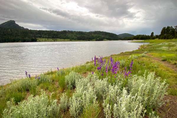
Williams Creek & Reservoir Rd #640
Williams Creek and Reservoir road (#640) is all about recreation; camping, picnicking, hiking, horseback riding, biking, fishing and wakeless boating on the reservoir. This is an easy maintained gravel/dirt road suitable for any vehicle. Located in the San Juan National Forest at 8250 ft elevation, ...
Learn more about Williams Creek & Reservoir Rd #640
Poison Park Rd #644
Poison Park Road (#644) connects to the Williams Creek & Reservoir Road (#640), leading to the Poison Park Trailhead with a large parking area to accommodate horse trailers. The Weminuche Trail (#592) begins here which is used heavily by horseback riders as well as hikers. It will connect to the Sha...
Learn more about Poison Park Rd #644

Circle T
The north end of Circle T starts on Monument Park East Road at a big trail sign. It heads south, riding through big open grassy meadows. The trail is pretty flat for the entire route, not gaining much elevation, and staying very gradual, with a bit of loose rock. It rides through a sparse forest wit...
Learn more about Circle T
Piedra Road FR 631
Piedra Road will lead you north out of Pagosa Springs past the airport and a few neighborhoods. It eventually turns into a Forest Service road with two large parking areas and trailheads at the beginning. Here, you can park your trailers for ATVs or 6x6s and air down or up. The road will take you to...
Learn more about Piedra Road FR 631
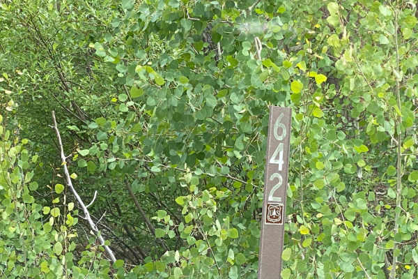
Sandbench-Fr Rd 642
Sandbench road branches off of Piedra road up on top of the ridge. There are a few disturbed primitive campsites. There were several signs marking sale boundaries, so will probably be some logging operations in the future. Many of those areas could use some clearing and will probably allow for more ...
Learn more about Sandbench-Fr Rd 642
Stockdrive
The east side of Stockdrive starts on Piedra Road at the Turkey Springs Trailhead, which is a dirt staging area. It goes west for less than 2 miles through a sparse forest of ponderosa pines, with grassy meadows, excellent views of the San Juan Mountains, and little bits of rock in the trail, but no...
Learn more about Stockdrive
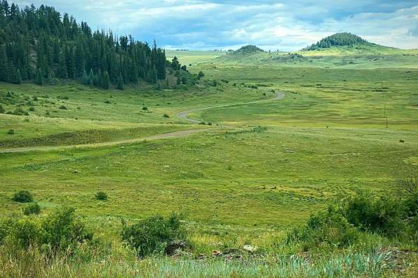
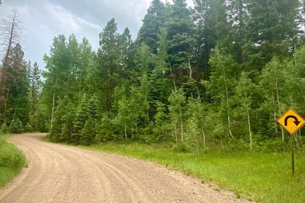
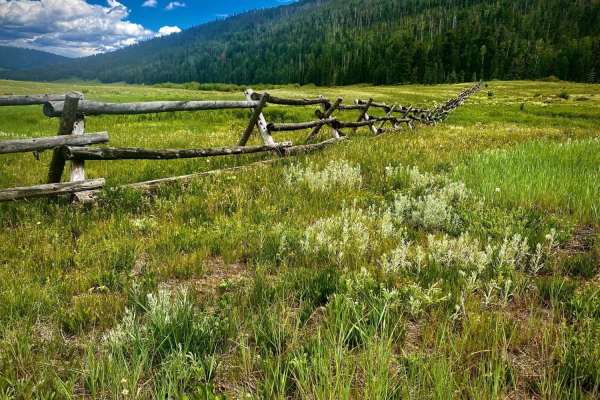
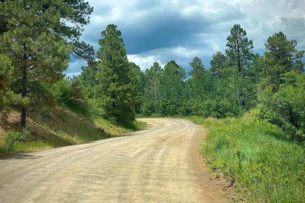
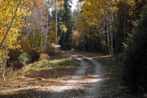
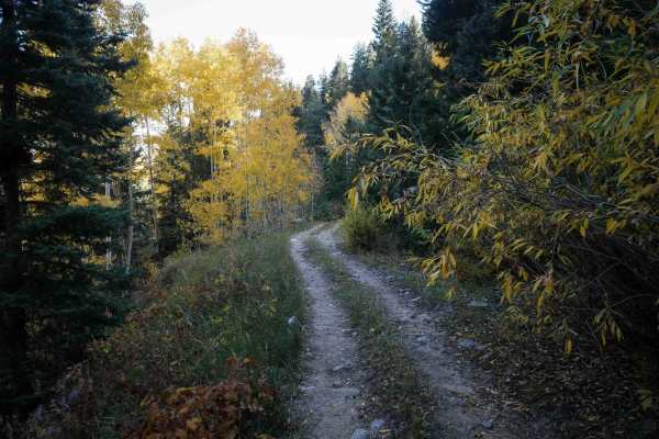
Plumtaw road
Plumtaw road is a scenic drive through the Weminuche Wilderness north of Pagosa Springs. It goes through beautiful sections of the San Juan National Forest, with great views of Pagosa Peak. There are peaceful meadows and wildflowers all along the drive depending upon the season. Combining this road ...
Learn more about Plumtaw road
Four Mile Falls & Lake Trails-Fr Rd 645
Four Mile Falls, Four Mile Lake and Anderson trails are north on Four Mile road out of Pagosa Springs. These are very popular trails since they are so close to Pagosa Springs and traverse part of the Weminuche Wilderness. The road itself is part of a beautiful scenic loop drive when combined with P...
Learn more about Four Mile Falls & Lake Trails-Fr Rd 645
Trail Spring
Trail Spring ATV trail starts at the very end of Monument Park East Road, at a metal pinch point at the entrance to the loop. The entire trail makes a 4.3-mile loop. The route is a fun easy/moderate trail with fewer rocks than the trails north of it. It traverses the mountainsides and hilltops, with...
Learn more about Trail Spring
Cutover
This is a short connector trail designated for vehicles 50" or less. There is a pinch point on either end of the trail. It connects Brockover Road to Newt Jack Road. The mile-long trail is fast, flat, and straight. It's mostly smooth dirt between ponderosa pines, with infrequent sections of loose ro...
Learn more about Cutover
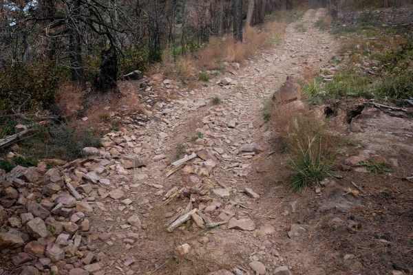
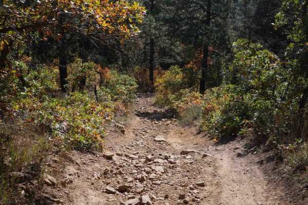
Chris Mountain
The east end of this trail starts on Turkey Springs Road, and it switchbacks up towards Chris Mountain Road. The trail is a tight two-track between scraggly gambel oak branches and pine trees. Although the switchbacks are pretty wide, they are often covered in loose rock and ruts, making them a bit ...
Learn more about Chris Mountain
Monument Mountain - 590
This almost 2-mile-long ATV trail starts at the very north end of Monument Park-West Road. It's an easy trail that accesses the longer Devil Mountain Trail which is a very popular trail for hunting access in the fall. The trail is a flat and smooth two-track for most of the route, winding through th...
Learn more about Monument Mountain - 590
South Brockover
The west end of South Brockover starts on Turkey Springs Road. It goes along the rim of a mesa, overlooking the mountains, intersects with Circle T, and continues east on an easy two-track. The majority of this trail is pretty easy. It has intermittent sections of loose rock and chunky embedded laye...
Learn more about South Brockover
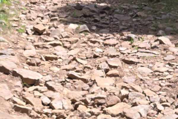
Snow Ranch Road
Snow Ranch Road - FS 628 is a dirt road that begins near the National Forest entrance from Turkey Springs Road. The beginning of this dirt road is very well-maintained, but as you progress further, it becomes rocky and uneven in some areas. There is also a low-water concrete crossing near the end o...
Learn more about Snow Ranch Road
Horse Creek
Horse Creek is a fun and easy ATV trail through the San Juan National Forest that descends 1,500 feet from south to north. The south end starts on Mule Mountain and winds through the forest until it ends on Monument Park West Road. This trail makes a nice loop with Elk Creek and is slightly easier t...
Learn more about Horse Creek
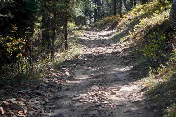
Chris Mountain Road - FS 681
Chris Mountain Road is a moderately challenging, fun trail that starts from the south end of the trail at Snow Ranch Road (FR628). The trail has multiple areas of rocky terrain that can be challenging for a beginning rider on an ATV or motorcycle, as it can really bounce you around. The beginning of...
Learn more about Chris Mountain Road - FS 681
Beginner ATV trails near Piedra, Colorado
Explore ATV-friendly trails near you. These trails are accessible for vehicles up to 50 inches wide, perfect for ATVs and smaller off-road machines.
Sally's Overlook Trail - FS 639E
Sally's Overlook is a wonderful trail that leads to a very scenic box canyon, with the Piedra River running through it and a beautiful shot of Pagosa Peak. It is a great place to take chairs, a cooler, and some lunch for your romantic types! The trail begins at a 3-way intersection after riding 2.3 ...
Learn more about Sally's Overlook Trail - FS 639E
Trail Ridge - FS 639
Trail Ridge Trail - FS 639 starts as a gravel road for 2.3 miles. There are several blind turns on this trail, so when entering the turn, please be watchful of other drivers. The first part of the trail is well-maintained. After 2.3 miles, the trail comes to an intersection with 3 options. To contin...
Learn more about Trail Ridge - FS 639
Gordon Creek Rd #625
Gordon Creek Road (#625) is a short little road off of Plumtaw Road (#634) that will take you to an unnamed trail available for hiking, biking, horses and snowmobiles. The road is an easy dirt road with a couple of disturbed primitive campsites available along the roadside. While it has been adopted...
Learn more about Gordon Creek Rd #625
McManus Road-Fr Rd 633
McManus road connects into and runs east from Piedra road. Plumtaw road connects into it and can make for a pleasant drive back to Pagosa Springs. When you arrive at the fork stay left for McManus road, go right for Plumtaw road. McManus will take you through scenic pastoral ranchlands, Ponderosa Pi...
Learn more about McManus Road-Fr Rd 633
Beginner UTV/side-by-side trails near Piedra, Colorado
Find UTV and side-by-side trails near you. These trails accommodate vehicles up to 60 inches wide, ideal for UTVs, side-by-sides, and wider off-road rigs.
Sally's Overlook Trail - FS 639E
Sally's Overlook is a wonderful trail that leads to a very scenic box canyon, with the Piedra River running through it and a beautiful shot of Pagosa Peak. It is a great place to take chairs, a cooler, and some lunch for your romantic types! The trail begins at a 3-way intersection after riding 2.3 ...
Learn more about Sally's Overlook Trail - FS 639E
Trail Ridge - FS 639
Trail Ridge Trail - FS 639 starts as a gravel road for 2.3 miles. There are several blind turns on this trail, so when entering the turn, please be watchful of other drivers. The first part of the trail is well-maintained. After 2.3 miles, the trail comes to an intersection with 3 options. To contin...
Learn more about Trail Ridge - FS 639
Gordon Creek Rd #625
Gordon Creek Road (#625) is a short little road off of Plumtaw Road (#634) that will take you to an unnamed trail available for hiking, biking, horses and snowmobiles. The road is an easy dirt road with a couple of disturbed primitive campsites available along the roadside. While it has been adopted...
Learn more about Gordon Creek Rd #625
McManus Road-Fr Rd 633
McManus road connects into and runs east from Piedra road. Plumtaw road connects into it and can make for a pleasant drive back to Pagosa Springs. When you arrive at the fork stay left for McManus road, go right for Plumtaw road. McManus will take you through scenic pastoral ranchlands, Ponderosa Pi...
Learn more about McManus Road-Fr Rd 633
The onX Offroad Difference
onX Offroad combines trail photos, descriptions, difficulty ratings, width restrictions, seasonality, and more in a user-friendly interface. Available on all devices, with offline access and full compatibility with CarPlay and Android Auto. Discover what you're missing today!
Open Trail Map