
Beginner Off-Road Trails
Near Montezuma, Georgia
Explore All Beginner Trails Near Montezuma, Georgia
Beginner Off-Road Trails Near Montezuma, Georgia
Discover the best beginner-friendly off-road trails near you. These easier, lower-rated trails are a great place to start — browse trail maps, check difficulty ratings, and find your next adventure.
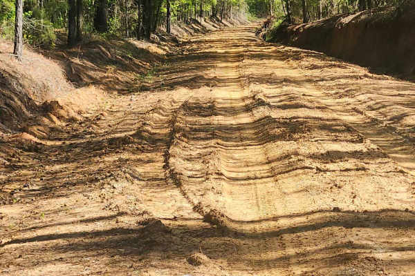
Tatum Road Trail
This 6.3‑mile through‑trail winds through timberland, hunting areas, and to hunting camps bordering the Hannahatchee Creek WMA. Packed red clay and sandy silt create ever‑changing terrain, easily rutted after rain. Scenic vistas near the Georgia foothills offer stunning views, while use, seasonal, a...
Learn more about Tatum Road Trail
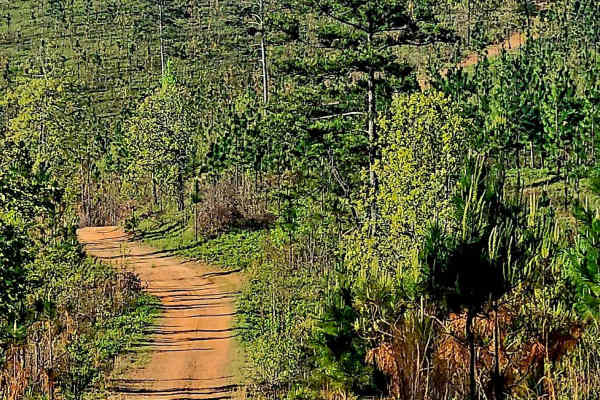
Alexander Ridge Trail
This mostly gravel with packed dirt single trail winds 4.4 miles in-and-back through Sprewell Bluff WMA across rolling ridges and foothills near the Flint River. Expect steep climbs, sharp descents, ruts, wash-outs, and loose rocky terrain. Scenic vistas reward the effort, with the landscape changin...
Learn more about Alexander Ridge Trail
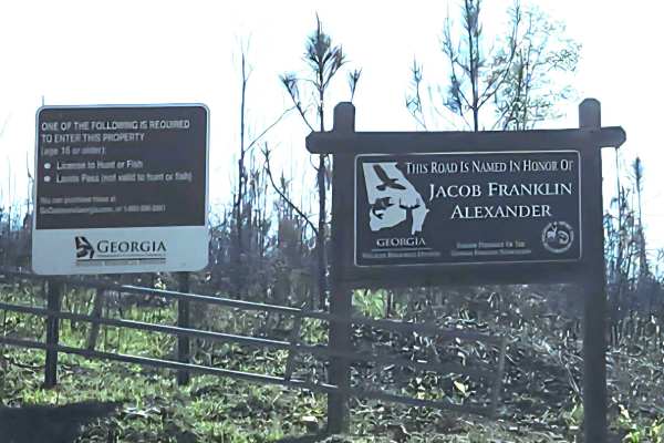
Alexander Hollow Trail
Alexander Hollow Trail in the Jacob Franklin Alexander tract of Sprewell Bluff Wildlife Management Area follows a canopy below the ridgeline in the scenic foothills. This 2.5-mile out-and-back gravel and dirt route has little rutting and washouts along the route, with some ridge grass growth along t...
Learn more about Alexander Hollow Trail
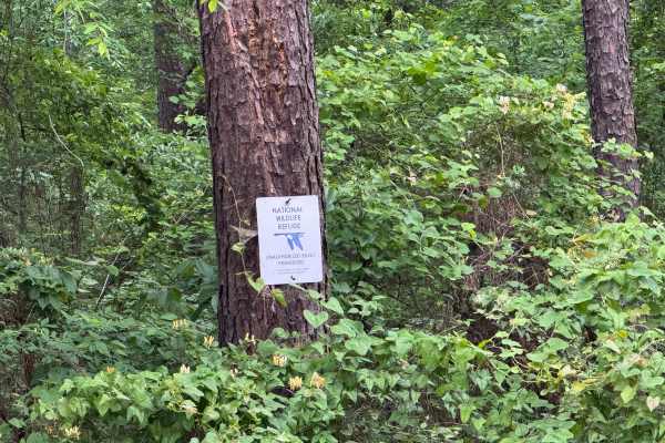
Five Points Road
Five Points Road is an east-west county road traversing through the midsection of the Piedmont NWR. It is a well-maintained, packed clay surface, two lanes wide for easy travel. There are about a dozen side roads that have been gated off and are marked for foot travel only. These side roads provide ...
Learn more about Five Points Road
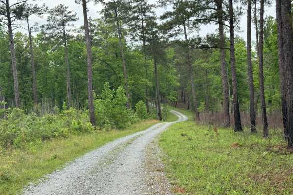
5 Points Lake East Access
5 Points Lake East Access provides an alternate access to Five Points Lake. It is an out-and-back trail with a generous gravel base, allowing for easy travel by most vehicles. As the trail winds through the forest, there are signs of recent controlled burns along the north side of the trail. Even th...
Learn more about 5 Points Lake East Access
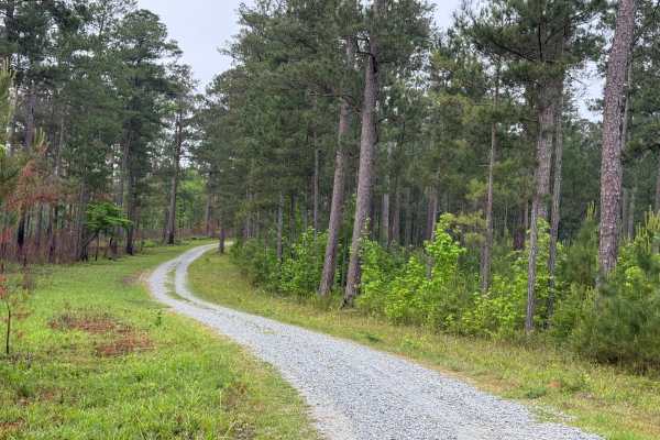
5 Points Lake North Access
5 Points Lake North Access road is a short, single-lane, wide, graveled roadway in the Piedmont NWR. It leads from Five Points Road down to Five Points Lake from the north side of the lake. It is one of two access roads to the lake, the other being the 5 Points Lake East Access. The road is well-mai...
Learn more about 5 Points Lake North Access
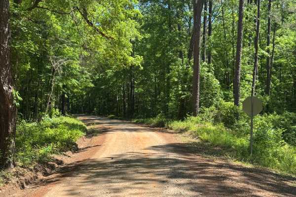
Caney Creek
Caney Creek is a generous single-lane-wide point-to-point trail mostly within the Piedmont National Wildlife Refuge, connecting Round Oak-Juliette Road to Jarrell Plantation Road. There is a shortcut to the Little Rock Wildlife Drive in the middle, but the gate is typically closed, so don't count on...
Learn more about Caney Creek
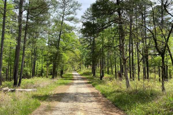
Hitchiti
Hitchiti is a well-maintained gravel trail. There's a bridge over scenic Falling Creek just after you pass through the gate. The trail then winds through an experimental demonstration area, mostly pines, where the US Forest Service evaluates various methods for sustaining and managing forests. The t...
Learn more about Hitchiti

Barron Russell Road
Barron Russell Road is a scenic drive through Piedmont National Wildlife Refuge on a well-maintained gravel road with plenty of open areas near the road to view wildlife. The road is in good shape with very few potholes. It is complete with a new fishing access dock at Pond 2A and appears to be well...
Learn more about Barron Russell Road
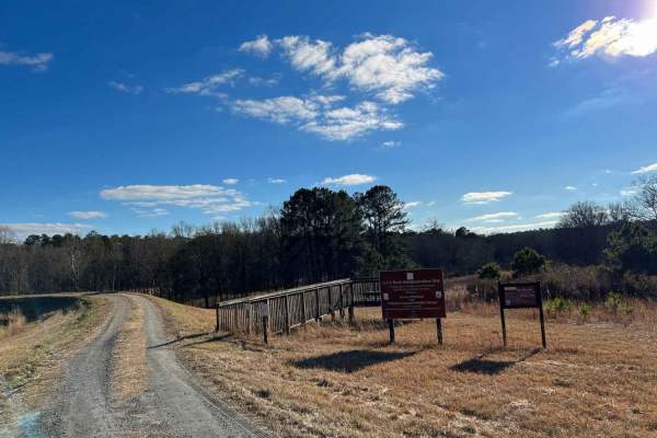
Little Rock Wildlife Drive
Scenic path for wildlife spotting directly off of the main road. This trail is mostly maintained gravel with some small inclines, which may be difficult after recent rain. This trail features some amazing hiking trails and an easily accessible fishing spot. Some hiking trails are closed during winte...
Learn more about Little Rock Wildlife Drive
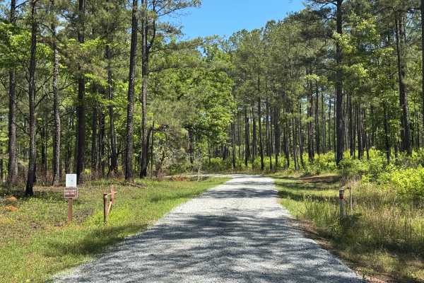
Pasture Field
Pasture Field is a single-lane point-to-point trail within the beautiful Piedmont National Wildlife Refuge, connecting Pear Orchard Road to Round Oak-Juliette Road. It winds through stands of pine and hardwoods with several well-maintained and marked water crossings. The trail is dressed with a soli...
Learn more about Pasture Field
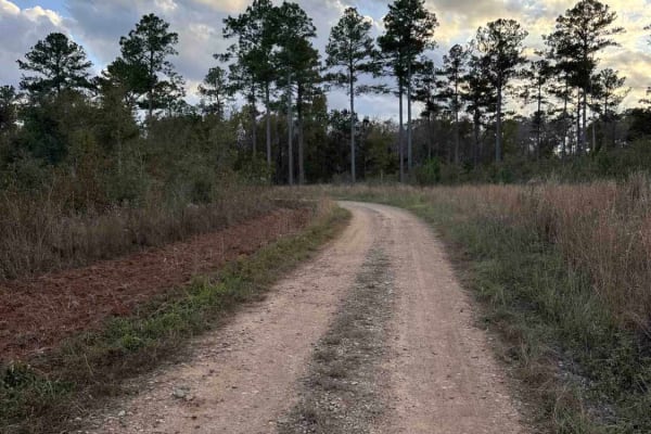
Mud Creek Road
The Mud Creek Road connects GA-62 at the north entrance and the Seven Bridge Road at the south end. The trail gives you access to the Gut Pit and several other trails in the Chickasawhatchee Wildlife Management Area. The road conditions are a mixture of packed sand, loose sand, and some deep holes t...
Learn more about Mud Creek Road
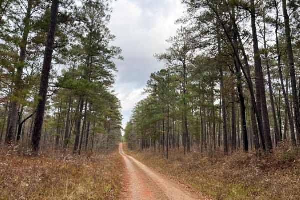
Oconee Starr
Oconee Starr is a fun and easy drive showcasing vibrant red dirt roads, southern pine forests, hardwood forests, and natural streams. This trail is split between Oconee National Forest and Piedmont National Wildlife Refuge, spanning eight miles in length. The road is mostly gravel with some sections...
Learn more about Oconee Starr
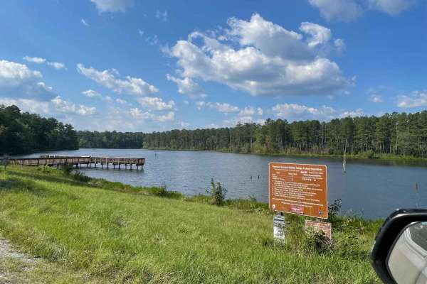
Bridge Out Trail
This scenic 9-mile trail winds through a diverse mix of terrain--ranging from sun-dappled pine ridges and shaded hardwood bottoms to gravel roads and shallow creek fords. It's an off-road adventurer's dream, offering peaceful solitude, abundant wildlife sightings, and immersive views of Piedmont Wil...
Learn more about Bridge Out Trail
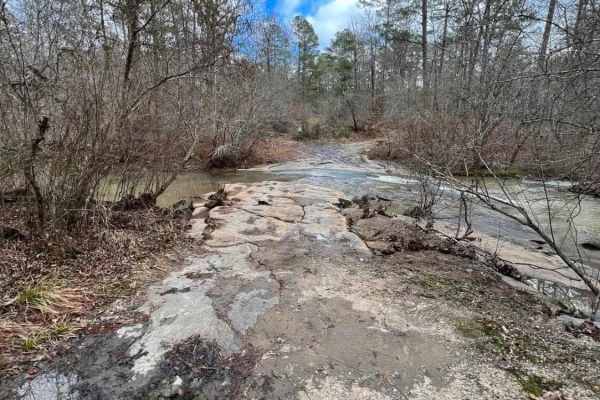
Natural Rock Crossing
This is a short trail off of Oconee Starr that is worth exploring. This trail features a beautiful water crossing, which stands true to the name of the trail. It is a mostly gravel road, and the water crossing can become high after periods of rain. There are a handful of hiking trails only accessibl...
Learn more about Natural Rock Crossing
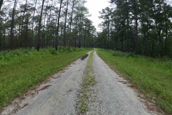
West Vaco Road
This straightforward gravel trail winds through the heart of the Piedmont National Wildlife Refuge, offering travelers a chance to experience the landscape in its natural state. The route showcases the region’s characteristic terrain, consisting mainly of gravel stretches interspersed with shallow w...
Learn more about West Vaco Road
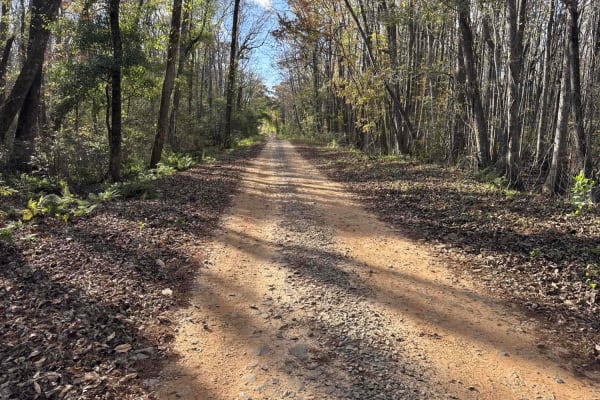
Chickasawhatchee Road
The Chickasawhatchee Road connects the north entrance at GA-62 and the west entrance at GA-37. The trail gives you access to the Campground and several other trails in the Chickasawhatchee Wildlife Management Area. The road conditions are a mixture of packed sand, loose sand and some deep holes that...
Learn more about Chickasawhatchee Road
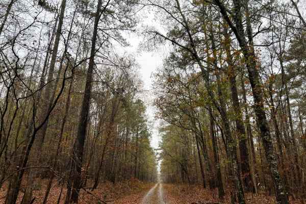
Ocmulgee Camp Loop
Ocmulgee Camp Loop is a great short trail of well-maintained gravel road with large-sized gravel chunks. It is complete with a nice dispersed camping area at the Ocmulgee multi-use trailhead for hiking, equestrian, and biking. The multi-use trail is a nice trail that follows the clean and clear Ocmu...
Learn more about Ocmulgee Camp Loop
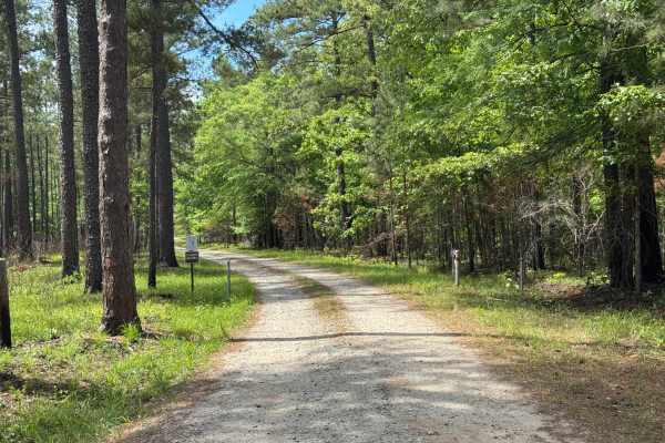
Pond 6a Road
Pond 6a Road is a short out-and-back single-lane trail within the Piedmont NWR leading to a nice fishing lake, Pond 6a. The lake is open to fishing from March 15th to September 30th each year, with other restrictions on licensing and limits. Pond 6a is a manmade lake retained by a small dike. The tr...
Learn more about Pond 6a Road
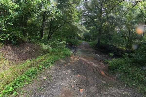
Anderson Bottoms Road
This trail is located within the Piedmont Wildlife Refuge and offers visitors a glimpse of the area’s characteristic terrain. The route consists primarily of gravel, with occasional water and mud holes that can vary in size and depth depending on recent weather patterns. Overall, the drive is relati...
Learn more about Anderson Bottoms Road
Beginner ATV trails near Montezuma, Georgia
Explore ATV-friendly trails near you. These trails are accessible for vehicles up to 50 inches wide, perfect for ATVs and smaller off-road machines.
Tatum Road Trail
This 6.3‑mile through‑trail winds through timberland, hunting areas, and to hunting camps bordering the Hannahatchee Creek WMA. Packed red clay and sandy silt create ever‑changing terrain, easily rutted after rain. Scenic vistas near the Georgia foothills offer stunning views, while use, seasonal, a...
Learn more about Tatum Road Trail
Alexander Ridge Trail
This mostly gravel with packed dirt single trail winds 4.4 miles in-and-back through Sprewell Bluff WMA across rolling ridges and foothills near the Flint River. Expect steep climbs, sharp descents, ruts, wash-outs, and loose rocky terrain. Scenic vistas reward the effort, with the landscape changin...
Learn more about Alexander Ridge Trail
Alexander Hollow Trail
Alexander Hollow Trail in the Jacob Franklin Alexander tract of Sprewell Bluff Wildlife Management Area follows a canopy below the ridgeline in the scenic foothills. This 2.5-mile out-and-back gravel and dirt route has little rutting and washouts along the route, with some ridge grass growth along t...
Learn more about Alexander Hollow Trail
Five Points Road
Five Points Road is an east-west county road traversing through the midsection of the Piedmont NWR. It is a well-maintained, packed clay surface, two lanes wide for easy travel. There are about a dozen side roads that have been gated off and are marked for foot travel only. These side roads provide ...
Learn more about Five Points Road
Beginner UTV/side-by-side trails near Montezuma, Georgia
Find UTV and side-by-side trails near you. These trails accommodate vehicles up to 60 inches wide, ideal for UTVs, side-by-sides, and wider off-road rigs.
Tatum Road Trail
This 6.3‑mile through‑trail winds through timberland, hunting areas, and to hunting camps bordering the Hannahatchee Creek WMA. Packed red clay and sandy silt create ever‑changing terrain, easily rutted after rain. Scenic vistas near the Georgia foothills offer stunning views, while use, seasonal, a...
Learn more about Tatum Road Trail
Alexander Ridge Trail
This mostly gravel with packed dirt single trail winds 4.4 miles in-and-back through Sprewell Bluff WMA across rolling ridges and foothills near the Flint River. Expect steep climbs, sharp descents, ruts, wash-outs, and loose rocky terrain. Scenic vistas reward the effort, with the landscape changin...
Learn more about Alexander Ridge Trail
Alexander Hollow Trail
Alexander Hollow Trail in the Jacob Franklin Alexander tract of Sprewell Bluff Wildlife Management Area follows a canopy below the ridgeline in the scenic foothills. This 2.5-mile out-and-back gravel and dirt route has little rutting and washouts along the route, with some ridge grass growth along t...
Learn more about Alexander Hollow Trail
Five Points Road
Five Points Road is an east-west county road traversing through the midsection of the Piedmont NWR. It is a well-maintained, packed clay surface, two lanes wide for easy travel. There are about a dozen side roads that have been gated off and are marked for foot travel only. These side roads provide ...
Learn more about Five Points Road
The onX Offroad Difference
onX Offroad combines trail photos, descriptions, difficulty ratings, width restrictions, seasonality, and more in a user-friendly interface. Available on all devices, with offline access and full compatibility with CarPlay and Android Auto. Discover what you're missing today!
Open Trail Map