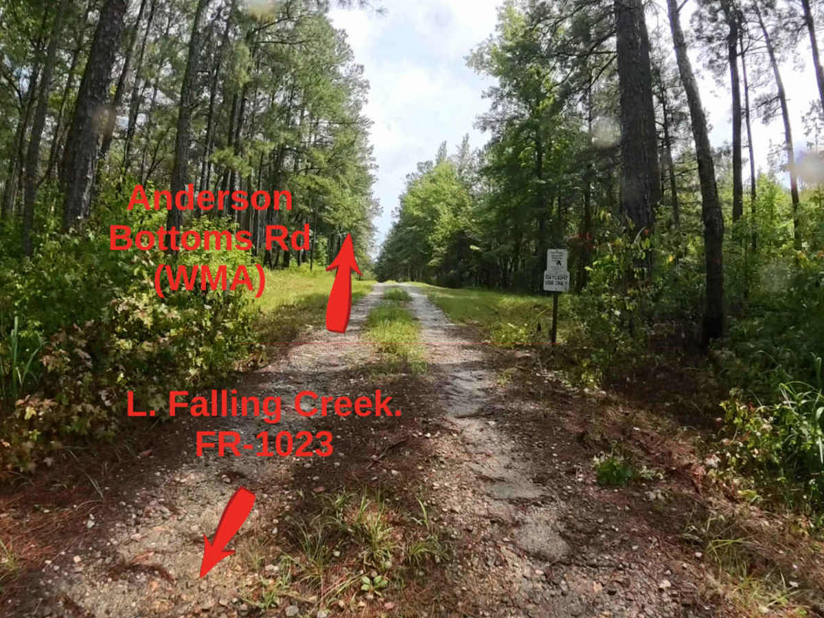
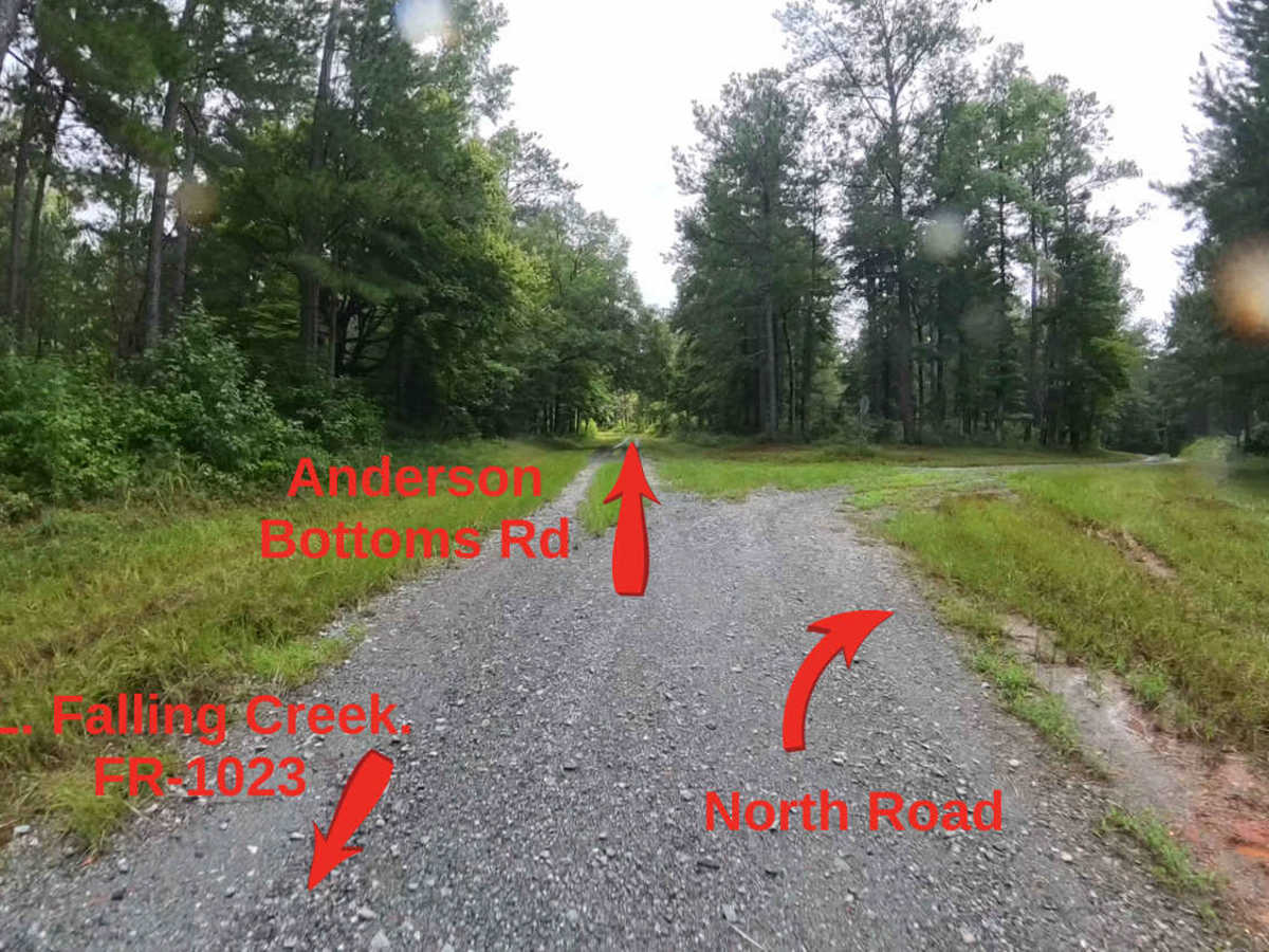
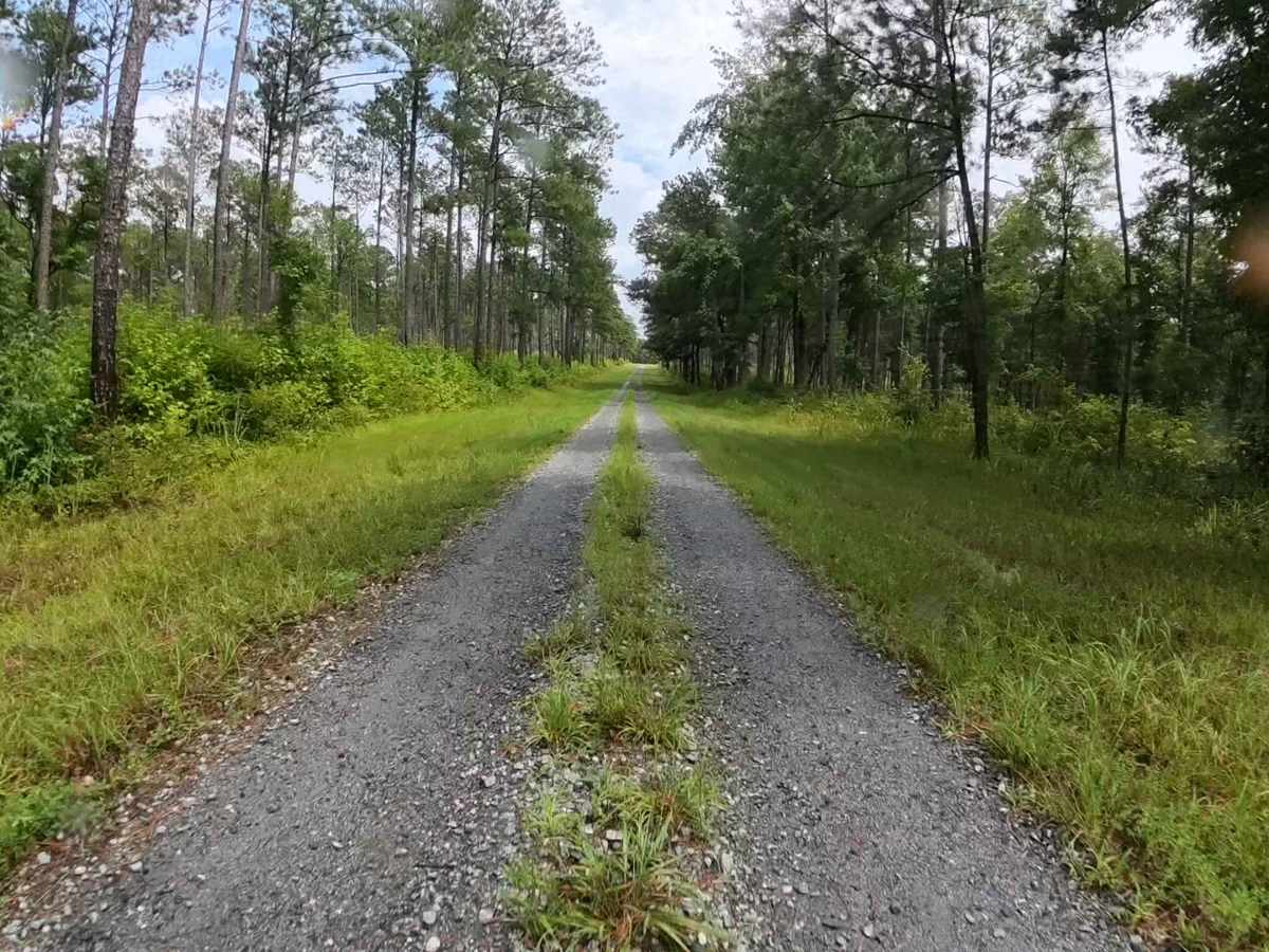
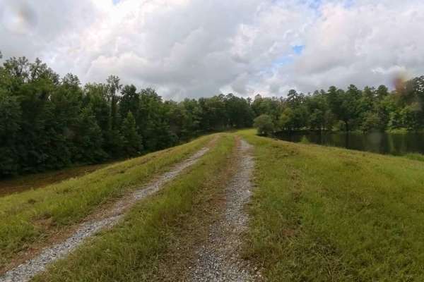
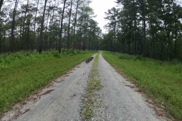
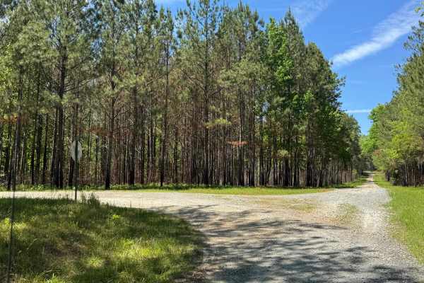
Trail Overview
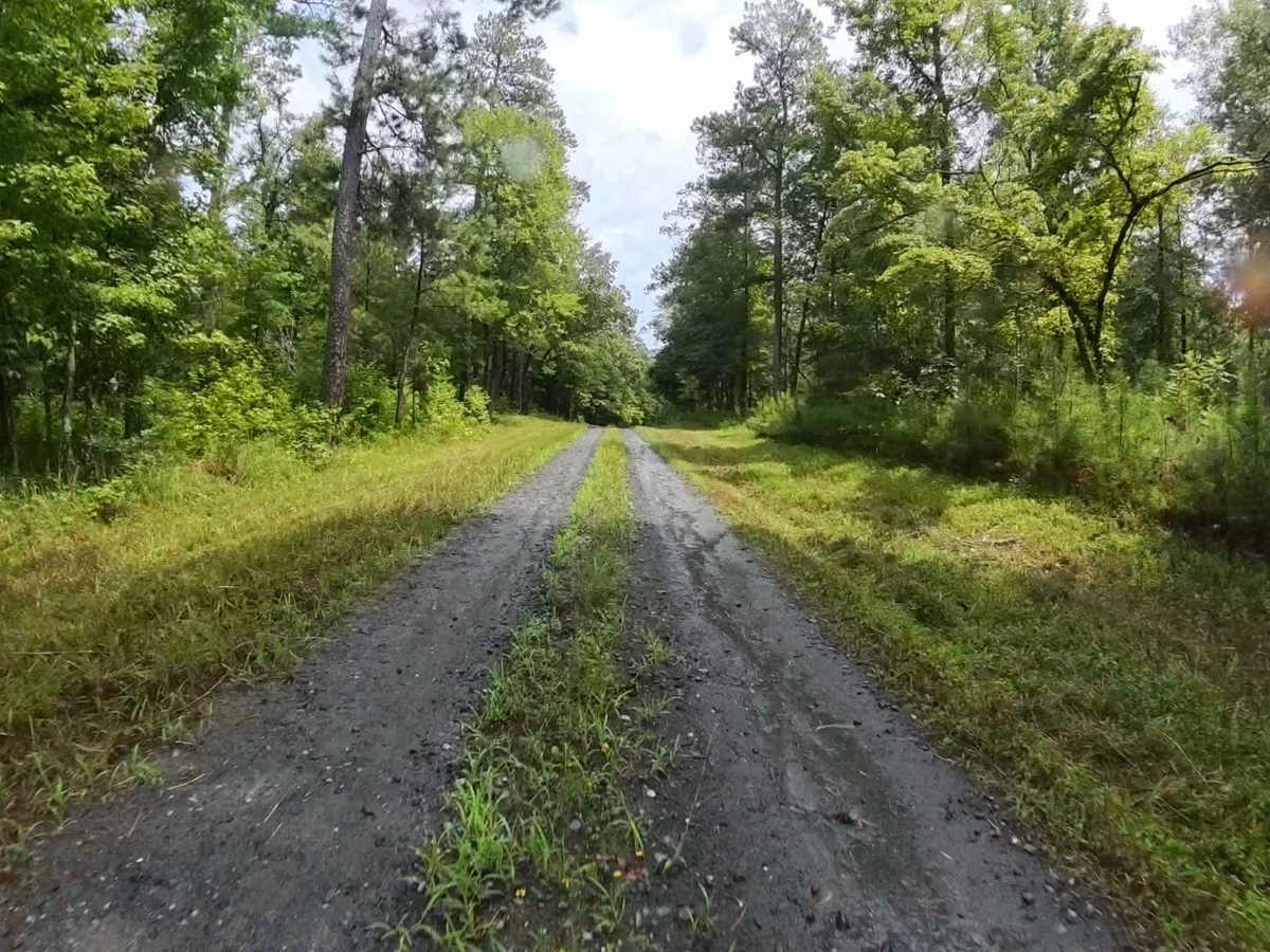
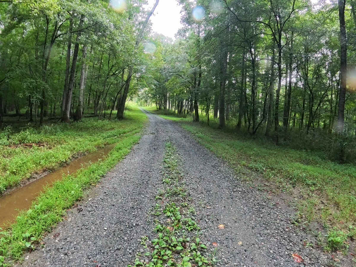
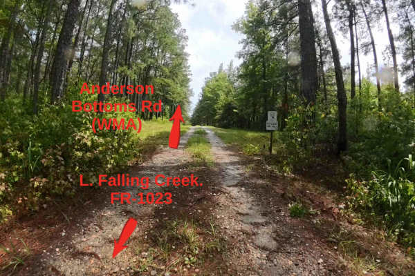
This trail is located within the Piedmont Wildlife Refuge and offers visitors a glimpse of the area’s characteristic terrain. The route consists primarily of gravel, with occasional water and mud holes that can vary in size and depth depending on recent weather patterns. Overall, the drive is relatively smooth and well-suited for drivers of most skill levels, providing a relaxed and enjoyable experience. This trail has a small water crossing with a small muddy hole that might be difficult for low vehicles to traverse. The surrounding scenery includes rolling hills and stretches of dense forest, creating a picturesque backdrop for the journey. Access to this trail is restricted to licensed, street-legal vehicles, and all visitors must obtain a valid permit before entering the refuge to ensure compliance with regulations and protection of the area’s natural resources.
Difficulty
This is an easy, mostly one-lane gravel trail with occasional small water or mud holes, the majority of which can be avoided. The route is suitable for most higher-clearance vehicles; however, there is a mud hole adjacent to the water crossing that may present a challenge for low-clearance vehicles.