
Beginner Off-Road Trails
Near Metolius, Oregon
Explore All Beginner Trails Near Metolius, Oregon
Beginner Off-Road Trails Near Metolius, Oregon
Discover the best beginner-friendly off-road trails near you. These easier, lower-rated trails are a great place to start — browse trail maps, check difficulty ratings, and find your next adventure.
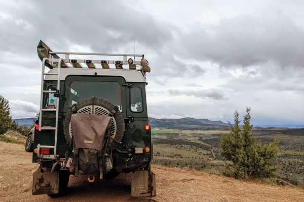
Haystack Overlook
This is a combination of gravel roads and dirt two-track accessing the Crooked River National Grasslands from nearby Madras. It is named after a spur that accesses a hill with a great overlook of nearby Haystack Reservoir. There are multiple cattle gates along this track and throughout the area. Mak...
Learn more about Haystack Overlook
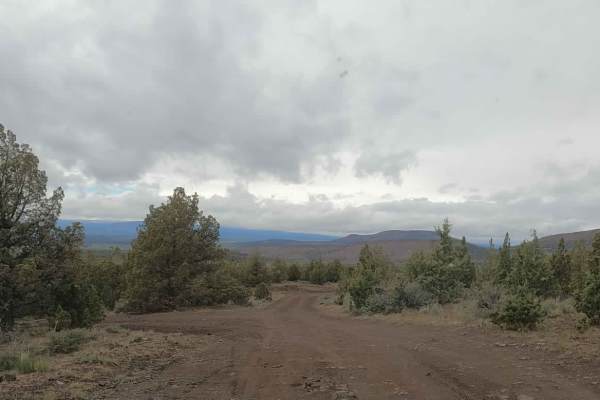
NF-5740
This is a dirt road used to access Gray Butte and the adjacent Henderson Flats OHV system from US-97. This area is popular with equestrians, hikers, mountain bikers, and the UTV and moto crowd, all using nearby trails specific to the different activities. Expect traffic. It's occasionally snowbound ...
Learn more about NF-5740
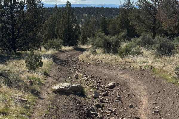
OHV Trail #10
OHV Trail #10 is an easy 6.5-mile loop through sagebrush and juniper. Expect mostly hard-packed dirt with scattered embedded rocks, low rock ledges, and one short hill climb. Open to dirt bikes and ATVs (under 50" and 800 pounds) only, this scenic trail is well suited for beginner and intermediate r...
Learn more about OHV Trail #10
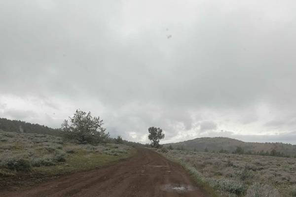
Gray Butte - NF-5700
This is an unmaintained dirt road accessing Gray Butte Trailhead and other nearby trails in the Crooked River National Grasslands just north of Gray Butte. There are numerous dispersed camping spots along this road often used by climbers visiting nearby Smith Rocks. This road climbs up over 4,000 fe...
Learn more about Gray Butte - NF-5700
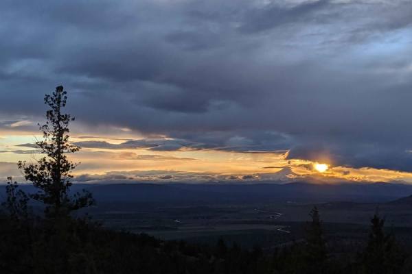
NF-5730
Easy, unmaintained dirt road accessing Gray Butte Trailhead and other nearby trails in the Crooked River National Grasslands just West of Gray Butte. There are numerous dispersed camping spots along this road often used by climbers visiting nearby Smith Rocks. This road climbs up over 4000', so expe...
Learn more about NF-5730
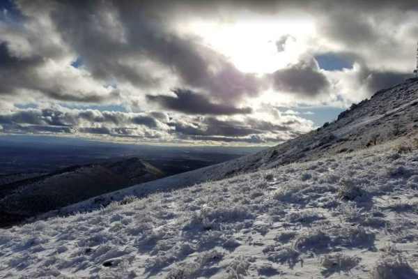
Gray Butte Summit
Steep, rocky road accessing the communications towers on Gray Butte. This road starts at Gray Butte Saddle at roughly 3700 feet and climbs to almost 5100 feet at the summit. The gate at the lower end is occasionally locked. There are dispersed camping spots on this road near the Gray Butte Saddle Tr...
Learn more about Gray Butte Summit
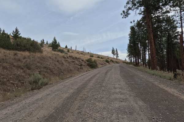
Montgomery - FS 6400
FS 6400, signed Montgomery Road, is a wide, graded two-lane gravel road that climbs and winds along the canyon rim above an arm of Lake Billy Chinook and the Metolius River. The route offers sweeping views of the reservoir and surrounding high desert hillsides before dropping back into ponderosa pin...
Learn more about Montgomery - FS 6400
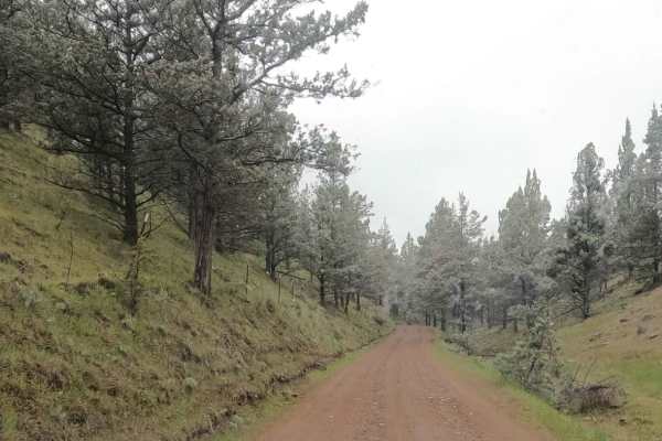
Skull Hollow - NF-5710
Gravel Forest Service Road climbing out of the popular Skull Hollow campground up onto the shoulder of Gray Butte in the Crooked River National Grasslands. This road has multiple roadside pullouts used for dispersed camping by climbers visiting nearby Smith Rock State Park. This road climbs up above...
Learn more about Skull Hollow - NF-5710

NF-200
This is an easy gravel forest logging road connecting NF 1170 to Squaw Ridge (NF-1190). It is primarily used when accessing the small portion of the Deschutes National Forest north of Prairie Creek. This road is tight with manzanita overgrowth. Pinstriping is likely to occur, so if you value your pa...
Learn more about NF-200
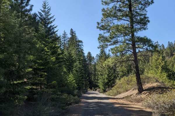
Squawback Ridge - NF119000
This gravel Forest Service road winds through a landlocked section of the Deschutes National Forest above the Deschutes River. This section is accessible from the South and is surrounded by the nearby Jefferson Wilderness and Warm Springs Reservation. This road varies in elevation from 3500'-4000' i...
Learn more about Squawback Ridge - NF119000
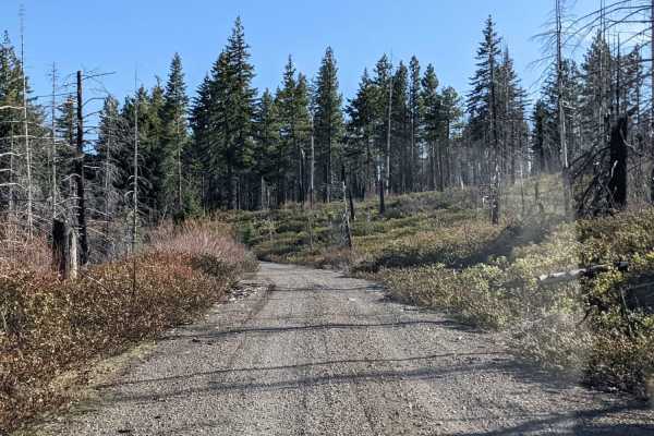
NF-115
Gravel Forest Service road winding through a landlocked section of the Deschutes National Forest above the Deschutes River. This section is accessible from the South and is surrounded by the nearby Jefferson Wilderness and Warm Springs Reservation. This road varies in elevation from 3500'-4000' in e...
Learn more about NF-115
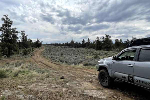
Dirt Road Dash
Get ready for a rugged adventure on the Desert Ridge Trail, located on DNR land. This trail is not for the faint of heart, with its potholed, rocky, and dirt road that'll put your vehicle (and your nerves) to the test. It's a little bumpy, but the desert vibes and stunning views make it worth it. As...
Learn more about Dirt Road Dash
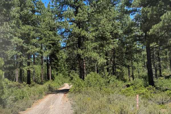
Alder Spring - FS 1149
This is a dirt trail that climbs up to the area near the old Alder Spring Lookout. The trail is narrow, about one vehicle wide, with limited places to pass, and is tight with overgrown vegetation and trees. There are a lot of rock garden sections that are bumpy, some humps/whoops, and then some boul...
Learn more about Alder Spring - FS 1149
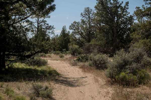
74
Trail 74 is a 1.6-mile route beginning on a flat mesa top with easy dirt terrain. The trail crosses Trail 73 and a few roads before a semi-steep descent off the mesa near the intersection with Trail 73. It features whoops and mostly smooth dirt with scattered loose rocks. The landscape includes juni...
Learn more about 74
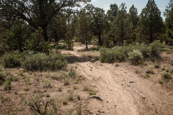
73
Trail 73 is an easy 1.7-mile single-track connector between Trails 75 and 72. The trail features mostly dirt terrain with scattered embedded and loose rocks, along with lots of whoops. The profile is very gradual with small hills up and down. Trail 73 crosses Trail 74 about halfway through.
Learn more about 73
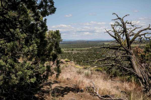
75
Trail 75 is a 1.6-mile loop starting from the intersection with Trail 74, running along a flat mesa top with expansive valley views, especially as it rides along the mesa's edge. The trail includes tight sections weaving between trees and areas with more embedded rock, providing a mix of flow and te...
Learn more about 75
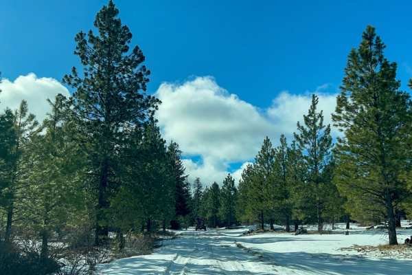
Prairie Farm Creek
Prairie Farm Creek is an easy 8-mile gravel road route ideal for cruisers looking to explore the eastern slopes of Oregon's Cascade Range. Given its stable gravel surface and a technical rating of 2, standard high-clearance four-wheel-drive vehicles, SUVs, and some crossovers. The route winds throug...
Learn more about Prairie Farm Creek
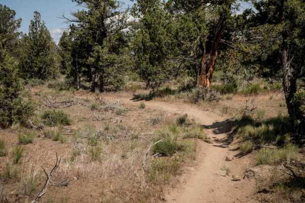
72
Trail 72 is an almost 3-mile-long dirt bike-only route that runs between Trails 71 and 74. It features tight curves and requires precise maneuvering through trees, with narrow gaps that might catch your handlebars if not careful. The trail is mostly smooth dirt with small jagged rocks scattered thro...
Learn more about 72
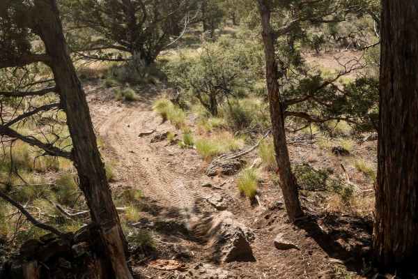
91
Trail 91 winds tightly through junipers along the flat top of a mesa, offering a fast and flowy ride with plenty of tight maneuvers. The trail surface is mostly smooth dirt, with occasional embedded rocks adding some light technical elements. It's a fun, engaging single track that keeps riders activ...
Learn more about 91
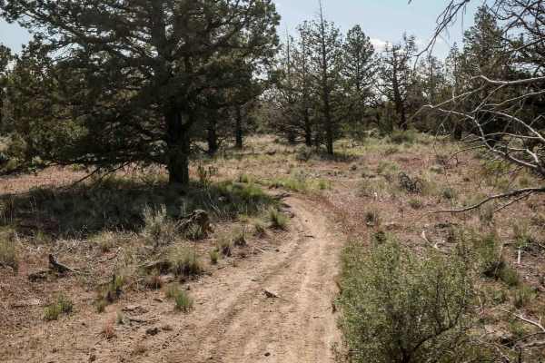
71
Trail 71 is a 4.5-mile narrow singletrack winding through the eastern half of the Buckhorn trail system. It traverses low alpine and high desert terrain dominated by sagebrush and junipers. Riders should be prepared for scraggly tree branches extending into the trail, scattered loose and embedded ro...
Learn more about 71
Beginner ATV trails near Metolius, Oregon
Explore ATV-friendly trails near you. These trails are accessible for vehicles up to 50 inches wide, perfect for ATVs and smaller off-road machines.
OHV Trail #10
OHV Trail #10 is an easy 6.5-mile loop through sagebrush and juniper. Expect mostly hard-packed dirt with scattered embedded rocks, low rock ledges, and one short hill climb. Open to dirt bikes and ATVs (under 50" and 800 pounds) only, this scenic trail is well suited for beginner and intermediate r...
Learn more about OHV Trail #10
Montgomery - FS 6400
FS 6400, signed Montgomery Road, is a wide, graded two-lane gravel road that climbs and winds along the canyon rim above an arm of Lake Billy Chinook and the Metolius River. The route offers sweeping views of the reservoir and surrounding high desert hillsides before dropping back into ponderosa pin...
Learn more about Montgomery - FS 6400
NF-200
This is an easy gravel forest logging road connecting NF 1170 to Squaw Ridge (NF-1190). It is primarily used when accessing the small portion of the Deschutes National Forest north of Prairie Creek. This road is tight with manzanita overgrowth. Pinstriping is likely to occur, so if you value your pa...
Learn more about NF-200
Squawback Ridge - NF119000
This gravel Forest Service road winds through a landlocked section of the Deschutes National Forest above the Deschutes River. This section is accessible from the South and is surrounded by the nearby Jefferson Wilderness and Warm Springs Reservation. This road varies in elevation from 3500'-4000' i...
Learn more about Squawback Ridge - NF119000
Beginner UTV/side-by-side trails near Metolius, Oregon
Find UTV and side-by-side trails near you. These trails accommodate vehicles up to 60 inches wide, ideal for UTVs, side-by-sides, and wider off-road rigs.
Montgomery - FS 6400
FS 6400, signed Montgomery Road, is a wide, graded two-lane gravel road that climbs and winds along the canyon rim above an arm of Lake Billy Chinook and the Metolius River. The route offers sweeping views of the reservoir and surrounding high desert hillsides before dropping back into ponderosa pin...
Learn more about Montgomery - FS 6400
NF-200
This is an easy gravel forest logging road connecting NF 1170 to Squaw Ridge (NF-1190). It is primarily used when accessing the small portion of the Deschutes National Forest north of Prairie Creek. This road is tight with manzanita overgrowth. Pinstriping is likely to occur, so if you value your pa...
Learn more about NF-200
Squawback Ridge - NF119000
This gravel Forest Service road winds through a landlocked section of the Deschutes National Forest above the Deschutes River. This section is accessible from the South and is surrounded by the nearby Jefferson Wilderness and Warm Springs Reservation. This road varies in elevation from 3500'-4000' i...
Learn more about Squawback Ridge - NF119000
NF-115
Gravel Forest Service road winding through a landlocked section of the Deschutes National Forest above the Deschutes River. This section is accessible from the South and is surrounded by the nearby Jefferson Wilderness and Warm Springs Reservation. This road varies in elevation from 3500'-4000' in e...
Learn more about NF-115
The onX Offroad Difference
onX Offroad combines trail photos, descriptions, difficulty ratings, width restrictions, seasonality, and more in a user-friendly interface. Available on all devices, with offline access and full compatibility with CarPlay and Android Auto. Discover what you're missing today!
Open Trail Map