Trail Overview
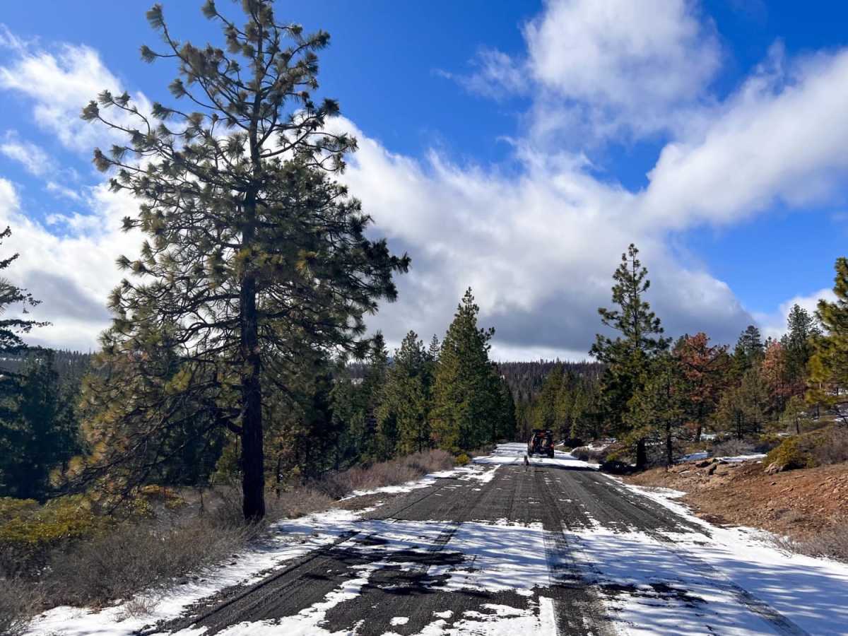
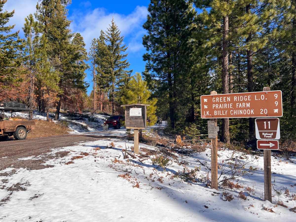
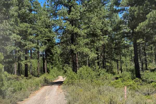
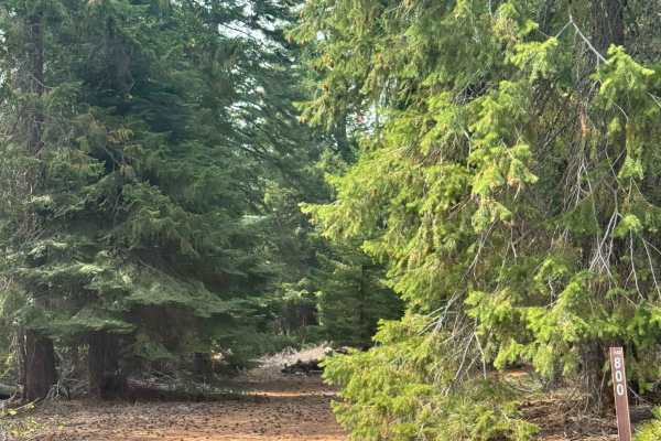
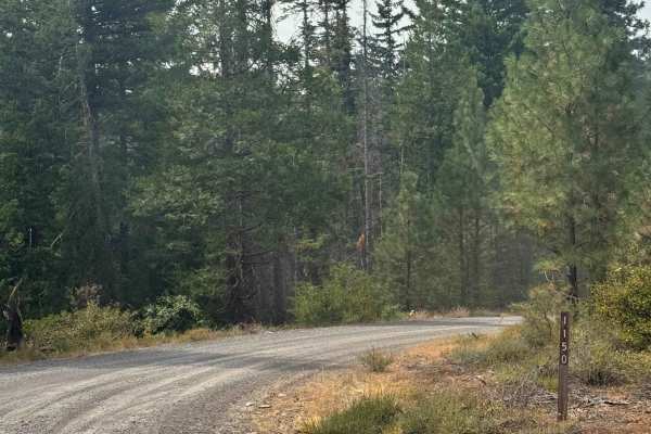
Prairie Farm Creek is an easy 8-mile gravel road route ideal for cruisers looking to explore the eastern slopes of Oregon's Cascade Range. Given its stable gravel surface and a technical rating of 2, standard high-clearance four-wheel-drive vehicles, SUVs, and some crossovers. The route winds through the ponderosa pine forests near Green Ridge, offering an accessible gateway to the remote backcountry of the Deschutes National Forest.
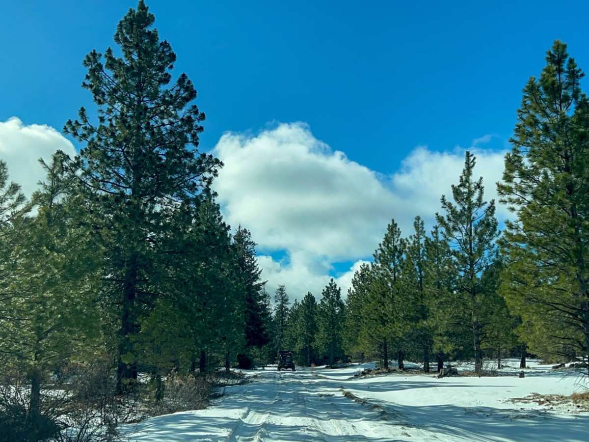
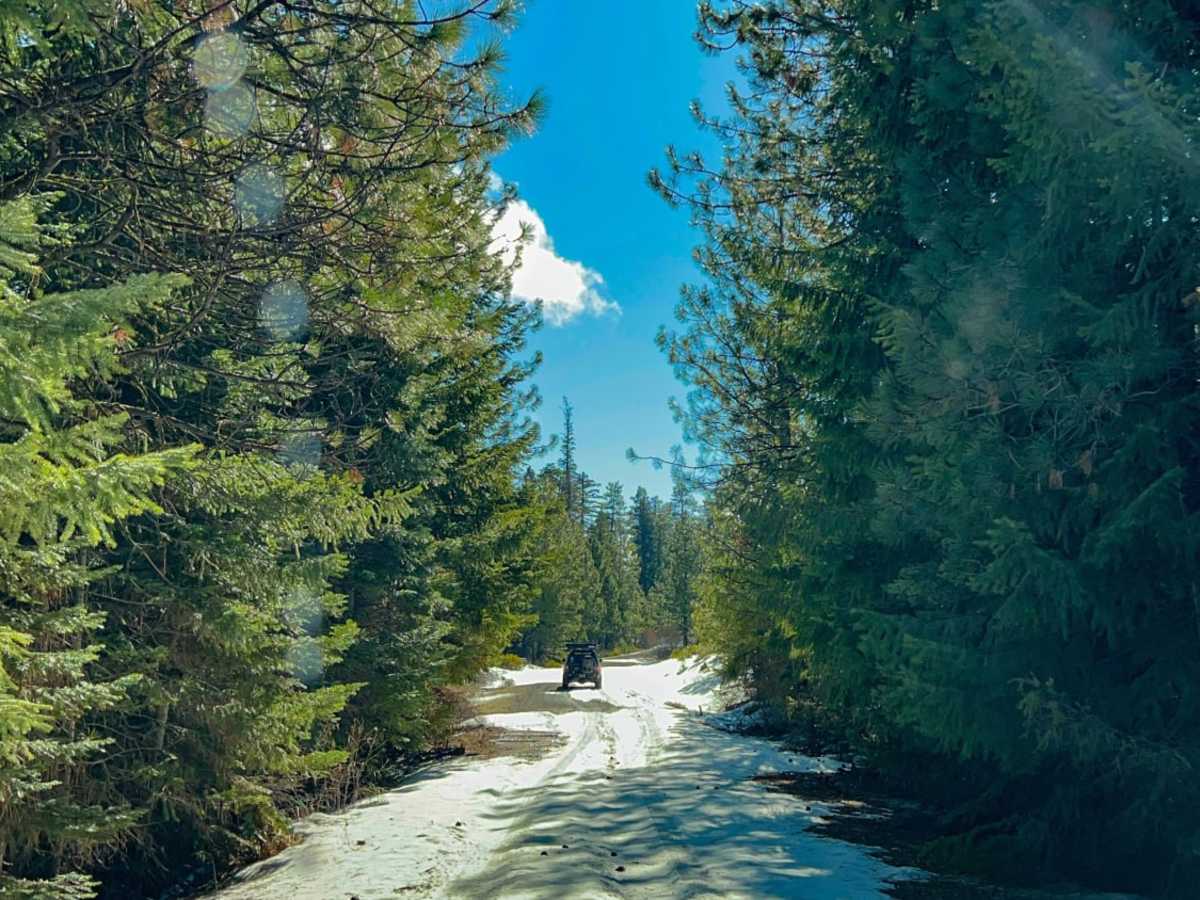
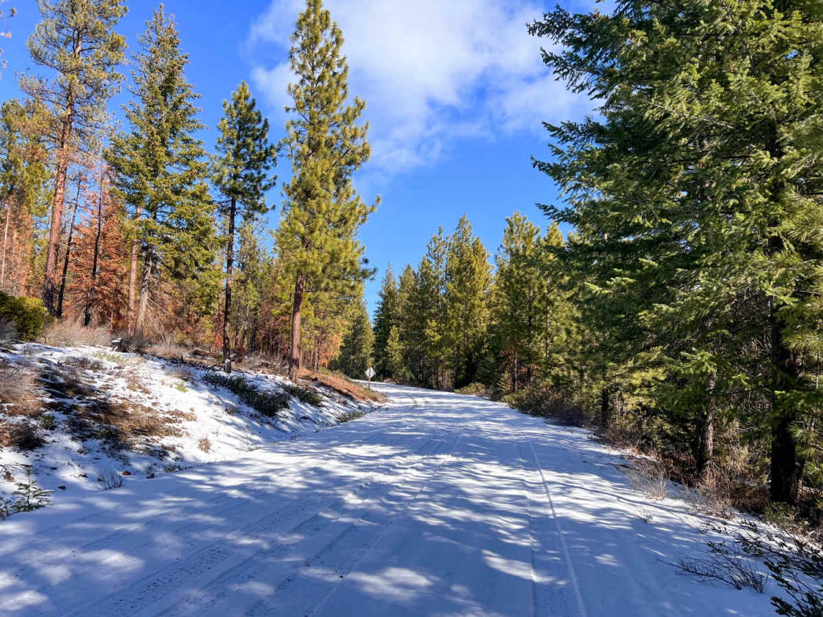
The trail serves as an excellent connector to various dispersed camping spots and a network of intersecting spur roads that allow for extended offroad exploration. Heading west from the main road leads to the crest of Green Ridge, where travelers are rewarded with dramatic, sweeping vistas of prominent peaks like Mount Jefferson and Mount Washington. While the route remains open year-round, winter and early spring bring heavy snow accumulation that transforms this easy gravel drive into a highly challenging, snow-covered track requiring recovery gear, low tire pressures, and winter-driving experience. Summer and late fall present the best driving conditions.