Trail Overview
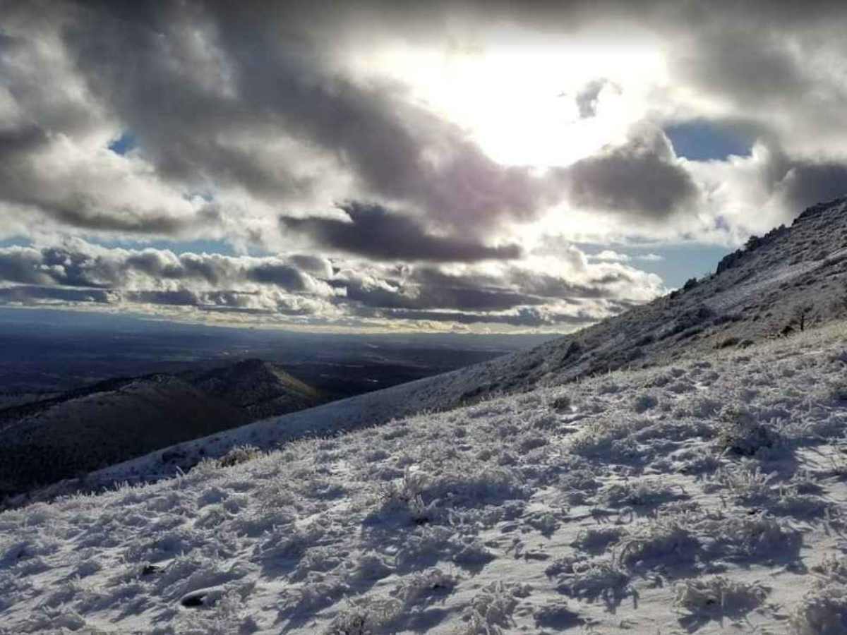
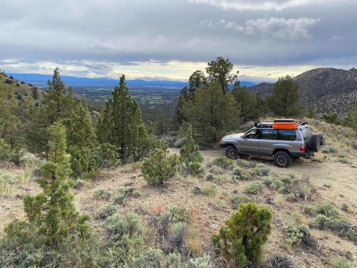
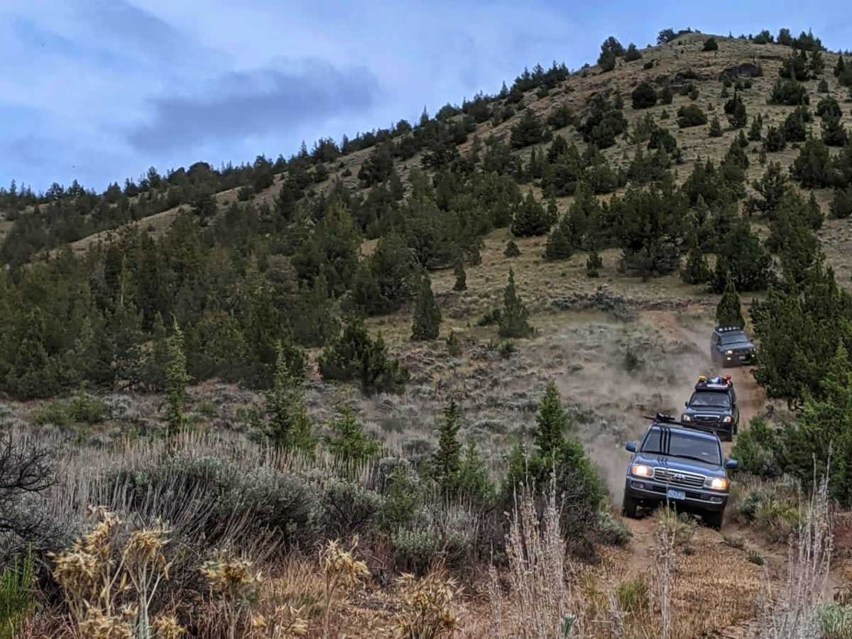
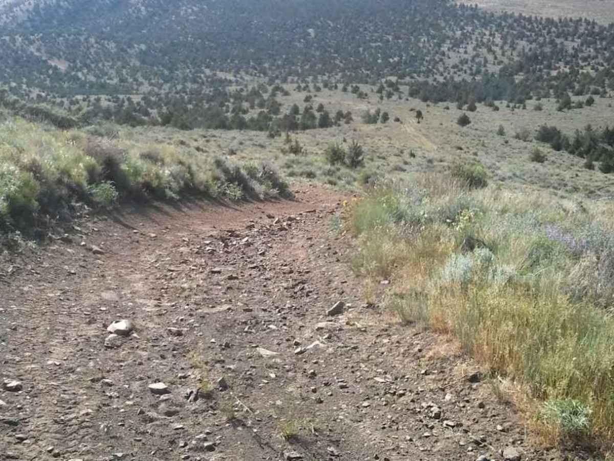
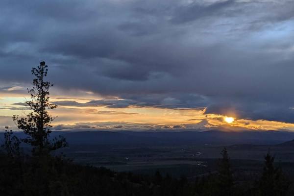
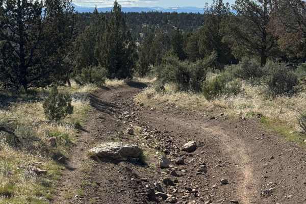
Gray Butte Summit is a steep climb perfect for offroaders seeking panoramic views of the Cascade Range and the surrounding Crooked River National Grassland. Starting near the Gray Butte Saddle Trailhead at approximately 3,700 feet, this 1.8-mile trail gains over 1,400 feet as it winds up toward the 5,110-foot summit. The trail consists of an unmaintained rocky road, carrying a technical rating of 3, making it accessible to high-clearance four-wheel-drive vehicles. Along the ascent, drivers will navigate moderate rocky inclines with an average gradient of over 8 degrees and maximum pitches reaching up to 14 degrees.
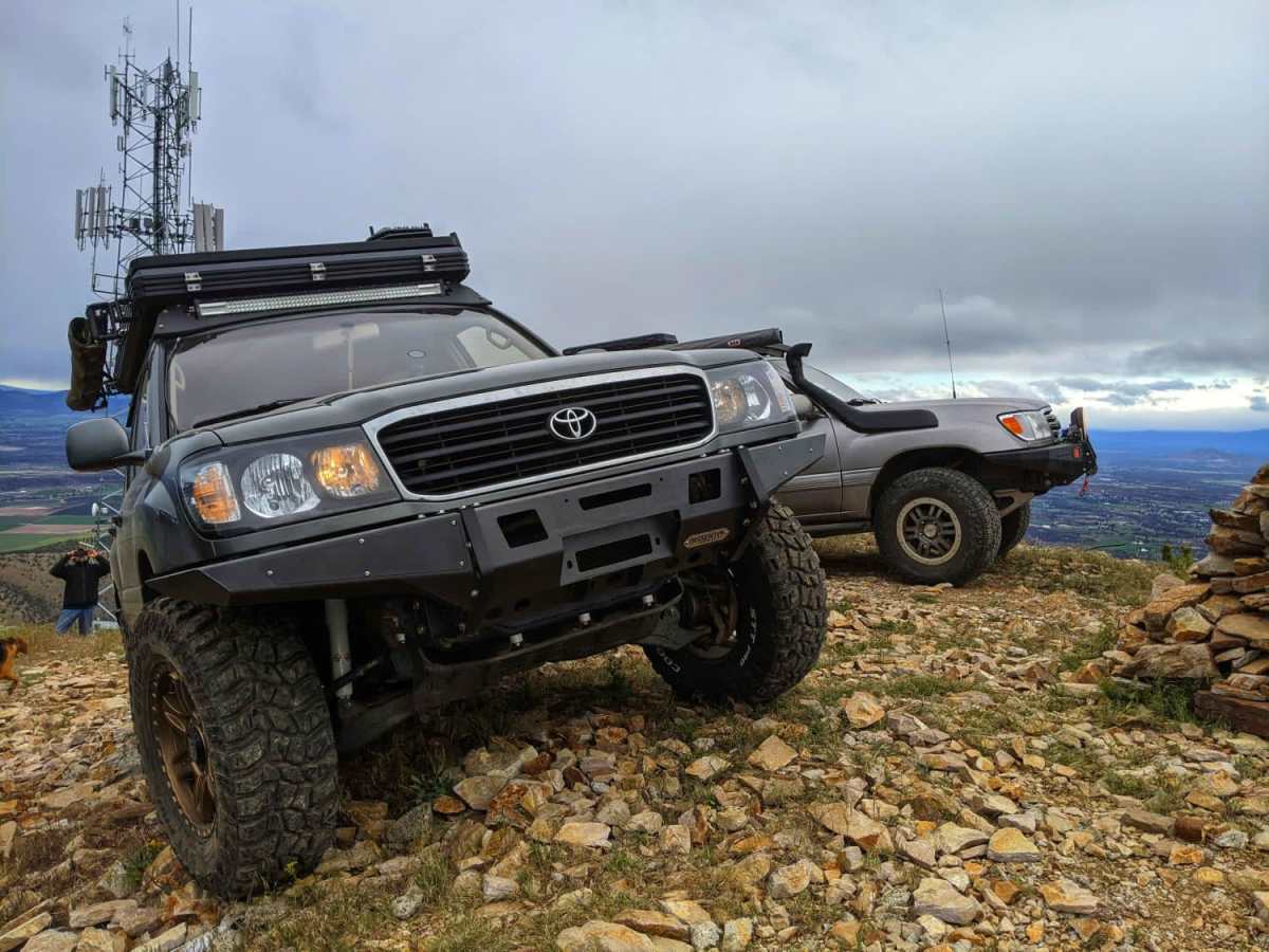
The route terminates near the communication towers at the summit, where visitors are treated to sweeping vistas of Smith Rock State Park and the volcanic peaks beyond. Dispersed camping spots are available near the base trailhead, offering a convenient staging area for those looking to explore the broader trail system. Offroaders should note that the gate at the lower end of the road is occasionally locked, particularly during seasonal closures or high-fire-danger periods. Checking local Crooked River National Grassland conditions is recommended before embarking on this climb.
Access Description
The gate at the lower end of the road near the Gray Butte Saddle Trailhead is occasionally locked due to seasonal closures or forest management directives. Dispersed camping is permitted at designated sites near the trailhead, subject to Crooked River National Grassland regulations and campfire restrictions.