
Beginner Off-Road Trails
Near Massac, Kentucky
Explore All Beginner Trails Near Massac, Kentucky
Beginner Off-Road Trails Near Massac, Kentucky
Discover the best beginner-friendly off-road trails near you. These easier, lower-rated trails are a great place to start — browse trail maps, check difficulty ratings, and find your next adventure.
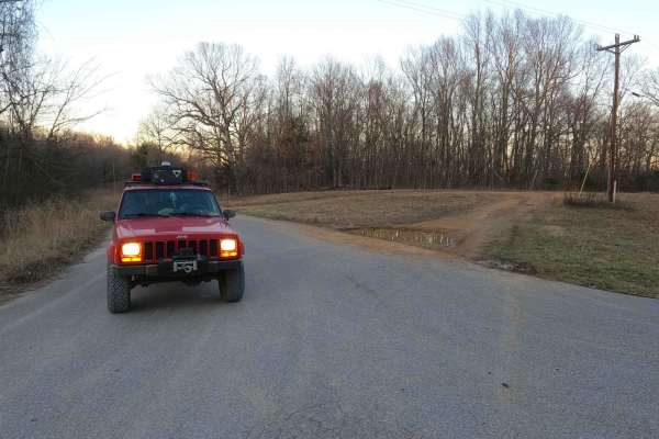
Nickell Branch - FS 102
Nickell Branch FS 102 is a gravel forestry road through the northwest corner of the Kentucky section, Lake Barkley side, of the Land Between the Lakes National Recreation Area. The road is graceful and a perfect place to visit if coming into LBL from the northern entrance and seeking a quick and rel...
Learn more about Nickell Branch - FS 102
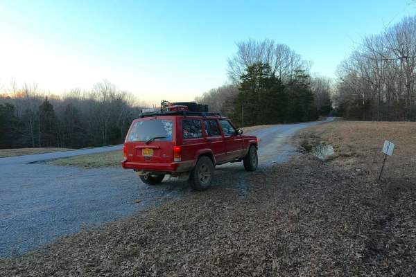
Benberry Cemetery Road - FS 301
Benberry Cemetery Road FS 301 is a gravel Forest Service road through the northwest corner of the Kentucky section, Lake Barkley side, of the Land Between the Lakes National Recreation Area. The Benberry Cemetery Road (also known as Mount Pleasant Cemetery) features a generally easy ride over the ri...
Learn more about Benberry Cemetery Road - FS 301
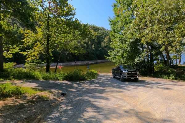
Twin Lakes South - FS 105
Twin Lakes South FS 105 is a gravel forest service road in the northwest corner of the Kentucky section, Kentucky Lake side, of the Land Between the Lakes National Recreation Area. It features a track from one Kentucky Lake cove-side campsite to another cove-side campsite only separated by a single ...
Learn more about Twin Lakes South - FS 105
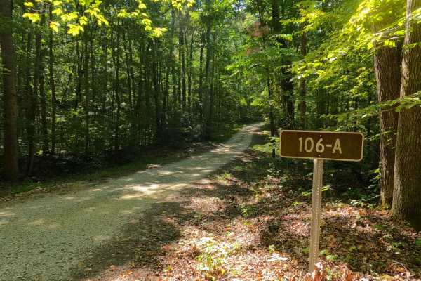
105/106 Connector - FS 106A
105/106 Connector - FS 106A is a gravel forest service road in the northwest corner of the Kentucky section, Kentucky Lake side, of the Land Between the Lakes National Recreation Area. This is one of the shortest examples of a Forest Road within LBL that connects two more prominent roads in the area...
Learn more about 105/106 Connector - FS 106A
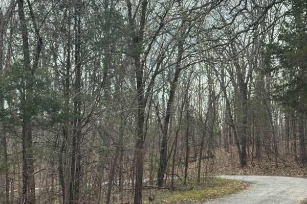
Millstone Bluffs Trailhead
Millstone Bluffs Trailhead is accessed by a maintained gravel road within Shawnee National Forest that leads to a large parking area for hikers. The route is easy to follow and provides straightforward access to one of the area’s popular trail systems. At the end of the road, visitors will find a sp...
Learn more about Millstone Bluffs Trailhead
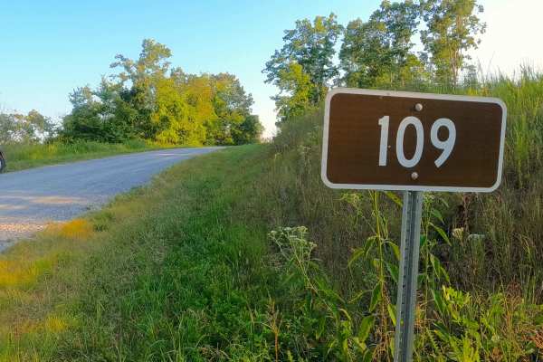
Willow Creek - FS 109
Willow Creek (FS 109) is a semi-maintained gravel forest service road located in the northwest corner, Lake Barkley side, in the Kentucky section of Land Between the Lakes National Recreation Area. This route serves as a logistical alternative to the paved FS 108, as it connects to the Woodland Trac...
Learn more about Willow Creek - FS 109
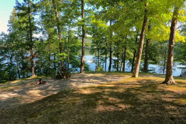
Yale Road - FS 115
Yale Road - FS 115, or Birmingham Ferry Road, is a half-paved and half-gravel forest service road through the center-west Kentucky section, Kentucky Lake side, of the Land Between the Lakes National Recreation Area. Its primary use is campsite access, since there are two established campsites along ...
Learn more about Yale Road - FS 115
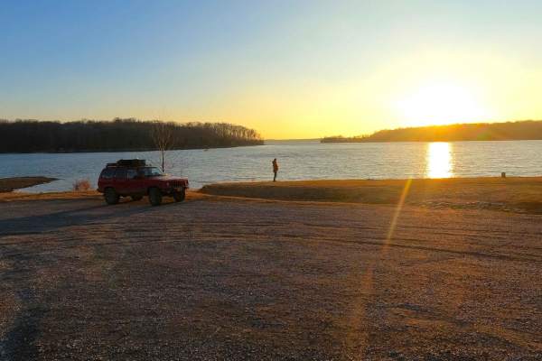
Pisgah Point Spur - FS 111A
Pisgah Point Spur FS 111A is a gravel forestry route through the northwest corner of the northern Kentucky section, Kentucky Lake side, of the Land Between the Lakes National Recreation Area. The road consists of rolling hills traversing from the ridge top that the Woodland Trace rests on down into ...
Learn more about Pisgah Point Spur - FS 111A
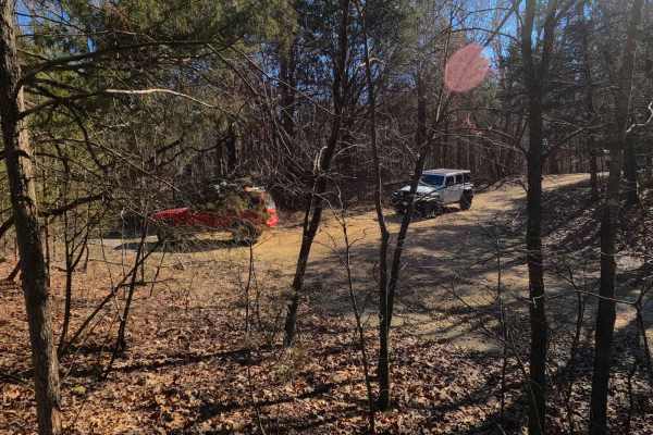
Smith Cemetery Spur Road FS 120A/120B
Smith Cemetery Spur Road FS 120A/120B is a gravel spur Forest Service road at the end of the FS 120. It is located in the north Kentucky section, Lake Barkley side, of the Land Between the Lakes National Recreation Area. Despite there being two roads, via unique spur IDs, they are truly one continuo...
Learn more about Smith Cemetery Spur Road FS 120A/120B
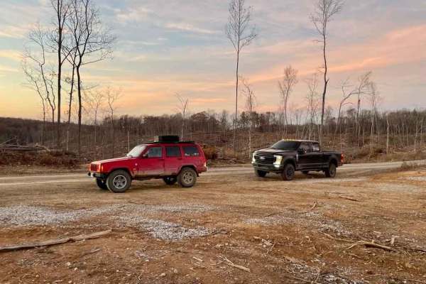
Tornado Valley FSR 112
The Tornado Valley FSR 112 is a gravel road that parallels a mile inland from the north shoreline of Land Between The Lakes National Recreation Area. It consists of a few 9-10% grade hills, a low water bridge, water collection spots, mild rutting, and washboarding. In the pathway of the tragic Decem...
Learn more about Tornado Valley FSR 112
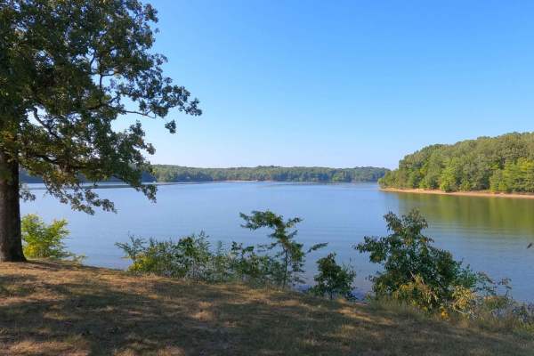
Smith Bay Road - FS 116
Smith Bay Road - FS 116, is a gravel forest service road through the center-west Kentucky section, Kentucky Lake side, of the Land Between the Lakes National Recreation Area. The road geographically features a valley-to-valley layout, going over one small ridge separating the paved Old Ferry Road We...
Learn more about Smith Bay Road - FS 116
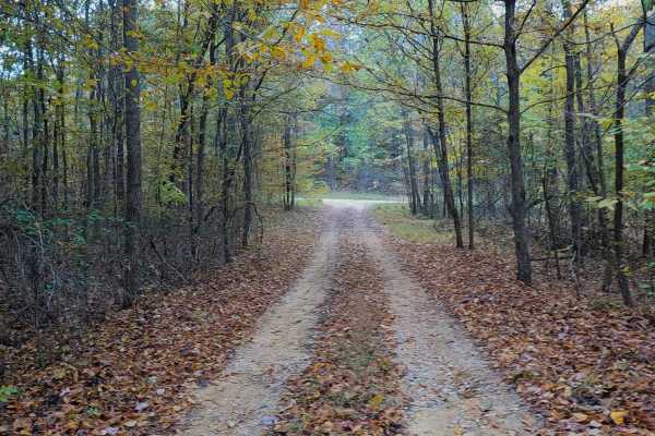
Collie Cemetery - FS 307
Collie Cemetery FS 307 is a gravel forest service road through the center-west Kentucky section, Kentucky Lake side, of the Land Between the Lakes National Recreation Area. The road provides access to the Rueben Collie cemetery and ends according to the MVUM at the peak ridge top just west of the tu...
Learn more about Collie Cemetery - FS 307

Taylor Ridge Road
Taylor Ridge Road is a gravel route within Shawnee National Forest that leads to a designated trailhead parking area for nearby hiking trails. The road is generally easy to navigate, with occasional ruts that may form after heavy rainfall. At the start of the route, signage indicates a dead end, whi...
Learn more about Taylor Ridge Road
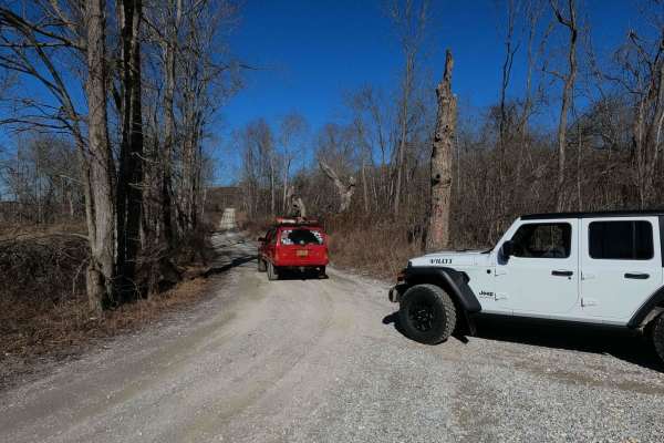
Smith Cemetery Road - FS 120
Smith Cemetery Road FS 120 is a gravel forestry road through the northern Kentucky section, Lake Barkley side, of the Land Between the Lakes National Recreation Area. The Smith Cemetery is a gravel road coming off the Tornado Valley/Brandon Chapel Road FS 112. It begins in the valley bottoms leading...
Learn more about Smith Cemetery Road - FS 120
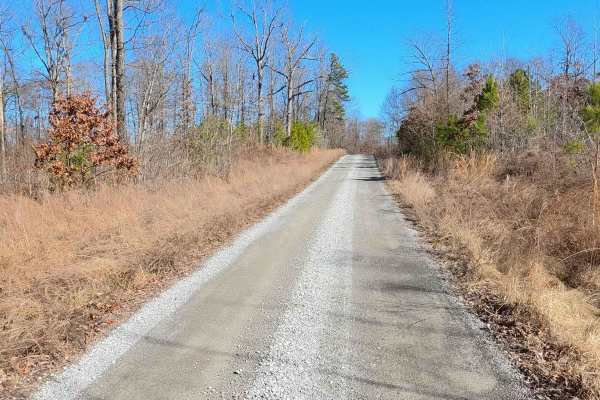
Roger's Road - FS 113
Roger's Road - FS 113 is a gravel forest service road through the inland center-north Kentucky section of the Land Between the Lakes National Recreation Area. This road features small rolling hills and beautiful tree lines, with minimal water collection spots on the road surface and occasional mild ...
Learn more about Roger's Road - FS 113
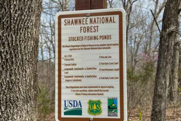
Dutchman Lake Trail
Dutchman Lake Trail is a short gravel road within Shawnee National Forest that leads to a quiet access point at Dutchman Lake. The route is easy to navigate with minimal obstacles, though ruts may develop after periods of heavy rainfall. The boat access area consists of a gravel and grass launch on ...
Learn more about Dutchman Lake Trail
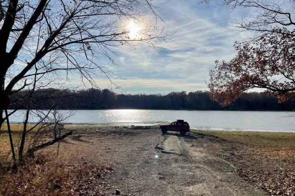
Davenport Bay FSR 127B
The Davenport Bay FSR 127B is a degrading old back top road that leads to the water's edge in Land Between The Lakes National Recreation Area. The road at one point must have been a decent blacktop road leading to the water for boat launching but has degraded heavily to give a unique offroading expe...
Learn more about Davenport Bay FSR 127B
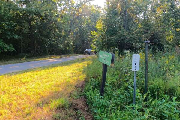
Woodson Chapel Road - FS 129
Woodson Chapel Road FS 129 is a gravel forest service road through the ridge tops of the center-east Kentucky section, Lake Barkley side, of the Land Between the Lakes National Recreation Area. This road features small rolling hills and beautiful tree lines, with minimal water collection spots on th...
Learn more about Woodson Chapel Road - FS 129

FSR 119
Forest Service Road 119 is a semi-maintained dirt and gravel road that connects FSR 112 and FSR 117 within the Land Between the Lakes National Recreation Area. It is on the northern portion of the park in the area known as 'Tornado Valley' after two tornadoes hit the park in 2021. The road is easily...
Learn more about FSR 119

Kuttawa Landing FSR 127
Kuttawa Landing FSR 127 is a gravel forestry road that travels to the northernmost point of the Land Between The Lakes Recreation Area. It features mild rutting, gravel turning to mud in places, small water collection spots, and a few small grades leading you back to a boat landing/ramp, on the nort...
Learn more about Kuttawa Landing FSR 127
Beginner ATV trails near Massac, Kentucky
Explore ATV-friendly trails near you. These trails are accessible for vehicles up to 50 inches wide, perfect for ATVs and smaller off-road machines.
FSR 119
Forest Service Road 119 is a semi-maintained dirt and gravel road that connects FSR 112 and FSR 117 within the Land Between the Lakes National Recreation Area. It is on the northern portion of the park in the area known as 'Tornado Valley' after two tornadoes hit the park in 2021. The road is easily...
Learn more about FSR 119
Glen Street
Glen Street Trail is a scenic main artery through this section of Shawnee National Forest, providing access to dispersed campsites, numerous side trails and the spectacular Jackson Falls area. The trail is somewhat rougher than other primary routes nearby, with deeper puddles, rainwater erosion, exp...
Learn more about Glen Street
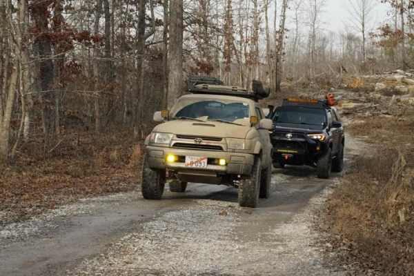
Stephens Chapel Road - FSR 415
Stephens Chapel Road--415 is an extremely historic route that navigates directly to one of the last original standing structures within Land Between the Lakes National Recreation Area. The Road is a mix of dirt and gravel and is somewhat maintained. The church remains despite the 2021 tornadoes rava...
Learn more about Stephens Chapel Road - FSR 415
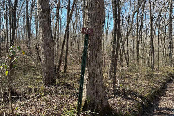
FS 143
FS 143 is somewhat hidden away from the rest of the Forest Service roads amongst Land Between the Lakes. It is accessed through FS 141. It has a few tight paths through trees and a water crossing through a creekbed. It dead-ends into a power/gas line track and you will have to turn around and come b...
Learn more about FS 143
Beginner UTV/side-by-side trails near Massac, Kentucky
Find UTV and side-by-side trails near you. These trails accommodate vehicles up to 60 inches wide, ideal for UTVs, side-by-sides, and wider off-road rigs.
FSR 119
Forest Service Road 119 is a semi-maintained dirt and gravel road that connects FSR 112 and FSR 117 within the Land Between the Lakes National Recreation Area. It is on the northern portion of the park in the area known as 'Tornado Valley' after two tornadoes hit the park in 2021. The road is easily...
Learn more about FSR 119
Glen Street
Glen Street Trail is a scenic main artery through this section of Shawnee National Forest, providing access to dispersed campsites, numerous side trails and the spectacular Jackson Falls area. The trail is somewhat rougher than other primary routes nearby, with deeper puddles, rainwater erosion, exp...
Learn more about Glen Street
Stephens Chapel Road - FSR 415
Stephens Chapel Road--415 is an extremely historic route that navigates directly to one of the last original standing structures within Land Between the Lakes National Recreation Area. The Road is a mix of dirt and gravel and is somewhat maintained. The church remains despite the 2021 tornadoes rava...
Learn more about Stephens Chapel Road - FSR 415
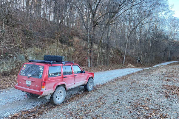
Lingle Creek Road
Lingle Creek Road is an ideal, beginner-friendly gravel route for four-wheel-drive vehicles, SxSs, and dual-sport motorcycles looking to explore the scenic rolling hills of southern Illinois. Spanning approximately 2.8 miles with a mild elevation gain of 91 feet, the road closely parallels Lingle Cr...
Learn more about Lingle Creek Road
The onX Offroad Difference
onX Offroad combines trail photos, descriptions, difficulty ratings, width restrictions, seasonality, and more in a user-friendly interface. Available on all devices, with offline access and full compatibility with CarPlay and Android Auto. Discover what you're missing today!
Open Trail Map