Trail Overview
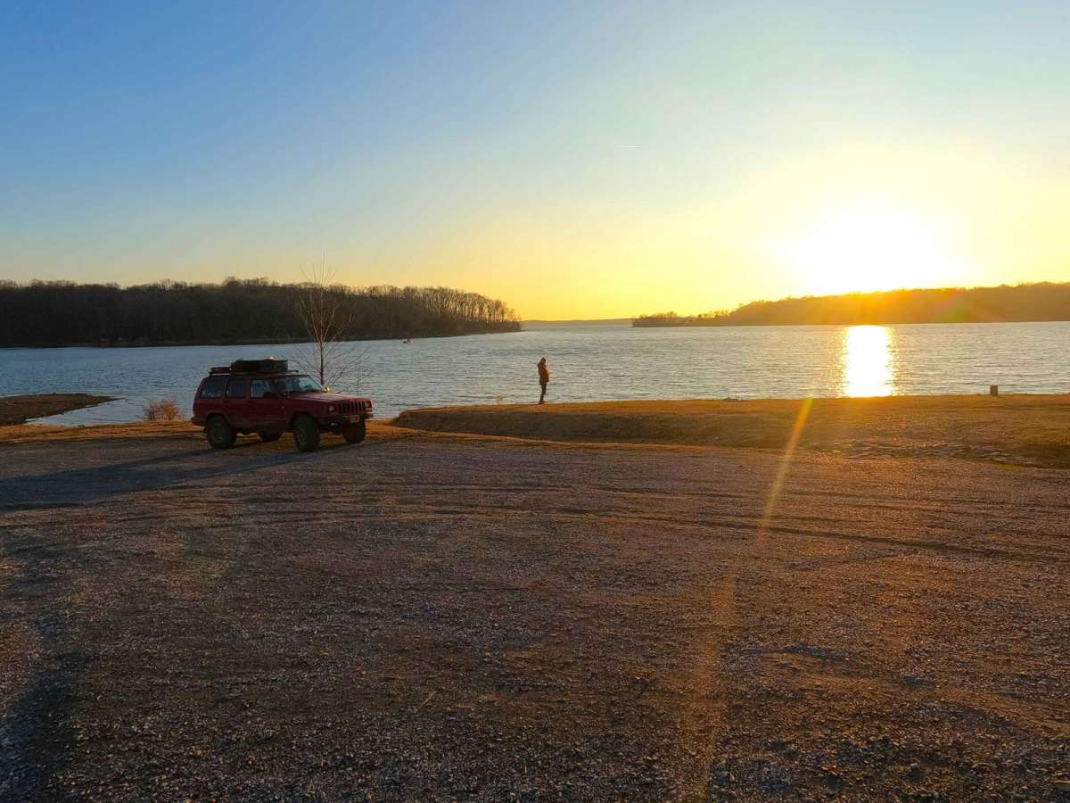
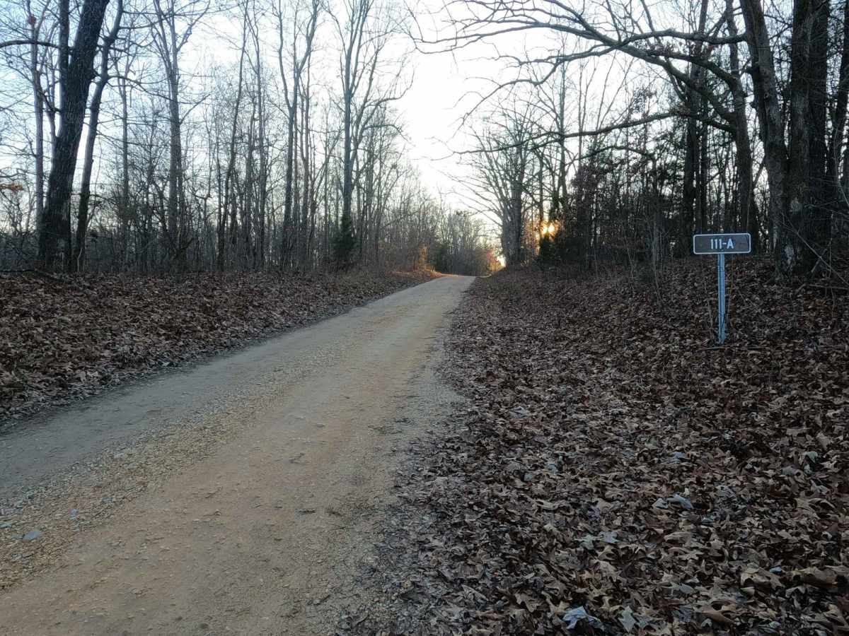
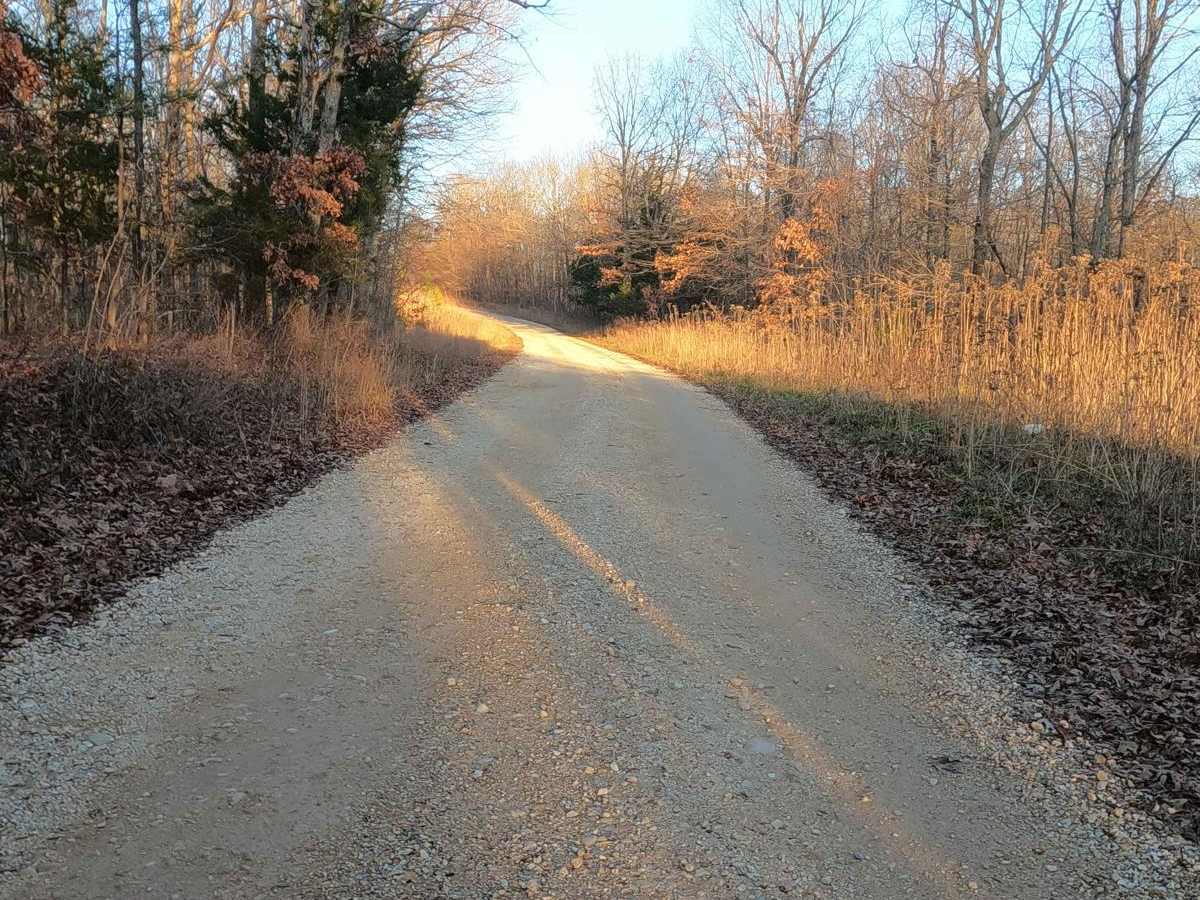
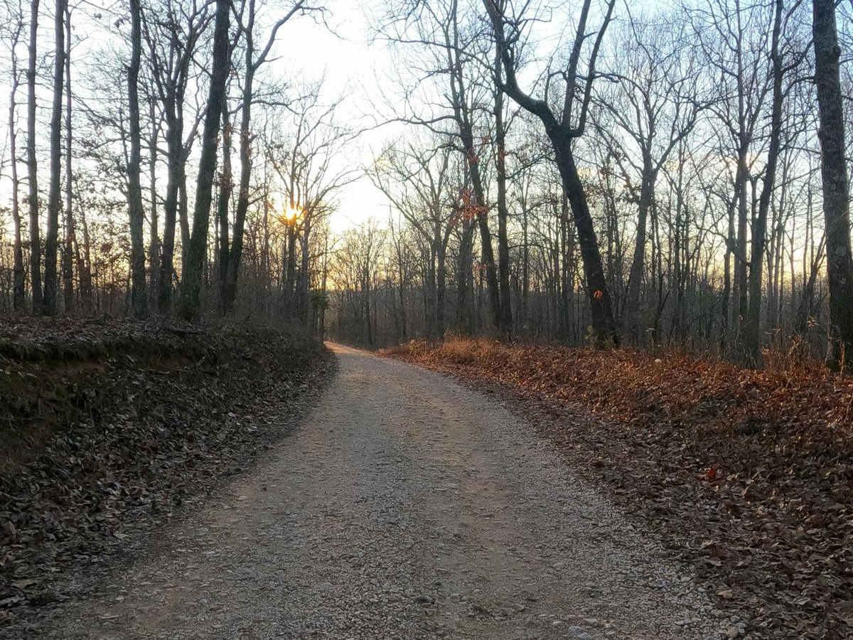
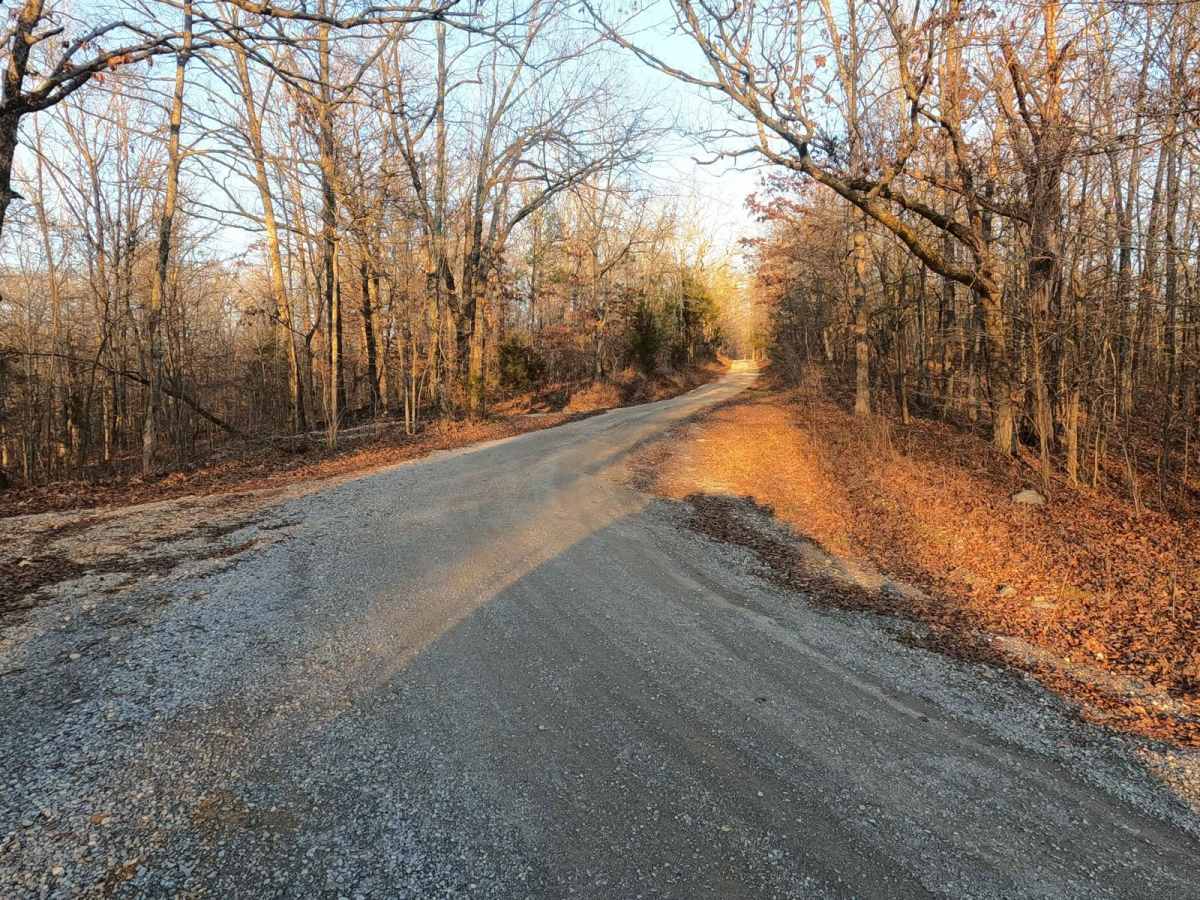
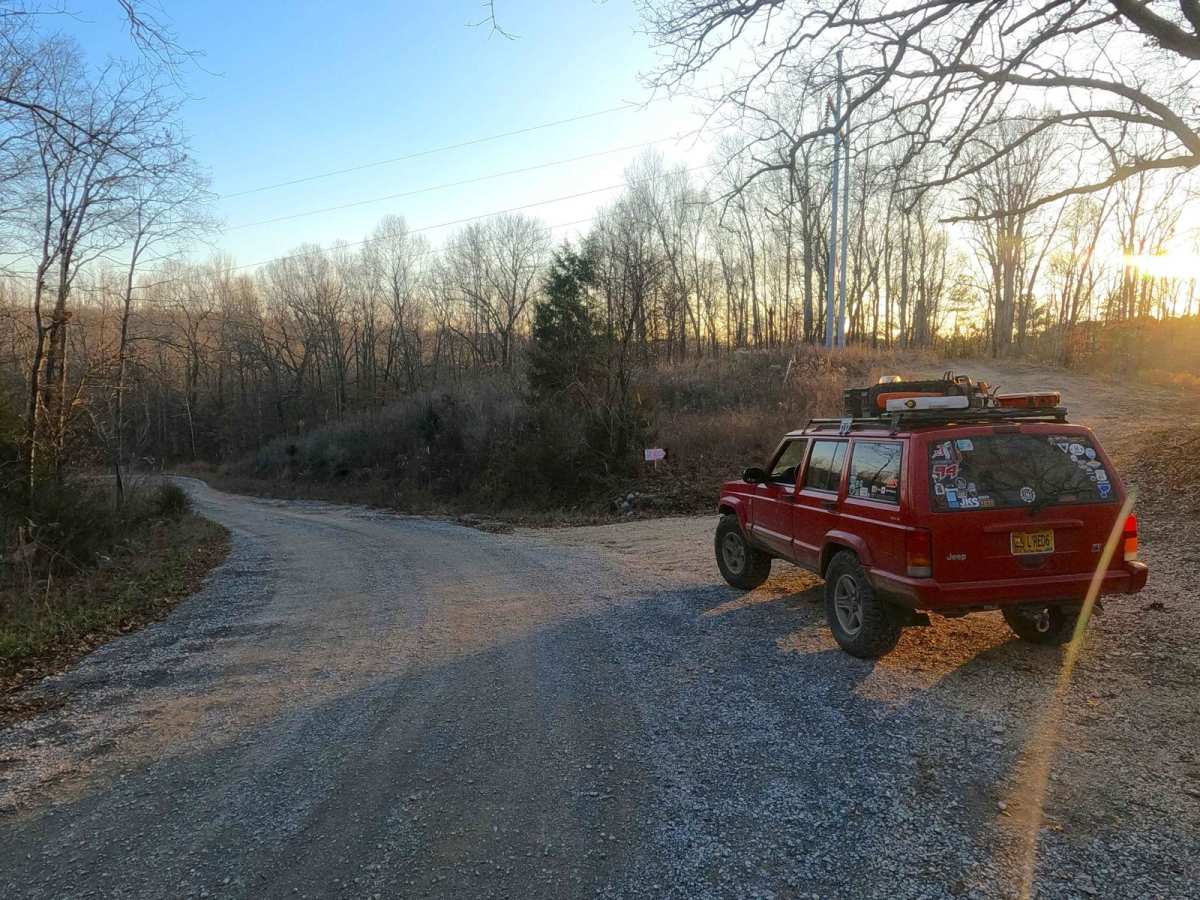
Pisgah Point Spur FS 111A is a gravel forestry route through the northwest corner of the northern Kentucky section, Kentucky Lake side, of the Land Between the Lakes National Recreation Area. The road consists of rolling hills traversing from the ridge top that the Woodland Trace rests on down into the valleys below. There, it crosses the powerline trunk to rise back up to another ridge top, before tracking back downhill to the Pisgah Point dispersed camping area on the edge of the Kentucky Lake shore. The terrain of the the trail consists of a gravel base, with sections that fade to dirt, and the hills show mild signs of erosion and rutting, but are often not long-lasting due to the priority of this trail. Where this trail shines is in the dispersed camping arena; it has an abundance of locations that can be set up and enjoyed for an overnight stay. The main spot is found at the trail end at 36.93679, -88.16826 and includes amenities such as a vaulted toilet, manmade metal grills, picnic tables, and several rock fire rings. Nearby to the trail end and the main dispersed camping area is the Lee Cemetery at 36.93762, -88.16890; please pay respect to those who came before us.
Difficulty
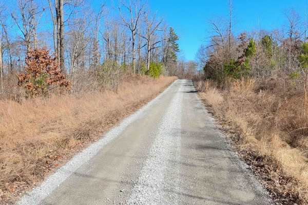
The FS 111A is a simplistic gravel road, featuring only mild hills with mild examples of erosion and spots where the road fades to dirt/thin mud and might have small ruts in between maintenance cycles. There is one optional creek crossing at Dodds Creek, which appears to be made for vehicles above the 7-ton weight rating of the concrete bridge it parallels. This is the only spot that could yield a higher rating due to potential water collection and loose creek bed gravel. The road is given a 1/10 base rating, due to the simplistic nature of the road, but at minimum expect potholes, washboarding, and mounding of the gravel. The road's difficulty could increase through heavy use and wet conditions, specifically at the mild grades where the gravel fades to dirt, or at Dodds Creek if water is present.