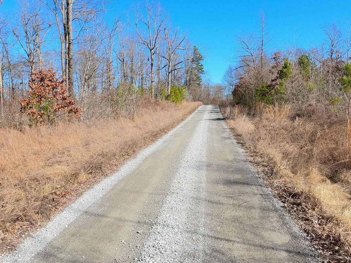
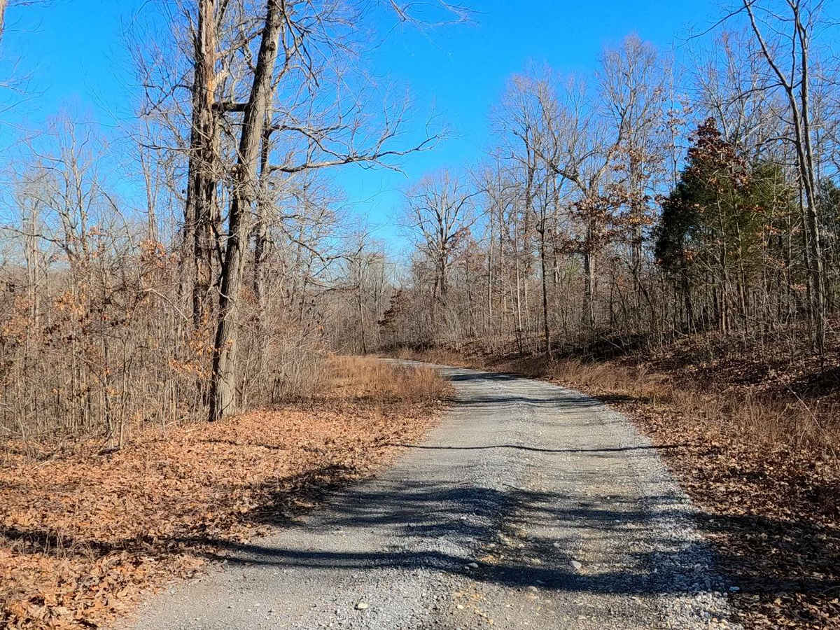
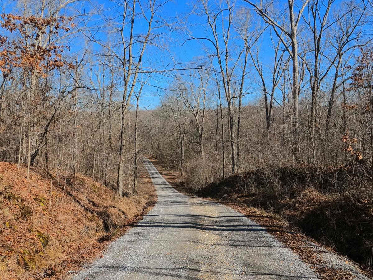
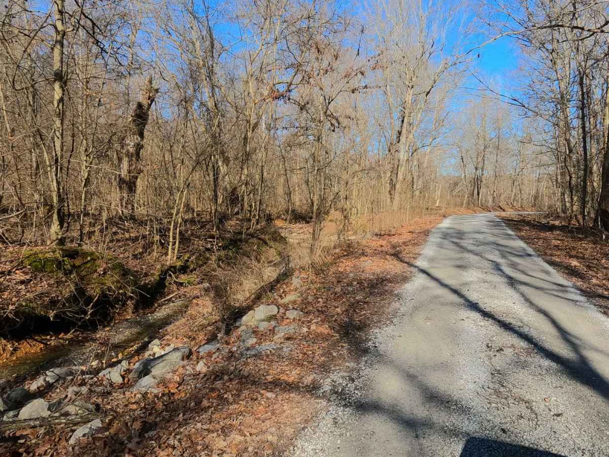
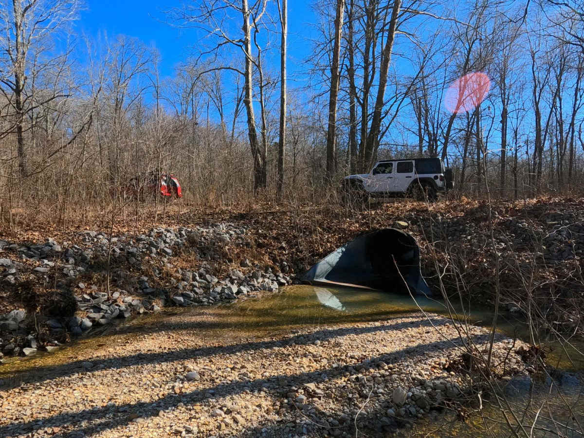
Trail Overview
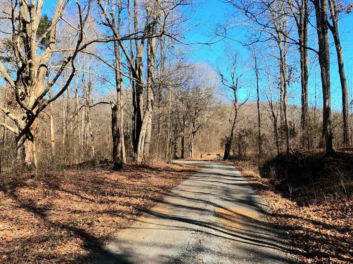
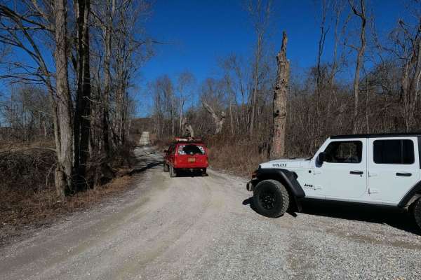
Roger's Road - FS 113 is a gravel forest service road through the inland center-north Kentucky section of the Land Between the Lakes National Recreation Area. This road features small rolling hills and beautiful tree lines, with minimal water collection spots on the road surface and occasional mild soft spots. Geographically the road features a culvert bridge crossing over the Demumbers Creek and later a natural splash crossing of one of the branch creeks that feeds Demumbers. The road logistically connects the Tornado Valley/Brandon Chapel FS 112 to The Woodland Trace, being used as a shortcut or alternate entry to the FS 112.
Difficulty
Rogers Road - FS 113 is generally a simple gravel road. It is mostly a 1/10, especially if dry, consisting of a flat valley and mild-graded hills. The 2/10 base rating comes from the 3-6 inch water splash where feeder branch creek lays and from the mild grades up and down the hills of the road, where between maintenance cycles rainwater channels form mild 3 to 12-inch erosion ruts exposing the base of loose coarse natural gravel. At a minimum, expect washboards, potholes, mounding of the gravel, and spots where the gravel fades to dirt. The road could become more difficult after heavy use, wet conditions, and inclement weather, but it also could be mended to be a 1/10 road again.