
Beginner Off-Road Trails
Near Manchester, Kentucky
Explore All Beginner Trails Near Manchester, Kentucky
Beginner Off-Road Trails Near Manchester, Kentucky
Discover the best beginner-friendly off-road trails near you. These easier, lower-rated trails are a great place to start — browse trail maps, check difficulty ratings, and find your next adventure.
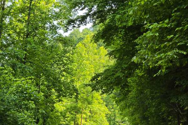
Stone Gap Road
Stone Gap Road is a graveled county road that runs through the Daniel Boone National Forest. There isn't anything on this route as far as obstacles. You will find shallow ruts and mud holes less than six inches deep. It follows along a dried-up creek bed that is fed when it rains.
Learn more about Stone Gap Road
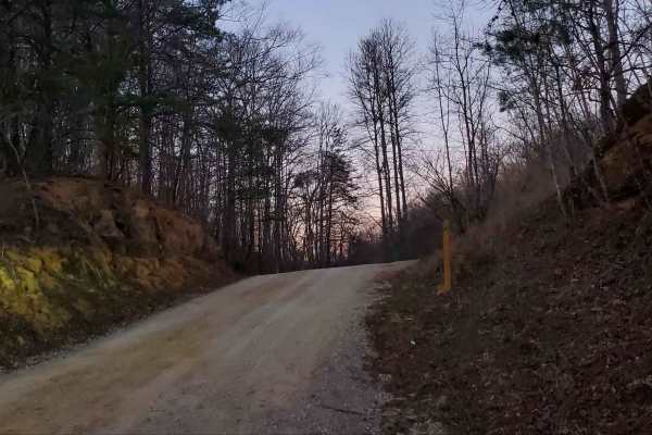
Wagoners Branch Road
This is a semi-maintained county road that takes you along a nice creek ride. In some areas, you may encounter natural and loose terrain. There is plenty of space to pass along this route as well. There are a couple of washouts that may require some extra caution when crossing. Very pretty ride
Learn more about Wagoners Branch Road
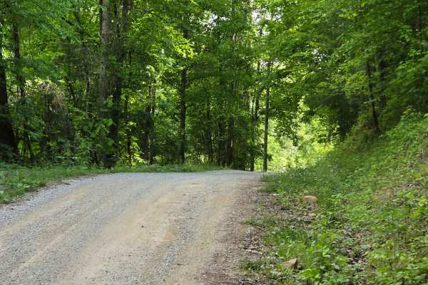
Newfound Road
Newfound Road is a nine-mile country gravel road that runs along the south fork of the Kentucky River. Most of the trail, you can find room for passing; however, there are some stretches that are very narrow, and passing is impossible. You won't find much more than shallow mud puddles along this tra...
Learn more about Newfound Road
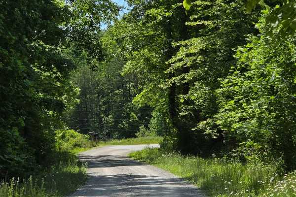
Cool Springs Road
Cool Springs Road is a gravel shelf road that is extremely narrow in spots. You can expect to encounter washouts and ruts along the way, but nothing that will cause many issues in navigation. You will also encounter steep inclines/declines with loose gravel. This is a pretty creek ride through the D...
Learn more about Cool Springs Road
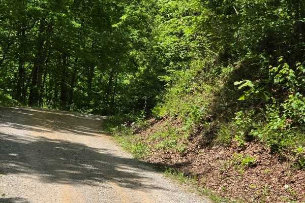
Felty Road
Felty Road is another shelf road with some narrow spots along the way. This was once used as a rail bed, but is now used as a county road that is made up of loose gravel and some dirt spots. You can expect washouts and steep ledges along your way, making passing impossible in areas.
Learn more about Felty Road
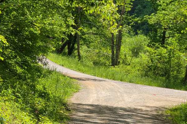
Slash Road
Slash road is a shelf road that follows along a pretty creek ride and is covered with a mature tree canopy. You can find multiple spots that allow for passing along this route. There isn't much to offer as obstacles on this road outside of a couple of shallow mudholes.
Learn more about Slash Road
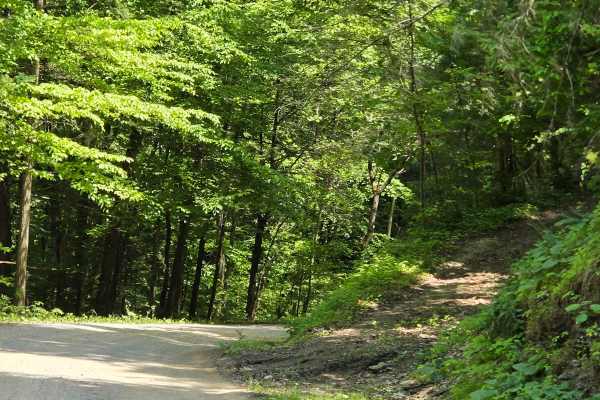
Saddler Road
Saddler Road is a forest service road that runs through the Daniel Boone National Forest. This track is narrow in most spots with steep drops off one side or the other, and tall rock walls along the other, making passing impossible. You can expect washouts and ruts along this track as well.
Learn more about Saddler Road
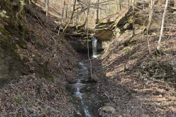
Misletoe Road
Mistletoe Road is a historic county road that serves as a core section of the Daniel Boone Backcountry Byway (DBBB). While the DBBB is expanding to a massive 1,300 miles, Mistletoe remains a staple for those seeking a moderately challenging off-road experience in the Red River Gorge area. Vehicle Re...
Learn more about Misletoe Road
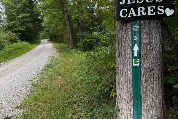
JC Trail 3
This is an easy gravel road with some small mud holes, a rocky creek crossing, and some small rocky hills. It's a very good beginner trail that connects some of the trails to the main highway, KY 30. It will take you through beautiful farmland and pretty creeks.
Learn more about JC Trail 3
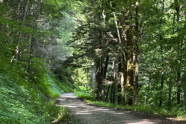
Pine Flat - Laurel Fork Road
This starts on either side as a gravel-maintained route and then transitions to a more rough and technical area, as parts of the route are unmaintained. Some spots become tight between small trees. There is a short hill climb or descent with small ruts. The route travels along the Laurel Fork Creek ...
Learn more about Pine Flat - Laurel Fork Road
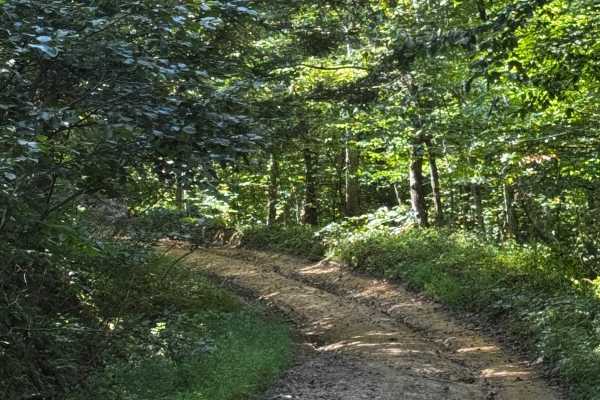
JC Trail 1
A very easy trail with mostly gravel, some mud, and just a few small ruts. It will take you down a curvy path through the woods and farmland. This is a very good trail for beginners to learn on. It's an old county road that leads thought some of the Daniel Boone National Forest and some privet farms...
Learn more about JC Trail 1
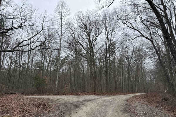
Tussey Hill Road
This is a very well-maintained gravel road that includes a portion of the Kentucky Adventure Trail Main 1 Trail. This road is mostly gravel with a portion closer to Bear Gap Road being a little more muddy and not as well maintained. This trail leads to S-Tree Campground, which has nice camp spots f...
Learn more about Tussey Hill Road
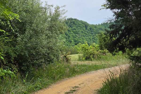
Jim Callahan Road
Jim Callahan Road is a four-mile run that takes you through farmlands as well as a nice scenic ridge top ride. You can expect loose dirt and gravel while ascending 400 feet in elevation. It is tight and narrow along the ridge top portion with little to no room for passing. The most technical part of...
Learn more about Jim Callahan Road
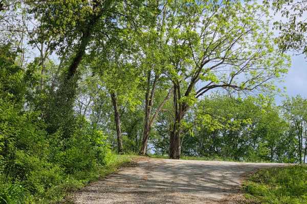
Pierson Road
This is a scenic gravel drive through some of Owsley County's small farm lands. This trail is maintained for the most part, but it does have some small mudholes along the way, which is nothing that causes any issues. This is a connector road from Highway 399 to Marcum Ridge Road.
Learn more about Pierson Road
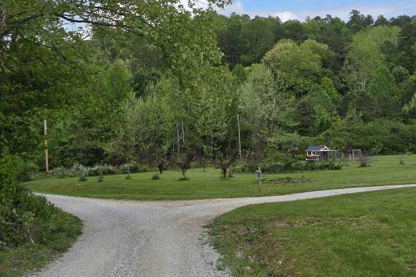
Little Sturgeon
easy gravel drive along a scenic little sturgeon creek. you will run along this peaceful flowing creek that offers cascades and smaller waterfalls. This trail connects you to the Appalachian Overland Triangle, which is Home Base for Backroads off Appalachia off roading events, as well as other trail...
Learn more about Little Sturgeon
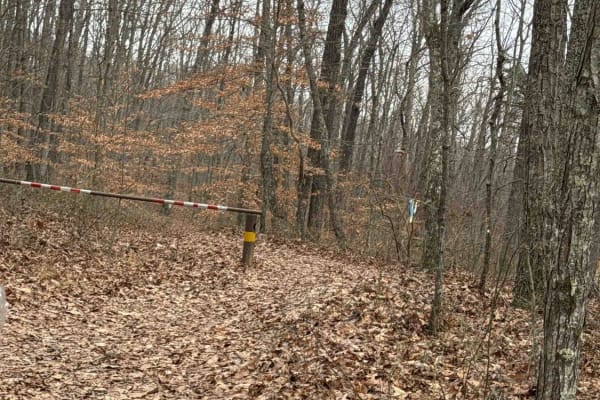
S-Tree Road (FSR 20-1)
This is a well-maintained gravel Forest Service road; a small portion lies along the Daniel Boone Backcountry Byway and the Kentucky Adventure Trail Main 1. This trail can be accessed from several of the trails leading away from McKee. It ends with a nice campground that has a nice picnic table and ...
Learn more about S-Tree Road (FSR 20-1)
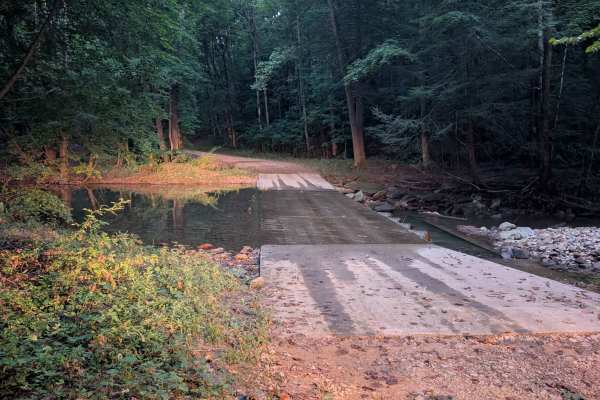
Steer Fork - FS 3109
Steer Fork Road - FS 3109 is a dead-end forest road that branches off Elster Road in the Daniel Boone National Forest and provides access to the War Fork drainage. The route is primarily gravel with only a few potholes, making for an easy and enjoyable drive through the forest. Along the road are tw...
Learn more about Steer Fork - FS 3109
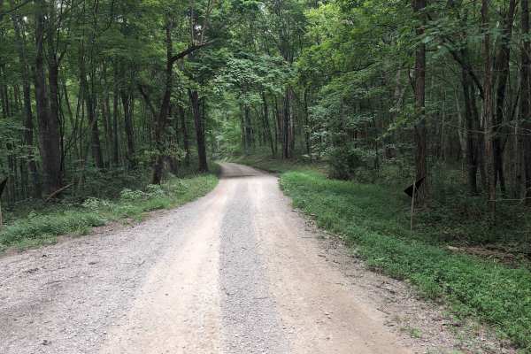
Elsam Fork Road - FS 345
Elsam Road - Forest Service Road 345 is a gravel road that is suitable for high‑clearance vehicles to sedans depending on the weather conditions. The road follows moderate elevation changes with occasional rutted sections, washouts after heavy rain, and tight vegetation along the shoulders. Cell cov...
Learn more about Elsam Fork Road - FS 345
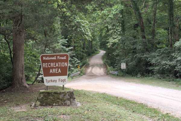
Turkey Foot Road - FS 4
Turkey Foot Road - FS 4, also known as Elster Road, is a scenic gravel road that winds through the Daniel Boone National Forest, providing access to recreation areas, forest roads, and dispersed camping opportunities. The route includes a single-lane bridge crossing and passes through beautiful hard...
Learn more about Turkey Foot Road - FS 4
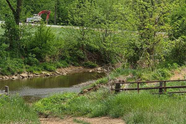
AOT Expressway
This is a cool scenic ride along Sturgeon Creek. This trail is narrow with only a couple of spots that may permit passing. It is made up mainly of dirt along this route, with no obstacles to traverse. There is a spot or two that is being washed out, so attention to detail should be the top priority ...
Learn more about AOT Expressway
Beginner ATV trails near Manchester, Kentucky
Explore ATV-friendly trails near you. These trails are accessible for vehicles up to 50 inches wide, perfect for ATVs and smaller off-road machines.
Stone Gap Road
Stone Gap Road is a graveled county road that runs through the Daniel Boone National Forest. There isn't anything on this route as far as obstacles. You will find shallow ruts and mud holes less than six inches deep. It follows along a dried-up creek bed that is fed when it rains.
Learn more about Stone Gap Road
Wagoners Branch Road
This is a semi-maintained county road that takes you along a nice creek ride. In some areas, you may encounter natural and loose terrain. There is plenty of space to pass along this route as well. There are a couple of washouts that may require some extra caution when crossing. Very pretty ride
Learn more about Wagoners Branch Road
Newfound Road
Newfound Road is a nine-mile country gravel road that runs along the south fork of the Kentucky River. Most of the trail, you can find room for passing; however, there are some stretches that are very narrow, and passing is impossible. You won't find much more than shallow mud puddles along this tra...
Learn more about Newfound Road
Cool Springs Road
Cool Springs Road is a gravel shelf road that is extremely narrow in spots. You can expect to encounter washouts and ruts along the way, but nothing that will cause many issues in navigation. You will also encounter steep inclines/declines with loose gravel. This is a pretty creek ride through the D...
Learn more about Cool Springs Road
Beginner UTV/side-by-side trails near Manchester, Kentucky
Find UTV and side-by-side trails near you. These trails accommodate vehicles up to 60 inches wide, ideal for UTVs, side-by-sides, and wider off-road rigs.
Stone Gap Road
Stone Gap Road is a graveled county road that runs through the Daniel Boone National Forest. There isn't anything on this route as far as obstacles. You will find shallow ruts and mud holes less than six inches deep. It follows along a dried-up creek bed that is fed when it rains.
Learn more about Stone Gap Road
Wagoners Branch Road
This is a semi-maintained county road that takes you along a nice creek ride. In some areas, you may encounter natural and loose terrain. There is plenty of space to pass along this route as well. There are a couple of washouts that may require some extra caution when crossing. Very pretty ride
Learn more about Wagoners Branch Road
Newfound Road
Newfound Road is a nine-mile country gravel road that runs along the south fork of the Kentucky River. Most of the trail, you can find room for passing; however, there are some stretches that are very narrow, and passing is impossible. You won't find much more than shallow mud puddles along this tra...
Learn more about Newfound Road
Cool Springs Road
Cool Springs Road is a gravel shelf road that is extremely narrow in spots. You can expect to encounter washouts and ruts along the way, but nothing that will cause many issues in navigation. You will also encounter steep inclines/declines with loose gravel. This is a pretty creek ride through the D...
Learn more about Cool Springs Road
The onX Offroad Difference
onX Offroad combines trail photos, descriptions, difficulty ratings, width restrictions, seasonality, and more in a user-friendly interface. Available on all devices, with offline access and full compatibility with CarPlay and Android Auto. Discover what you're missing today!
Open Trail Map