
Beginner Off-Road Trails
Near Longville, Minnesota
Explore All Beginner Trails Near Longville, Minnesota
Beginner Off-Road Trails Near Longville, Minnesota
Discover the best beginner-friendly off-road trails near you. These easier, lower-rated trails are a great place to start — browse trail maps, check difficulty ratings, and find your next adventure.
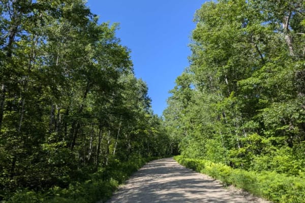
FS 2886
This trail begins as a mostly straight, corrugated gravel road that transitions into a winding path as it approaches the end near a small lake and a few private residences. The route takes you through a quiet mix of open fields and shaded forest, with stretches that feel remote and others that pass ...
Learn more about FS 2886

Old Grade Road
This trail is a minimally maintained forest road that should be traveled with caution. It follows a mostly straight path through overgrown woodland and offers limited visibility due to encroaching vegetation. Along the way, it passes an active residence featuring a large farmhouse and cultivated fie...
Learn more about Old Grade Road
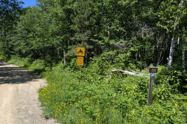
FS 2100
This trail is narrow, sandy, and largely unmaintained, making it better suited to vehicles with higher clearance. It climbs gradually into the forest, with a series of ascents and descents that may become more challenging after rainfall due to water damage along the surface. In wet conditions, some ...
Learn more about FS 2100
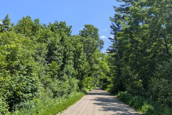
Woodtick Auto Route - FS 2107
Trail 2107, also known as the Woodtick Auto Route, is a long, scenic route that winds through forested terrain and past a number of lakes. The trail begins near the town of Walker, where it is wide and well-maintained with smooth gravel. This northern section features multiple access points to hikin...
Learn more about Woodtick Auto Route - FS 2107
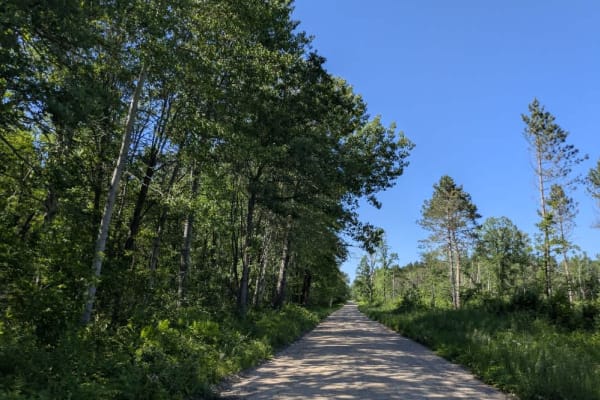
32nd Avenue Northeast
This trail follows a well-maintained gravel road that weaves through a mix of open fields and forested areas. In some stretches, it runs straight and level, while in others it curves gently through denser woodland. Several smaller trails branch off along the way, most of which appear to be logging a...
Learn more about 32nd Avenue Northeast
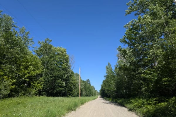
Warner Drive
This trail begins at a paved road and transitions into a wide, well-maintained gravel surface that travels through a mix of open fields, forested areas, and residential properties. Early on, it offers a smooth and straightforward drive, but conditions shift after a fork where the route branches into...
Learn more about Warner Drive
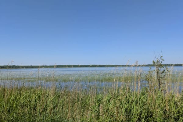
157
This trail is a long, wide gravel route that remains in good condition throughout and travels primarily through forested surroundings and past a few small lakes. The surface is dusty, especially in dry weather, and the road is well-maintained, allowing for a relatively smooth drive. Along the way, t...
Learn more about 157
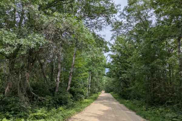
County 39 Northeast
This trail provides access to the paved State 200 Road and follows a wide, well-maintained two-vehicle track composed of gravel and sand. It winds through forested terrain with a series of ascents and descents, making for a steady but manageable drive. Along the way, the route passes wetlands and sm...
Learn more about County 39 Northeast
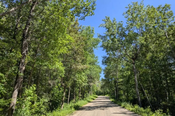
County Road 125 Northeast
This trail follows a wide, well-maintained gravel road that winds through a blend of open fields and mixed forest. It passes a handful of private residences and a working farm with bright green pastures, giving it a distinctly rural character. Along the way, you'll catch views of a nearby lake, and ...
Learn more about County Road 125 Northeast
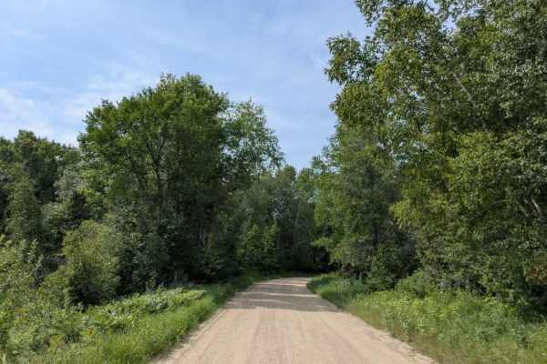
County Road 127
This trail is a paved road that begins as a well-maintained two-lane track, winding through forested terrain. The surface is smooth and free of potholes, making it an easy route to travel. The main trail continues to connect with County Road 39, providing a straightforward link between the two paved...
Learn more about County Road 127
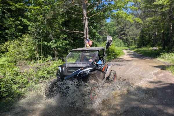
FS 3579
This trail begins as a wide, well-maintained gravel road that travels past a small lake, an open field, and patches of forest. It's an easy and scenic start, but after a noticeable change in the road, a sign appears warning of active logging operations ahead. From there, the trail climbs steadily in...
Learn more about FS 3579
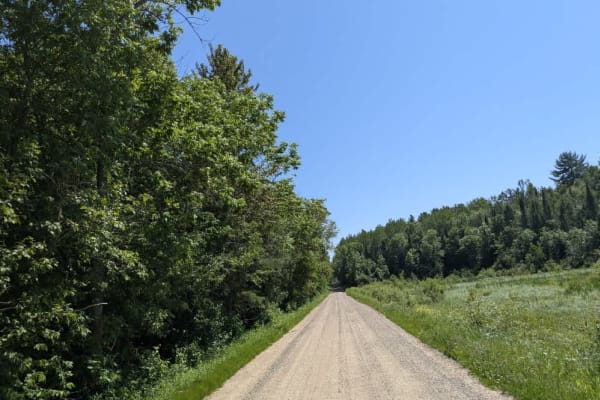
County Road 128
This trail offers a scenic drive through forested terrain as it gradually descends toward a lakeshore. The surface is wide, smooth gravel, and well-maintained, making for an easy and pleasant ride. Winding gently through the trees, the trail eventually reaches a lake with public boat access. Several...
Learn more about County Road 128
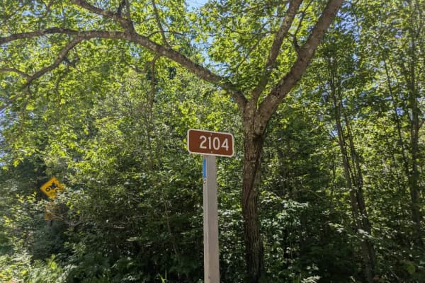
2104
This trail begins at a junction with the main paved road and leads directly to a developed campsite, called Mable Lake. The campsite is located near a lake and offers basic amenities, including hand-pumped water and a simple ablution block. There are no trash facilities available, and an overnight s...
Learn more about 2104
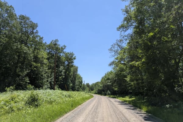
FS 2108
This trail begins as a well-maintained gravel road branching off from a paved route, but quickly narrows and becomes rougher as it winds south through a forested area. The trail is unmaintained for most of its length and features a mix of sandy and limited rocky surfaces, with noticeable water damag...
Learn more about FS 2108
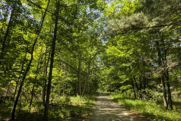
2103
From the south, this trail begins at a large, open parking area with a boat launch located beside a lake bordered by reeds and grass. Prominent signage in the area makes it clear that camping is not permitted, and the presence of a parked ranger vehicle suggests regular patrols. From the launch, the...
Learn more about 2103
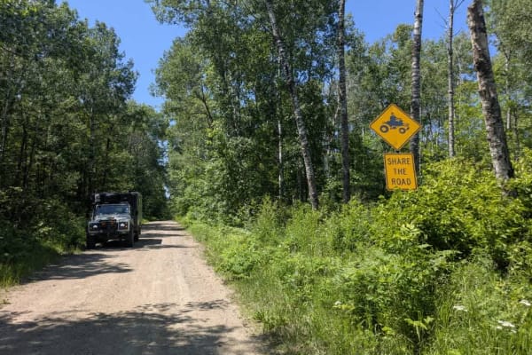
2117
This trail follows a winding path through a mixed landscape and appears to be only partially maintained. In several sections, the surface is uneven and shows signs of water damage, with potholes and erosion present despite the presence of a few active residences along the route. Wet areas are visibl...
Learn more about 2117
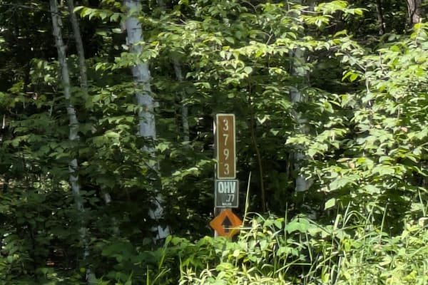
FS 3790
This forested trail offers a pleasant drive along a mostly smooth route, although drivers should be prepared for occasional potholes and some water damage in certain areas. The surface is a mix of gravel and sand, which can become uneven after rain. The trail passes through wet areas and is surround...
Learn more about FS 3790
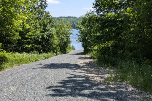
FS 2687
This narrow dirt trail winds through a quiet forest and is only minimally maintained, with sections of deep sand, uneven bumps, and areas of surface damage caused by recent storms. The route includes climbs and descents and passes a small lake before continuing on toward a peaceful boat launch. At t...
Learn more about FS 2687
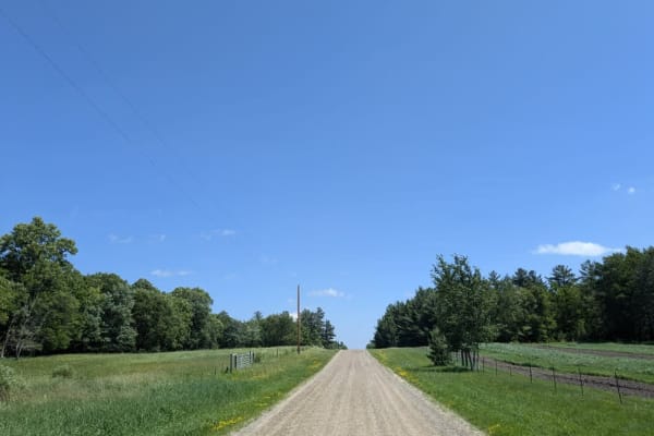
124
This U-shaped off-road trail travels through a scenic area lined with attractive lake houses and private residences before eventually connecting to the paved State Highway 200. The surrounding landscape is quiet and picturesque, with views of the lake appearing at various points along the way. The t...
Learn more about 124
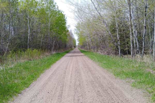
Boy River to Ketchum Road Northwest
Boy River to Ketchum Road Northwest on the Soo Line North is a section of converted rail grade that is 19.3 miles long and takes about 1 hour with an average speed of 20.3 MPH. It's a great trail to run if you are in the area during a wet period or springtime, when other trails may be water-logged. ...
Learn more about Boy River to Ketchum Road Northwest
Beginner ATV trails near Longville, Minnesota
Explore ATV-friendly trails near you. These trails are accessible for vehicles up to 50 inches wide, perfect for ATVs and smaller off-road machines.
Old Grade Road
This trail is a minimally maintained forest road that should be traveled with caution. It follows a mostly straight path through overgrown woodland and offers limited visibility due to encroaching vegetation. Along the way, it passes an active residence featuring a large farmhouse and cultivated fie...
Learn more about Old Grade Road
FS 2100
This trail is narrow, sandy, and largely unmaintained, making it better suited to vehicles with higher clearance. It climbs gradually into the forest, with a series of ascents and descents that may become more challenging after rainfall due to water damage along the surface. In wet conditions, some ...
Learn more about FS 2100
32nd Avenue Northeast
This trail follows a well-maintained gravel road that weaves through a mix of open fields and forested areas. In some stretches, it runs straight and level, while in others it curves gently through denser woodland. Several smaller trails branch off along the way, most of which appear to be logging a...
Learn more about 32nd Avenue Northeast
Warner Drive
This trail begins at a paved road and transitions into a wide, well-maintained gravel surface that travels through a mix of open fields, forested areas, and residential properties. Early on, it offers a smooth and straightforward drive, but conditions shift after a fork where the route branches into...
Learn more about Warner Drive
Beginner UTV/side-by-side trails near Longville, Minnesota
Find UTV and side-by-side trails near you. These trails accommodate vehicles up to 60 inches wide, ideal for UTVs, side-by-sides, and wider off-road rigs.
Old Grade Road
This trail is a minimally maintained forest road that should be traveled with caution. It follows a mostly straight path through overgrown woodland and offers limited visibility due to encroaching vegetation. Along the way, it passes an active residence featuring a large farmhouse and cultivated fie...
Learn more about Old Grade Road
FS 2100
This trail is narrow, sandy, and largely unmaintained, making it better suited to vehicles with higher clearance. It climbs gradually into the forest, with a series of ascents and descents that may become more challenging after rainfall due to water damage along the surface. In wet conditions, some ...
Learn more about FS 2100
32nd Avenue Northeast
This trail follows a well-maintained gravel road that weaves through a mix of open fields and forested areas. In some stretches, it runs straight and level, while in others it curves gently through denser woodland. Several smaller trails branch off along the way, most of which appear to be logging a...
Learn more about 32nd Avenue Northeast
Warner Drive
This trail begins at a paved road and transitions into a wide, well-maintained gravel surface that travels through a mix of open fields, forested areas, and residential properties. Early on, it offers a smooth and straightforward drive, but conditions shift after a fork where the route branches into...
Learn more about Warner Drive
The onX Offroad Difference
onX Offroad combines trail photos, descriptions, difficulty ratings, width restrictions, seasonality, and more in a user-friendly interface. Available on all devices, with offline access and full compatibility with CarPlay and Android Auto. Discover what you're missing today!
Open Trail Map