Trail Overview
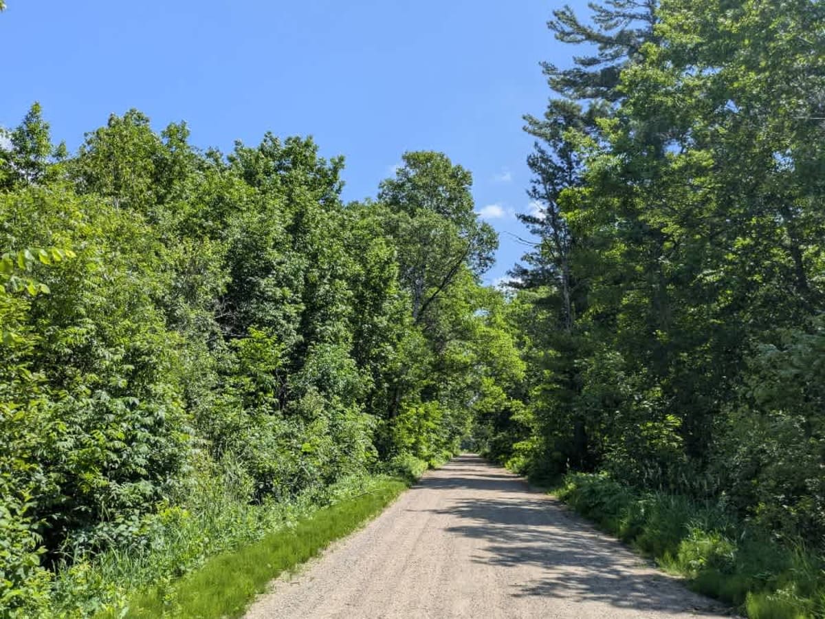
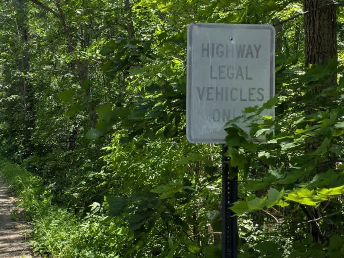
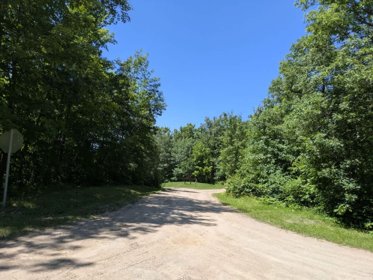
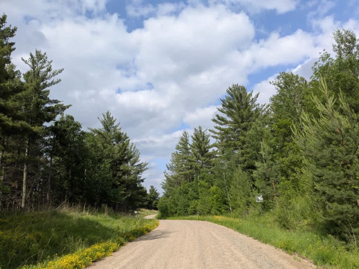
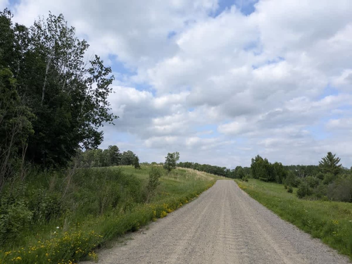
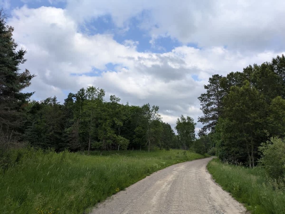
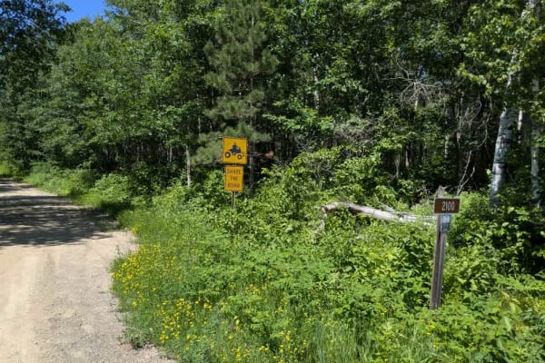
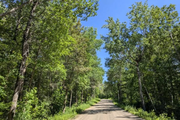
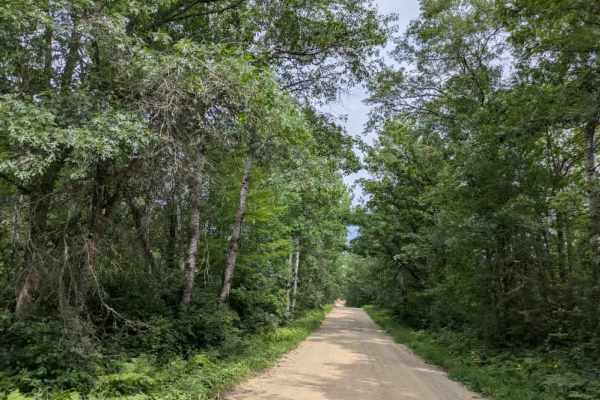
Trail 2107, also known as the Woodtick Auto Route, is a long, scenic route that winds through forested terrain and past a number of lakes. The trail begins near the town of Walker, where it is wide and well-maintained with smooth gravel. This northern section features multiple access points to hiking, biking, snowmobile, and OHV trails. While there are few residences in this part, drivers may encounter mild corrugations and should be aware of volunteers who occasionally work along the trail to maintain the hiking paths. As the route progresses deeper into the forest, the trail narrows and becomes less maintained. The final stretch, which passes near Moccasin Lake and leads back to a paved road, tends to collect water under the forest canopy, resulting in potholes and more frequent corrugation. A few homes are scattered along this southern section, and local traffic is common. Like the earlier portion, there are still several trail spurs for hiking and OHV use. The route does not include any designated campsites and lacks basic amenities such as water or trash services. Cell coverage may be unreliable.
Difficulty
This trail is well-maintained and regularly used by other OHV riders, road users, including residents in the area.