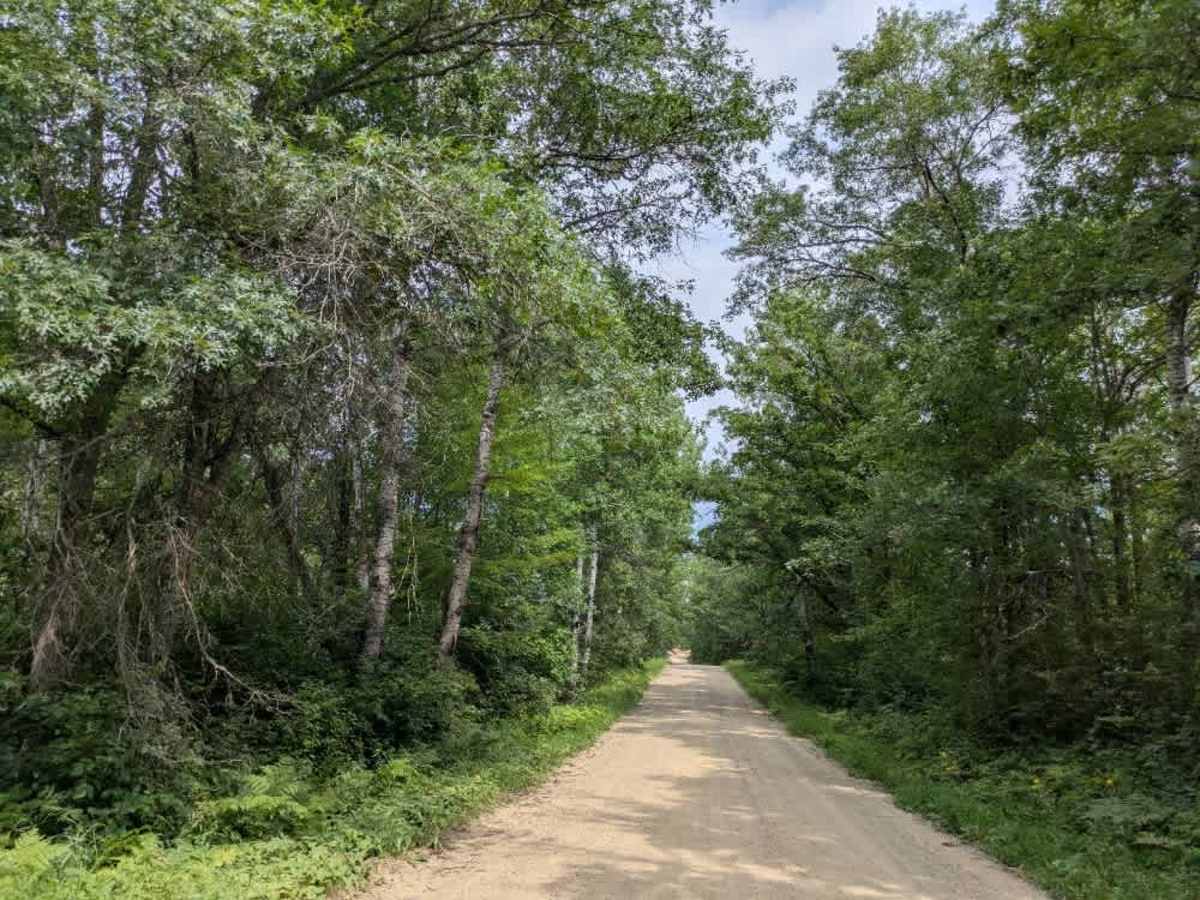
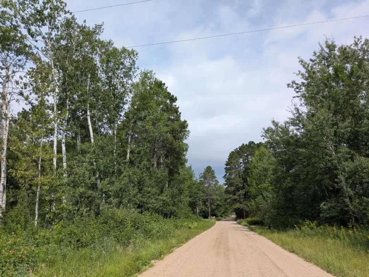
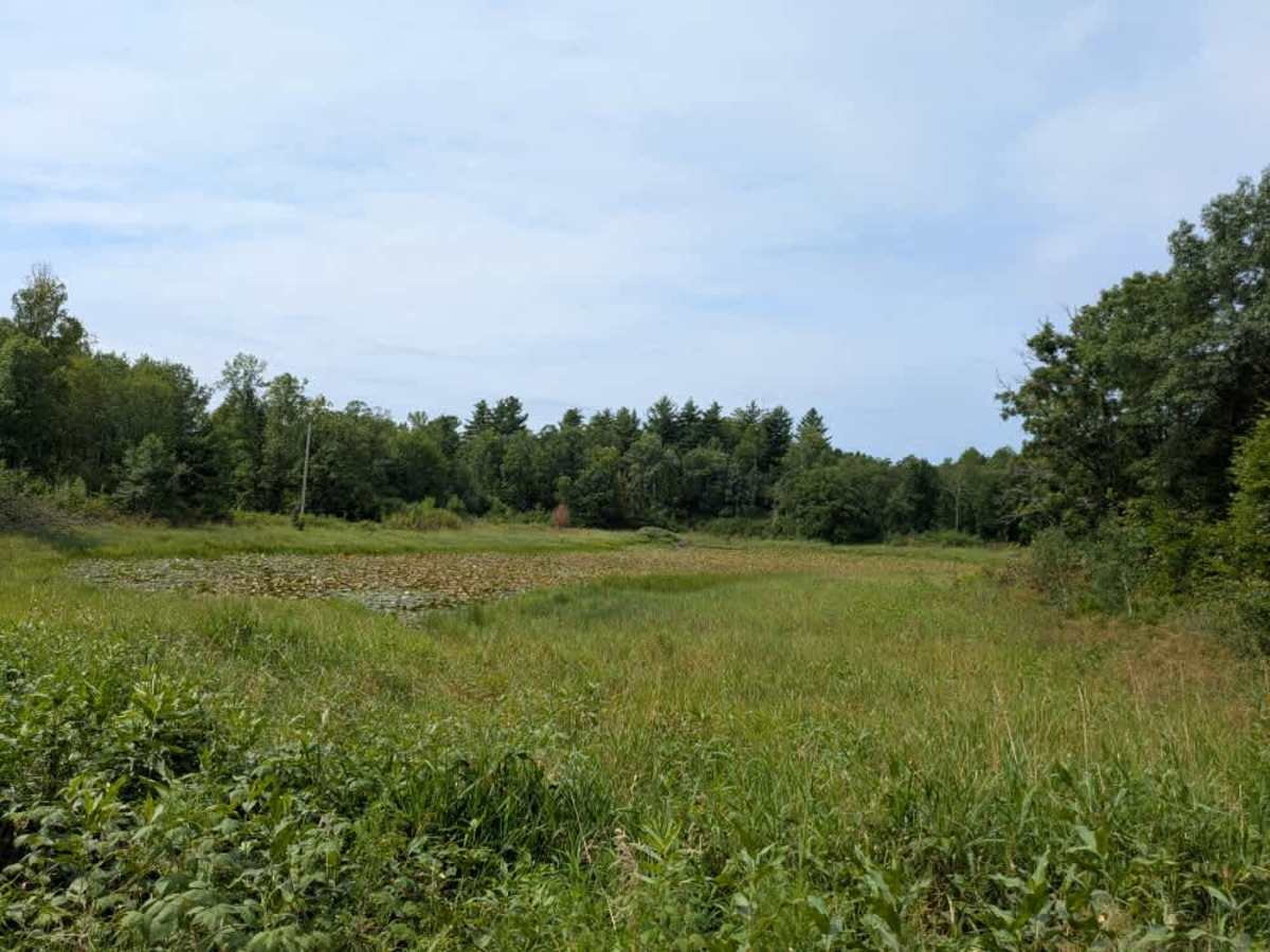
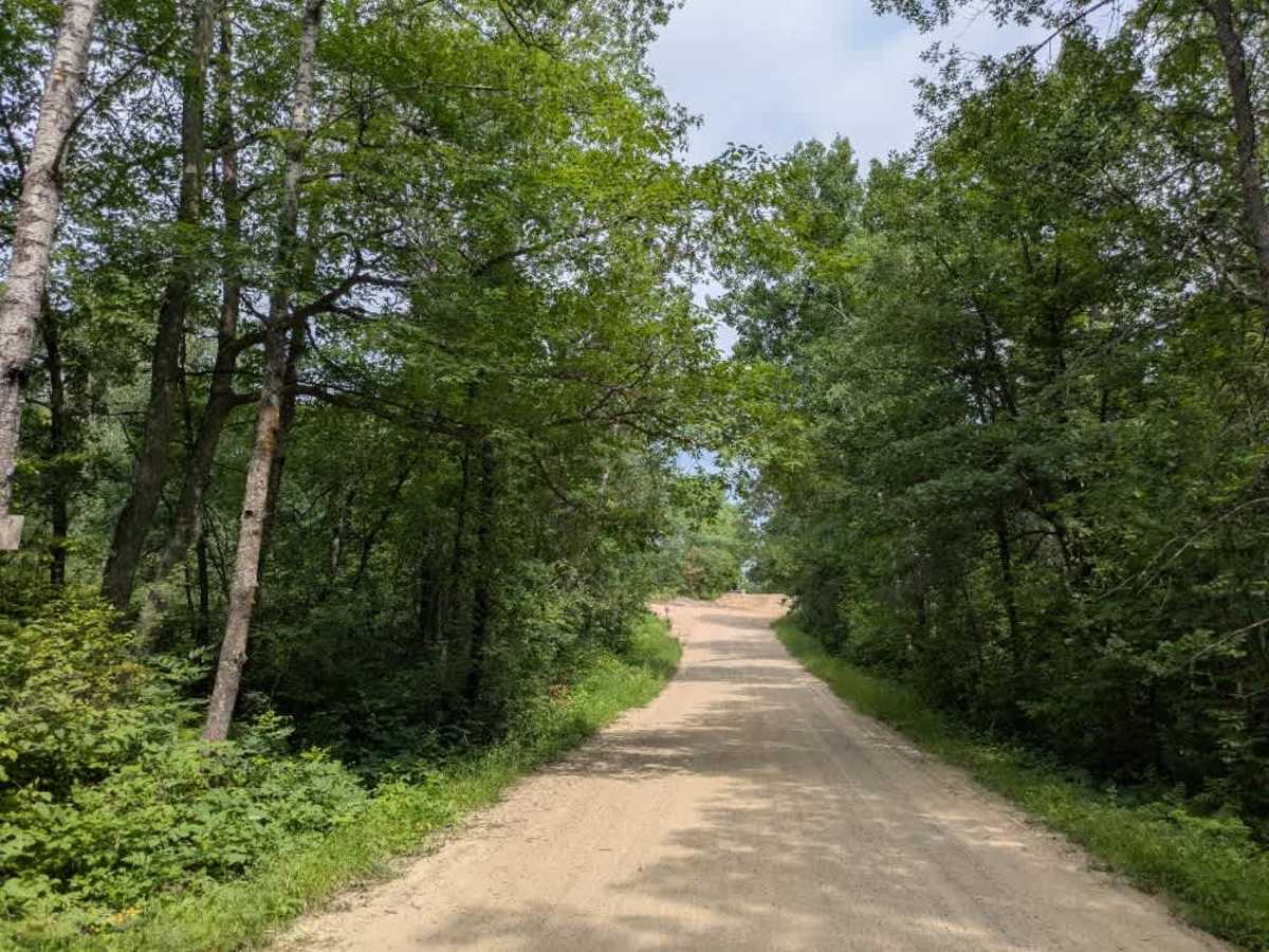
Trail Overview
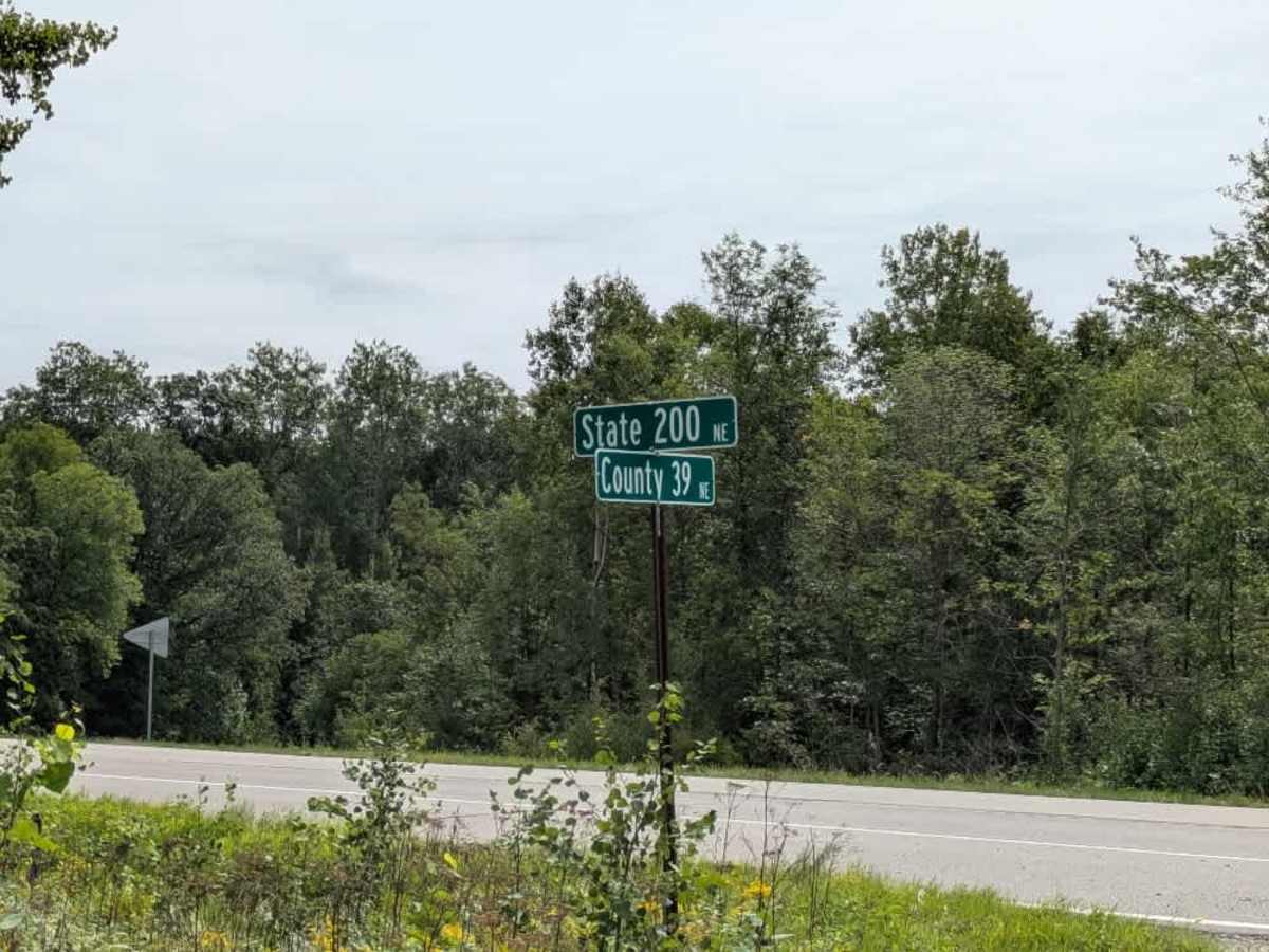
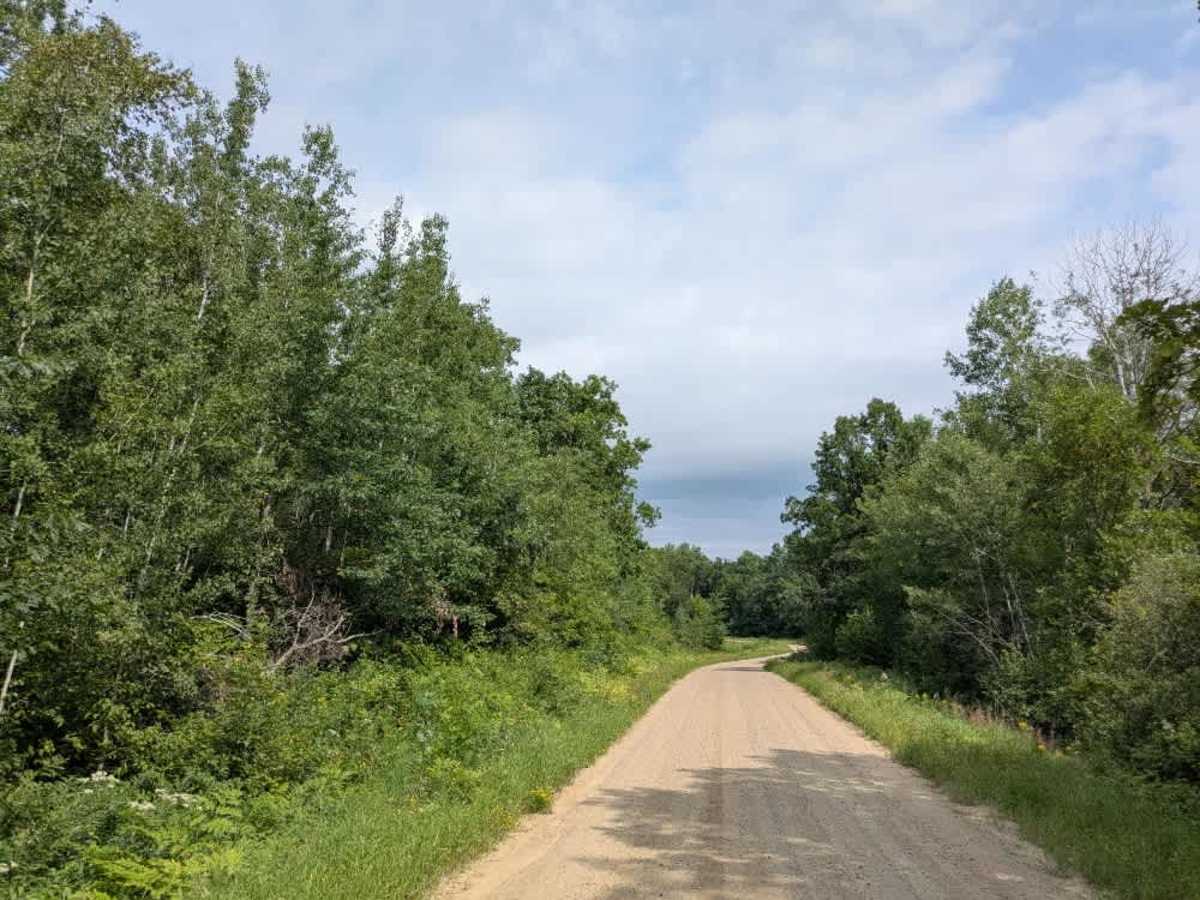
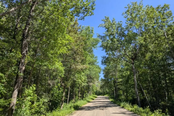
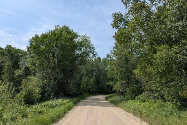
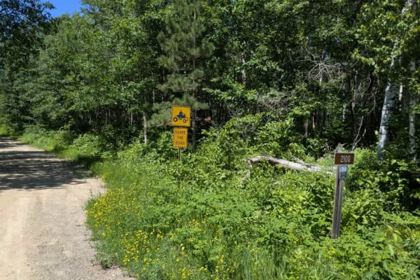
This trail provides access to the paved State 200 Road and follows a wide, well-maintained two-vehicle track composed of gravel and sand. It winds through forested terrain with a series of ascents and descents, making for a steady but manageable drive. Along the way, the route passes wetlands and small ponds, adding to the scenery, while alternating between shaded forest and more open views. Some residences are located near the trail, so caution is needed for local traffic that may be encountered. The drive is scenic, with alternating stretches of woods and occasional open areas, and it eventually leads out to a paved road. There are no dispersed or formal campsites along this trail, and no services such as trash disposal or potable water are provided. Cell phone service may be inconsistent or unavailable in places, so visitors should be prepared for limited connectivity. This is a straightforward and accessible forest trail that serves as a useful connector while offering modest opportunities for side exploration.
Difficulty
This forest trail is well-maintained and used daily by residents and adventurers. The route is wide and clear of debris, with established tread and minimal overgrowth, making it ideal for a smooth and scenic drive.