
Beginner Off-Road Trails
Near Long Lake, Wisconsin
Explore All Beginner Trails Near Long Lake, Wisconsin
Beginner Off-Road Trails Near Long Lake, Wisconsin
Discover the best beginner-friendly off-road trails near you. These easier, lower-rated trails are a great place to start — browse trail maps, check difficulty ratings, and find your next adventure.
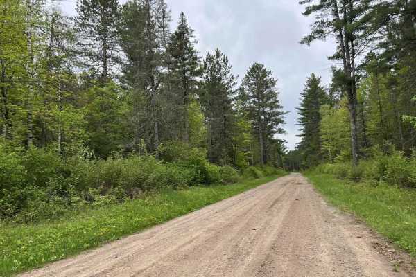
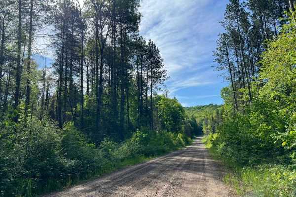
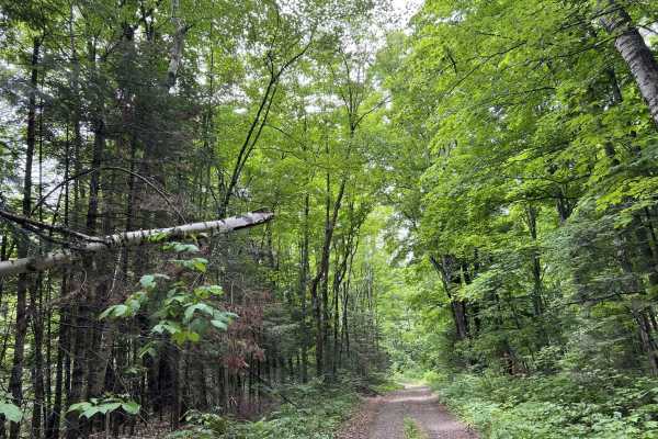
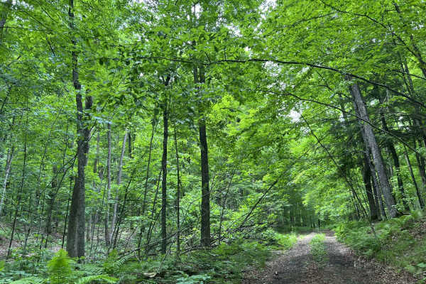
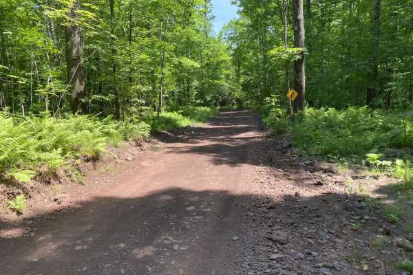
McArthur Pine FR 2167
This trail, like many others in the area, is a good mix of elevation changes as well as medium to long sweeping corners. Sight lines in these corners are also exceptional due to the extra runoff on each side of the trail. This trail is a great detour for ATV and SxS traffic traveling on the Nicolet ...
Learn more about McArthur Pine FR 2167
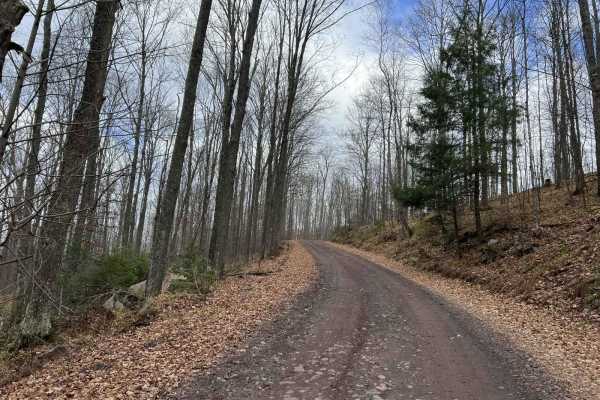
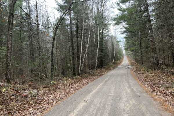
Long Lake Road - FS 2168
This route is a graded forest service road that runs East-West connecting State Highway 55 to State Highway 139. It is 6 miles of gravel that ends at pavement near Long Lake. This route is two lanes wide and well-maintained. This is a main connector to several smaller forest roads.
Learn more about Long Lake Road - FS 2168
FR 2408B
This trail is two miles out and two miles back with mixed gravel, dirt, and mud. The road was recently graded up to the 1.5-mile marker, after which it narrowed down to a very tight two- track. There are a couple of very gradual hills on this route but is overall a flat trail.
Learn more about FR 2408B
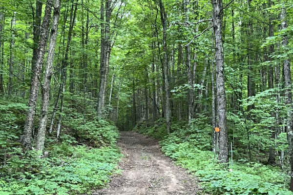
FR 2183 Eastern Section
This trail is the eastern portion of Forest Road 2183. This trail is wide with mostly long flowing corners. Elevation changes are subtle, noticeable, and enjoyable with a few larger elevation changes mixed in as well. This trail remains wide with exceptional sight lines throughout. The trail surface...
Learn more about FR 2183 Eastern Section
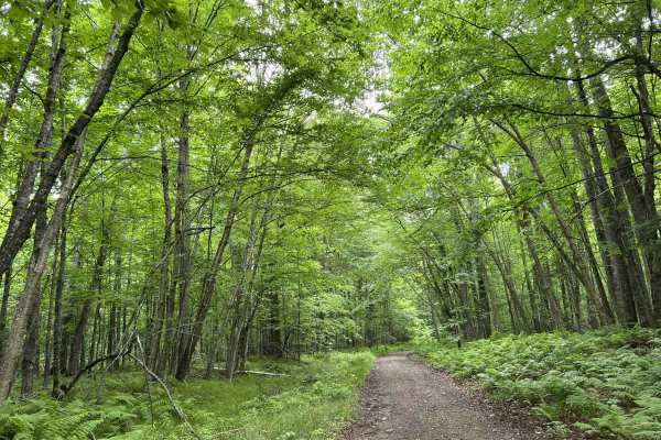
Jones Dam FR 2177
This trail runs from Divide Road to the Seven Hour Plane Crash Trail. This trail is an excellent mix of winding corners and large/medium hills. The landscape is made up of old-growth pine forests, as well as swamp/lowlands. Traveling from Divide Road, there will be a large levee/railroad grade that ...
Learn more about Jones Dam FR 2177
Double Bend FR 2166
This route runs from Highway 55 just north of the town of Argonne to the town of Newald, where the Nicolet National Trail intersects it (ATV/SxS use only). Entering this trail from Highway 55, this trail starts as straight wide-open gravel lanes. There are good elevation changes and sight lines are ...
Learn more about Double Bend FR 2166
Forest Road 2183 Western Section
This route will navigate to or from the southern portion of the Seven Hour Plane Crash Trail. It's open to ATVs, SxSs, and all licensed road vehicles. This trail will also navigate the southern edge of the nonmotorized Argonne Experimental Forest. This trail is great for anyone looking for a peacefu...
Learn more about Forest Road 2183 Western Section
Pine River FR 2182
This trail is a great mix of tighter winding corners opening up into longer sweeping corners. A good amount of elevation changes are mixed in as well. This trail will exit onto Highway 55 when running it west to east. If running it east to west, Highway 55 serves as a good starting point for road-go...
Learn more about Pine River FR 2182
FS 2376
FS 2376 is a there-and-back style trail which is accessed from its intersection with Highway 8. This trail has several offshoots along its way that can be used for some different scenery on either the way there or back. This trail has several different riding experiences depending on what portion of...
Learn more about FS 2376
FS 2376BA
FS 2376BA begins at its intersection with FS 2376 and navigates to its intersection with FS 2613. This is a tight two-track forest road; portions of this trail were originally converted from an old railroad grade, which means a good amount of the trail is elevated above the surrounding forest. It al...
Learn more about FS 2376BA
FS 2379
FS 2379 begins at its intersection with FS 2378 and navigates north to its intersection with Peshtigo River Road. This is a narrow, low-overhead clearance two-track trail. The trail's surface is mostly dirt with some small to medium-sized rocks protruding through the surface. There are several trees...
Learn more about FS 2379
Florence County Trail H- Northwoods Drive
This is a short trail that can be used to travel from the town of Fence to the town of Armstrong Creek. As well as access a large portion of the Florence and Marinette County trail systems. The trail surface is mostly dirt, as it winds through mature hardwood forests. Corners are tight in some areas...
Learn more about Florence County Trail H- Northwoods Drive
FS 2613
FS 2613 is a short spur trail that navigates from FS 2376 to FS 2376BA. The terrain on this trail is similar to that of other trails in this region. This is a two-track dirt trail with small to medium-sized rocks that protrude through the trail surface. There is a good mix of elevation and elevation...
Learn more about FS 2613
White Birch/ Firelane Road
This gravel road runs north to south, providing quick and convenient access to the La Salle Falls trail/ La Salle Falls road if traveling from the south. This trail has excellent sight lines since there is a lack of sharp corners. This trail still offers a good bit of scenery to look at while drivin...
Learn more about White Birch/ Firelane Road

Giant Pine FR 2414
This route runs through the heart of the Argonne Experimental Forest. This route is a great mix of wide winding trails as well as larger rolling hills. Views of the oncoming landscapes are limited by the natural canopy provided by the untouched and undisturbed forest. Nature/wildlife sightings are a...
Learn more about Giant Pine FR 2414
Stateline Route
This trail is a converted rail bed that runs east/west on the very north edge of the state. It is a nice dirt and gravel road with easy grades that connects Florence, Spread Eagle and Iron Mountain.
Learn more about Stateline Route
Florence County F6 North Horseshoe
This trail is a part of the Florence County F6 Trail. It is a newer trail not currently on the official ATV/SXS trail map as of 11/24. It is a small horseshoe that runs from intersection 18 to 19. This trail is very scenic, offering a lookout spot located 1/4Mi south of the intersection 18 trailhead...
Learn more about Florence County F6 North Horseshoe
Lake Emily to Spread Eagle
These trails are well maintained by the local clubs and get groomed weekly. Most of the trails are twisty sections with plenty of width for travel in both directions. There are many blind corners, so stay to the appropriate side of the trail. Most surfaces are either sand or gravel. A few short sect...
Learn more about Lake Emily to Spread Eagle

Florence County F15 North
This is the northernmost portion of the F15 Trail. It runs from intersection 10 to 10A. This trail was mapped on 11/24. The trail surface is primarily hard-packed red clay and gravel. If traveling from south to north, this trail will begin by running through several pine forests before entering a se...
Learn more about Florence County F15 North
Florence County F2 Lake Emily
This seven-mile stretch of trail runs along part of the Florence County F2 Trail. Starting at Intersection 18 and ending at Intersection 17. If traveling from Intersection 17 North, this trail will begin as hard-packed clay/ gravel, much like what many other trails in the area offer. Certain spots o...
Learn more about Florence County F2 Lake Emily
Beginner ATV trails near Long Lake, Wisconsin
Explore ATV-friendly trails near you. These trails are accessible for vehicles up to 50 inches wide, perfect for ATVs and smaller off-road machines.
McArthur Pine FR 2167
This trail, like many others in the area, is a good mix of elevation changes as well as medium to long sweeping corners. Sight lines in these corners are also exceptional due to the extra runoff on each side of the trail. This trail is a great detour for ATV and SxS traffic traveling on the Nicolet ...
Learn more about McArthur Pine FR 2167
FR 2183 Eastern Section
This trail is the eastern portion of Forest Road 2183. This trail is wide with mostly long flowing corners. Elevation changes are subtle, noticeable, and enjoyable with a few larger elevation changes mixed in as well. This trail remains wide with exceptional sight lines throughout. The trail surface...
Learn more about FR 2183 Eastern Section
Jones Dam FR 2177
This trail runs from Divide Road to the Seven Hour Plane Crash Trail. This trail is an excellent mix of winding corners and large/medium hills. The landscape is made up of old-growth pine forests, as well as swamp/lowlands. Traveling from Divide Road, there will be a large levee/railroad grade that ...
Learn more about Jones Dam FR 2177
Double Bend FR 2166
This route runs from Highway 55 just north of the town of Argonne to the town of Newald, where the Nicolet National Trail intersects it (ATV/SxS use only). Entering this trail from Highway 55, this trail starts as straight wide-open gravel lanes. There are good elevation changes and sight lines are ...
Learn more about Double Bend FR 2166
Beginner UTV/side-by-side trails near Long Lake, Wisconsin
Find UTV and side-by-side trails near you. These trails accommodate vehicles up to 60 inches wide, ideal for UTVs, side-by-sides, and wider off-road rigs.
McArthur Pine FR 2167
This trail, like many others in the area, is a good mix of elevation changes as well as medium to long sweeping corners. Sight lines in these corners are also exceptional due to the extra runoff on each side of the trail. This trail is a great detour for ATV and SxS traffic traveling on the Nicolet ...
Learn more about McArthur Pine FR 2167
FR 2183 Eastern Section
This trail is the eastern portion of Forest Road 2183. This trail is wide with mostly long flowing corners. Elevation changes are subtle, noticeable, and enjoyable with a few larger elevation changes mixed in as well. This trail remains wide with exceptional sight lines throughout. The trail surface...
Learn more about FR 2183 Eastern Section
Jones Dam FR 2177
This trail runs from Divide Road to the Seven Hour Plane Crash Trail. This trail is an excellent mix of winding corners and large/medium hills. The landscape is made up of old-growth pine forests, as well as swamp/lowlands. Traveling from Divide Road, there will be a large levee/railroad grade that ...
Learn more about Jones Dam FR 2177
Double Bend FR 2166
This route runs from Highway 55 just north of the town of Argonne to the town of Newald, where the Nicolet National Trail intersects it (ATV/SxS use only). Entering this trail from Highway 55, this trail starts as straight wide-open gravel lanes. There are good elevation changes and sight lines are ...
Learn more about Double Bend FR 2166
The onX Offroad Difference
onX Offroad combines trail photos, descriptions, difficulty ratings, width restrictions, seasonality, and more in a user-friendly interface. Available on all devices, with offline access and full compatibility with CarPlay and Android Auto. Discover what you're missing today!
Open Trail Map