
Beginner Off-Road Trails
Near Lithonia, Georgia
Explore All Beginner Trails Near Lithonia, Georgia
Beginner Off-Road Trails Near Lithonia, Georgia
Discover the best beginner-friendly off-road trails near you. These easier, lower-rated trails are a great place to start — browse trail maps, check difficulty ratings, and find your next adventure.
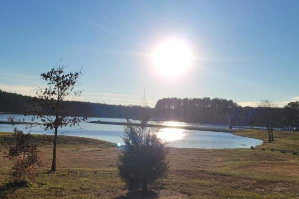
Charlie Elliott
Charlie Elliott Wildlife Center is a Georgia DNR. facility to promote wildlife education. The run classes for wildlife enthusiasts, hunters and fisherman. It adjoins the Clybel WMA and the Marben PFA, which provide several opportunities for hiking, camping, hunting and fishing. This trail is mostly ...
Learn more about Charlie Elliott
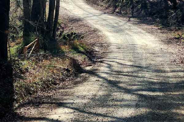
Murder Creek
This 3.2-mile trail winds through the Charlie Elliott Wildlife Center, offering a relaxing yet engaging ride over mostly gravel with stretches of dirt. Expect scattered potholes and occasional soft shoulders shaped by runoff. This is a well-maintained and traveled road, so be prepared for frequent s...
Learn more about Murder Creek
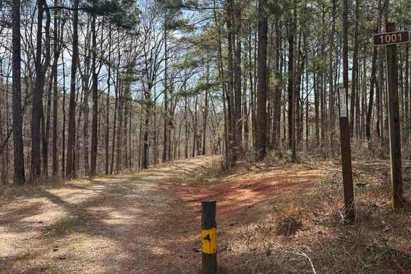
Smith Mill Road (FS 1001)
The trail begins as a graded gravel road with gentle curves and enough width for two vehicles to pass in most areas, with the entrance clearly marked by an FS 1001 sign. This section continues to a large turnaround capable of accommodating trailers, making it a convenient staging or regrouping point...
Learn more about Smith Mill Road (FS 1001)
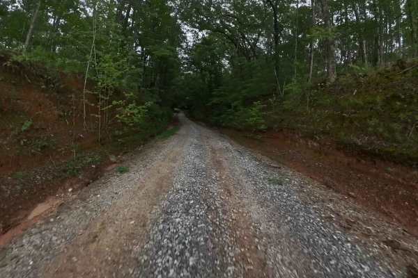
Monroe Tyler Road
This trail extends partly through the Oconee National Forest and showcases the characteristic terrain of the area—predominantly gravel with scattered water and mud holes that may vary in size depending on recent weather conditions. Portions of the route traverse private property, making it essential...
Learn more about Monroe Tyler Road
Lower Concord - FS 1017
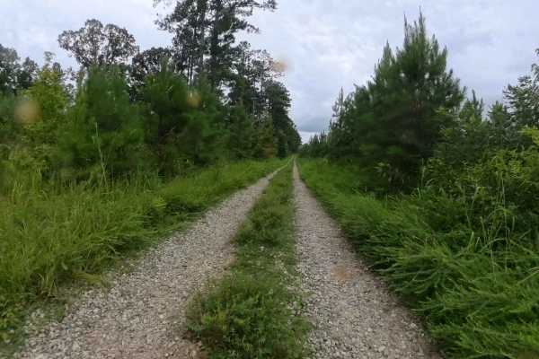
This out-and-back trail is situated within the Oconee National Forest and features a typical terrain for the area—primarily gravel with intermittent water and mud holes along the route. At the southern end of the trail, there is a large turnaround area. Beyond this point, the trail continues but nar...
Learn more about Lower Concord - FS 1017
Dan Gun - FS 1016
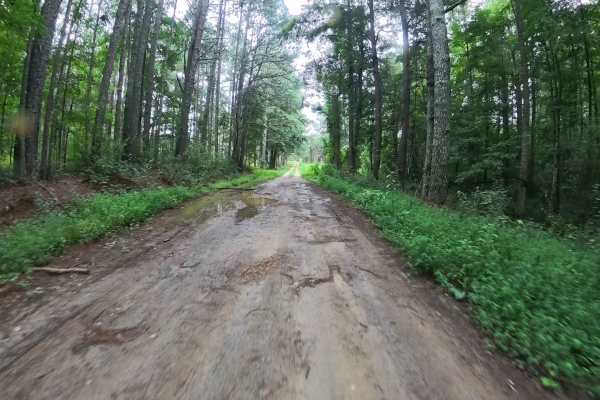
This trail winds its way through portions of the Oconee National Forest, offering visitors a firsthand experience of the region’s landscape. The route is composed primarily of gravel and some dirt/mud, with the occasional water puddles, mud holes, and minor washouts that can vary in depth and size d...
Learn more about Dan Gun - FS 1016
Harmon Rye - FS 1111
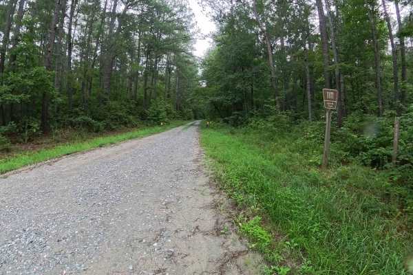
This trail meanders through sections of the Oconee National Forest, providing visitors with an immersive experience of the region’s natural landscape. Approximately halfway along the route, there is a quarter-mile stretch bordered by private property on both sides; visitors are advised to respect th...
Learn more about Harmon Rye - FS 1111
Saddler's Path
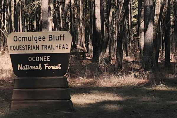
This beginner-friendly, two-way, through connector trail winds through a quiet equestrian corridor of gravel, sand, and packed dirt. Conditions are generally easy but can become slick and washed after rain, so steady driving is recommended. This trail runs through the Oconee National Forest and pass...
Learn more about Saddler's Path
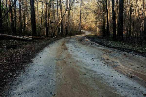
Upper Pope Trail
Wind through Oconee National Forest on this beginner-friendly trail that delivers terrain rarely found in the area. Rolling inclines, dips, and winding stretches reveal scenic ridge views as the route shifts between gravel, sand, and scattered rock shelves and can become slick after rain. Evidence ...
Learn more about Upper Pope Trail
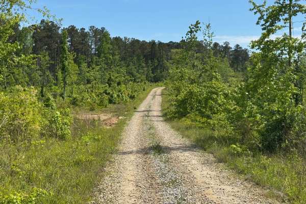
Little Gladesville - FS 1026
Little Gladesville Road is a bit of a contradiction since the Forest Service MVUM maps in topo mode show a quarter-mile-long lake at the end of the trail, but the satellite views do not show a lake. Little Gladesville, unfortunately, does not have a lake at the end. The area where the road ends is a...
Learn more about Little Gladesville - FS 1026
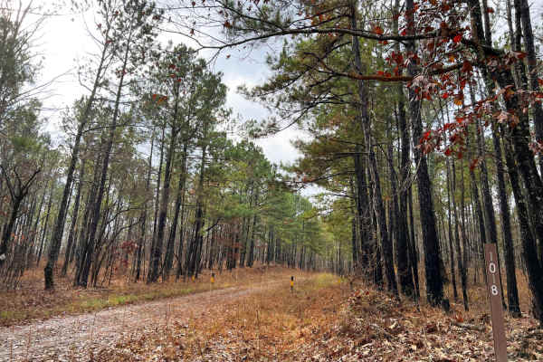
Pope Loop
Pope Loop is an easy meandering drive through southern pine forests with harvested areas creating ideal hunting locations. This loop is topped off with a designated dispersed hunt camp called Gladesville. Pope Loop is a well-maintained gravel road that has only a few potholes that hold water. They a...
Learn more about Pope Loop
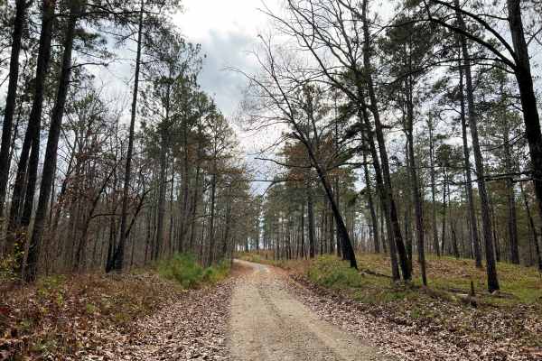
Scenic Juliette
Scenic Juliette stands true to its name, passing through highland forests of southern pines before slowly descending down to hardwood forest with revealing views of the Ocmulgee River. This fun drive is best started from the North in Ocmulgee National Forest before entering Piedmont National Wildlif...
Learn more about Scenic Juliette
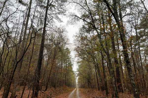
Ocmulgee Camp Loop
Ocmulgee Camp Loop is a great short trail of well-maintained gravel road with large-sized gravel chunks. It is complete with a nice dispersed camping area at the Ocmulgee multi-use trailhead for hiking, equestrian, and biking. The multi-use trail is a nice trail that follows the clean and clear Ocmu...
Learn more about Ocmulgee Camp Loop
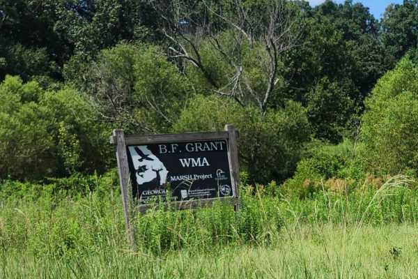
Hearnville Pond Trail
This 2.8-mile trail through B.F Grant Wildlife Management Area near Madison, Georgia, it winds through rolling farmland, open fields, ponds, creeks, and wetlands, ending at a fishing pond. The terrain includes a mixture of maintained gravel, packed clay, ruts, washouts, rock gardens, and sand. Weath...
Learn more about Hearnville Pond Trail
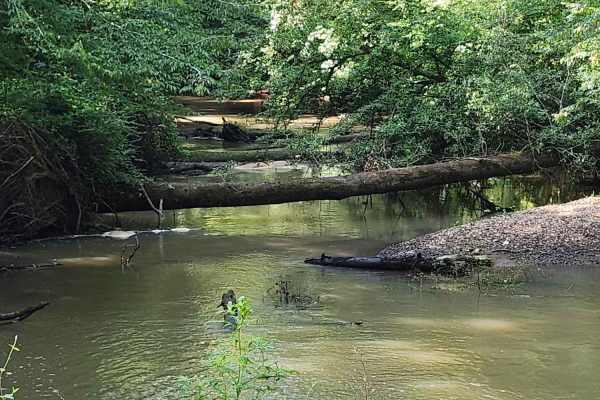
Indian Creek Trail
A 4.8-mile scenic passing trail through farmland, ponds, open fields, thick forest, and canopied wetlands. The route features a mixture of gravel, sand, and red clay with minor ruts, potholes, and washouts. Wetland sections can become thick and mucky even during dry weather; check ahead and use caut...
Learn more about Indian Creek Trail
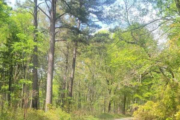
Felton McMichael Road
This route is gravel-covered throughout and a well-maintained road within the Oconee National Forest. It cuts between Lower Falling Circle Road and Starr Road. Minimal to no obstacles should be expected even when muddy conditions are present. It's passable by two-wheel drive vehicles with stock clea...
Learn more about Felton McMichael Road
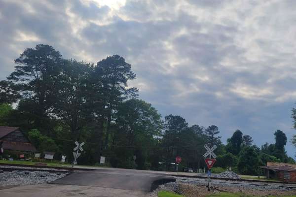
Oconee Southern Traverse - 1068 (Segment 2)
This portion of the Oconee forest has well maintained service roads throughout with minimal-to-no obstacles to encounter. Wildlife such as deer and turkey are often seen so situational awareness should be maintained while driving to ensure safe travel. While the majority of the route is gravel/dirt,...
Learn more about Oconee Southern Traverse - 1068 (Segment 2)
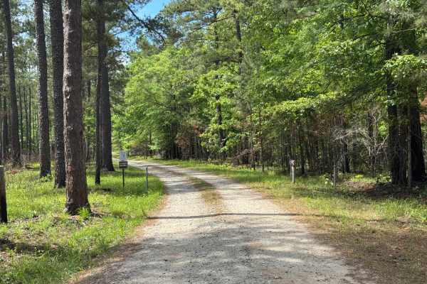
Pond 6a Road
Pond 6a Road is a short out-and-back single-lane trail within the Piedmont NWR leading to a nice fishing lake, Pond 6a. The lake is open to fishing from March 15th to September 30th each year, with other restrictions on licensing and limits. Pond 6a is a manmade lake retained by a small dike. The tr...
Learn more about Pond 6a Road
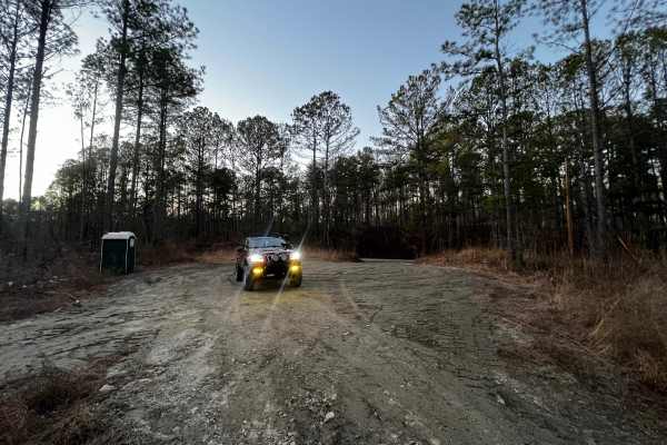
Etowah River Access
Trail access is located directly off Conns Creek Road. The entrance is not marked, and it is easy to miss the freshly graveled access point if you are not paying close attention. The trailhead includes a porta-potty before entering and proceeding down the trail. The trail itself is relatively short ...
Learn more about Etowah River Access
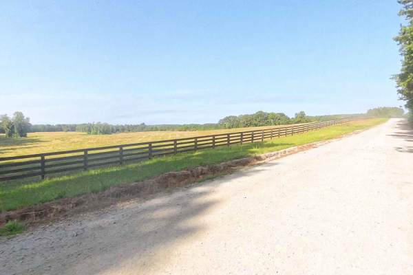
East Rocky Mountain Road
This is a county-maintained road, primarily gravel with some dirt sections where washouts have occurred. The road is generally smooth and suitable for most vehicles. It serves as an easy and scenic route, part of a network of back roads ideal for a relaxing day drive. Please note that while this is ...
Learn more about East Rocky Mountain Road
Beginner ATV trails near Lithonia, Georgia
Explore ATV-friendly trails near you. These trails are accessible for vehicles up to 50 inches wide, perfect for ATVs and smaller off-road machines.
Saddler's Path
This beginner-friendly, two-way, through connector trail winds through a quiet equestrian corridor of gravel, sand, and packed dirt. Conditions are generally easy but can become slick and washed after rain, so steady driving is recommended. This trail runs through the Oconee National Forest and pass...
Learn more about Saddler's Path
Upper Pope Trail
Wind through Oconee National Forest on this beginner-friendly trail that delivers terrain rarely found in the area. Rolling inclines, dips, and winding stretches reveal scenic ridge views as the route shifts between gravel, sand, and scattered rock shelves and can become slick after rain. Evidence ...
Learn more about Upper Pope Trail
Hearnville Pond Trail
This 2.8-mile trail through B.F Grant Wildlife Management Area near Madison, Georgia, it winds through rolling farmland, open fields, ponds, creeks, and wetlands, ending at a fishing pond. The terrain includes a mixture of maintained gravel, packed clay, ruts, washouts, rock gardens, and sand. Weath...
Learn more about Hearnville Pond Trail
Hitchiti
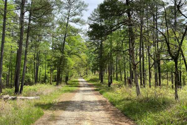
Hitchiti is a well-maintained gravel trail. There's a bridge over scenic Falling Creek just after you pass through the gate. The trail then winds through an experimental demonstration area, mostly pines, where the US Forest Service evaluates various methods for sustaining and managing forests. The t...
Learn more about Hitchiti
Beginner UTV/side-by-side trails near Lithonia, Georgia
Find UTV and side-by-side trails near you. These trails accommodate vehicles up to 60 inches wide, ideal for UTVs, side-by-sides, and wider off-road rigs.
Saddler's Path
This beginner-friendly, two-way, through connector trail winds through a quiet equestrian corridor of gravel, sand, and packed dirt. Conditions are generally easy but can become slick and washed after rain, so steady driving is recommended. This trail runs through the Oconee National Forest and pass...
Learn more about Saddler's Path
Upper Pope Trail
Wind through Oconee National Forest on this beginner-friendly trail that delivers terrain rarely found in the area. Rolling inclines, dips, and winding stretches reveal scenic ridge views as the route shifts between gravel, sand, and scattered rock shelves and can become slick after rain. Evidence ...
Learn more about Upper Pope Trail
Hearnville Pond Trail
This 2.8-mile trail through B.F Grant Wildlife Management Area near Madison, Georgia, it winds through rolling farmland, open fields, ponds, creeks, and wetlands, ending at a fishing pond. The terrain includes a mixture of maintained gravel, packed clay, ruts, washouts, rock gardens, and sand. Weath...
Learn more about Hearnville Pond Trail
Indian Creek Trail
A 4.8-mile scenic passing trail through farmland, ponds, open fields, thick forest, and canopied wetlands. The route features a mixture of gravel, sand, and red clay with minor ruts, potholes, and washouts. Wetland sections can become thick and mucky even during dry weather; check ahead and use caut...
Learn more about Indian Creek Trail
The onX Offroad Difference
onX Offroad combines trail photos, descriptions, difficulty ratings, width restrictions, seasonality, and more in a user-friendly interface. Available on all devices, with offline access and full compatibility with CarPlay and Android Auto. Discover what you're missing today!
Open Trail Map