
Beginner Off-Road Trails
Near Lake of the Woods, California
Explore All Beginner Trails Near Lake of the Woods, California
Beginner Off-Road Trails Near Lake of the Woods, California
Discover the best beginner-friendly off-road trails near you. These easier, lower-rated trails are a great place to start — browse trail maps, check difficulty ratings, and find your next adventure.
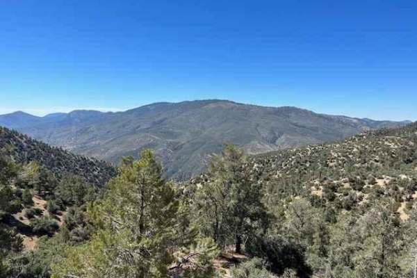
Tecuya Mountain Run
Fun trail that takes you to the top of Tecuya Mountain with great 360-degree views of the area. Access via Cold Springs Canyon trail (20W04) for a great uphill warm-up. Once leaving the peak of Tecuya Mountain and heading east, this trail (19W01) is only accessible by dirt bike due to width-limiting...
Learn more about Tecuya Mountain Run
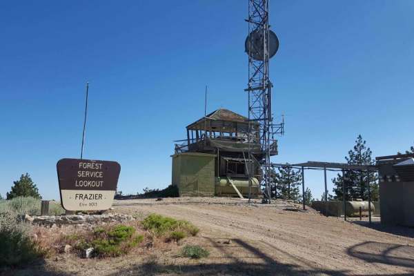
Frazier Mountain Rd - FS 8N04
This is a point-to-point trail leading from Lockwood Valley Rd to the top of the Frazier Mountain, where there is an old abandoned Lookout Tower and Cellular Commuication structures. From Lockwood Valley Rd, the trail begins as an asphault road as it passes by Forest Service headquarter buildings an...
Learn more about Frazier Mountain Rd - FS 8N04
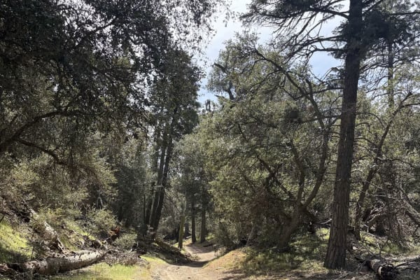
Cherry Creek - FS 20W14
Descending the road down to Cherry Creek campsite, where there are two fire pits and very peaceful scenery. This road follows the drainage down to the campsite and has one steeper descent at 18 degrees. A slower but calm trail, sure to get you away from the main path. The road ends at the campground...
Learn more about Cherry Creek - FS 20W14
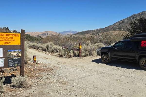
Edison Road (9N01) / Picnic Peak
This trail is usually well taken care of and is a very easy trail. 2WD will get you to the end and back, but you may slip, and/or traction control may kick on due to steep grades. You will find yourself winding through the trees and forest as you climb up to a height of 5,529 feet at the highest par...
Learn more about Edison Road (9N01) / Picnic Peak
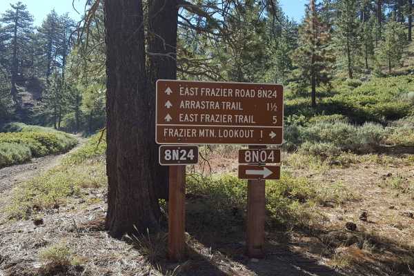
East Frazier Road - FS 8N24
This is a point-to-point trail for dirt bike riders transitioning between the East Frazier Trail (dirt bikes only) and Frazier Mountain trails or an out-and-back trail for all other vehicles. The surface is primarily graded dirt, but there are occasional smaller embedded rocks, exposed tree roots, a...
Learn more about East Frazier Road - FS 8N24
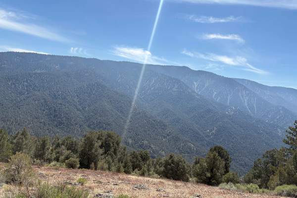
West Tecuya - FS 9N19
A straightforward dirt road following the south side of the mountain, offering some great views of Cuddy Valley. This ends at a dirt circle at the mountain top with some small foot or bike trails afterwards, and is a nice palate cleanser after a few of the more narrow trips through the drainage road...
Learn more about West Tecuya - FS 9N19
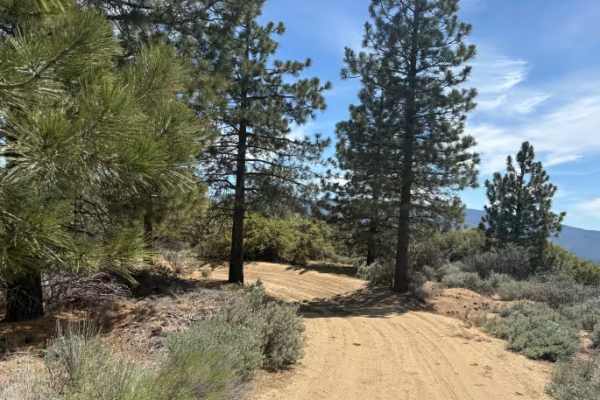
Tecuya Ace - FS 9N22
This is a wide dirt road that grants access to a few more trails of varying difficulty. There are also numerous dirt bike trails back in this area, as well as a dirt parking lot at the entrance. Gated access is season-dependent. There is a deeper washout across the road before the gate, which will r...
Learn more about Tecuya Ace - FS 9N22
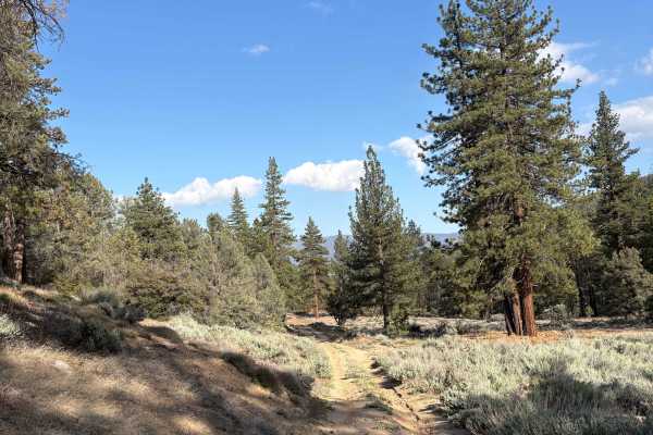
Mill Canyon - FS 9N04
Shelf road for the first half winding down into a pretty nice and quiet valley. There road is fairly easy but the shelf grade to the side of the first half is steep and may make novice drivers nervous. There is a large fallen tree towards the end that you could get around, however the road ends at a...
Learn more about Mill Canyon - FS 9N04
Seymour Creek - FS 8N05
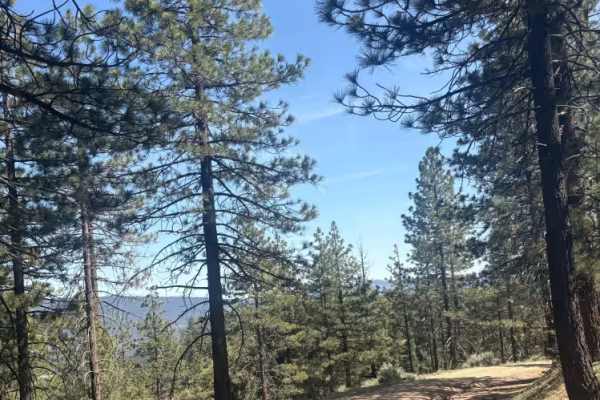
Probably the best views from any trail in the area, this road winds down the side of the mountain to a scrub bush flat with a few fire pits along the way. On the trip, you will cross a small creek that I think may be the only year-round running water in the area, but it is never more than a trickle....
Learn more about Seymour Creek - FS 8N05
Powerline Road
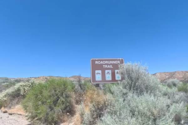
Powerline Road is a smooth and highly accessible 2.2-mile two-way Green Circle dirt connector trail running directly beneath a dramatic high-voltage transmission line corridor in the Hungry Valley State Vehicular Recreation Area. The trail begins off the paved Gold Hill Road at a signed entry gate w...
Learn more about Powerline Road
Badger Trail
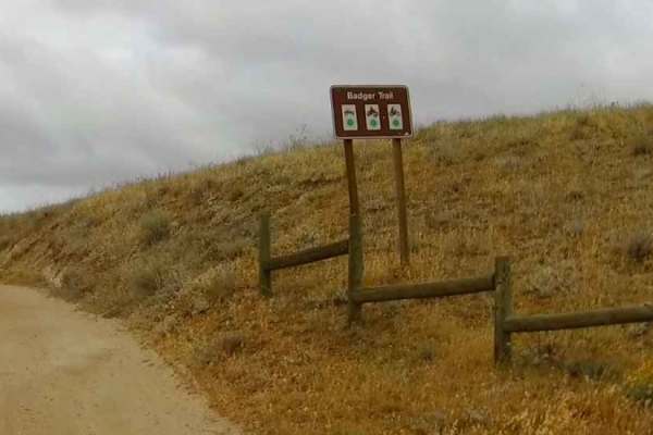
The Badger Trail is a short out-and-back trail located in the Hungry Valley SVRA. It starts at GPS coordinate N34.79207° W118.87997° and can be accessed from the Stipa Trail on the North. It provides access to the Power Line Road that traverses through the SVRA. You can stage directly to the righ...
Learn more about Badger Trail
Condor Trail
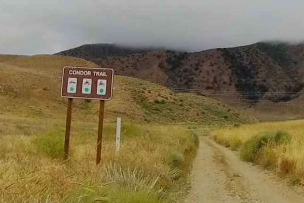
The Condor Trail is located within the Hungry Valley SVRA and can be accessed from the North via the Stipa Trail. It starts at GPS coordinates N34.79368° W118.88718°. This is an out-and-back trail that is 1.6 miles in length. It crosses the Power Line Road at .42 miles. It has a large turnaround...
Learn more about Condor Trail
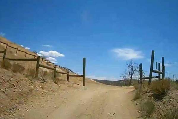
Sterling Canyon Trail
The Sterling Canyon Trail can be accessed from the North by taking the Old Cottonwood Trail for .15 of a mile (GPS Coordinates N34.77932° W118.88355°), or from the South at the Intersection with the street-legal Gold Hill Road (GPS coordinates N34.76662° W118.87774°). The trail is 1.9 miles in leng...
Learn more about Sterling Canyon Trail
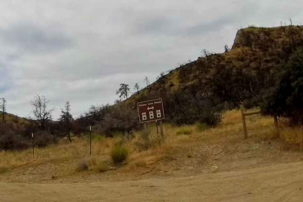
Power Line Road - East
This section of the Power Line Road starts at the intersection with the Edison Canyon Trail at GPS coordinates N34.77827° W118.87164°. The trail is 3.6 miles in length and ends at GPS coordinates N34.77422° W118.83203°. The trail is wide with a hard pack surface. It rises slightly in elevation bef...
Learn more about Power Line Road - East
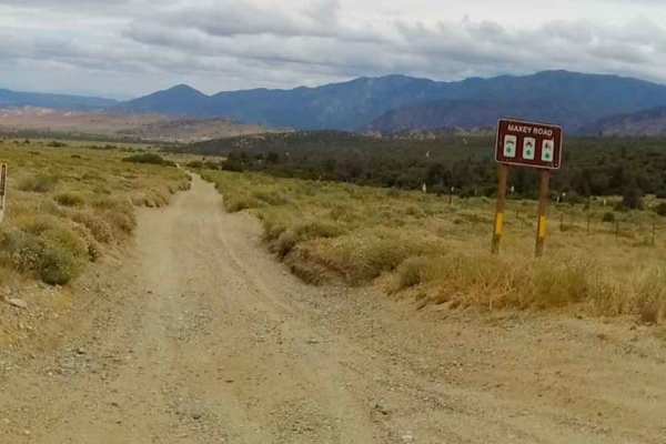
Maxey Ranch Road
The Maxey Ranch Road is located within the Hungry Valley SVRA. It is 1.7 miles long and begins at the intersections of The Meadows Trail and the Old Cottonwood Trails at GPS coordinates N34.75937° W118.89924°. While most of this trail is wide enough for two full-size vehicles to pass side by side,...
Learn more about Maxey Ranch Road
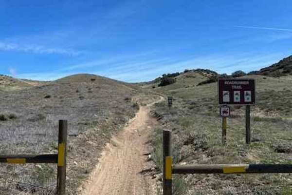
North Roadrunner Trail
Fun quad and dirt bike-only trail in the north area of Hungry Valley. Riding this trail south to north, you will pick up where the main section of Roadrunner meets Rattler Trail. Most of the Roadrunner trail in the rest of the park to the south is accessible to all vehicles, but this section is for ...
Learn more about North Roadrunner Trail
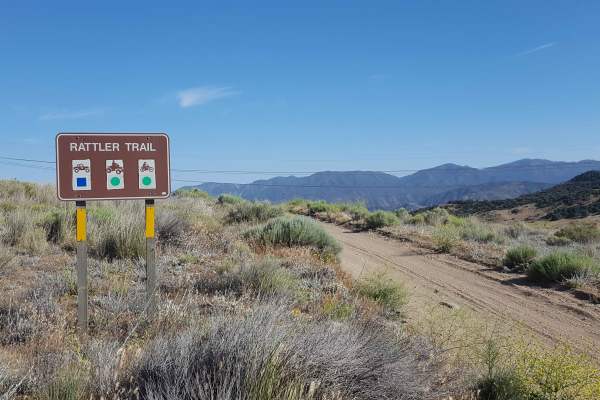
Rattler Trail
This is a point-to-point OHV trail running lengthwise through the Hungry Valley SVRA. The trail is accessible from either end and at multiple places along its route where it intersects with other trails in the area. From the north end, the trail begins as a one-lane, packed dirt road with frequent a...
Learn more about Rattler Trail
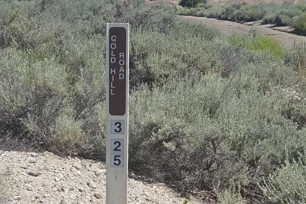
Gold Hill Road - FS 8N01
This is the main artery road through the center of Hungry Valley SVRA and up into the Los Padres National Forest around Alamo Mountain. It is a point-to-point route. The road up to the end of Alamo Mountain is restricted to street-legal vehicles because it is classified as a public road. The first f...
Learn more about Gold Hill Road - FS 8N01
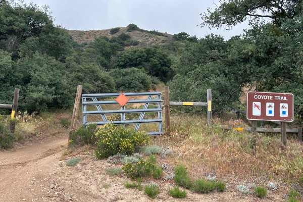
Coyote Trail
Short fun route for dirt bikes and quads. Halfway, there is a great vista that overlooks the south end of the park. This is a two-way trail, so keep an eye out for oncoming traffic and low-hanging branches. The trail is fun in both directions, with a climb first, then downhill on the second half as ...
Learn more about Coyote Trail
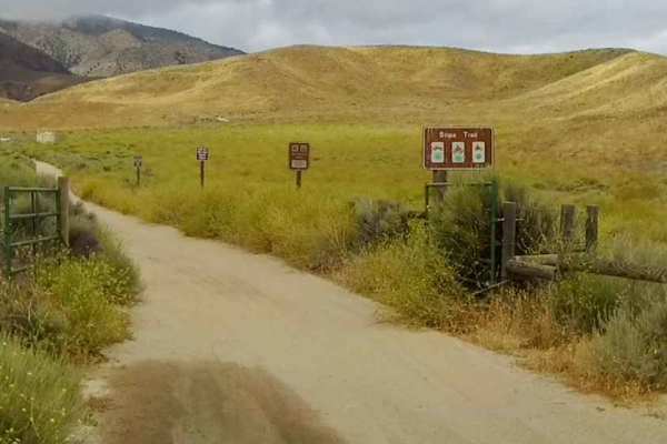
Stipa Trail
The Stipa Trail is a great place to start your ride in the Hungry Valley SVRA if you are there for a day ride. You can stage at the parking lot just past the entrance kiosk. This is an out & back trail (1.8 miles), but provides access to the Power Line Road - West, which can take you into the midd...
Learn more about Stipa Trail
Beginner ATV trails near Lake of the Woods, California
Explore ATV-friendly trails near you. These trails are accessible for vehicles up to 50 inches wide, perfect for ATVs and smaller off-road machines.
Frazier Mountain Rd - FS 8N04
This is a point-to-point trail leading from Lockwood Valley Rd to the top of the Frazier Mountain, where there is an old abandoned Lookout Tower and Cellular Commuication structures. From Lockwood Valley Rd, the trail begins as an asphault road as it passes by Forest Service headquarter buildings an...
Learn more about Frazier Mountain Rd - FS 8N04
Cherry Creek - FS 20W14
Descending the road down to Cherry Creek campsite, where there are two fire pits and very peaceful scenery. This road follows the drainage down to the campsite and has one steeper descent at 18 degrees. A slower but calm trail, sure to get you away from the main path. The road ends at the campground...
Learn more about Cherry Creek - FS 20W14
Edison Road (9N01) / Picnic Peak
This trail is usually well taken care of and is a very easy trail. 2WD will get you to the end and back, but you may slip, and/or traction control may kick on due to steep grades. You will find yourself winding through the trees and forest as you climb up to a height of 5,529 feet at the highest par...
Learn more about Edison Road (9N01) / Picnic Peak
East Frazier Road - FS 8N24
This is a point-to-point trail for dirt bike riders transitioning between the East Frazier Trail (dirt bikes only) and Frazier Mountain trails or an out-and-back trail for all other vehicles. The surface is primarily graded dirt, but there are occasional smaller embedded rocks, exposed tree roots, a...
Learn more about East Frazier Road - FS 8N24
Beginner UTV/side-by-side trails near Lake of the Woods, California
Find UTV and side-by-side trails near you. These trails accommodate vehicles up to 60 inches wide, ideal for UTVs, side-by-sides, and wider off-road rigs.
Frazier Mountain Rd - FS 8N04
This is a point-to-point trail leading from Lockwood Valley Rd to the top of the Frazier Mountain, where there is an old abandoned Lookout Tower and Cellular Commuication structures. From Lockwood Valley Rd, the trail begins as an asphault road as it passes by Forest Service headquarter buildings an...
Learn more about Frazier Mountain Rd - FS 8N04
Cherry Creek - FS 20W14
Descending the road down to Cherry Creek campsite, where there are two fire pits and very peaceful scenery. This road follows the drainage down to the campsite and has one steeper descent at 18 degrees. A slower but calm trail, sure to get you away from the main path. The road ends at the campground...
Learn more about Cherry Creek - FS 20W14
Edison Road (9N01) / Picnic Peak
This trail is usually well taken care of and is a very easy trail. 2WD will get you to the end and back, but you may slip, and/or traction control may kick on due to steep grades. You will find yourself winding through the trees and forest as you climb up to a height of 5,529 feet at the highest par...
Learn more about Edison Road (9N01) / Picnic Peak
East Frazier Road - FS 8N24
This is a point-to-point trail for dirt bike riders transitioning between the East Frazier Trail (dirt bikes only) and Frazier Mountain trails or an out-and-back trail for all other vehicles. The surface is primarily graded dirt, but there are occasional smaller embedded rocks, exposed tree roots, a...
Learn more about East Frazier Road - FS 8N24
The onX Offroad Difference
onX Offroad combines trail photos, descriptions, difficulty ratings, width restrictions, seasonality, and more in a user-friendly interface. Available on all devices, with offline access and full compatibility with CarPlay and Android Auto. Discover what you're missing today!
Open Trail Map