
Beginner Off-Road Trails
Near Idaho City, Idaho
Explore All Beginner Trails Near Idaho City, Idaho
Beginner Off-Road Trails Near Idaho City, Idaho
Discover the best beginner-friendly off-road trails near you. These easier, lower-rated trails are a great place to start — browse trail maps, check difficulty ratings, and find your next adventure.

Idaho City to Horseshoe Bend Road
This 30.1-mile point-to-point road crosses over the Salmon River Mountains from Idaho City to Horseshoe Bend. This road gives access to hundreds of miles of off-roading, hiking, and mountain bike trails in the Boise National Forest. This road is well maintained and is passable by any 4WD and 2WD veh...
Learn more about Idaho City to Horseshoe Bend Road
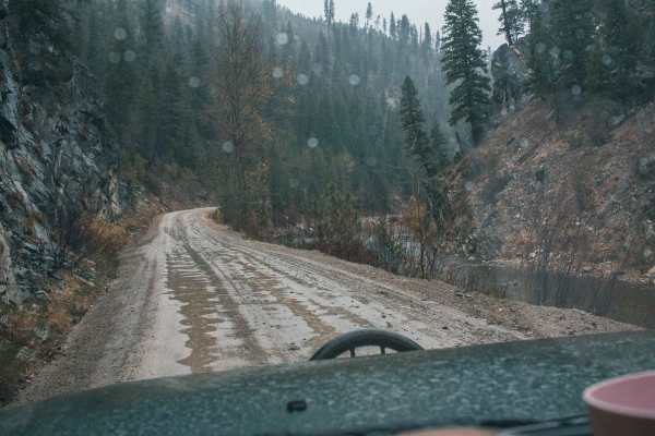
Rabbit Creek Road
Rabbit Creek Road is an ideal scenic mountain drive for adventurers of all skill levels looking to explore the beautiful Boise National Forest just outside of Idaho City. Starting off Highway 21, this easy dirt and gravel road winds through pine forests and climbs over Rabbit Creek Summit, offering ...
Learn more about Rabbit Creek Road
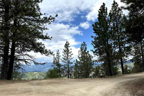
Grimes Pass Road
This 14.9-mile point-to-point trail takes you up to the top of Grimes Pass at 4835 FT. Starting from the south end it is a gentle climb of around 750 FT to the top of the Pass. Starting from the north end it is a steep climb of 1500 FT to the top of the Pass. Many other trails connect to this road f...
Learn more about Grimes Pass Road
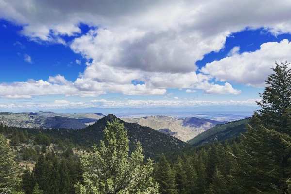
Harris Creek Trail
This 13.9-mile point-to-point trail connects the Bogus Basin area to the Harris Creek area. Stop at 3.5 miles from Bogus Basin and hike out to Coyote Rock, or stop at 7.4 miles from Bogus Basin and check out Sugarloaf Rock. There are several other hiking trails to explore along this route. There is ...
Learn more about Harris Creek Trail
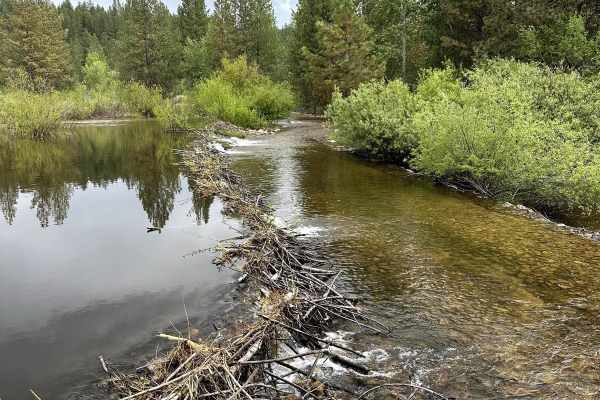
Missouri Mine Trail
This 8.7-mile point-to-point trail starts at the top of Grimes Pass and heads back down to Pioneerville. This fun short trail is passable by High-clearance 4X4 vehicles but has a lot of overgrowths that may cause pin-stripping. This trail has several sharp switchbacks as you leave the ridge line for...
Learn more about Missouri Mine Trail
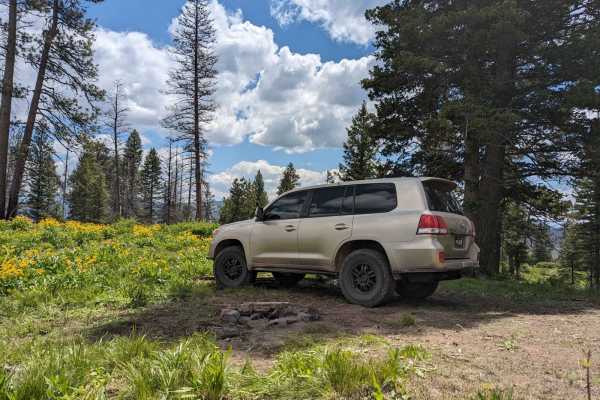
Spur 25LM/25LL to Mountain Campsite
This short trail ascends to a campsite with a fire ring up in the Ponderosa Pines. This trail can also connect to the Whoop-Um-Up Loop trail. We found this trail to have less traffic and no other campers. The trail is an easy single-lane track that any high-clearance AWD or 4x4 can take on.
Learn more about Spur 25LM/25LL to Mountain Campsite
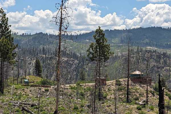
Lamar Creek Road 25M (Rocky Ridge Yurt)
Trail 25M takes you up to Rocky Ridge Yurt which can be booked in Summer and Winter via www.reserveamerica.com. In winter you can hike/snowshoe/snowmobile in and in Summer it's a 1.2 Mile drive to the gate and a 100-yard walk to the Yurt. This short trail is beautiful and has several camp spots alon...
Learn more about Lamar Creek Road 25M (Rocky Ridge Yurt)
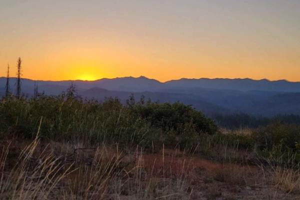
Whoop Um Up Trail
The Whoop Um Up is an out and back trail in Boise National Forest in Idaho. This trail offers incredible views of the surrounding mountains, especially as the elevation climbs. There's many campsites to the south, while the higher campsites to the north are exceptional. There's no technical obstacle...
Learn more about Whoop Um Up Trail
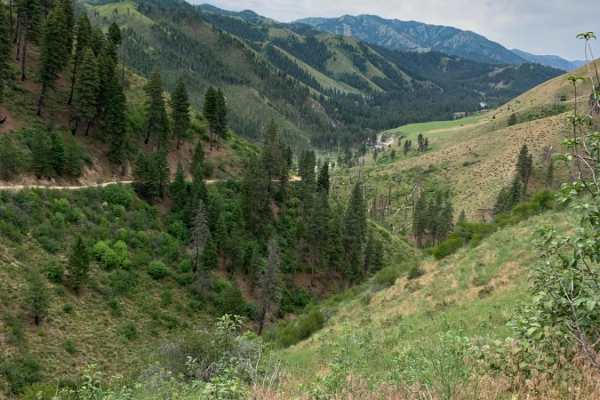
Barber Flat
Barber Flat OHV Trail is an easy, scenic 5-mile mountain pass in the Boise National Forest, making it perfect for beginners and those seeking scenic river views without technical challenges. Connecting the North Fork and Middle Fork Boise River valleys, this narrow, single-vehicle dirt road climbs f...
Learn more about Barber Flat
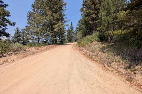
Road 374 - Southern Portion
This road is easily navigable by all vehicle sizes. Just be aware that it's a single-lane road and you may encounter other vehicles traveling from the opposite direction. The road is mostly sand with a few sections that are rocky. Staying on Road 374 will bring you to a fork in the road. Turning lef...
Learn more about Road 374 - Southern Portion
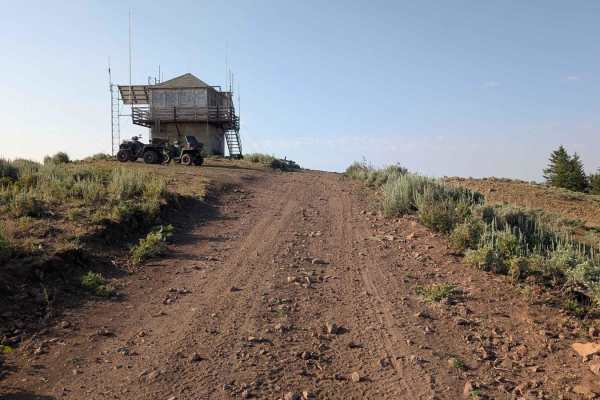
Road 3740 - Hawley Mountain Lookout
This road takes off from Road 374. It's a short ride to Hawley Mountain Lookout. The road is rocky, rutted, and has some steeper sections to navigate. Even though it's short, it's a fun ride with the reward of seeing a 1935 fire lookout and 360-degree views of the area.
Learn more about Road 3740 - Hawley Mountain Lookout
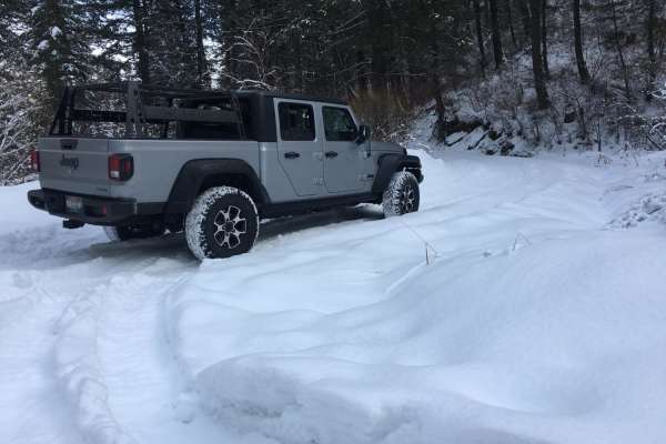
Rocky Canyon Road
Pretty simple road during the summer months that cuts over to Robbie Creek. A nice alternate route to Hwy 21, or a good road to access the ridge road. The winter months can vary depending on snowpack. It is not maintained east of the summit. Full size vehicles would be a handful in spots, and the ea...
Learn more about Rocky Canyon Road
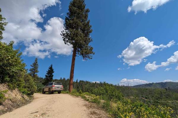
Gold Fork Loop 393 (China Fork West Fork)
This loop begins at the Gold Fork Park and Ski area. The loop takes you through some remote and seldom traveled areas with many camp areas along the route. It also takes you by the "Hennessy Yurt" which is a remote yurt you can rent in winter or summer at www.reserveamerica.com. In summer you can pa...
Learn more about Gold Fork Loop 393 (China Fork West Fork)
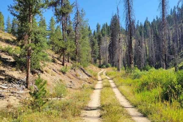
Skyline Trail
The Skyline Trail is an out and back trail in Boise National Forest in Idaho. It could give access to the rest of the Skyline Trail when the gate to the east is unlocked, however the gate gave no mention of when that may be. This trail offers incredible views of the surrounding mountains, especially...
Learn more about Skyline Trail

North Fork River Road
Do you like long drives on a dirt road, river views, and hot springs? This road is for you! Enjoy a dirt road that follows along the Boise River. It is possible to do this in any vehicle as long as there is no snow or heavy rainstorms. During heavy rainstorms, this road could become dangerous with f...
Learn more about North Fork River Road
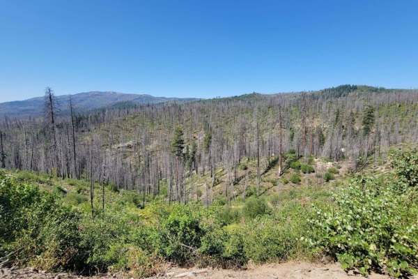
Skyline Spur
The Skyline Spur is an out-and-back trail in Boise National Forest in Idaho. This trail offers incredible views of the surrounding mountains, especially as the elevation climbs. Campsites could be found with creativity. There are no technical obstacles, although speed bumps are throughout the trail....
Learn more about Skyline Spur
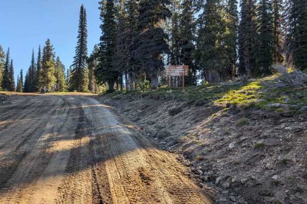
Forest Service Road 555 (FS 555) Scott Mtn-Deadwood
The starting point at this end of FS 555 (Scott Mtn-Deadwood) is on Hwy 17 (Banks-Lowman Hwy). There is a nice-sized parking area on Hwy 17 for unloading and loading rigs. It's a short drive of about 30 yards from the parking area to FS 555. Be aware of traffic on the highway as you cross. FS 555 im...
Learn more about Forest Service Road 555 (FS 555) Scott Mtn-Deadwood
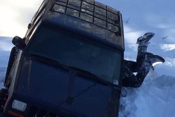
Boise Ridge Road
Boise Ridge Road is a scenic, moderate forest service route ideal for high-clearance 4x4s, side-by-sides, and dirt bikes looking for expansive ridgeline views overlooking Boise, Idaho. Stretching over 11 miles and reaching a peak elevation of 6,509 feet, this unpaved route connects the high-country ...
Learn more about Boise Ridge Road
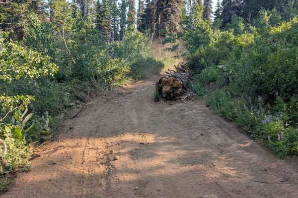
Spur 374BD
Road 374BD is a spur off of Road 374. The road is mainly dirt with sand. Some areas have rocks under 6 inches. There are ruts throughout this route. The road is one lane. Although it is wide enough for full-sized vehicles, there were large sections of fallen trees that could inhibit larger vehicles ...
Learn more about Spur 374BD

Roaring River Road - FS 255
The trail begins past the bridge of the South Fork of the Boise Middle Fork River. You get a good view of the Roaring River below in the gorge at the start. There are a few dispersed campsites along the way before reaching the trailhead that leads you to Trinity Lakes if you're interested in hiking ...
Learn more about Roaring River Road - FS 255
Beginner ATV trails near Idaho City, Idaho
Explore ATV-friendly trails near you. These trails are accessible for vehicles up to 50 inches wide, perfect for ATVs and smaller off-road machines.
Idaho City to Horseshoe Bend Road
This 30.1-mile point-to-point road crosses over the Salmon River Mountains from Idaho City to Horseshoe Bend. This road gives access to hundreds of miles of off-roading, hiking, and mountain bike trails in the Boise National Forest. This road is well maintained and is passable by any 4WD and 2WD veh...
Learn more about Idaho City to Horseshoe Bend Road
Rabbit Creek Road
Rabbit Creek Road is an ideal scenic mountain drive for adventurers of all skill levels looking to explore the beautiful Boise National Forest just outside of Idaho City. Starting off Highway 21, this easy dirt and gravel road winds through pine forests and climbs over Rabbit Creek Summit, offering ...
Learn more about Rabbit Creek Road
Grimes Pass Road
This 14.9-mile point-to-point trail takes you up to the top of Grimes Pass at 4835 FT. Starting from the south end it is a gentle climb of around 750 FT to the top of the Pass. Starting from the north end it is a steep climb of 1500 FT to the top of the Pass. Many other trails connect to this road f...
Learn more about Grimes Pass Road
Harris Creek Trail
This 13.9-mile point-to-point trail connects the Bogus Basin area to the Harris Creek area. Stop at 3.5 miles from Bogus Basin and hike out to Coyote Rock, or stop at 7.4 miles from Bogus Basin and check out Sugarloaf Rock. There are several other hiking trails to explore along this route. There is ...
Learn more about Harris Creek Trail
Beginner UTV/side-by-side trails near Idaho City, Idaho
Find UTV and side-by-side trails near you. These trails accommodate vehicles up to 60 inches wide, ideal for UTVs, side-by-sides, and wider off-road rigs.
Idaho City to Horseshoe Bend Road
This 30.1-mile point-to-point road crosses over the Salmon River Mountains from Idaho City to Horseshoe Bend. This road gives access to hundreds of miles of off-roading, hiking, and mountain bike trails in the Boise National Forest. This road is well maintained and is passable by any 4WD and 2WD veh...
Learn more about Idaho City to Horseshoe Bend Road
Rabbit Creek Road
Rabbit Creek Road is an ideal scenic mountain drive for adventurers of all skill levels looking to explore the beautiful Boise National Forest just outside of Idaho City. Starting off Highway 21, this easy dirt and gravel road winds through pine forests and climbs over Rabbit Creek Summit, offering ...
Learn more about Rabbit Creek Road
Grimes Pass Road
This 14.9-mile point-to-point trail takes you up to the top of Grimes Pass at 4835 FT. Starting from the south end it is a gentle climb of around 750 FT to the top of the Pass. Starting from the north end it is a steep climb of 1500 FT to the top of the Pass. Many other trails connect to this road f...
Learn more about Grimes Pass Road
Harris Creek Trail
This 13.9-mile point-to-point trail connects the Bogus Basin area to the Harris Creek area. Stop at 3.5 miles from Bogus Basin and hike out to Coyote Rock, or stop at 7.4 miles from Bogus Basin and check out Sugarloaf Rock. There are several other hiking trails to explore along this route. There is ...
Learn more about Harris Creek Trail
The onX Offroad Difference
onX Offroad combines trail photos, descriptions, difficulty ratings, width restrictions, seasonality, and more in a user-friendly interface. Available on all devices, with offline access and full compatibility with CarPlay and Android Auto. Discover what you're missing today!
Open Trail Map