Trail Overview
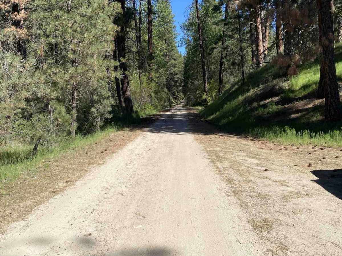
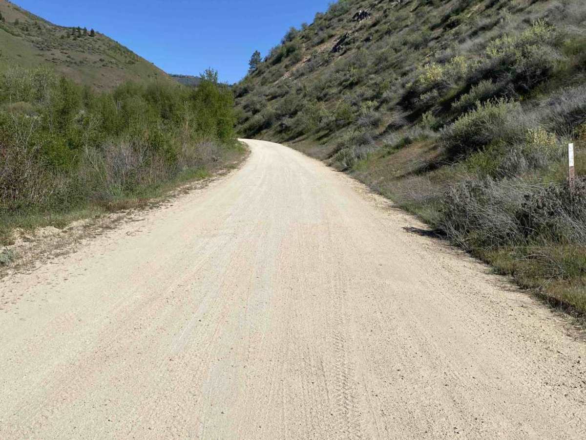
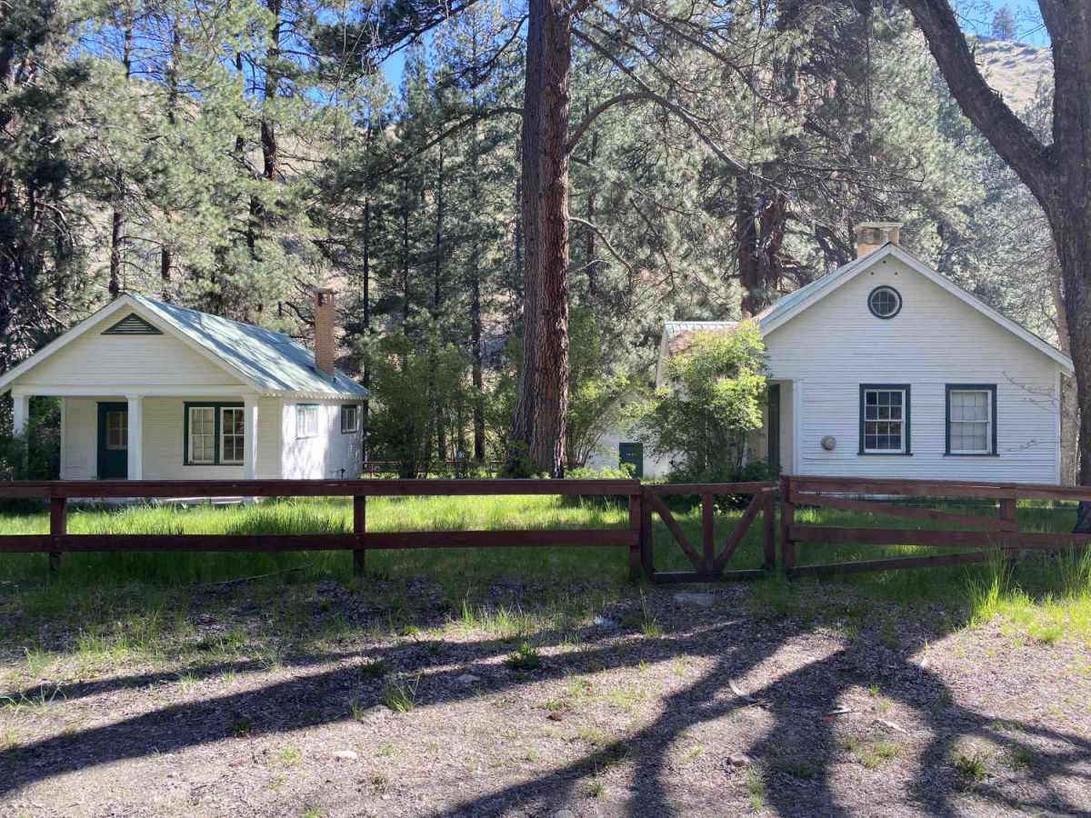
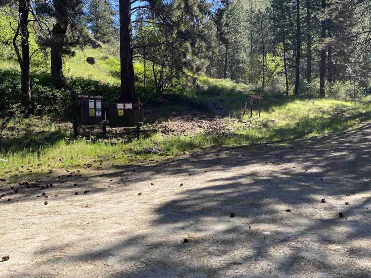
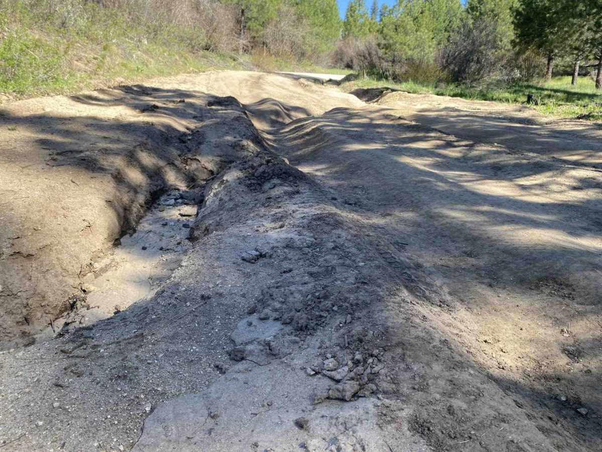
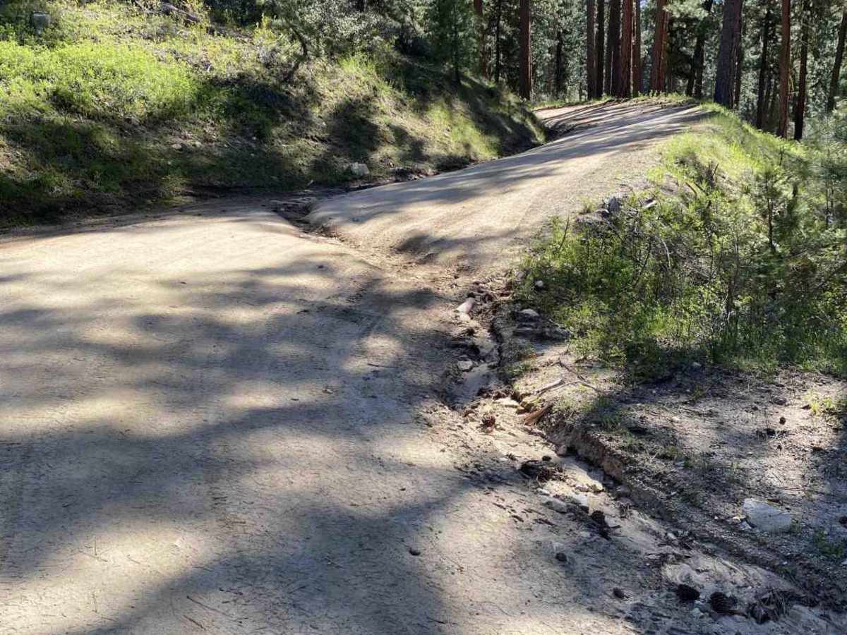
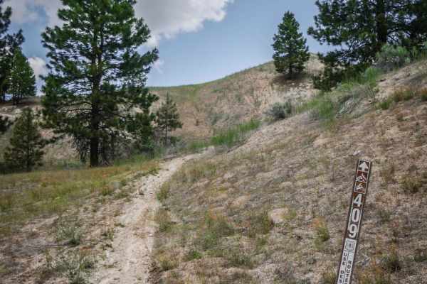
Cottonwood Creek Road (FS #277) offers a steady, scenic climb starting from Arrowrock Dam and ascending through a dense, continuous canopy of pine trees. The journey begins near the small, three-site Cottonwood Creek Campground. The spur trail to the campground is particularly narrow and prone to causing "pinstriping" on wider vehicles. On Cottonwood Creek Road, as you pass the Cottonwood Guard Station, the trail provides several opportunities for dispersed camping, though drivers must stay alert; the constant shift between deep shade and bright sun makes it difficult to spot protruding rocks and deep potholes. While the road is generally wide enough for passing, numerous blind corners require caution. Near the summit, the terrain becomes more technical with several washouts and ruts reaching depths of 10 inches; however, there are more shallow spots to cross. Upon reaching the top of the hill, you can transition onto FS #203, FS # 202 (which has season closure), or continue toward Idaho City, though the lower portion of that route is typically closed until late May.