
Beginner Off-Road Trails
Near Hector, Arkansas
Explore All Beginner Trails Near Hector, Arkansas
Beginner Off-Road Trails Near Hector, Arkansas
Discover the best beginner-friendly off-road trails near you. These easier, lower-rated trails are a great place to start — browse trail maps, check difficulty ratings, and find your next adventure.
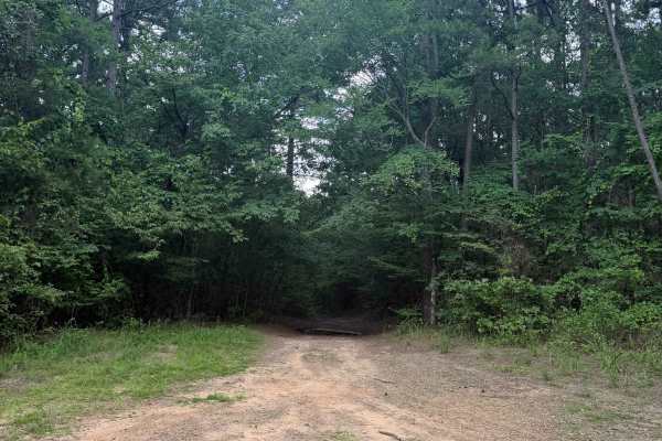
Petty Cord
Petty Cord starts as a smooth, easy-going trail heading through the dense woods. This trail heads North with a few small inclines and declines. The major obstacles for this trail would be the mud holes, whoops, and tight trees. The end of this trail stops at a creek bed with some really good camping...
Learn more about Petty Cord
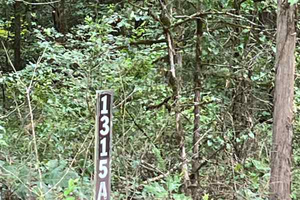
Poe West Dam
Poe West Dam is a point-of-interest trail that leads to the West Fork Point Remove Creek Site 8 Reservoir Dam. This area offers several recreational opportunities, including dispersed camping, swimming, fishing, and small boat access. The trail is an easy out-and-back route, making it a great destin...
Learn more about Poe West Dam
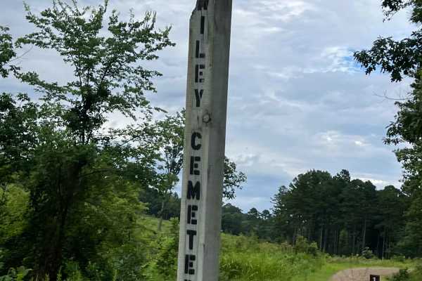
Wiley Trail
Wiley’s Trail is located off Cato Ridge, with the entrance situated next to West Fork Point Remove Site Eight Reservoir. The trail follows the route toward Wiley’s Cemetery and offers an easy, accessible drive suitable for most types of vehicles. The trail is straightforward to navigate, making it a...
Learn more about Wiley Trail
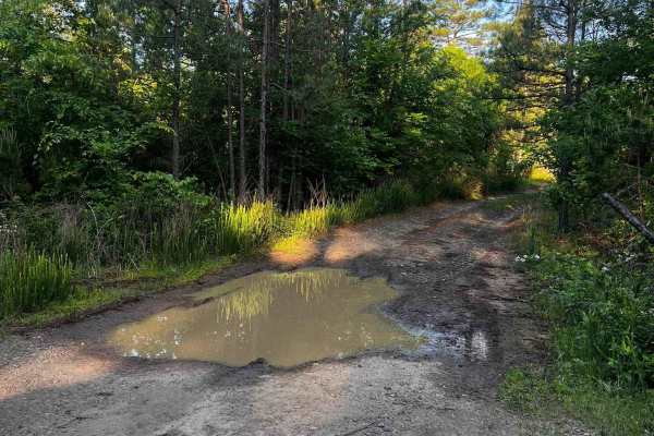
NFS 93052A Baker
93052A is a great connector to the top of 93052F, 1322A, and Adams Mountain Road. Dropping in off Old Hwy 27, the trail gradually descends at first with a few shallow mud holes. The trail has a few switchbacks as its grade steepens. At the 1-mile mark is the upper trailhead of 93052A. The trail turn...
Learn more about NFS 93052A Baker

Seymor Road
Seymor Road is a well-maintained graded dirt road providing access to ATV trails at its eastern terminus near Campbell Hollow. The 3.5-mile route features gentle grades and minimal obstacles, making it suitable for all vehicle types including toy haulers and horse trailers. While not technically cha...
Learn more about Seymor Road
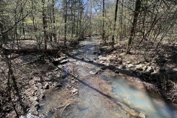
Cheyenne Road
One of the great features of the Ozarks is the endless dedicated ATV, SxS, dirt bike, and off-roading areas. Cheyenne Road is one of those gateway trails that will lead you to the Mountain Man Trailhead riding area. It's an easy gravel however there are washed-out sections and creek crossings with b...
Learn more about Cheyenne Road
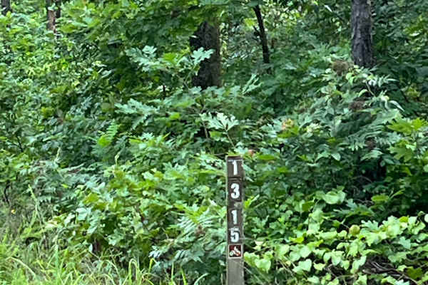
CATO Ridge
Cato Ridge is a scenic connector trail that runs between Forestry Road and Evans Mountain Road. Along the route, you'll find access to Wiley Cemetery and West Fork Point, as well as the Moore Creek Site 8 Dam. Cato Ridge is an easy, wide-open trail with beautiful views, making it a relaxing drive or...
Learn more about CATO Ridge

Black Oak Ridge Loop
This ATV loop in the Ozark National Forest is easy and scenic, but full of small features to keep the average rider on their toes. The southwest end of the trail starts at intersection N, and it descends through the forest through intersections S, Q, and P, until it ascends to the intersection L. T...
Learn more about Black Oak Ridge Loop
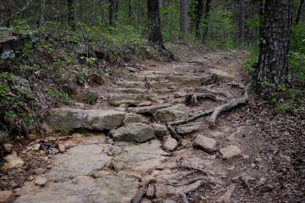
A-B Connector
This is a short connector trail between Trails A and B, both of which are access trails from the Moccasin Gap trailhead, and are likely the first trails taken to start your ride in this trail system. This connector has a couple of notable rock sections, making it more difficult than A, but slightly ...
Learn more about A-B Connector
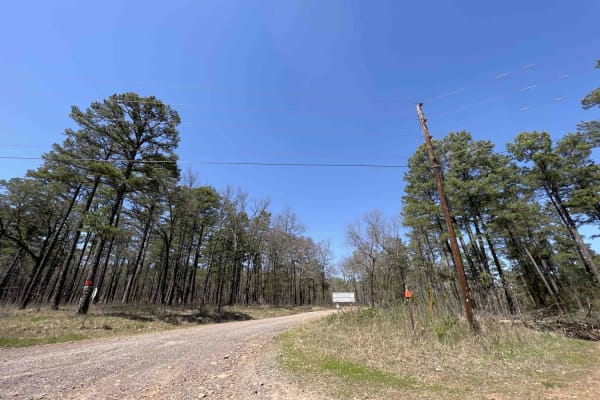
Rock Creek 1319
Rock Creek is an easy gravel road with creeks, campsites, and views for miles. It has eight spur trails for SxSs, ATVs, and 4x4 rigs. Griffin Mountain peaks at an elevation of 1004 feet giving you a taste of what the Ozarks has to offer. There are water crossings and lots of little creeks to play in...
Learn more about Rock Creek 1319
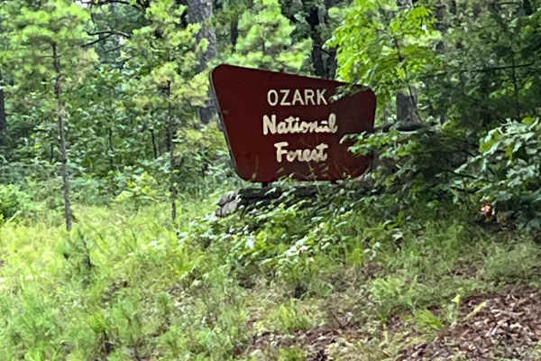
Foresty Road
Forestry Road is one of the main access roads into the national forest, beginning near the Piney Creek Wildlife Management Area (WMA). It connects to Cheyenne Road and provides access to several trails and points of interest throughout the forest. Forestry Road is a wide, easy-to-travel forest road....
Learn more about Foresty Road

A
This ATV trail near Russellville, Arkansas, in the Ozark National Forest, starts at the Day Use Parking Area and gradually goes downhill until the J Intersection. It offers a mostly easy ride through a mix of sun and shade, through a forest of maples and oak trees. This is likely how most trail user...
Learn more about A
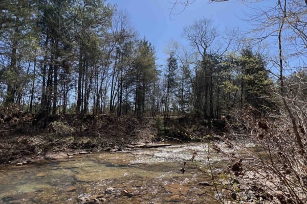
Liberty Springs 1334
Liberty Springs is the south entrance to the Brock Creek ATV Trail system, Brock Creek Campground, and Brock Creek Lake. This road is an easy dirt road with some gravel mixed in. There are beautiful spots to stop to have lunch before hitting the ATV trails. Brock Creek has a huge staging area big en...
Learn more about Liberty Springs 1334
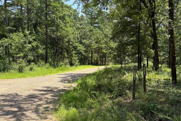
West Fork Scenic Drive
This is a point-to-point trail that passes several runoff trails. This is a maintained road that would be accessible for most vehicles. If you are driving this trail South to north, you will notice one of the first offshoots is a waterway that is used to help prevent flooding in the area, with a lot...
Learn more about West Fork Scenic Drive
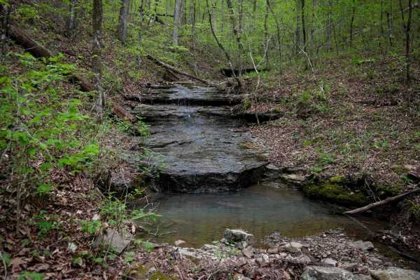
B
This trail starts at the west end with a wet and muddy stretch, winding through small rocks and rooty patches. Expect puddles and ruts up to a foot deep--picking the high points is key. Scattered small logs require a bit of technical handling, and steep little climbs add to the challenge as the trai...
Learn more about B
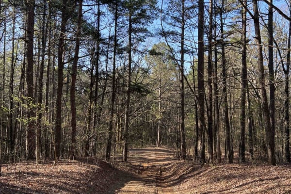
Wilderness Trail
Wilderness Trail is a beautiful scenic drive with several spots to pull off and take some pictures of the panoramic views. Wilderness Trail sits at an elevation of 1,900 feet and has a really nice big dispersed camping spot. It's an easy gravel road with some old logging operations, which is a plus...
Learn more about Wilderness Trail
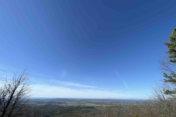
White Oak Mountain Rd
White Oak Mountain is a beautiful scenic drive with amazing views of the valley and the Ouachita National Forest. White Oak Mountain sits at an elevation of 2,005 feet, There is a small campsite up near the radio towers. Right near the mountain, there is a picnic table that's seen better days but ha...
Learn more about White Oak Mountain Rd

Brock 40
This 4.5-mile ATV route starts at the Schoolhouse Hollow off of Brock 42. It's a windy ATV path through the trees, and after half a mile, it connects to Charleston Road for a moment at the Zing Trailhead. Continuing from there, the trail has been rerouted to loop around west before heading south. Th...
Learn more about Brock 40
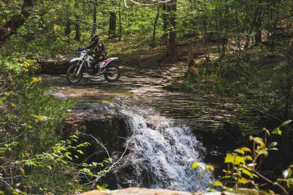
Stave Mill Falls
This loop is an easy ATV trail in the Ozark National Forest with a few features that make it more rugged and interesting for the average rider. The trail has several big downhills full of loose rocks with deep ruts and troughs, making it off-camber in sections, requiring careful navigation of the hi...
Learn more about Stave Mill Falls
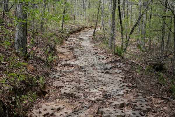
Gap Hollow Spur South 1
The south end of this segment of ATV trail descends from the Stave Mill Falls Loop and has a caution sign for a Slippery Slope, which is either referring to the upcoming creek crossing or the following steep ascent up the mountain lined with cement pavers. The creek crossing was shallow in springtim...
Learn more about Gap Hollow Spur South 1
Beginner ATV trails near Hector, Arkansas
Explore ATV-friendly trails near you. These trails are accessible for vehicles up to 50 inches wide, perfect for ATVs and smaller off-road machines.
Petty Cord
Petty Cord starts as a smooth, easy-going trail heading through the dense woods. This trail heads North with a few small inclines and declines. The major obstacles for this trail would be the mud holes, whoops, and tight trees. The end of this trail stops at a creek bed with some really good camping...
Learn more about Petty Cord
NFS 93052A Baker
93052A is a great connector to the top of 93052F, 1322A, and Adams Mountain Road. Dropping in off Old Hwy 27, the trail gradually descends at first with a few shallow mud holes. The trail has a few switchbacks as its grade steepens. At the 1-mile mark is the upper trailhead of 93052A. The trail turn...
Learn more about NFS 93052A Baker
Seymor Road
Seymor Road is a well-maintained graded dirt road providing access to ATV trails at its eastern terminus near Campbell Hollow. The 3.5-mile route features gentle grades and minimal obstacles, making it suitable for all vehicle types including toy haulers and horse trailers. While not technically cha...
Learn more about Seymor Road
Cheyenne Road
One of the great features of the Ozarks is the endless dedicated ATV, SxS, dirt bike, and off-roading areas. Cheyenne Road is one of those gateway trails that will lead you to the Mountain Man Trailhead riding area. It's an easy gravel however there are washed-out sections and creek crossings with b...
Learn more about Cheyenne Road
Beginner UTV/side-by-side trails near Hector, Arkansas
Find UTV and side-by-side trails near you. These trails accommodate vehicles up to 60 inches wide, ideal for UTVs, side-by-sides, and wider off-road rigs.
Petty Cord
Petty Cord starts as a smooth, easy-going trail heading through the dense woods. This trail heads North with a few small inclines and declines. The major obstacles for this trail would be the mud holes, whoops, and tight trees. The end of this trail stops at a creek bed with some really good camping...
Learn more about Petty Cord
NFS 93052A Baker
93052A is a great connector to the top of 93052F, 1322A, and Adams Mountain Road. Dropping in off Old Hwy 27, the trail gradually descends at first with a few shallow mud holes. The trail has a few switchbacks as its grade steepens. At the 1-mile mark is the upper trailhead of 93052A. The trail turn...
Learn more about NFS 93052A Baker
Seymor Road
Seymor Road is a well-maintained graded dirt road providing access to ATV trails at its eastern terminus near Campbell Hollow. The 3.5-mile route features gentle grades and minimal obstacles, making it suitable for all vehicle types including toy haulers and horse trailers. While not technically cha...
Learn more about Seymor Road
Cheyenne Road
One of the great features of the Ozarks is the endless dedicated ATV, SxS, dirt bike, and off-roading areas. Cheyenne Road is one of those gateway trails that will lead you to the Mountain Man Trailhead riding area. It's an easy gravel however there are washed-out sections and creek crossings with b...
Learn more about Cheyenne Road
The onX Offroad Difference
onX Offroad combines trail photos, descriptions, difficulty ratings, width restrictions, seasonality, and more in a user-friendly interface. Available on all devices, with offline access and full compatibility with CarPlay and Android Auto. Discover what you're missing today!
Open Trail Map