Trail Overview
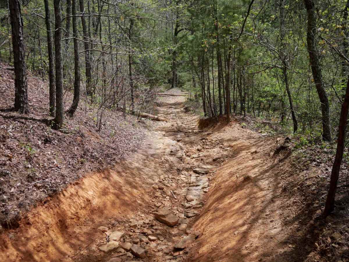
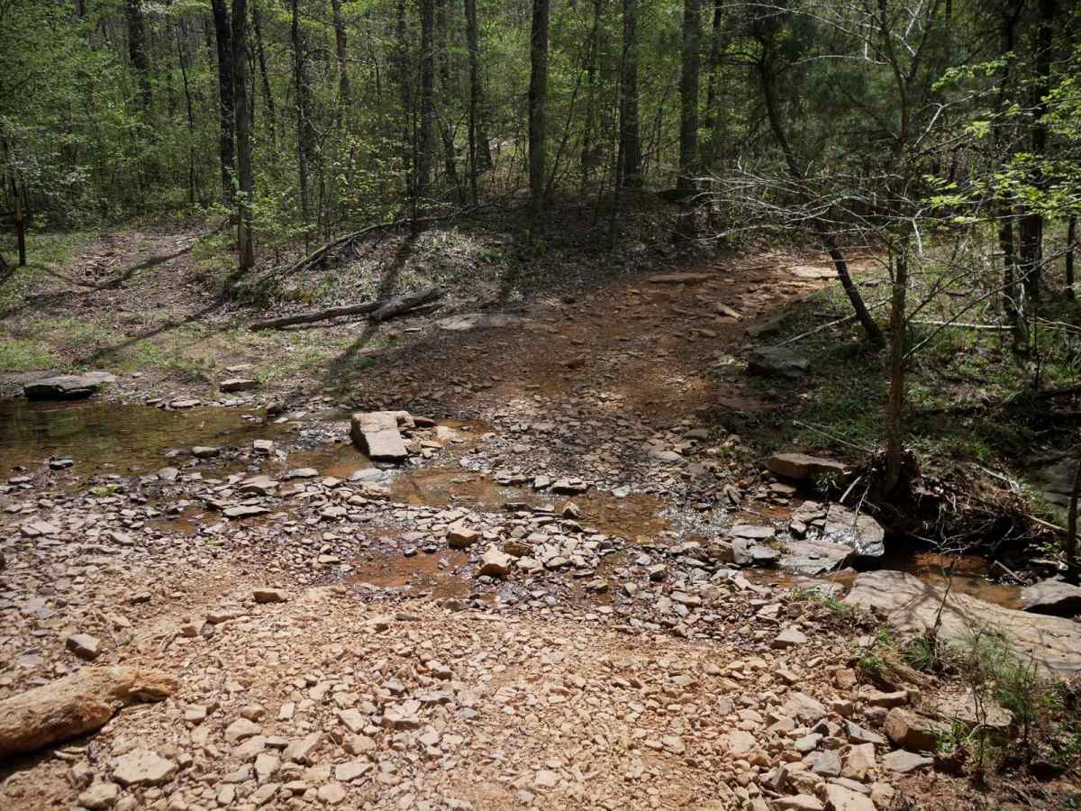
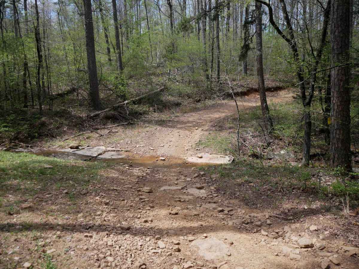
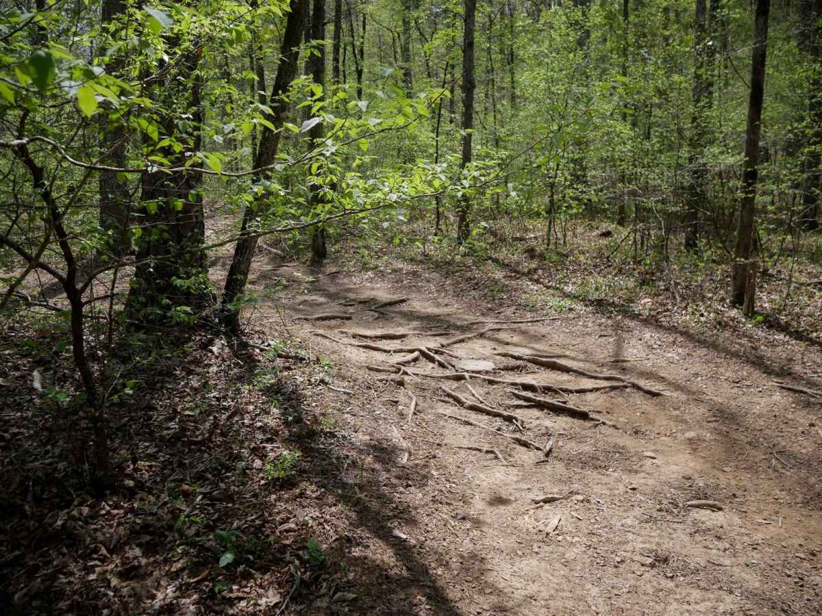
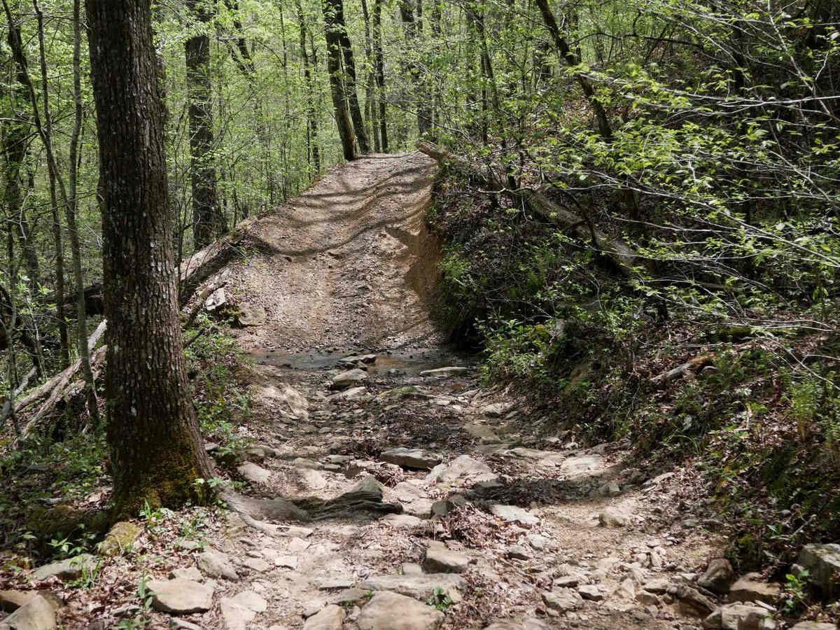
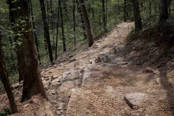
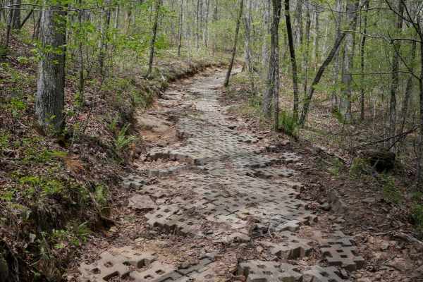
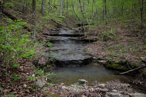
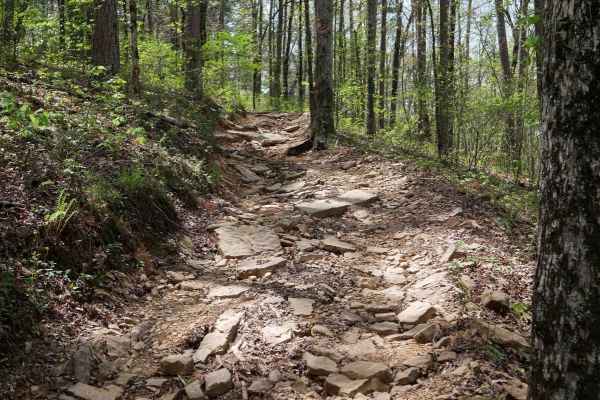
This loop is an easy ATV trail in the Ozark National Forest with a few features that make it more rugged and interesting for the average rider. The trail has several big downhills full of loose rocks with deep ruts and troughs, making it off-camber in sections, requiring careful navigation of the high points. It meanders through a forest of maple and oak trees - watch out for stray branches sticking over the trail. There are often long mud puddles spanning the width of the trail, although they are often shallow. The trail has several rockier spots that make it more technical, often flat loose cobble that moves around as you ride over it, or bigger slabs of slickrock. There are several shallow creek crossings with smooth rocks or slickrock at the bottom. A highlight is riding past several beautiful blue creeks and waterfalls. There is a creek crossing at Intersection O where the trail rides across the slickrock above a small waterfall, which is unique. Expect small logs down across the trail, and tight corners between the trees. If making a clockwise loop, follow the signs for K, O, I, then J.
Difficulty
Although easy and navigable by most average riders, this ATV trail has some more technical features that need to be navigated including deep troughs, ruts, mud puddles, and creek crossings.