
Beginner Off-Road Trails
Near Gilbert, Arizona
Explore All Beginner Trails Near Gilbert, Arizona
Beginner Off-Road Trails Near Gilbert, Arizona
Discover the best beginner-friendly off-road trails near you. These easier, lower-rated trails are a great place to start — browse trail maps, check difficulty ratings, and find your next adventure.
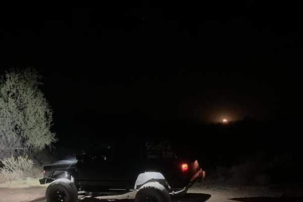
Bulldog Wash
This trail is just off Ellsworth Road and takes you right to Bulldog Canyon trail. Most of it is a sandy wash that weaves around the Arizona desert. Expect some canyon walls, with one rocky section and a dirt and rock hill halfway through the trail. You will need a code to access this trail. The cod...
Learn more about Bulldog Wash
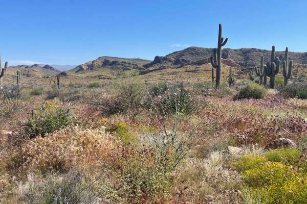
First Water Trail
A relatively flat, bumpy trail leads to the First Water Trailhead and access to the beautiful Superstition Wilderness. Four-wheel drive is not required, however, several washes exist on the trail that are prone to drastic flash flooding. Please monitor weather patterns before use. There is no overni...
Learn more about First Water Trail
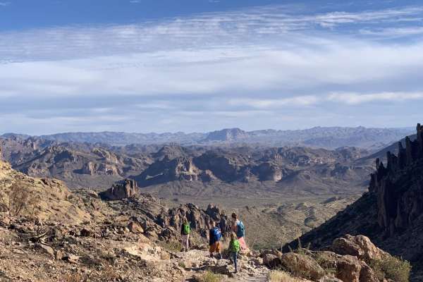
Peralta road
Peralta road is an easy, graded dirt road. Although the road is not challenging, it still leads to great views and has plenty of turn-offs for dispersed camping. If you are into hiking, this road ends at a trailhead for miles of great hiking. The trailhead has a restroom, but it can be crowded.
Learn more about Peralta road
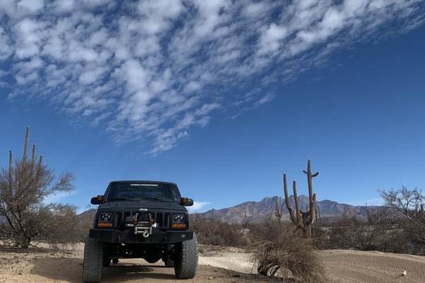
Rolls Road
Rolls Road is an easy 7.1-mile point-to-point trail within the Tonto National Forest, perfect for beginner offroaders, side-by-sides, and high-clearance four-wheel-drive vehicles seeking a fun desert escape. Beginning from the staging area off Four Peaks Road (Forest Road 143), the trail heads south...
Learn more about Rolls Road
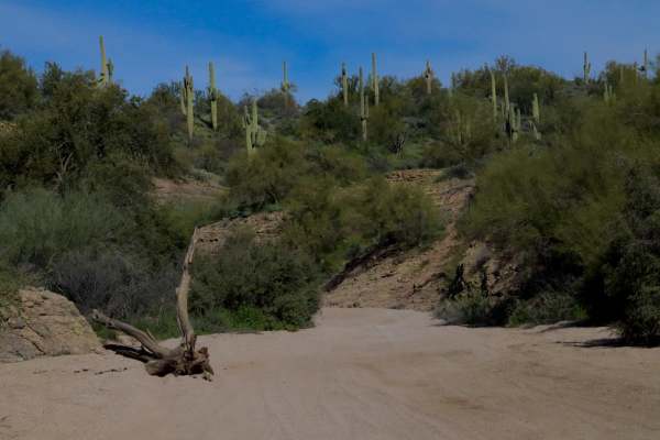
FDR 1863 South Loop
This route begins and ends off of FDR 13 looping South through a large chunk of the Rolls OHV area accommodating access to several other trails. Use this as a connector, or enjoy it as a stand-alone. It is primarily a sand-bottomed wash. Monitoring weather before arrival is recommended, as flash flo...
Learn more about FDR 1863 South Loop
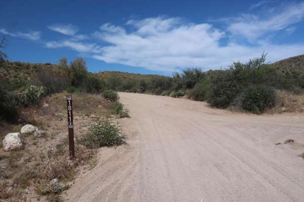
FDR 1811
FDR 1811 is one of many sandy wash roads available in the Rolls OHV off-road area, comprised primarily of sand and flowing turns. The route is an alternative connection between FDR 1813 and FDR 13. This trail has been re-routed east of its original track for restoration efforts. Flash flooding and i...
Learn more about FDR 1811
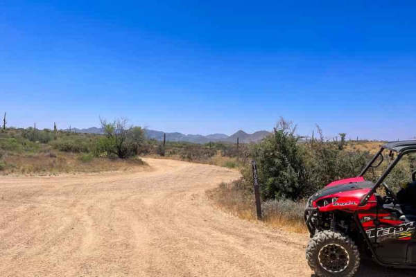
MT-1808
This is a short 2.6-mile point-to-point trail in the Rolls OHV trail network. It connects MT-13 on the north end to FDR-1863 on the south end. This is a narrow twisting sand wash with high hills on both sides. The road surface is loose and deep sand and gravel with high-banked tight turns. The trail...
Learn more about MT-1808
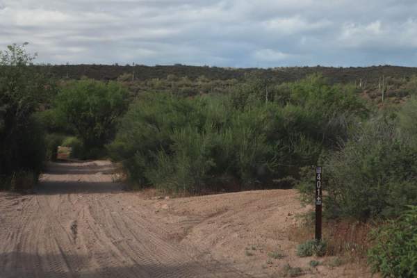
Cottonwood
Cottonwood Road is a rough and rocky double-track into the Four Peaks Wilderness. The route is continuous loose rock until the Soldier Camp Trailhead, where it gives way to some easier dirt road driving. There are minor switchback turns, climbs, and ascents, however, the trail is not difficult, as i...
Learn more about Cottonwood
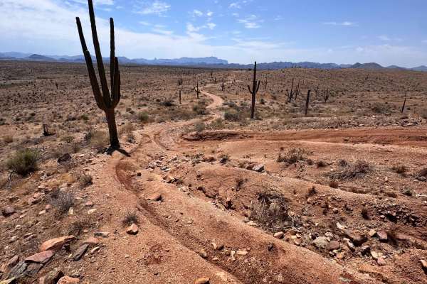
Sycamore Overlook Trail
This is a fun and quick trail with great views, perfect for a relaxing trail ride. The northern half of this trail brings you up onto a fin with spectacular views of both the Sycamore area and the 4 Peaks Wilderness, giving it its name. There are several steep climbs/descents on this half of the tra...
Learn more about Sycamore Overlook Trail
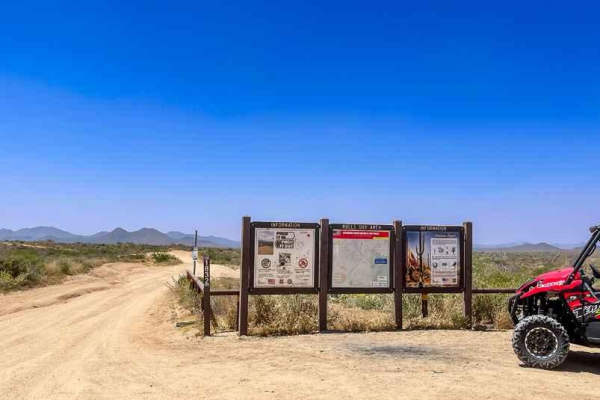
MT-1832
This is a short 2.8-mile point-to-point trail in the Rolls OHV trail network. It connects Cline Cabin Road (4 Peaks Road) on the north end to MT-13 on the south end. The road surface is hard-packed dirt with a thin top layer of sand and gravel. It is incredibly "whooped up" with big dry puddle holes...
Learn more about MT-1832
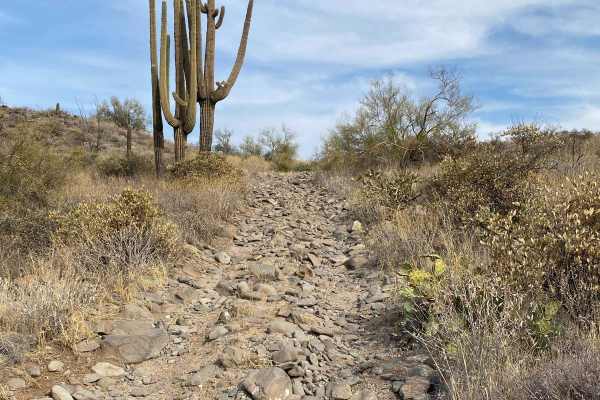
160C - Eagle Viewpoint
Trail 160C is an out and back trail that heads due West from the intersection of 160B and 1089. This trail dead ends at a locked gate that is the habitat for Desert Nesting Bald Eagles and does not connect to the Verde River. This trail is mostly through an open desert setting with many loose baseba...
Learn more about 160C - Eagle Viewpoint
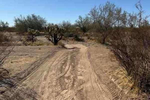
Nw2230
Nw2230 is located to the East of AZ State Route 79 and North of the Box Canyon trail. Coming from Box Canyon, it is a little difficult to find at first because of the dirt bike play area. The trail is a mix of single track and wash. Not suitable for full-size vehicles. Pinstriping is imminent and lo...
Learn more about Nw2230
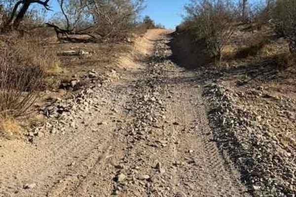
Nw2014
Nw2014 is located to the East of Arizona State Route 79 and South of the Box Canyon trail. It connects Box Canyon to the main North/South Nw2006 trail. The trail consists of dirt, small loose rocks, and minor ruts. Full-size vehicles are susceptible to pinstriping. One bar of Verizon LTE service was...
Learn more about Nw2014
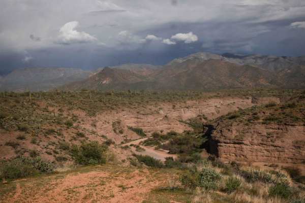
398 Powerline
398 is a longer powerline trail in the Tonto National Forest near Camp Creek, Arizona. It's a main route from the west entrance to this OHV area off of North 14th Street and runs east, accessing tons of 4x4 trails before ending at an overlook of the canyon that is Camp Creek. A lot of it is a wide a...
Learn more about 398 Powerline
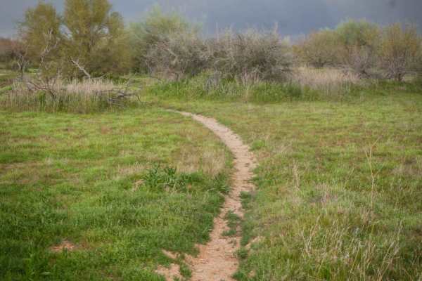
Camp Creek Access Single Track
You can take this short single track from the staging area off of North 14th Street to access the Powerline Trail, which will take you to the many other off-roading trails in this zone of the Tonto National Forest. The trail is a mile-long meander through the green desert landscape full of saguaros ...
Learn more about Camp Creek Access Single Track
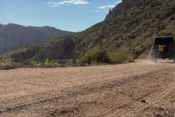
Black Cross Butte
Dirt trail winds through the beautiful desert landscape, offering dramatic views of canyons, desert flora, and the rugged mountains surrounding you. The trail includes sections of uneven, rocky terrain with occasional washes, and in some places, there are steep drop-offs on either side of the trail....
Learn more about Black Cross Butte
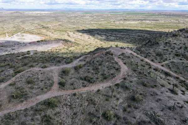
Top Of The World
This is a short leisurely cruise through the desert. It is great for beginners, sightseeing, or testing out new parts. Parts of this trail pass through Arizona Trust Land, so a pass is required. The vast majority of this trail is a single-lane dirt road, with a few wash crossings. The highlight of t...
Learn more about Top Of The World
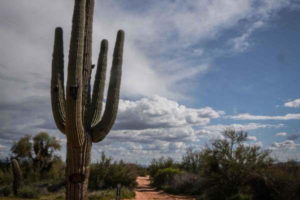
1109
1109 is a short and wide dirt Jeep road in a wide-open desert full of massive saguaro cacti. It has uneven ground, ruts, bumps, and rutted corners;it crosses sandy washes and goes past a massive saguaro with a trail sign next to it. It's very easy, with only a couple of spots with slight uphills. Th...
Learn more about 1109
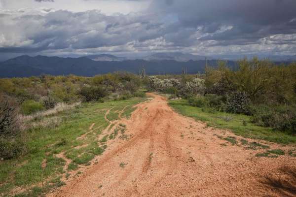
Camp Creek Access ATV Trail
This is a short ATV trail in the Tonto National Forest that accesses hundreds of miles of trails near Camp Creek, Arizona. Although accessible by ATV, it's more like a single track and is mostly ridden by dirt bikes because it's pretty narrow. It goes flat and straight through green desert terrain w...
Learn more about Camp Creek Access ATV Trail
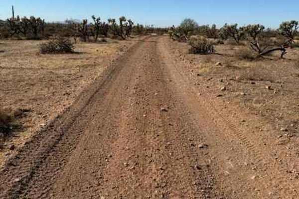
Nw2006a
Nw2006a is located to the East of Arizona State Route 79 and South of the Box Canyon trail. This is a side trail to the main North/South Nw2006 trail. The trail consists of dirt and small rocks. It is wide and suitable for full-size vehicles. One bar of Verizon LTE service was available.
Learn more about Nw2006a
Beginner ATV trails near Gilbert, Arizona
Explore ATV-friendly trails near you. These trails are accessible for vehicles up to 50 inches wide, perfect for ATVs and smaller off-road machines.
Bulldog Wash
This trail is just off Ellsworth Road and takes you right to Bulldog Canyon trail. Most of it is a sandy wash that weaves around the Arizona desert. Expect some canyon walls, with one rocky section and a dirt and rock hill halfway through the trail. You will need a code to access this trail. The cod...
Learn more about Bulldog Wash
Peralta road
Peralta road is an easy, graded dirt road. Although the road is not challenging, it still leads to great views and has plenty of turn-offs for dispersed camping. If you are into hiking, this road ends at a trailhead for miles of great hiking. The trailhead has a restroom, but it can be crowded.
Learn more about Peralta road
Rolls Road
Rolls Road is an easy 7.1-mile point-to-point trail within the Tonto National Forest, perfect for beginner offroaders, side-by-sides, and high-clearance four-wheel-drive vehicles seeking a fun desert escape. Beginning from the staging area off Four Peaks Road (Forest Road 143), the trail heads south...
Learn more about Rolls Road
FDR 1863 South Loop
This route begins and ends off of FDR 13 looping South through a large chunk of the Rolls OHV area accommodating access to several other trails. Use this as a connector, or enjoy it as a stand-alone. It is primarily a sand-bottomed wash. Monitoring weather before arrival is recommended, as flash flo...
Learn more about FDR 1863 South Loop
Beginner UTV/side-by-side trails near Gilbert, Arizona
Find UTV and side-by-side trails near you. These trails accommodate vehicles up to 60 inches wide, ideal for UTVs, side-by-sides, and wider off-road rigs.
FDR 1863 South Loop
This route begins and ends off of FDR 13 looping South through a large chunk of the Rolls OHV area accommodating access to several other trails. Use this as a connector, or enjoy it as a stand-alone. It is primarily a sand-bottomed wash. Monitoring weather before arrival is recommended, as flash flo...
Learn more about FDR 1863 South Loop
FDR 1811
FDR 1811 is one of many sandy wash roads available in the Rolls OHV off-road area, comprised primarily of sand and flowing turns. The route is an alternative connection between FDR 1813 and FDR 13. This trail has been re-routed east of its original track for restoration efforts. Flash flooding and i...
Learn more about FDR 1811
MT-1808
This is a short 2.6-mile point-to-point trail in the Rolls OHV trail network. It connects MT-13 on the north end to FDR-1863 on the south end. This is a narrow twisting sand wash with high hills on both sides. The road surface is loose and deep sand and gravel with high-banked tight turns. The trail...
Learn more about MT-1808
Cottonwood
Cottonwood Road is a rough and rocky double-track into the Four Peaks Wilderness. The route is continuous loose rock until the Soldier Camp Trailhead, where it gives way to some easier dirt road driving. There are minor switchback turns, climbs, and ascents, however, the trail is not difficult, as i...
Learn more about Cottonwood
The onX Offroad Difference
onX Offroad combines trail photos, descriptions, difficulty ratings, width restrictions, seasonality, and more in a user-friendly interface. Available on all devices, with offline access and full compatibility with CarPlay and Android Auto. Discover what you're missing today!
Open Trail Map