
Beginner Off-Road Trails
Near Fulton, Michigan
Explore All Beginner Trails Near Fulton, Michigan
Beginner Off-Road Trails Near Fulton, Michigan
Discover the best beginner-friendly off-road trails near you. These easier, lower-rated trails are a great place to start — browse trail maps, check difficulty ratings, and find your next adventure.
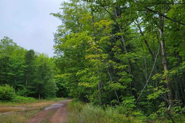
Keweenaw State Trail Segment 1
The Keweenaw State Trail can take you all the way from Calumet to the end of the Peninsula. This is one short segment of that trail that is easy to navigate with a solid trail bed, but numerous water holes when it has not been graded. The water holes are not terribly deep, but some have larger sharp...
Learn more about Keweenaw State Trail Segment 1
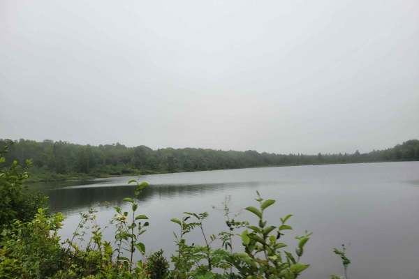
Calumet Cruiser
This is a railroad grade-like trail, that is anything but flat. There are many rough spots and dips in the trail with a mixed bed ranging from gravel to medium rip rap. The trail leads through the edge of town allowing you to turn off the trail easily for fuel or food.
Learn more about Calumet Cruiser
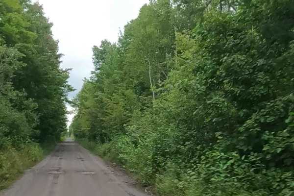
Soo Line Railway bed: ST17 / ORV Route B
ORV Route B is an open segment that measures approximately 3.24 miles in length. The route has a width greater than 12 feet and features a surface composed of dirt, sand, gravel, and native material. This route follows a former railroad bed that has been converted into an ORV trail. It connects Elec...
Learn more about Soo Line Railway bed: ST17 / ORV Route B
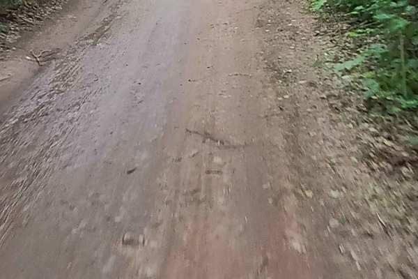
ST3 - ORV Route BD
ORV Route BD, known as the ST-3 Railway portion, is an open segment measuring approximately 10.08 miles in length. The route has a maximum width of 72 inches and features a surface composed of dirt, sand, gravel, and native material. This route follows a former railway bed that has been converted in...
Learn more about ST3 - ORV Route BD
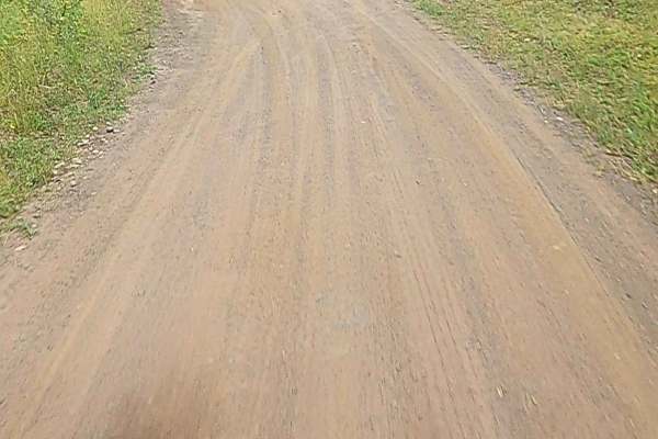
Copper County State First Route
Copper County State Forest Road is a non-DNR road under private ownership. The surface consists of dirt, sand, and native material, and the overall condition is considered fair. Since it is not a DNR road, ORV use is subject to local government laws. The road remains open under the current closure c...
Learn more about Copper County State First Route
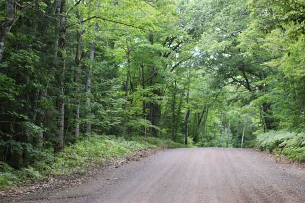
Garden Rd
The trail is a seasonal road that is not snowplowed by the road commission but is graded during the warm months. Spring conditions may have patches of snow and mud until the thaw ends. The trail is mostly comprised of a gravel surface that rises and falls gently across the ridge until you reach the ...
Learn more about Garden Rd
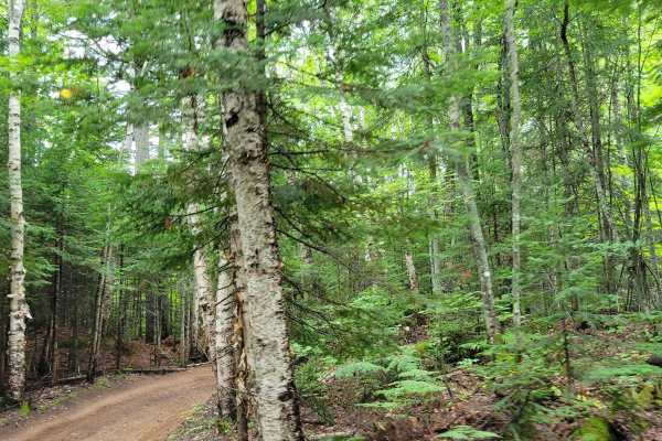
Mohawk-Gay Cut Across
The trail is mostly hard-packed rock with some areas of loose dirt. The trail will take you from Gay, Michigan to Mohawk-Gay Road where you can make some decisions on direction. The trail is easy to navigate for riders of all experience levels and will be a short trip through the woods.
Learn more about Mohawk-Gay Cut Across
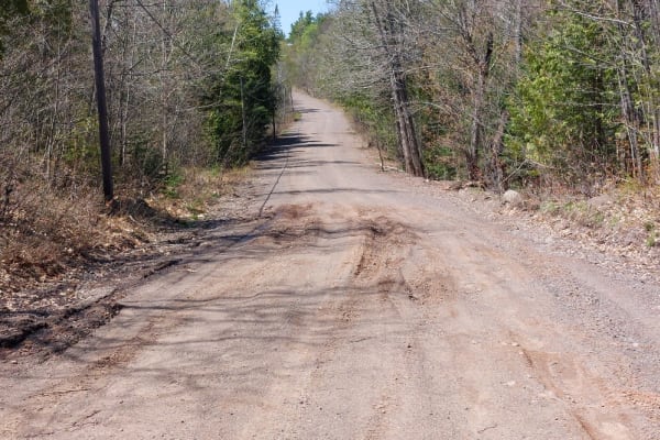
Delaware Crosscut
This is a gently rolling and twisty gravel road that is perfect for taking the road less traveled. Don't let the typically dry and flat conditions fool you as the spring and late fall conditions can be very muddy. It is typical to have road closures during the spring thaw as the mud holes can swallo...
Learn more about Delaware Crosscut
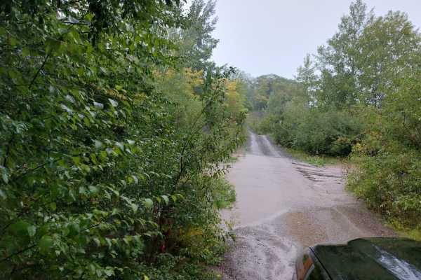
Bill Nicholls Trail (UP3)
This is one of Michigan's ORV Routes that is open to all licensed vehicles and ORVs. It runs from Houghton to Greenland at roughly 40 miles in length, utilizing the old Copper Range Railroad grade. There are 2 trestles that have been removed, and these account for the only hills on the trail. Otherw...
Learn more about Bill Nicholls Trail (UP3)
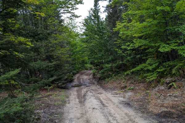
South Mandan Trail
This trail is a long stretch of what can easily be turned into a loop trail. The South Mandan trail is a hard surface trail of mixed rock that you can take many detours off of to explore the Keweenaw. There are a lot of holes to gather water making it better to travel after a rain to keep the dust d...
Learn more about South Mandan Trail
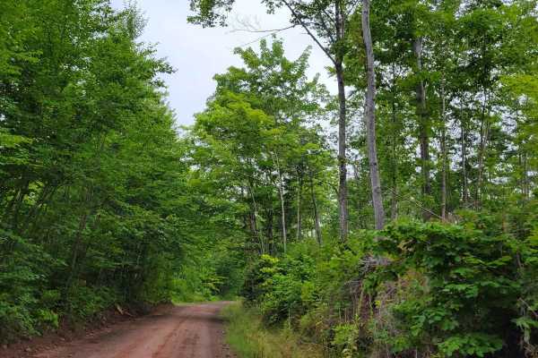
Keweenaw State Trail Segment 2
This is the northernmost segment of the Keweenaw State Trail. The trail is a rail road grade-like trail that is mostly straight but has a hard surface with mixed rock throughout the length. There are a lot of low dips visible after rain has pooled water in them. When dry, prepare for dust and good w...
Learn more about Keweenaw State Trail Segment 2
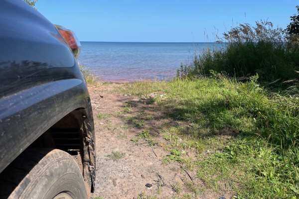
Red Rock Beach Trail
This is a short 1-mile two-track that leads out to a secluded beach with unique polka-dotted red rocks. It is just wide enough for a full-sized rig to avoid pin striping, and there isn't anywhere to pass. The surface is rock and dirt, and there are multiple mud puddles, but they have hard bottoms a...
Learn more about Red Rock Beach Trail
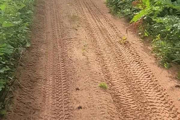
ORV Route BI
ORV Route BI is an open segment measuring approximately 2.23 miles in length. The route has a width greater than 12 feet and features a surface composed of dirt, sand, and native material. This route is seasonally restricted to side-by-side ORVs that are 65 inches or less in width and to ATVs. These...
Learn more about ORV Route BI
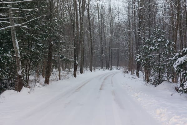
Covered Drive
This is a shortcut road that is more than a shortcut. If you are looking for an iconic photo road, this is it! During the fall color season, you will find a lot of traffic taking in the colors while others are simply shortcutting to the Lake Superior Shoreline. The road is generally two vehicles wid...
Learn more about Covered Drive
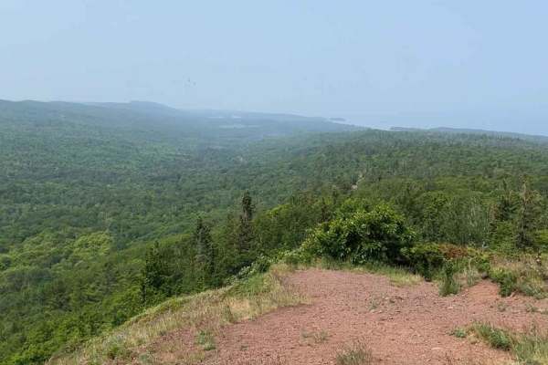
Brockway Mountain Drive
Calling this a trail is maybe a stretch but hear me out... this is a minimally maintained "paved" (broken pavement) road that appears to be snowmobile only basically in the winter. There are areas for the lookout and a touristy type lookout a couple of miles in. However, there are multiple mountain ...
Learn more about Brockway Mountain Drive
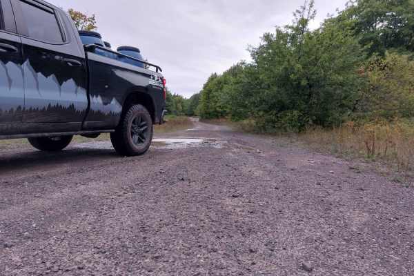
Globe Mine Trail
Short and easy is how this trail is described. It does get narrow and has a few water holes to navigate but they have a hard bottom. This makes for an easy escape or entrance to the Bill Nicholls trail. The trail is mostly gravel, relatively flat, and pretty wide for most of it.
Learn more about Globe Mine Trail
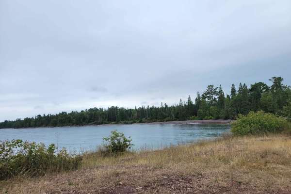
Burma Mandan Cut Over
Simple cut-over trail that completes the end of the South Mandan trail. The trail will bring you back to the North side of the Keweenaw Peninsula and Copper Harbor for some fuel. The trail is mostly mixed rock and gravel. Side spurs will allow you to get to another great spot on the lake shore, High...
Learn more about Burma Mandan Cut Over
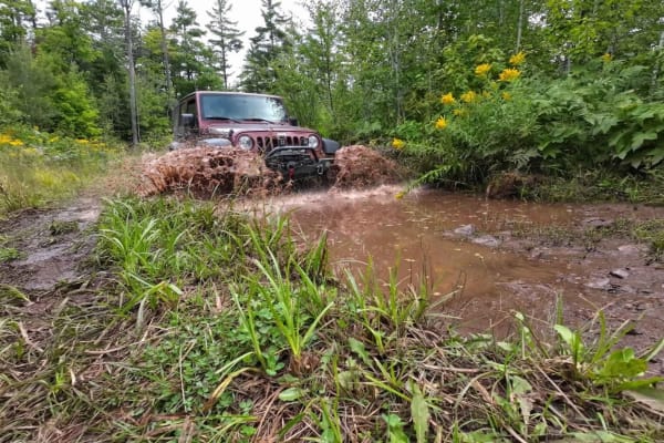
Old Clark Mine
The Old Clark Mine is located roughly 2.5 miles south of Copper Harbor on the Keweenaw Peninsula in the U.P. Michigan. There are very few remnants left from the mine which closed in 1901, however, the dirt and gravel trails throughout are enjoyable since they are surrounded by thick forests. This tr...
Learn more about Old Clark Mine
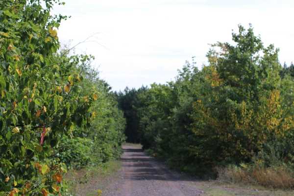
Mill Mine Trail
This trail runs along an old railroad grade off the Bill Nicholls trail back to the Bill Nicholls trail. It is an alternative to running through the towns of Painesdale, Trimountain, and South Range. The trail is easy on the North end but has a couple small water crossings on the South end that vary...
Learn more about Mill Mine Trail
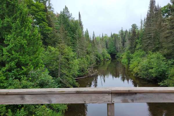
Fish Cove Cut
Winding trail through the woods to Lake Superior. The trail is mostly gravel at this point leading up to a walking trail that will take you down to the lake. There is plenty of traffic as it is a shared resource with full-size vehicles making the trail relatively easy to pass with most vehicles.
Learn more about Fish Cove Cut
Beginner ATV trails near Fulton, Michigan
Explore ATV-friendly trails near you. These trails are accessible for vehicles up to 50 inches wide, perfect for ATVs and smaller off-road machines.
Keweenaw State Trail Segment 1
The Keweenaw State Trail can take you all the way from Calumet to the end of the Peninsula. This is one short segment of that trail that is easy to navigate with a solid trail bed, but numerous water holes when it has not been graded. The water holes are not terribly deep, but some have larger sharp...
Learn more about Keweenaw State Trail Segment 1
Calumet Cruiser
This is a railroad grade-like trail, that is anything but flat. There are many rough spots and dips in the trail with a mixed bed ranging from gravel to medium rip rap. The trail leads through the edge of town allowing you to turn off the trail easily for fuel or food.
Learn more about Calumet Cruiser
Soo Line Railway bed: ST17 / ORV Route B
ORV Route B is an open segment that measures approximately 3.24 miles in length. The route has a width greater than 12 feet and features a surface composed of dirt, sand, gravel, and native material. This route follows a former railroad bed that has been converted into an ORV trail. It connects Elec...
Learn more about Soo Line Railway bed: ST17 / ORV Route B
ST3 - ORV Route BD
ORV Route BD, known as the ST-3 Railway portion, is an open segment measuring approximately 10.08 miles in length. The route has a maximum width of 72 inches and features a surface composed of dirt, sand, gravel, and native material. This route follows a former railway bed that has been converted in...
Learn more about ST3 - ORV Route BD
Beginner UTV/side-by-side trails near Fulton, Michigan
Find UTV and side-by-side trails near you. These trails accommodate vehicles up to 60 inches wide, ideal for UTVs, side-by-sides, and wider off-road rigs.
Keweenaw State Trail Segment 1
The Keweenaw State Trail can take you all the way from Calumet to the end of the Peninsula. This is one short segment of that trail that is easy to navigate with a solid trail bed, but numerous water holes when it has not been graded. The water holes are not terribly deep, but some have larger sharp...
Learn more about Keweenaw State Trail Segment 1
Calumet Cruiser
This is a railroad grade-like trail, that is anything but flat. There are many rough spots and dips in the trail with a mixed bed ranging from gravel to medium rip rap. The trail leads through the edge of town allowing you to turn off the trail easily for fuel or food.
Learn more about Calumet Cruiser
Soo Line Railway bed: ST17 / ORV Route B
ORV Route B is an open segment that measures approximately 3.24 miles in length. The route has a width greater than 12 feet and features a surface composed of dirt, sand, gravel, and native material. This route follows a former railroad bed that has been converted into an ORV trail. It connects Elec...
Learn more about Soo Line Railway bed: ST17 / ORV Route B
ST3 - ORV Route BD
ORV Route BD, known as the ST-3 Railway portion, is an open segment measuring approximately 10.08 miles in length. The route has a maximum width of 72 inches and features a surface composed of dirt, sand, gravel, and native material. This route follows a former railway bed that has been converted in...
Learn more about ST3 - ORV Route BD
The onX Offroad Difference
onX Offroad combines trail photos, descriptions, difficulty ratings, width restrictions, seasonality, and more in a user-friendly interface. Available on all devices, with offline access and full compatibility with CarPlay and Android Auto. Discover what you're missing today!
Open Trail Map