
Beginner Off-Road Trails
Near Freistatt, Missouri
Explore All Beginner Trails Near Freistatt, Missouri
Beginner Off-Road Trails Near Freistatt, Missouri
Discover the best beginner-friendly off-road trails near you. These easier, lower-rated trails are a great place to start — browse trail maps, check difficulty ratings, and find your next adventure.
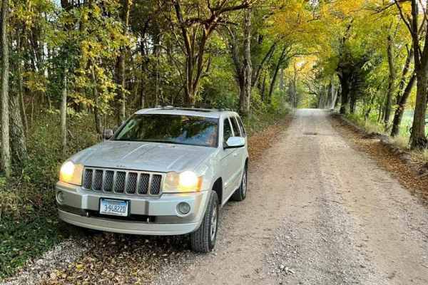
Farm Road 2025
Located in the Ozarks, Farm Road 2025 is not far from the city of Monett, with plenty of opportunity for fuel, food, and lodging. The path is also a shortcut to Farm Road 2022. The road has a spooky feeling no matter what time of day or year you go on it. The trees on both sides of the route meet ea...
Learn more about Farm Road 2025
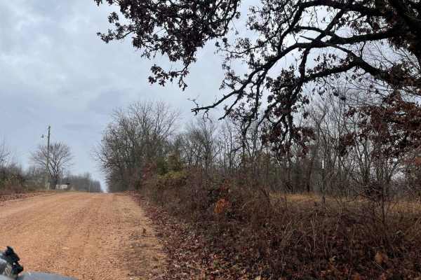
Ozark to Nettle
Enjoy some of Neosho's beautiful hidden scenery as you travel down this lovely dirt trail. This trail is another easy one for the area, there are no obstacles to overcome nor are there any branches or trees sticking out that will damage your rig. This can easily be completed with any of the other tr...
Learn more about Ozark to Nettle
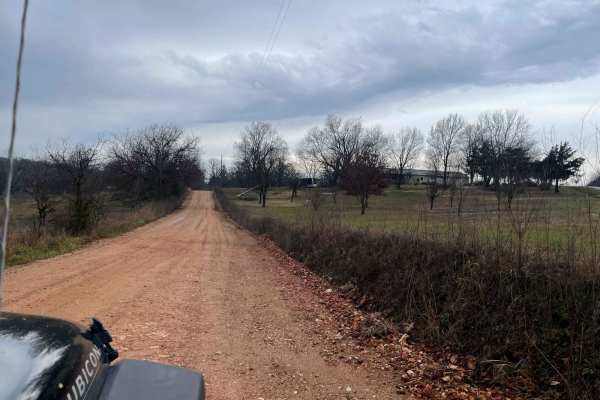
Palm Dirt Road
Ready to take a quick break after a long day? Look no further than Palm Road, the perfect dirt road that will curb your craving of going off road. This road is great at any time of year and is the perfect trail for any skill level. This road can be accessed by all vehicle types.
Learn more about Palm Dirt Road

FR 1182
This trail will take you from 76 to Farm Road 2185. The first half starts easy with little to no obstacles. Various parts have brush and bendy branches coming onto the trail, so some scratches on your rig can be expected. This trail is heavily wooded with no camping spots along it. Towards the middl...
Learn more about FR 1182
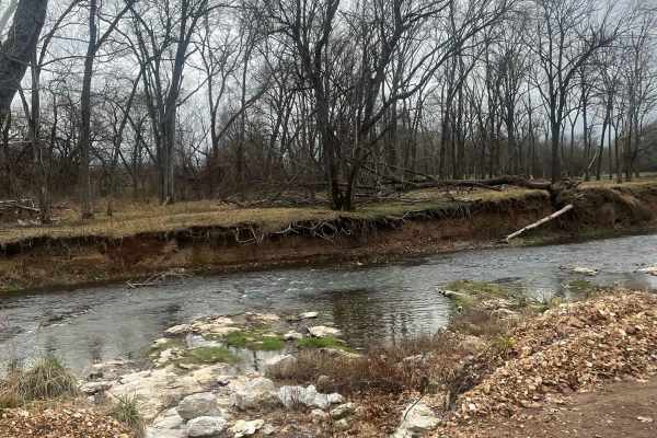
Country Road Nec35A
Take a break from the daily hustle and bustle of paved roads and enjoy a scenic view. This dirt road is perfect for someone looking to get their rig dirty without tearing anything up on their vehicle. There are no large obstacles that would cause any technical issues, this road can easily be travele...
Learn more about Country Road Nec35A
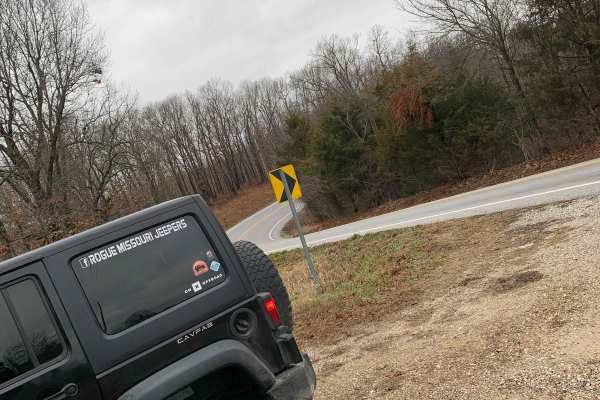
FR 1180 (Left Fork)
This is the perfect trail if you are looking to get out and enjoy the Mark Twain National Forest. This trail is very straightforward and can be easily completed solo. 4WD is not needed as this does not have any obstacles and the trail is very well maintained. There are some spots where it is a littl...
Learn more about FR 1180 (Left Fork)
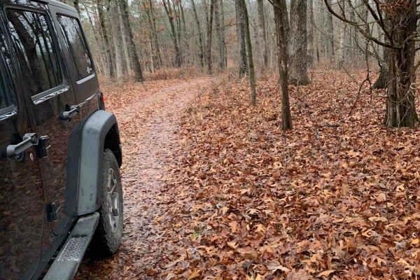
FR 1181 to Scroggins Ridge
If entering from 76, this trail will be on the right side of the fork and starts off easy, but if entering from Scroggins, the trail starts off difficult. This trail offers some gorgeous views of the Mark Twain National Forest. There are no spots to camp along this trail nor are there any clearings ...
Learn more about FR 1181 to Scroggins Ridge
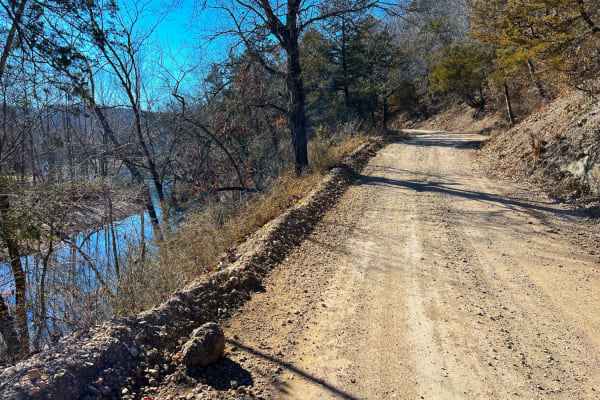
Flag Springs Road
Flag Springs Road is a combination of gravel, dirt, and hard-packed red clay. It passes through Flag Springs Conservation Area and a public shooting range. Meandering along Brush Creek, the road crosses multiple dry creek crossings opening up to private ranches when turning left at County Road SE E6...
Learn more about Flag Springs Road
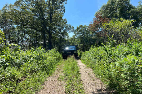
Scroggins Ridge to Rock Creek
Scroggins Ridge to Rock Creek is an ideal route for stock four-wheel-drive vehicles and SxSs looking for a scenic and moderately challenging adventure through the Mark Twain National Forest. Spanning approximately 6.3 miles, this gravel forest road begins its descent south from Highway 76, weaving t...
Learn more about Scroggins Ridge to Rock Creek
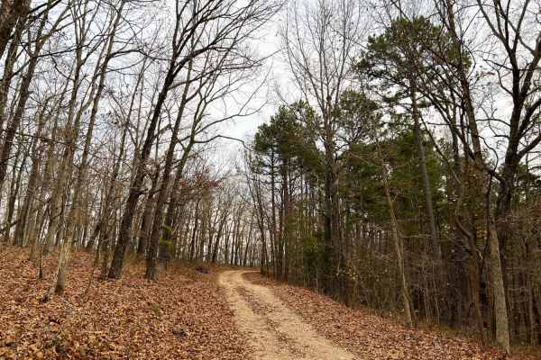
Mary Cole Ridge
Mary Cole Ridge, also known as Forest Road 1011, offers offroad enthusiasts an easy and scenic ridgeline drive through the dense hardwoods of Mark Twain National Forest. Suitable for stock four-wheel-drive vehicles, SxSs, and dirt bikes, this 3.3-mile trail is particularly stunning during the fall a...
Learn more about Mary Cole Ridge
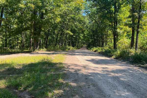
Piney Ridge
Piney Ridge is an easy-going, scenic gravel route perfect for beginners, families, and those looking for a relaxed drive through the Mark Twain National Forest. Stretching just over five miles, this wide, well-maintained two-lane road is highly accessible, requiring only a standard two-wheel-drive v...
Learn more about Piney Ridge
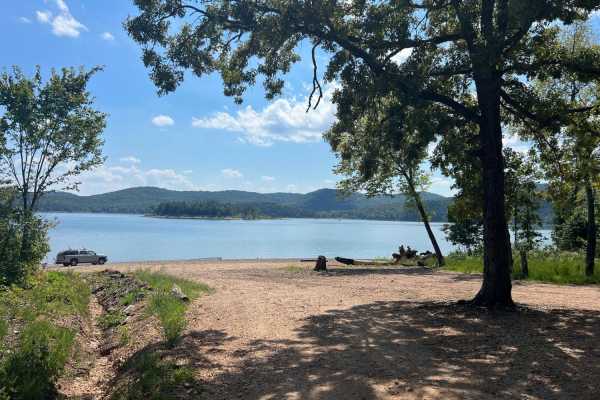
Rail Hollow
Rail Hollow starts out from Stallion Bluff Road/FSR2185 and descends along The Piney Creek Wilderness on 39-1M/FSR1018. It is a well-maintained gravel road freshly graded and wide enough for two vehicles to pass. Once passing the Smith Branch turn off FSR1019 the road becomes much steeper and loose ...
Learn more about Rail Hollow
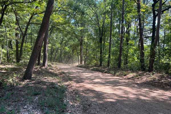
Smith Branch Trail
Smith Branch Trail is an ideal route for high-clearance four-wheel-drive vehicles and SxSs looking for a short, scenic drive through the Mark Twain National Forest to a waterfront destination. Spanning approximately 2.8 miles, this trail starts along the Rail Hollow Trail at FSR 1019 and descends fr...
Learn more about Smith Branch Trail
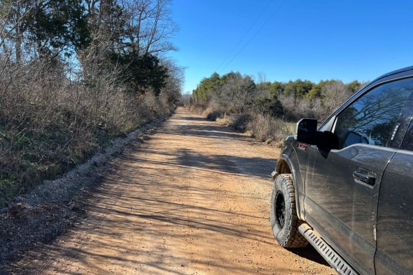
Cyclone Road
Cyclone Road starts at Big Sugar Creek and County Road SE E59 or Creekside Road at Creekside Campground. This follows the shuttle route if you're floating Big Sugar Creek to Cyclone. Warning: the floating takeout at Cyclone can be very dangerous and only experienced paddlers should float this sectio...
Learn more about Cyclone Road
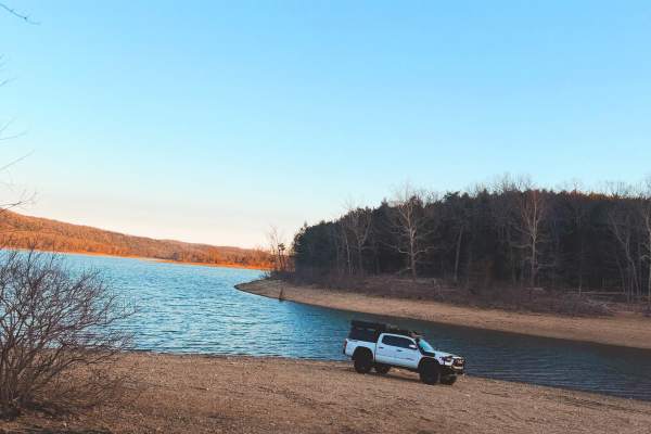
CarrLow Gap
This is an easy gravel access road that leads down to the shoreline of Table Rock Lake. The trail is well-maintained and suitable for stock 4x4s, AWD vehicles, and most high-clearance 2WD trucks or SUVs in dry conditions. The road gradually descends toward the lake with mild washboarding and small l...
Learn more about CarrLow Gap
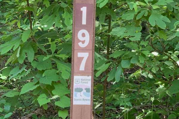
Mark Twain National Forest Scenic Drive
This is a Mark Twain National Forest Scenic Byway Drive between Highway 112 and 86 in southwest Missouri near Roaring River State Park and Eagle Rock, Missouri. Following NF Road 197 or FR 2275, it is an 8-mile east-west route that consists of well-maintained gravel roads that can be traveled by any...
Learn more about Mark Twain National Forest Scenic Drive
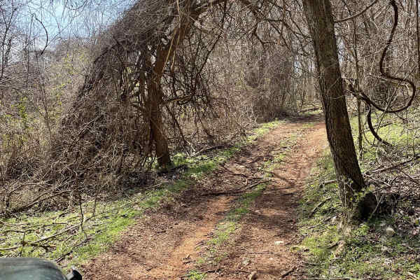
J&D Off-Road Park Chat Trail
This trail is located inside J&D off-road park. It is $25 to enter and that is good for the whole day. This trail begins with a rocky incline that is easily achieved in a 2WD drive. As you continue down the trail, you'll have the opportunity to go through some mud holes, after heavy rains they get ...
Learn more about J&D Off-Road Park Chat Trail
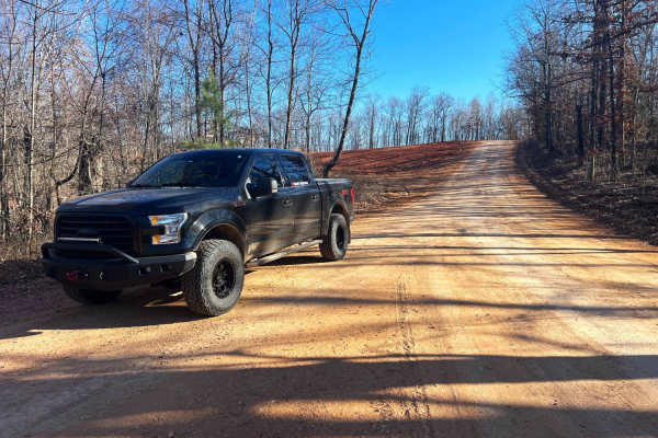
County Road SE9056
County Road SE9056 connects Arnett and Powell, Missouri through heavily forested private land. The county road descends to Big Sugar Creek and the town of Powell. This road is hard-packed dirt and clay that is riddled with deep pot holes hidden in the shadows. Keep an eye out for livestock and dogs;...
Learn more about County Road SE9056
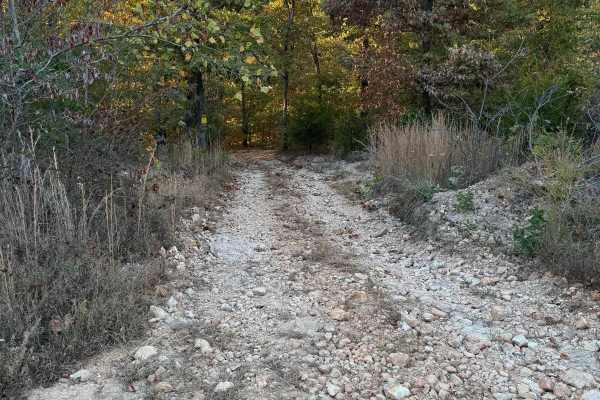
Green 38
Green 38 is located on the far North East corner of the park. This is a nondirectional trail so it can be run from either direction. Green 38 is connected to Overflow Parking 34 at one end and Green 1 at the other end. Depending on how busy the park is you may be able to see some deer or armadillo a...
Learn more about Green 38
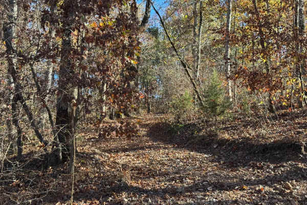
Green 139
Situated behind the Deadwood & Colonial Cabins is Green 139. This is a non-directional trail so you can run it from either direction. This trail is connected to Yellow 138 at one end and Green 140 at the other end. Depending on the bookings for the cabins you may have to drive around other people's ...
Learn more about Green 139
Beginner ATV trails near Freistatt, Missouri
Explore ATV-friendly trails near you. These trails are accessible for vehicles up to 50 inches wide, perfect for ATVs and smaller off-road machines.
Ozark to Nettle
Enjoy some of Neosho's beautiful hidden scenery as you travel down this lovely dirt trail. This trail is another easy one for the area, there are no obstacles to overcome nor are there any branches or trees sticking out that will damage your rig. This can easily be completed with any of the other tr...
Learn more about Ozark to Nettle
Palm Dirt Road
Ready to take a quick break after a long day? Look no further than Palm Road, the perfect dirt road that will curb your craving of going off road. This road is great at any time of year and is the perfect trail for any skill level. This road can be accessed by all vehicle types.
Learn more about Palm Dirt Road
FR 1182
This trail will take you from 76 to Farm Road 2185. The first half starts easy with little to no obstacles. Various parts have brush and bendy branches coming onto the trail, so some scratches on your rig can be expected. This trail is heavily wooded with no camping spots along it. Towards the middl...
Learn more about FR 1182
Country Road Nec35A
Take a break from the daily hustle and bustle of paved roads and enjoy a scenic view. This dirt road is perfect for someone looking to get their rig dirty without tearing anything up on their vehicle. There are no large obstacles that would cause any technical issues, this road can easily be travele...
Learn more about Country Road Nec35A
Beginner UTV/side-by-side trails near Freistatt, Missouri
Find UTV and side-by-side trails near you. These trails accommodate vehicles up to 60 inches wide, ideal for UTVs, side-by-sides, and wider off-road rigs.
Ozark to Nettle
Enjoy some of Neosho's beautiful hidden scenery as you travel down this lovely dirt trail. This trail is another easy one for the area, there are no obstacles to overcome nor are there any branches or trees sticking out that will damage your rig. This can easily be completed with any of the other tr...
Learn more about Ozark to Nettle
Palm Dirt Road
Ready to take a quick break after a long day? Look no further than Palm Road, the perfect dirt road that will curb your craving of going off road. This road is great at any time of year and is the perfect trail for any skill level. This road can be accessed by all vehicle types.
Learn more about Palm Dirt Road
FR 1182
This trail will take you from 76 to Farm Road 2185. The first half starts easy with little to no obstacles. Various parts have brush and bendy branches coming onto the trail, so some scratches on your rig can be expected. This trail is heavily wooded with no camping spots along it. Towards the middl...
Learn more about FR 1182
Country Road Nec35A
Take a break from the daily hustle and bustle of paved roads and enjoy a scenic view. This dirt road is perfect for someone looking to get their rig dirty without tearing anything up on their vehicle. There are no large obstacles that would cause any technical issues, this road can easily be travele...
Learn more about Country Road Nec35A
The onX Offroad Difference
onX Offroad combines trail photos, descriptions, difficulty ratings, width restrictions, seasonality, and more in a user-friendly interface. Available on all devices, with offline access and full compatibility with CarPlay and Android Auto. Discover what you're missing today!
Open Trail Map