Trail Overview
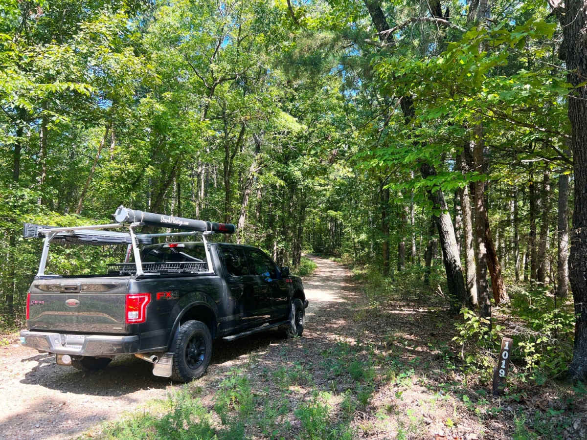
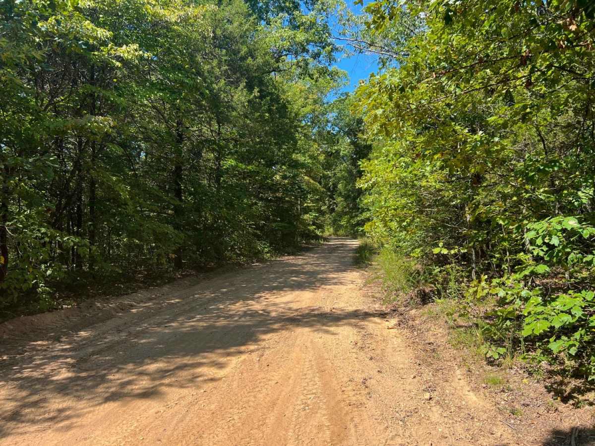
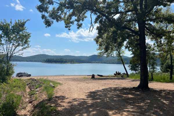
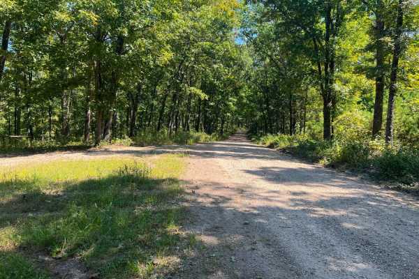
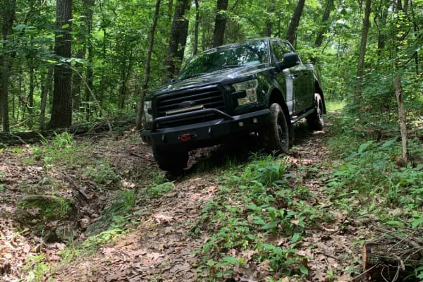
Smith Branch Trail is an ideal route for high-clearance four-wheel-drive vehicles and SxSs looking for a short, scenic drive through the Mark Twain National Forest to a waterfront destination. Spanning approximately 2.8 miles, this trail starts along the Rail Hollow Trail at FSR 1019 and descends from an elevation of 1,319 feet down to 936 feet near the shores of Table Rock Lake. The route consists of a narrow, single-lane dirt road with limited passing opportunities, requiring drivers to stay alert for oncoming traffic. While recently graded, the surface remains rougher than neighboring trails and features a cumulative elevation loss of about 492 feet as it winds through the dense hardwood forest.
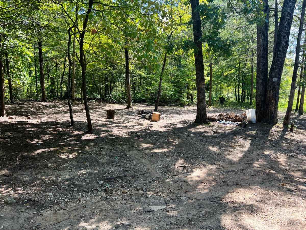
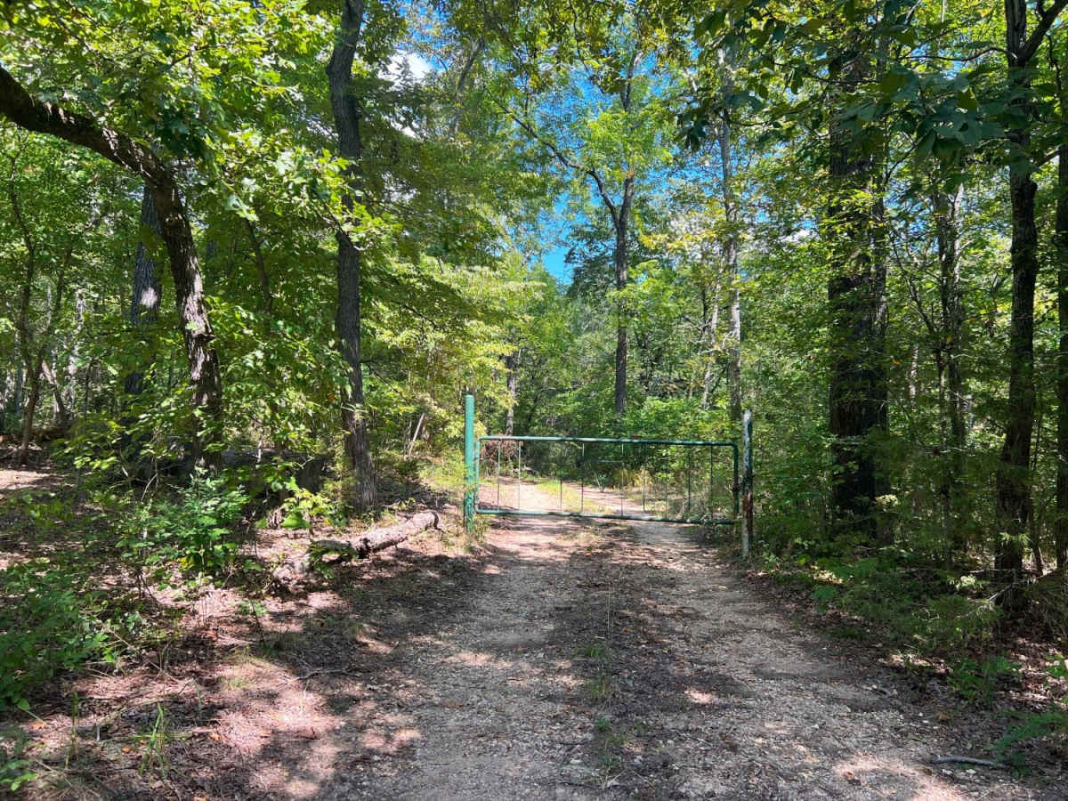
Navigating the trail is relatively straightforward, but drivers will encounter a steep, silty-sloped section that can become slick and highly challenging to traverse after heavy rains or winter snow. The route terminates at a T-intersection, where turning left leads to a gated private property boundary, and turning right leads directly to a popular waterfront dispersed camping area. Because this lakeside camping spot experiences heavy use, visitors must practice pack-it-in, pack-it-out principles to keep the area clean and preserve the surrounding forest.
Access Description
Respect private property boundaries at the trail's end, as the left fork of the T-intersection terminates at a closed gate. Dispersed camping at the waterfront on the right fork is free, but visitors must pack out all trash to preserve the heavily used area.




 Offroad