Mary Cole Ridge

Total Miles3.4
Technical Rating
2Easy
Best TimeSpring, Summer, Fall, Winter
Trail TypeFull-Width Road
Accessible By
Open Trail Map

Trail Overview

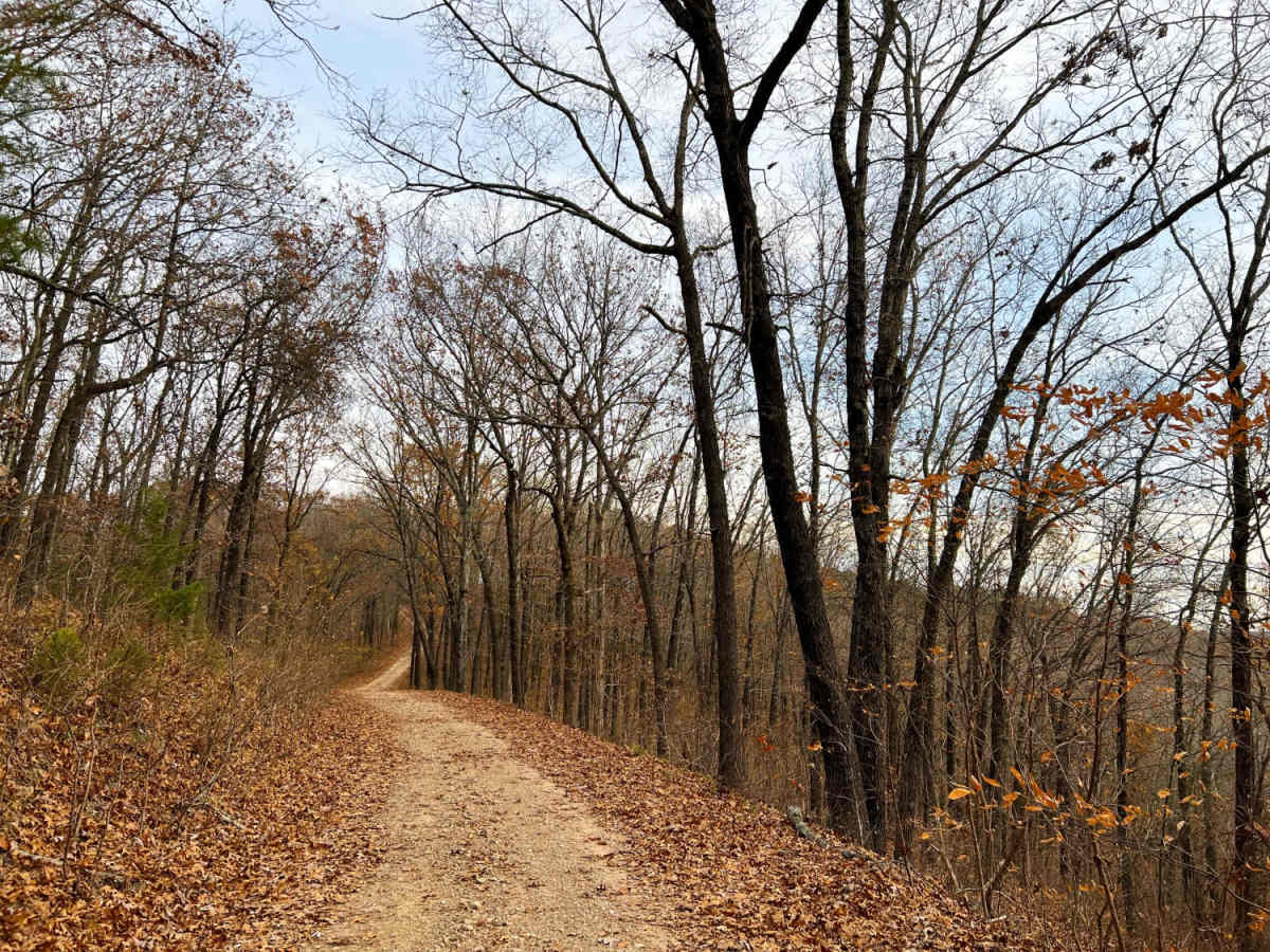
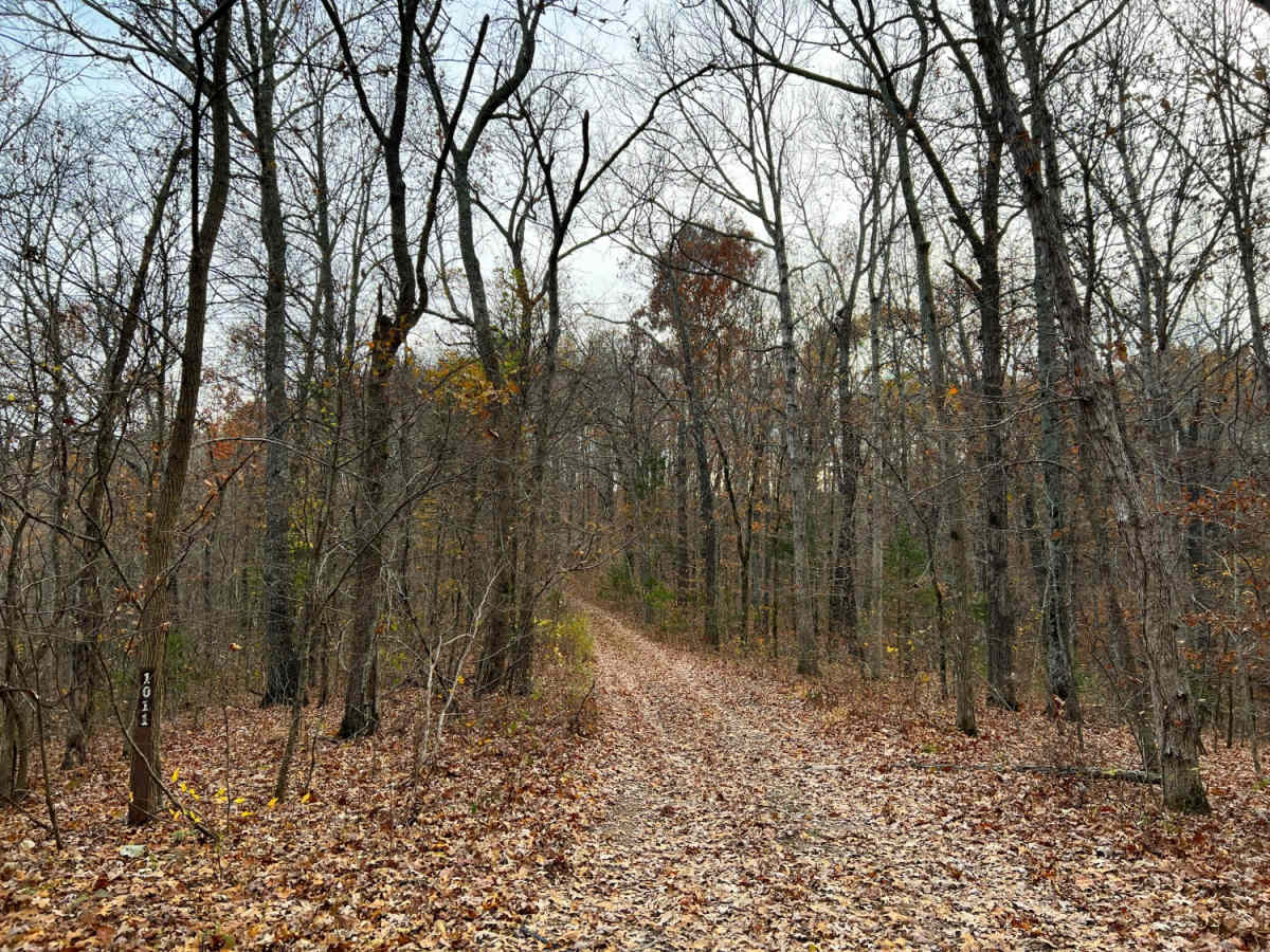
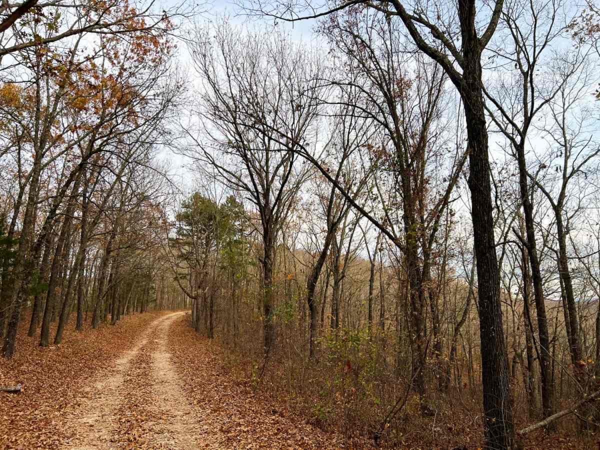
Mary Cole Ridge, also known as Forest Road 1011, offers offroad enthusiasts an easy and scenic ridgeline drive through the dense hardwoods of Mark Twain National Forest. Suitable for stock four-wheel-drive vehicles, SxSs, and dirt bikes, this 3.3-mile trail is particularly stunning during the fall and winter when leaf-off conditions open up distant, sweeping views of the surrounding Ozark hills. Starting off State Highway 86, the route begins at a spacious, gravel staging area perfect for parking trailers and unloading off-highway vehicles. The well-maintained gravel path meanders eastward along the high ridge, maintaining an average elevation of around 1,400 feet with minor elevation changes. As travelers progress along the route, they will find several dispersed campsite pull-offs and spur trails branching off the main road, which are highly suitable for more agile SxSs and motorcycles. While the primary surface is mostly gravel, drivers should watch for larger, sharp rocks that can be obscured under fallen leaves, especially during autumn. The trail becomes increasingly narrow and rugged as it descends toward its end, dropping about 440 feet in elevation before reaching a final turnaround point at the junction of other forest trails. Standard high-clearance vehicles will easily navigate the main road, but caution is recommended if venturing onto the narrower, more technical spur trails where the rating increases.

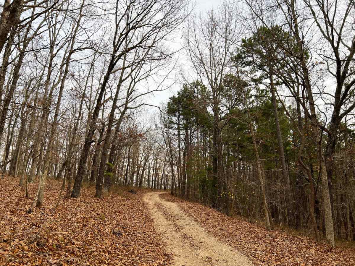
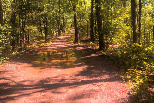
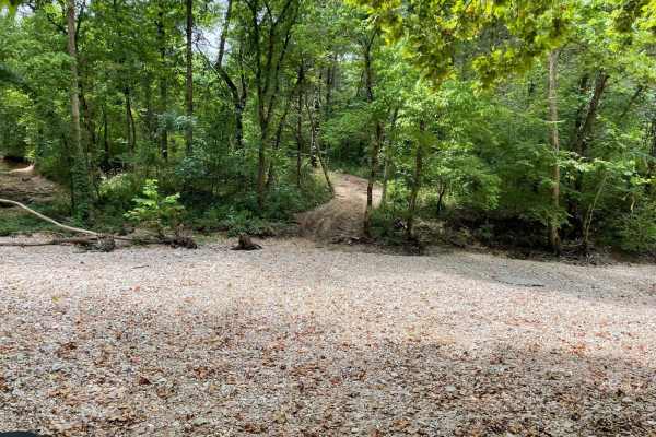
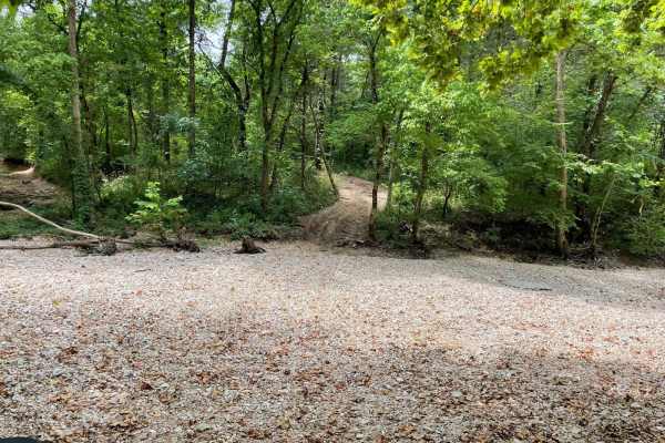
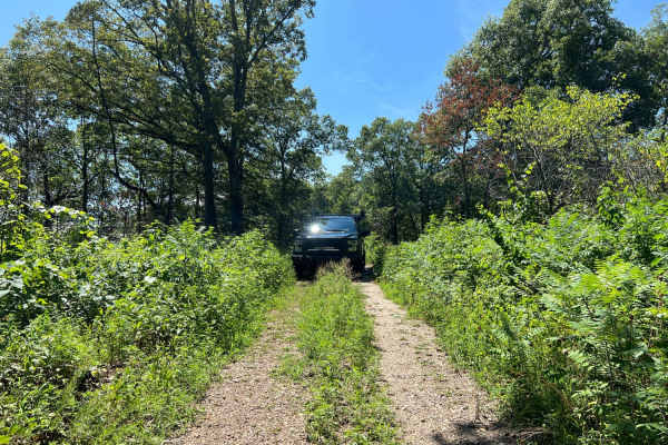
Photos of Mary Cole Ridge

Difficulty

The road is well maintained gravel with large pieces of rock and gravel hidden under the leaves. The only difficulty is when it starts to narrow. The spur trails are more technical and narrow from there.

Technical Rating

2

Status Reports

Add Status Report
Stephen Smith
Apr 11, 2025
2020 Chevrolet Colorado
Open
easy trail.
Chris Flinn
Apr 01, 2025
2023 Jeep Wrangler 4xe
Open
Muddy/Wet
One of the off shoots I started down and ended up going 4low and backing back out. I had to move a downed tree part of the way back up so I could avoid getting in a bad position. One part of this off shoot had me 12 degrees down hill and 10 degrees roll to the driver. Definitely not “easy” but most of the others were easy.
Tim Boettler
Jan 01, 2025
Open
Normal
Trail was open and in excellent shape, alot of storm damage in the forest and next to the road, all trees had been cut off the path. Was alot of fun in the Jeep!
Michele Delcoure
Oct 19, 2024
2023 Jeep Gladiator
Obstructed
There is a big fallen tree crossing the path. You can take a left and it takes you on a rideable unknown trail. We did not take the detour path. It was a bit tight for our gladiator.
Dustin Chesser
Sep 15, 2024
Open
Dusty
The beginning of the trail was a smooth gravel road. But about half way in it narrowed to a dirt path. Which has fallen trees along the way. In probably 6 spots. Someone has carved paths around them throught the woods. But it’s super tight. You def need a spotter. We rubbed and raked most of the way through. Be prepared to have limbs running everywhere. As it was super tight. It seams as tho your never going to get out. But if you slowly progress. You will come out to the main highway. I will be going back to camp. Awesome spot in the Mark Twain National Forest.
Brandon Grissam
Jul 06, 2024
Obstructed
Downed Tree
Cody Tubbs
Jul 05, 2024
Obstructed
Downed Tree
Shianne Rockwell
Oct 07, 2023
2015 Jeep Wrangler
Open
Normal
Trisha Beck
May 04, 2023
Permanently Closed
Posted Private PropertyLocked Gate
Rob Chirpich
Apr 27, 2023
2022 Ford Bronco
Open

Mary Cole Ridge Trail can be accessed by the following ride types:

  • 60 Inch
  • High Clearance
  • Full Width

Mary Cole Ridge Map

The onX Offroad Difference

onX Offroad combines trail photos, descriptions, difficulty ratings, width restrictions, seasonality, and more in a user-friendly interface. Available on all devices, with offline access and full compatibility with CarPlay and Android Auto. Discover what you're missing today!

Open Trail Map