
Beginner Off-Road Trails
Near Francis, Utah
Explore All Beginner Trails Near Francis, Utah
Beginner Off-Road Trails Near Francis, Utah
Discover the best beginner-friendly off-road trails near you. These easier, lower-rated trails are a great place to start — browse trail maps, check difficulty ratings, and find your next adventure.
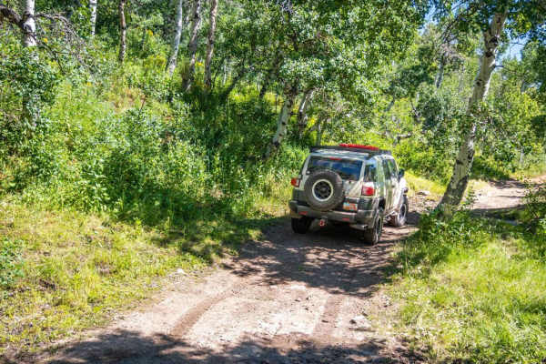
Wide Hollow
Wide Hollow makes its way up the valley into the Hoyt Peak trail system. Some sections are tight and are a little slow-going if you do not want pinstripes. The trail ends up in more of an aspen grove with a few small creeks and pond crossings. Watch out for the cattle when heading up this trail beca...
Learn more about Wide Hollow
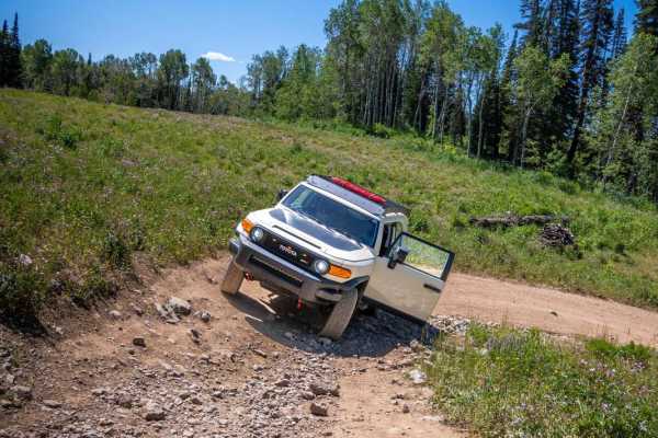
Hoyt Canyon
Hoyt Canyon winds up to where Wide Hollow connects, and continues up towards the Hoyt Peak saddle. Expect a dusty trail that continues through aspen and pine trees for the most part. The trail is pretty simple except for 2 small rock gardens that are a little more slow-going. The rocks are not very ...
Learn more about Hoyt Canyon
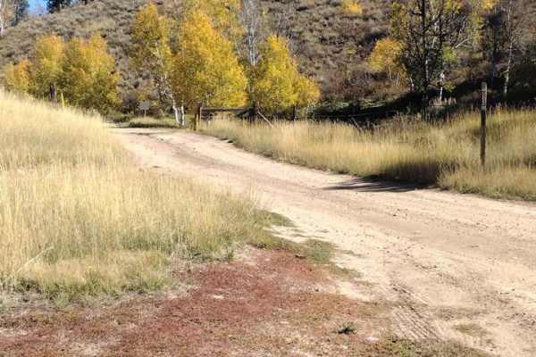
FS 80202 - Cedar Hollow
This is a very easy road that most vehicles with more than 6-8 inches of clearance could travel, with the right placement and driving in the right spots. Right after turning off the pavement, there is a parking area where you can unload ATVs and or air down. This trail goes up to open meadows that h...
Learn more about FS 80202 - Cedar Hollow
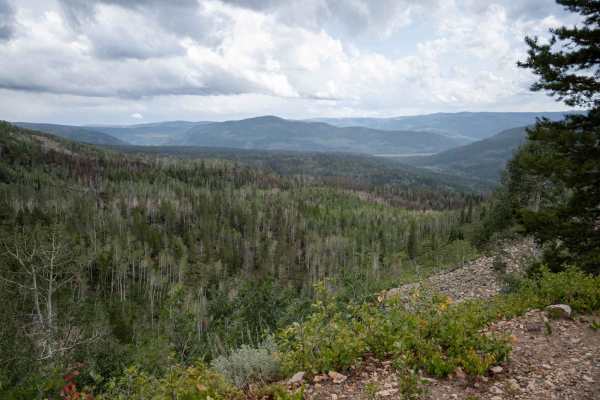
Upper Setting Road
This trail is pretty simple and most cars could make it up to the top. There are a few rocky sections and ruts that exist on the trail. There is one section that is like a shelf road but it is pretty wide and not bad at all. There are many campsites and side trails to go and drive up or hike up, and...
Learn more about Upper Setting Road
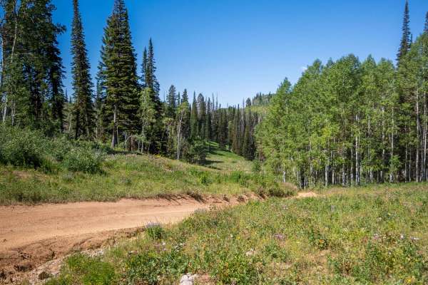
Hoyt Saddle Trail
This trail will make its way as far as you can drive up towards Hoyt Peak. Expect a short dusty trail with some medium sized ruts in the ground. There is a lookout before the fence that has a view of some lakes and the side view of Hoyt Peak. Pretty simple trail with some great views of the surround...
Learn more about Hoyt Saddle Trail
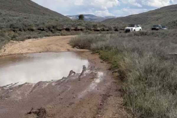
Little Pole Canyon
This is a pretty simple road that most cars could make it up. The only thing that would make this difficult is some of the deep ruts with thick mud in the springtime. In the summer the puddles and mud are usually dried up but are much deeper and thicker in the spring and fall time. Note that the sid...
Learn more about Little Pole Canyon
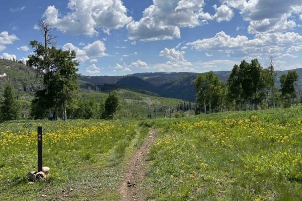
Willow Hollow Ridge
Willow Hollow Ridge Trail connects Campbell Hollow Ridge Road and Mill Hollow Ridge Road. When riding West to East, this trail begins in a wooded burn area and climbs to a field. Here, the trail intersects with Little South Fork Winter Trail. Past the field, you'll enter an aspen forest that climbs ...
Learn more about Willow Hollow Ridge
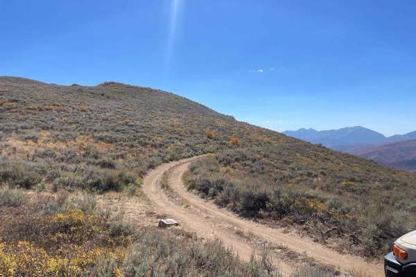
Polly Ridge
This trail takes you from the top of the Polly Springs trail all the way south to get a view over the Heber Valley. It is simple but can be tight in some sections. It has a few sections with trees on one side and a steep drop-off on the other, with little room to spare on either side. This trail end...
Learn more about Polly Ridge
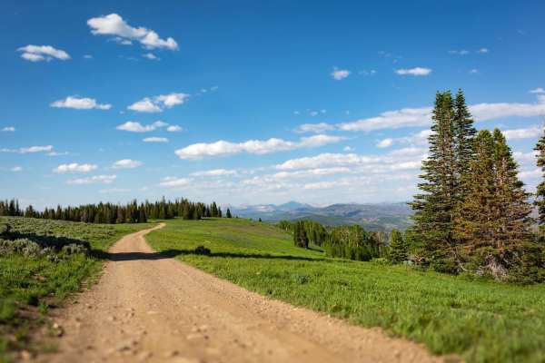
Mill Hollow Ridge - FR 70060
Mill Hollow Ridge mostly runs parallel to Mill Hollow - Duchesne Ridge (FR 70054), but is less busy. This is great for camping because this trail has quite a few short roads leading to primitive camp sites. The road itself can be looked at as either wide enough for one vehicle or narrow enough for t...
Learn more about Mill Hollow Ridge - FR 70060

Bear Hollow - FS 70440
Fun little side trail that leads to a beautiful lake. The trail is neither overly difficult nor easy. Expect tight, off-camber sections as well as some rock gardens. Aspen and wildflowers are abound on this trail. At the end, you are rewarded with a natural alpine lake and a great potential camping ...
Learn more about Bear Hollow - FS 70440
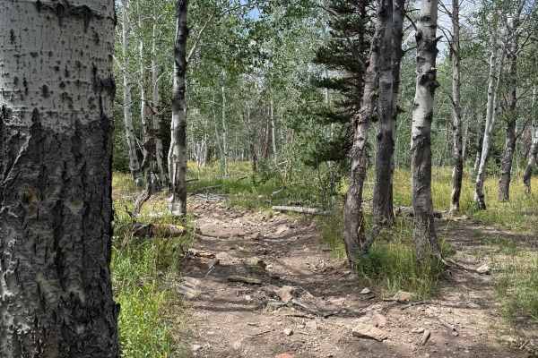
South Fork Overlook - FS 030
This trail takes you from the Red Pine area and gives you a view of the South Fork Weber River. The trail starts on a mostly flat road with small rocks scattered. Eventually, it starts to lose some elevation and enters a forested area; this section is tight and overgrown. There are a few spots with ...
Learn more about South Fork Overlook - FS 030
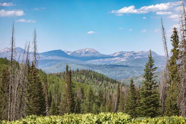
Heber Mtn (FR 70096)
Heber Mountain is a quiet, gentle escape into the pines and aspens along a narrow, meandering road. In spring and early summer, meadows filled with fragrant wildflowers may flank parts of the journey. On the eastern half, the vegetation opens to grass meadows and a smoother ride.
Learn more about Heber Mtn (FR 70096)
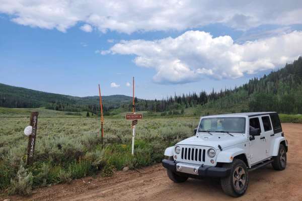
Soapstone Pass Trail
Soapstone Pass Trail is best for people looking to camp and seeking an easy way to get deeper into the Uintas Mountains. This road crosses from Mirror Lake Highway (150) down to 35 through the Uintas at Soapstone Pass. The road is mostly dirt, with climbs up switchbacks through Aspen forests into th...
Learn more about Soapstone Pass Trail
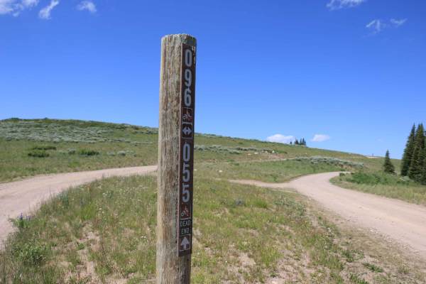
Heber Mountain Spur 1 - FS 70055
This trail takes you to the top of Heber Mountain and provides beautiful views of the Heber Valley below. This trail is tame but not graded. It is narrow with no room to pass. Along this trail are plenty of side trails to venture down and find that perfect campsite.
Learn more about Heber Mountain Spur 1 - FS 70055
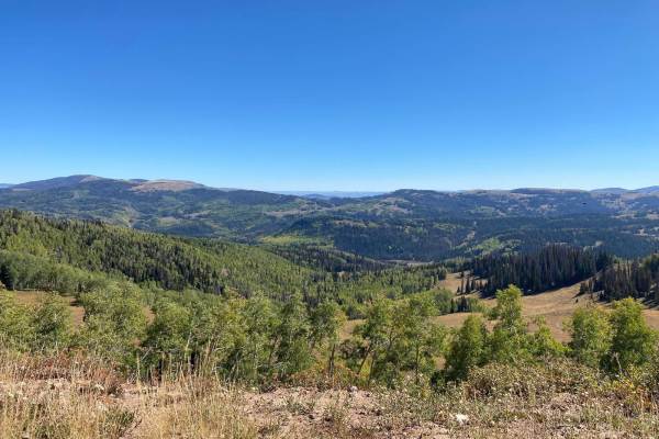
Duchesne Ridge
The Duchesne Ridge trail is a scenic and great way to access the Uinta National Forest. The area offers plenty of dispersed camping with many graded forest roads to explore. As you venture in and out of the pines and aspens, you'll find many spots to stop and take in the breathtaking views. Note tha...
Learn more about Duchesne Ridge
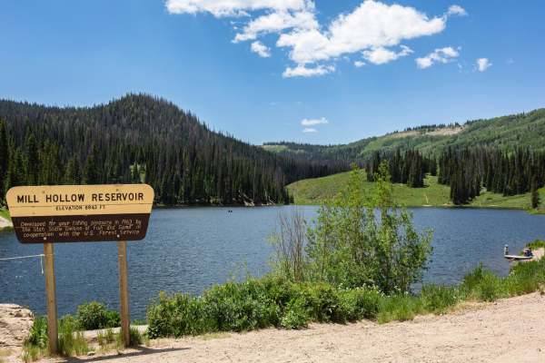
Mill Hollow - Duchesne Ridge (FR 70054)
Mill Hollow-Duchesne Ridge (FR 70054) is one of the main arteries through this area of the forest. The road is wide enough for cars to pass, and graded gravel. There are some places where the most difficult terrain is washboarding on the road. In the spring, be mindful of deceptively deep snow cover...
Learn more about Mill Hollow - Duchesne Ridge (FR 70054)
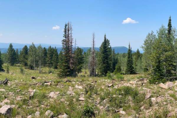
Pit & Page Hill (FR 80170)
Pit & Page Hill (FR 80170) skirts the south end of the Pitt & Page Hill peak (elevation 10,230 feet) with plenty of spots for camping among Ponderosa Pines, Lodgepole pines, and Aspens. The trail is more rocky on the east end, with the occasional muddy patch and maybe even a downed tree across the ...
Learn more about Pit & Page Hill (FR 80170)
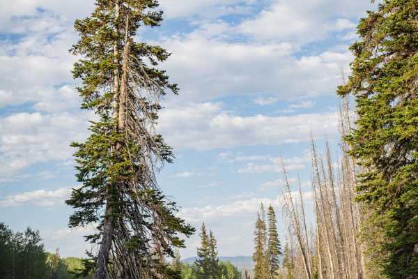
Campbell Hollow - FR70122
Campbell Hollow (FR70122) connects Mill Hollow-Duchesne Ridge (FR 70054) on the east with Mill Hollow Ridge (FR 70060) on the west. This trail is fairly smooth, wide enough for one vehicle. From the east, the trail is wooded with pines and aspens and ascends a little over 1000 feet. At this point,...
Learn more about Campbell Hollow - FR70122
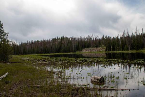
Iron Mine - FS 80414
This 8-mile-long out-and-back trail branches off Soapstone Pass and follows the steep hillside East before the terrain levels out, then turns south towards Iron Mine Lake. This trail is an easy trail as it is a well-maintained road that has plenty of places to pass other vehicles in the narrow secti...
Learn more about Iron Mine - FS 80414
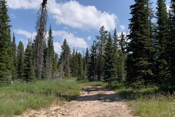
Pit & Page S14 (FR 80930)
Wide enough for one vehicle, Pit & Page S14 (FR 80930) is a very rocky road, although relatively easy. Surrounded by lodgepole and ponderosa pines, this short trail connects to other trails to complete a circuit from Lambert Meadows, around Pitt & Page Hill, and back to Lambert Meadows. Cell servi...
Learn more about Pit & Page S14 (FR 80930)
Beginner ATV trails near Francis, Utah
Explore ATV-friendly trails near you. These trails are accessible for vehicles up to 50 inches wide, perfect for ATVs and smaller off-road machines.
Wide Hollow
Wide Hollow makes its way up the valley into the Hoyt Peak trail system. Some sections are tight and are a little slow-going if you do not want pinstripes. The trail ends up in more of an aspen grove with a few small creeks and pond crossings. Watch out for the cattle when heading up this trail beca...
Learn more about Wide Hollow
Hoyt Canyon
Hoyt Canyon winds up to where Wide Hollow connects, and continues up towards the Hoyt Peak saddle. Expect a dusty trail that continues through aspen and pine trees for the most part. The trail is pretty simple except for 2 small rock gardens that are a little more slow-going. The rocks are not very ...
Learn more about Hoyt Canyon
FS 80202 - Cedar Hollow
This is a very easy road that most vehicles with more than 6-8 inches of clearance could travel, with the right placement and driving in the right spots. Right after turning off the pavement, there is a parking area where you can unload ATVs and or air down. This trail goes up to open meadows that h...
Learn more about FS 80202 - Cedar Hollow
Upper Setting Road
This trail is pretty simple and most cars could make it up to the top. There are a few rocky sections and ruts that exist on the trail. There is one section that is like a shelf road but it is pretty wide and not bad at all. There are many campsites and side trails to go and drive up or hike up, and...
Learn more about Upper Setting Road
Beginner UTV/side-by-side trails near Francis, Utah
Find UTV and side-by-side trails near you. These trails accommodate vehicles up to 60 inches wide, ideal for UTVs, side-by-sides, and wider off-road rigs.
Wide Hollow
Wide Hollow makes its way up the valley into the Hoyt Peak trail system. Some sections are tight and are a little slow-going if you do not want pinstripes. The trail ends up in more of an aspen grove with a few small creeks and pond crossings. Watch out for the cattle when heading up this trail beca...
Learn more about Wide Hollow
Hoyt Canyon
Hoyt Canyon winds up to where Wide Hollow connects, and continues up towards the Hoyt Peak saddle. Expect a dusty trail that continues through aspen and pine trees for the most part. The trail is pretty simple except for 2 small rock gardens that are a little more slow-going. The rocks are not very ...
Learn more about Hoyt Canyon
FS 80202 - Cedar Hollow
This is a very easy road that most vehicles with more than 6-8 inches of clearance could travel, with the right placement and driving in the right spots. Right after turning off the pavement, there is a parking area where you can unload ATVs and or air down. This trail goes up to open meadows that h...
Learn more about FS 80202 - Cedar Hollow
Upper Setting Road
This trail is pretty simple and most cars could make it up to the top. There are a few rocky sections and ruts that exist on the trail. There is one section that is like a shelf road but it is pretty wide and not bad at all. There are many campsites and side trails to go and drive up or hike up, and...
Learn more about Upper Setting Road
The onX Offroad Difference
onX Offroad combines trail photos, descriptions, difficulty ratings, width restrictions, seasonality, and more in a user-friendly interface. Available on all devices, with offline access and full compatibility with CarPlay and Android Auto. Discover what you're missing today!
Open Trail Map