South Fork Overlook - FS 030

Total Miles1.5
Technical Rating
3Easy
Best TimeSummer, Fall
Trail TypeHigh-Clearance 4x4 Trail
Accessible By
Open Trail Map

Trail Overview

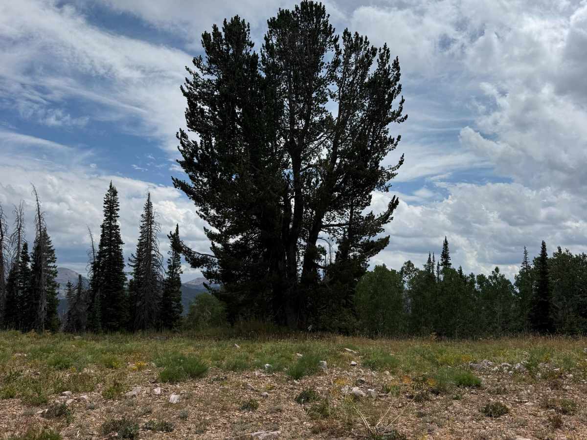
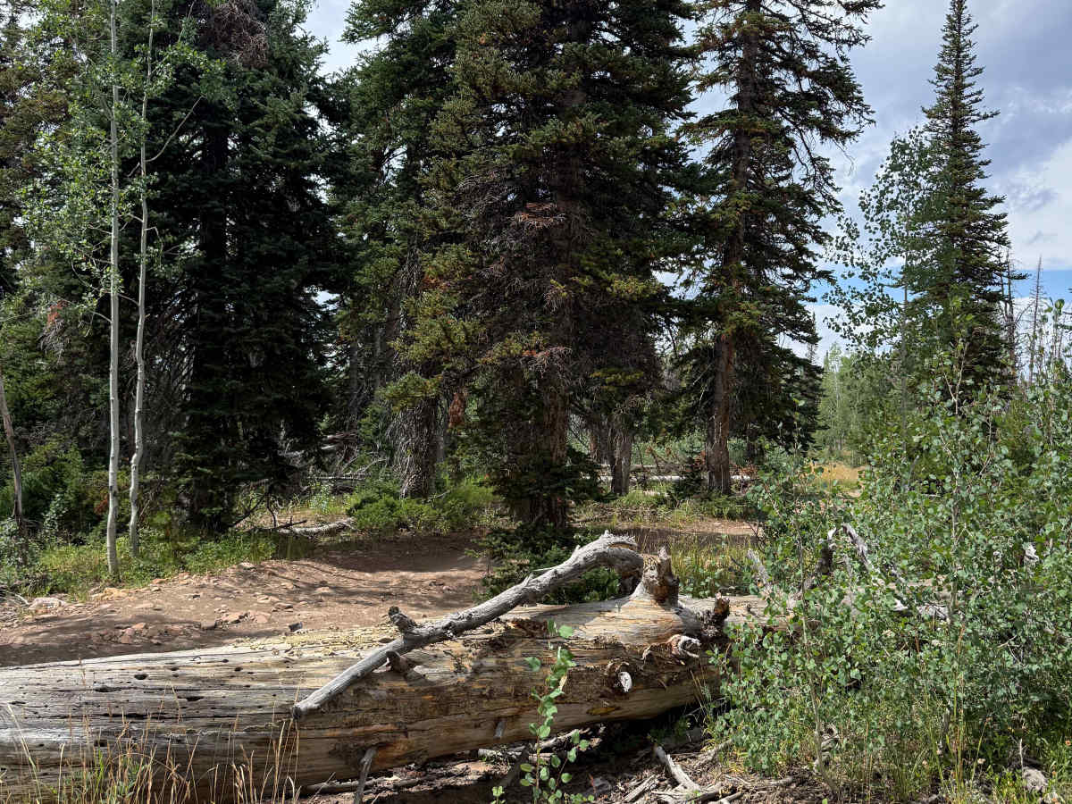
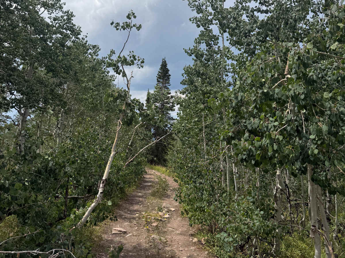
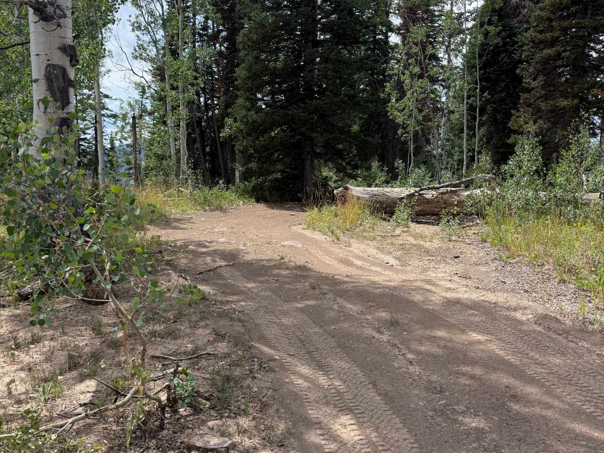
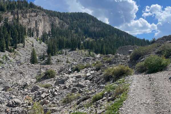
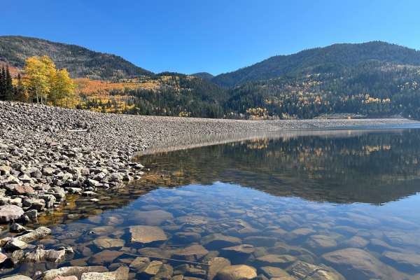
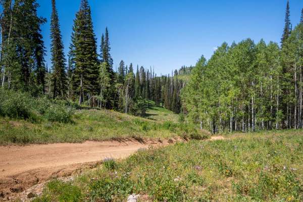
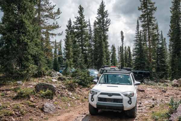
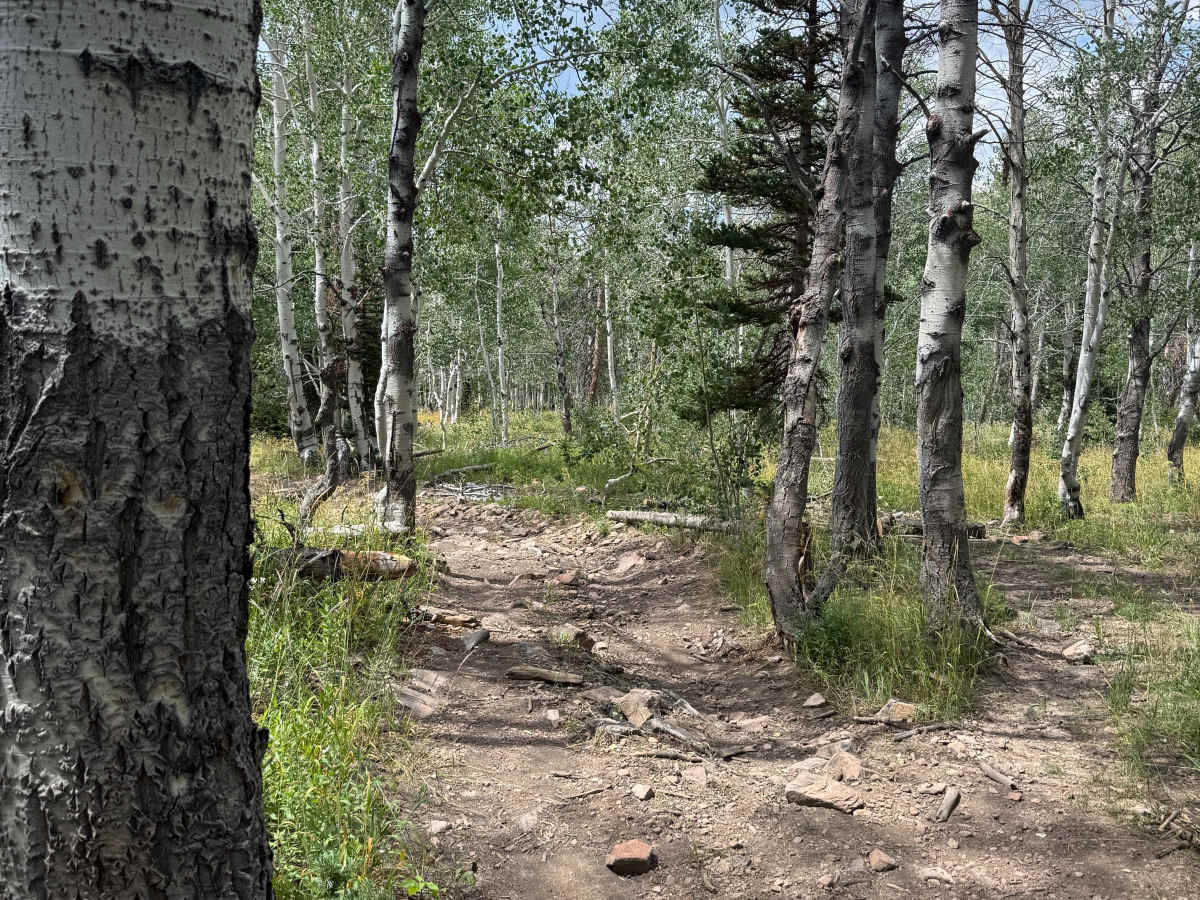
This trail takes you from the Red Pine area and gives you a view of the South Fork Weber River. The trail starts on a mostly flat road with small rocks scattered. Eventually, it starts to lose some elevation and enters a forested area; this section is tight and overgrown. There are a few spots with trees that are very tight together, so any large or long vehicles will have a hard time getting past these sections. There are not many spots to flip around until it opens up towards the end of the trail. After the trees open back up, the view of the canyon below becomes visible. The very end of the trail is definitely the tightest section, so note that you may have to back out of the last hundred feet or so if needed.

Photos of South Fork Overlook - FS 030

Difficulty

One vehicle wide for the majority of the trail, and has rock/log obstacles under 12 inches tall.

Technical Rating

3

South Fork Overlook - FS 030 Trail can be accessed by the following ride types:

  • Single Track
  • 50 Inch
  • 60 Inch
  • High Clearance

South Fork Overlook - FS 030 Map

The onX Offroad Difference

onX Offroad combines trail photos, descriptions, difficulty ratings, width restrictions, seasonality, and more in a user-friendly interface. Available on all devices, with offline access and full compatibility with CarPlay and Android Auto. Discover what you're missing today!

Open Trail Map