
Beginner Off-Road Trails
Near Fitchburg, Massachusetts
Explore All Beginner Trails Near Fitchburg, Massachusetts
Beginner Off-Road Trails Near Fitchburg, Massachusetts
Discover the best beginner-friendly off-road trails near you. These easier, lower-rated trails are a great place to start — browse trail maps, check difficulty ratings, and find your next adventure.
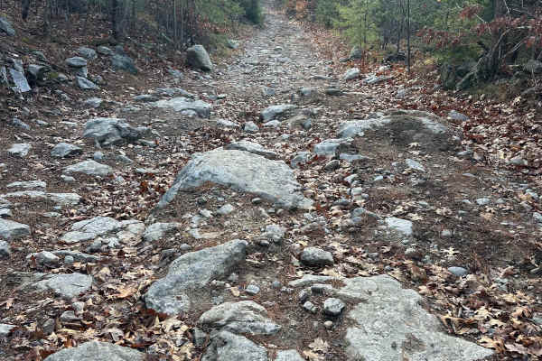
Hutchinson Hill
Hutchinson Hill is a class 6 road consisting of dirt, gravel, and some areas of large boulders. Both ends of the road consist mostly of flat areas of dirt and gravel with a hill section in the center. The hill section consists of large rocks, some sticking up as much as 12 to 16 inches, and will req...
Learn more about Hutchinson Hill
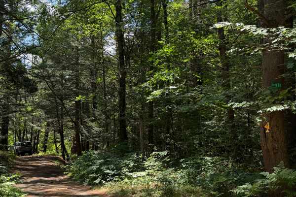
Tracy Lane
This is a short dirt road connecting Coldbrook Road to Brigham Road. From Brigham Road, Tracy Lane follows along the west bank of the Ware River's west branch. Looking southeast, you will have great views of the wetlands comprising the Ware River watershed. Coming out of the trees, there will be a p...
Learn more about Tracy Lane
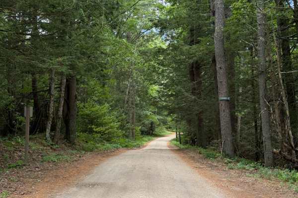
Coldbrook Road
Coldbrook Road offroad section begins just south of Barre Falls Dam at Parker Cemetery. Nearly the entire route is a gradual downhill grade. There are plenty of clearings along the route. The road is in great shape and, according to Department of Conservation and Recreation, is intended to be open y...
Learn more about Coldbrook Road
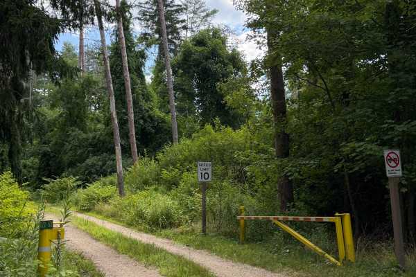
Crossover Road
Crossover Road or Gate 122-2 Road is a short spur connecting Coldbrook Springs with Pine Road. Gated on both ends with intermittent access. With dense forest on all sides, this trail is short but really encourages you to slow down and take in how diverse New England forests can be.
Learn more about Crossover Road
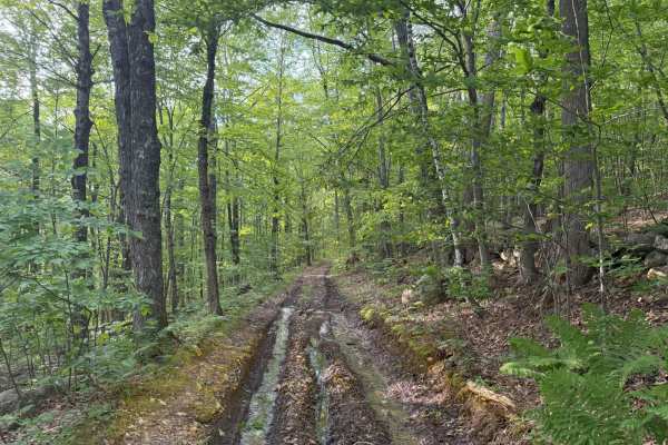
Brimstone Corner Road
This Class 6 road can be accessed from the north on Brimstone Corner Road (paved section), from the southeast on Old Antrim Road (Class 6), or from the southwest on Weston Road (Class 6). This fairly easy route and is a Class 6 winding road through NH's old-growth forest. The trail is a dirt road wi...
Learn more about Brimstone Corner Road
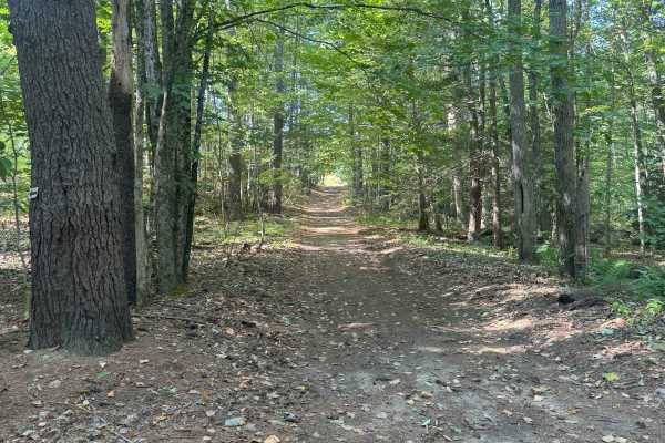
Hersey Road
This is a Class VI road in Danville, New Hampshire. You can access the trail from the east off of State Route 111A, turning onto the Hersey Road paved section. Trail access is to the left at the split (GH Carter Drive goes right), up into the woods. Follow signage for Beehive Hut at the split for th...
Learn more about Hersey Road
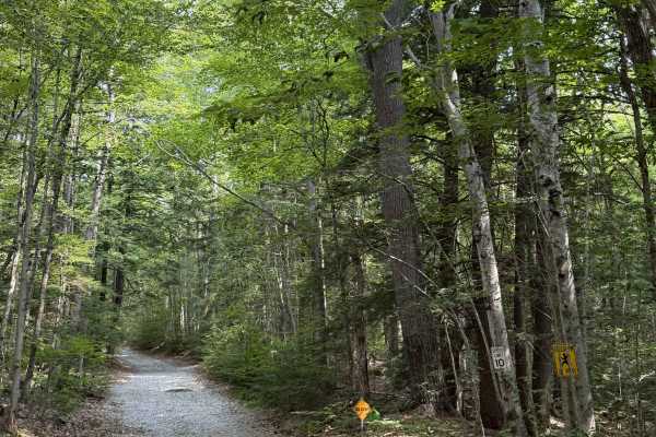
Mink Hill Road
Mink Hill is a smooth gravel road that is still maintained. There are several homes on this route, so be respectful of the land. Fresh gravel has been laid down and is still loose. You'll pass some wetlands on your left before a short climb. There is a post at the end of the trail indicating that OH...
Learn more about Mink Hill Road
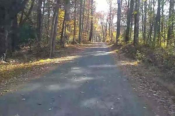
Wakefield Pond & Silver Brook Roads
This trail starts with a "1" rating until you pass the two houses (slowly please), then becomes an upper "3" rating as it is poorly maintained and often muddy until it enters Rhode Island which is better at maintaining it. The trail terminates at the junction of Border Trail and Munyon Trail in the ...
Learn more about Wakefield Pond & Silver Brook Roads
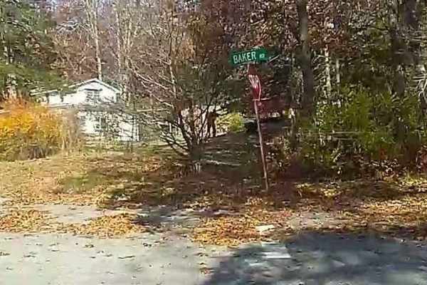
Baker & Cruff Roads
Baker Road starts with a "1" rated car-friendly mixed gravel and paved section. It becomes a "2" rated two-track when it crosses Quaddick Town Farm Road. Most people enter the trail here to avoid houses. As it crosses Wakefield Pond Road it becomes "3" rated (4WD needed), uphill on loose and medium ...
Learn more about Baker & Cruff Roads
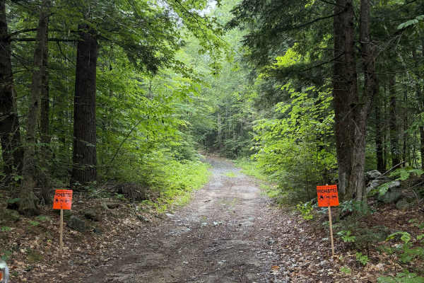
Bound Tree Road
New Hampshire Class VI road. This in-and-out route ends at a small pond, with enough room to turn around. The trail is overgrown and may cause light pinstriping as it passes between property lines and old New England stone walls, with distinct forest types on either side. Posted signage from a lando...
Learn more about Bound Tree Road
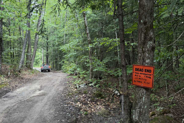
Dummer Road
New Hampshire Class VI road / multi-use trail. This dirt road includes several low areas that show signs of flooding after heavy rain. Use caution near wooden planks covering rusted culverts, as exposed metal may puncture tires. The route is shortened for off-highway vehicles, and signage at the end...
Learn more about Dummer Road
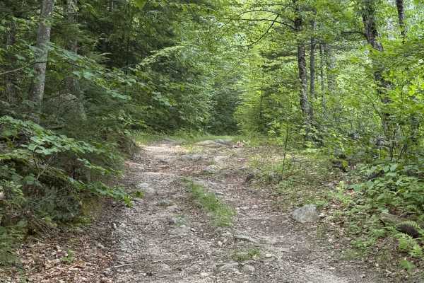
Page Trace Road
New Hampshire Class VI road. Page trace intersects Cunningham Road and is a great continuation through the woods. The route contains a few small rock gardens and some relatively steep climbs. It is hard-packed gravel and dirt for the most part. Some sections are rutted and will certainly become mud ...
Learn more about Page Trace Road
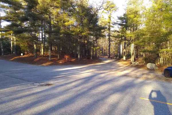
Center Trail
Center Trail is the longest trail in the Northwest Rhode Island Trail Network. It runs from Pulaski State Park on its West end (photos 1-3) to Olney Keach Road on its East end (photo 7). The gate on its West end in Pulaski State Park is closed during the winter, but you can still use the rest of the...
Learn more about Center Trail
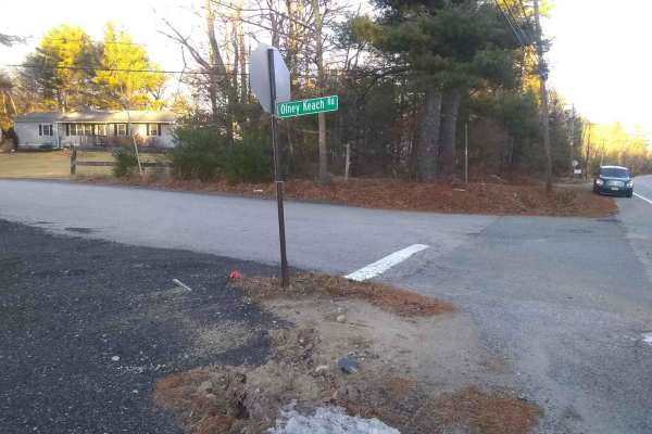
Olney Keach Road
Head down Onley Keach Road and begin once the pavement turns to dirt just after the houses. This trail is a dirt and gravel road. It will loosen your filings and shed parts from your vehicle. The trail's main redeeming value is that it forms the Eastern border of the Northeast Rhode Island Trail Net...
Learn more about Olney Keach Road
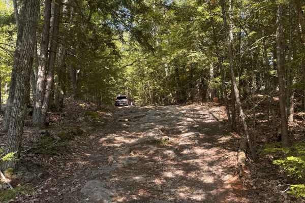
Mountain Road
Mountain Road is a New Hampshire Class VI road. Coming from the south, the route stays right, indicated by a Class VI sign, as Swamp Road goes left. Cow Pastures can be seen to the right as you begin your first climb onto Mountain Road. You will come back down to an intersection for Mountain View Sp...
Learn more about Mountain Road
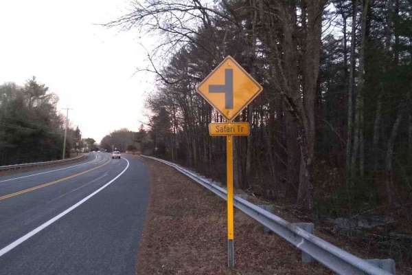
Richardson Clearing Trail & Cold Spring Drive
Richardson Clearing Trail (photo five shows where it leaves Safari Trail) becomes Cold Spring Drive at an open gate (photo six). This trail provides access to Center Trail (photo seven) in the Northeast Rhode Island Trail Network and is the shortest route to Carl Erickson Covered Bridge on Inner Bor...
Learn more about Richardson Clearing Trail & Cold Spring Drive
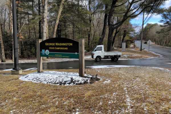
George Washington State Park Trail
This easy trail leads to the George Washington State Park Campground and continues through a gate at the North end that is only open when the campground is closed for the winter from November until mid-April. It provides access to the Center Trail in the Northeast Rhode Island Trail Network.
Learn more about George Washington State Park Trail
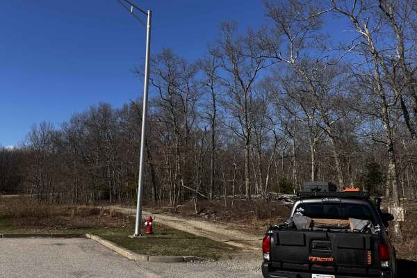
Hanton City Road
Public road that is no longer maintained. Can approach from west off of Decotis Farm Road or from East off of West Reservoir Road. Approaching from Decotis, the road begins at the cul-de-sac. Parts of the road still have remnants of pavement before it was abandoned. The route was dry when mapped and...
Learn more about Hanton City Road
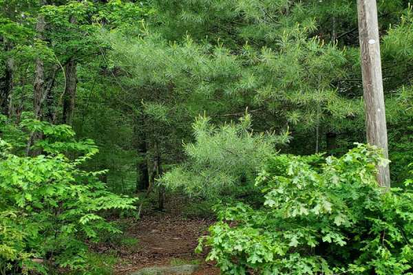
Sully's Way
This track is very overgrown. If you like your paint, don't go down it. It does open up after the beginning, but it's super tight to start with branches all over the sides and top of your rig. The cell service is decent, but the GPS gets a little confused at times. The majority of the track is dirt;...
Learn more about Sully's Way
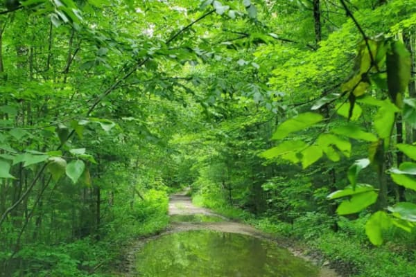
Hampden Road
Level 1, besides one water crossing, which I'd give a 2 for a 4x4, single track wide, mostly rough gravel, overgrown slightly, will cause some scraping on the paint, it's maintained a little bit with clearing trees that fell, starts in Stafford Springs, Connecticut then ends in Hampden Massachusetts...
Learn more about Hampden Road
Beginner ATV trails near Fitchburg, Massachusetts
Explore ATV-friendly trails near you. These trails are accessible for vehicles up to 50 inches wide, perfect for ATVs and smaller off-road machines.
Brimstone Corner Road
This Class 6 road can be accessed from the north on Brimstone Corner Road (paved section), from the southeast on Old Antrim Road (Class 6), or from the southwest on Weston Road (Class 6). This fairly easy route and is a Class 6 winding road through NH's old-growth forest. The trail is a dirt road wi...
Learn more about Brimstone Corner Road
Hersey Road
This is a Class VI road in Danville, New Hampshire. You can access the trail from the east off of State Route 111A, turning onto the Hersey Road paved section. Trail access is to the left at the split (GH Carter Drive goes right), up into the woods. Follow signage for Beehive Hut at the split for th...
Learn more about Hersey Road
Mountain Road
Mountain Road is a New Hampshire Class VI road. Coming from the south, the route stays right, indicated by a Class VI sign, as Swamp Road goes left. Cow Pastures can be seen to the right as you begin your first climb onto Mountain Road. You will come back down to an intersection for Mountain View Sp...
Learn more about Mountain Road
Hanton City Road
Public road that is no longer maintained. Can approach from west off of Decotis Farm Road or from East off of West Reservoir Road. Approaching from Decotis, the road begins at the cul-de-sac. Parts of the road still have remnants of pavement before it was abandoned. The route was dry when mapped and...
Learn more about Hanton City Road
Beginner UTV/side-by-side trails near Fitchburg, Massachusetts
Find UTV and side-by-side trails near you. These trails accommodate vehicles up to 60 inches wide, ideal for UTVs, side-by-sides, and wider off-road rigs.
Brimstone Corner Road
This Class 6 road can be accessed from the north on Brimstone Corner Road (paved section), from the southeast on Old Antrim Road (Class 6), or from the southwest on Weston Road (Class 6). This fairly easy route and is a Class 6 winding road through NH's old-growth forest. The trail is a dirt road wi...
Learn more about Brimstone Corner Road
Hersey Road
This is a Class VI road in Danville, New Hampshire. You can access the trail from the east off of State Route 111A, turning onto the Hersey Road paved section. Trail access is to the left at the split (GH Carter Drive goes right), up into the woods. Follow signage for Beehive Hut at the split for th...
Learn more about Hersey Road
Dummer Road
New Hampshire Class VI road / multi-use trail. This dirt road includes several low areas that show signs of flooding after heavy rain. Use caution near wooden planks covering rusted culverts, as exposed metal may puncture tires. The route is shortened for off-highway vehicles, and signage at the end...
Learn more about Dummer Road
Mountain Road
Mountain Road is a New Hampshire Class VI road. Coming from the south, the route stays right, indicated by a Class VI sign, as Swamp Road goes left. Cow Pastures can be seen to the right as you begin your first climb onto Mountain Road. You will come back down to an intersection for Mountain View Sp...
Learn more about Mountain Road
The onX Offroad Difference
onX Offroad combines trail photos, descriptions, difficulty ratings, width restrictions, seasonality, and more in a user-friendly interface. Available on all devices, with offline access and full compatibility with CarPlay and Android Auto. Discover what you're missing today!
Open Trail Map