
Beginner Off-Road Trails
Near Essex, Missouri
Explore All Beginner Trails Near Essex, Missouri
Beginner Off-Road Trails Near Essex, Missouri
Discover the best beginner-friendly off-road trails near you. These easier, lower-rated trails are a great place to start — browse trail maps, check difficulty ratings, and find your next adventure.
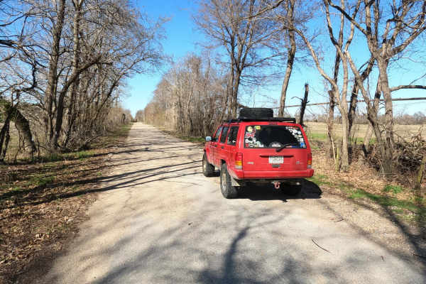
Scott County Road 405
The Scott County Road 405, is a sand flat road in lower Scott County, Missouri, which shows one of the more unique terrains the state has to offer. The road features a few turns and bridges crossing over water-diverting channels of the area. The road is mostly sand with gravel near each end, at time...
Learn more about Scott County Road 405
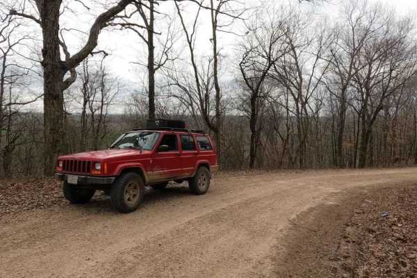
Goose Pond Hills Road
Goose Pond Hills Road is a gravel back road that leads through the Goose Pond Hills northwest of Advance Missouri. The road dances on the Bollinger and Stoddard County lines, featuring Bollinger County 652, and Stoddard County 206 and 211. At 37.12510, -89.94084 there is a decent overlook at the tre...
Learn more about Goose Pond Hills Road
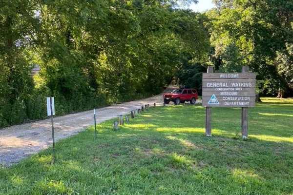
General Watkins Cemetery Road
The General Watkins Cemetery Road is the farthest west entrance into the General Watkins Conservation Area off US Route 61. It is a gravel road that leads up a hillside to the ridge top where General Watkins' resting area is located, as well as a large parking area and the point where the 1.8-mile h...
Learn more about General Watkins Cemetery Road
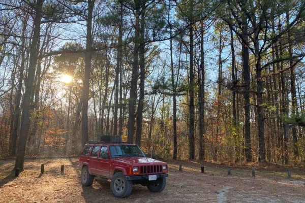
General Watkins Park Road
General Watkins Park Road is a mile-long gravel road leading into the General Watkins Missouri Conservation Area. This road takes you off US-61 straight into some gorgeous wilderness and hiking areas, with a great area to set up camp for a night. The road is light and easy, but traverses a few mild-...
Learn more about General Watkins Park Road
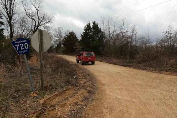
Brush Creek Road
Brush Creek Road, or Bollinger County 720, is a gravel backroad that, runs along Brush, and Slagle Creek through the hilly countryside. The road features several steep hills, sections of the road that show serious wear and potential for flash flooding when conditions are wet. The road has a base of ...
Learn more about Brush Creek Road
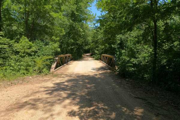
Bo-Co Road 736
Bollinger County 736 is a gravel county road with scenes of the past, leading up into the Castor River Conservation Area. When heading north from Missouri Route E from Gipsy, Missouri, you will shortly cross a bridge over the Lick Log Creek and immediately to the left you will see the old iron suspe...
Learn more about Bo-Co Road 736
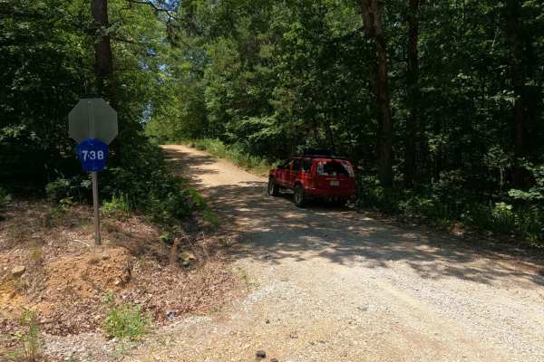
Bo-Co Road 738
Bollinger County Road 738 is a gravel road leading through part of the western side of the Castor River Conservation Area, where you can find several campsites and walking trails to explore. The 738 features the typical Bollinger County coarse creek bottom gravel and has natural rock in spots poppin...
Learn more about Bo-Co Road 738
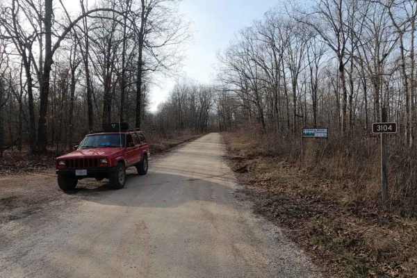
Oak Tower FSR 3104
Oak Tower FSR 3104 is a mild scenic gravel road through the Poplar Bluff sector of Mark Twain National Forest. The main focus of the Oak Tower is the Tower it provides access to, the tower still stands roughly .5 miles into the trail. Sadly it is no longer climbable but remains as a landmark in the ...
Learn more about Oak Tower FSR 3104
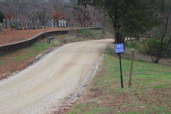
Leopold Road - BCR 402
Leopold Road, or Bollinger County Road 402, is a gravel road traversing the center-east portion of Bollinger County. The southern end of the road begins at small town of Leopold, Missouri, leaving the history rich town on the hill it rests, dropping into the valley of the Crooked Creek, where the tr...
Learn more about Leopold Road - BCR 402
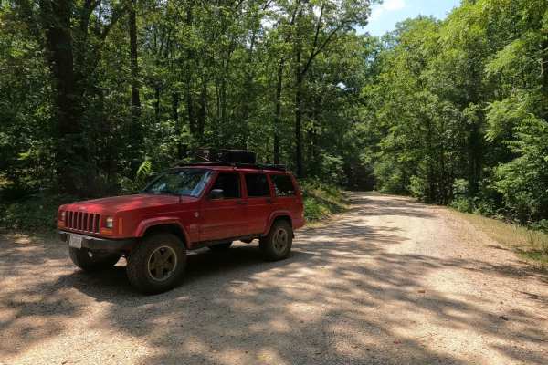
Castor River CA Camp Road
The Castor River Camp Road is a branch off Bollinger County 736, providing access to the center section of the Castor River CA, as well as access to the orange and yellow hiking trails and a lovely dispersed camping site on the hilltop at the end of its track. The road features the common Bollinger ...
Learn more about Castor River CA Camp Road
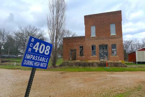
Laflin Road - BCR 408
Laflin Road, or Bollinger County Road 408 (and a very small portion of the BCR 450), is a gravel road traversing the center-east portion of Bollinger County. The southwestern end of the road begins at the small town of Leopold, Missouri, leaving the history-rich town on the hill it rests, heading to...
Learn more about Laflin Road - BCR 408
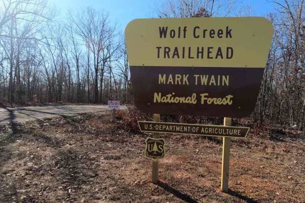
Wolf Creek FSR 3107
Wolf Creek FSR 3107 is a well-maintained scenic gravel forestry road that tracks through the Poplar Bluff sector of Mark Twain National Forest. It features a very scenic route with access to hiking trails throughout. The road is very easygoing, featuring one mild-grade hill with a small low-water br...
Learn more about Wolf Creek FSR 3107
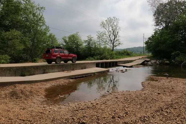
Old Scopus Road
The Old Scopus Road, or Bollinger County 302, is a gravel back road connecting Marble Hill, MO to Scopus, MO, that features hill climbs, low land hollows, washed-out rutted edges, low water bridge creek crossings, and swimming holes. The road is an ideal cruising back road, has great rolling hills, ...
Learn more about Old Scopus Road
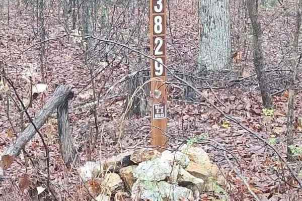
Heather FSR 3829
Forest Service Road 3829, also known as Heather, is a 2.2-mile road that offers many opportunities for camping with its dispersed camping spots and a nice, long road for those evening walks. There is plentiful wildlife along this route, and it is an excellent place to be away. This great out-of-th...
Learn more about Heather FSR 3829
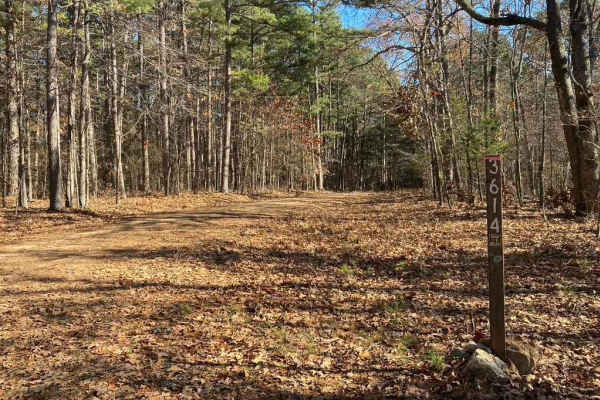
Holmes School FSR 3614
Holmes School FSR 3614 offers a short, scenic retreat through the whispering pines of the Mark Twain National Forest, making it an ideal choice for beginner offroaders, high-clearance vehicles, and SxSs seeking a quiet, natural drive. Starting as a standard gravel road branching off Holmes Chapel FS...
Learn more about Holmes School FSR 3614
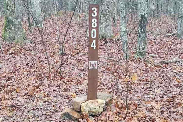
Hammerhead FSR 3804
Forest Service Road 3804, also known as Hammerhead, is a route off of Heather, FSR 3829. This gravel road offers great dispersed camping and plenty of nature. It is a great place to explore and enjoy the quiet drive surrounded by Mark Twain National Forest. The road ends at a clearing where logging ...
Learn more about Hammerhead FSR 3804
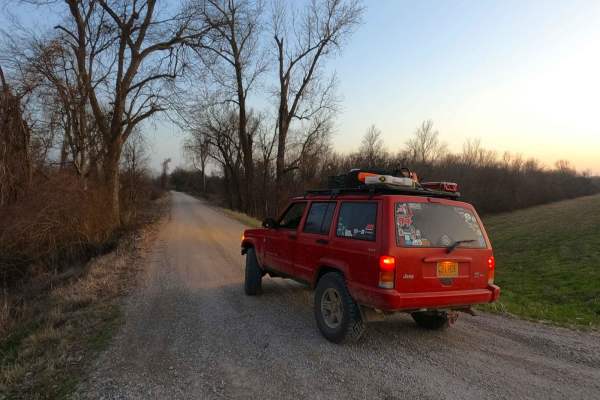
Wolf Bayou Road
Wolf Bayou Road is a gravel access road to the Wolf Bayou section of the greater Black Island Conservation Area, managed by the Missouri Department of Conservation. The Wolf Bayou is a fish lover's and waterfowl hunter's little hidden gem, featuring several water channels to access the rest within t...
Learn more about Wolf Bayou Road
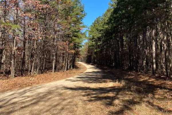
Holmes Chapel FSR 3613
Holmes Chapel is a beautiful scenic route inside Mark Twain National Forest. Want a consistent relaxing drive with whispering pines and wildlife scurrying around? This is your place. The gravel road traverses minimal elevation changes and sees little to no effect of rain, but as gravel will do with ...
Learn more about Holmes Chapel FSR 3613
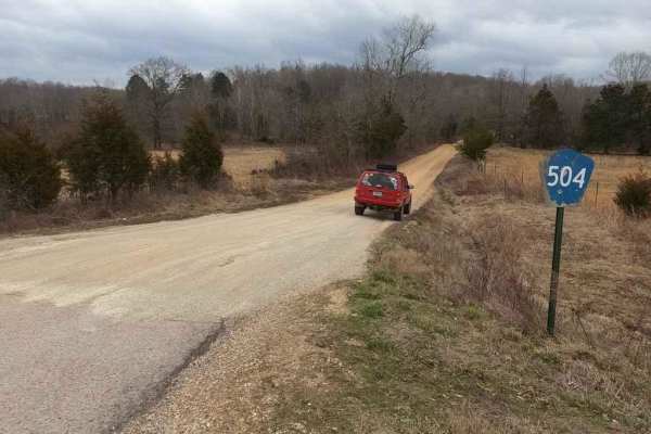
Grassy Tower Loop
Grassy Tower Loop is compromised of 3 county roads off Missouri 34 that lead back to the original Grassy Towersite and Conservation Area of the same name. The Bollinger County roads 504, 506, and 508 compromise the loop to the tower site, though only the 508 is necessary to get there. The roads in t...
Learn more about Grassy Tower Loop
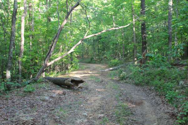
Sheehy Road - FS 3741
Sheehy Road (FS 3741) is a natural gravel and dirt forest service road within the Poplar Bluff Unit of Mark Twain National Forest. Sheehy Road begins heading north where County Road 431/FS 3664 meets its northeast end at private property, First the road crosses a small brook with a splash level of w...
Learn more about Sheehy Road - FS 3741
Beginner ATV trails near Essex, Missouri
Explore ATV-friendly trails near you. These trails are accessible for vehicles up to 50 inches wide, perfect for ATVs and smaller off-road machines.
Sheehy Road - FS 3741
Sheehy Road (FS 3741) is a natural gravel and dirt forest service road within the Poplar Bluff Unit of Mark Twain National Forest. Sheehy Road begins heading north where County Road 431/FS 3664 meets its northeast end at private property, First the road crosses a small brook with a splash level of w...
Learn more about Sheehy Road - FS 3741
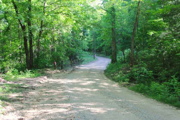
Section 22 - BCR 431 FS 3664
Section 22 (FS 3664) and Butler County Road 431 is a gravel road, made up of Butler County right of way and partly within the Poplar Bluff Unit of Mark Twain National Forest. The gravel road begins heading north off Missouri Route PP, along the Crooked Branch and Cane Creek along its track, placed o...
Learn more about Section 22 - BCR 431 FS 3664
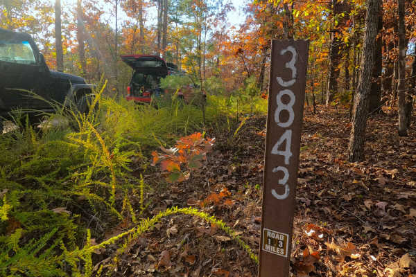
Fox Trot - FS 3843
Fox Trot (FS 3843) is a semi-maintained gravel Forest Service road within the Poplar Bluff Unit of Mark Twain National Forest. Fox Trot takes off from the Wayne County 403 heading west towards the Otter Creek Valley, following the small elevation changes of the lower spines of the ridge, passing by ...
Learn more about Fox Trot - FS 3843
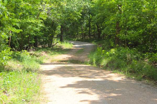
Malady Hollow - FS 3776
Malady Hollow (FS 3776) is a gravel and dirt forest service road within the Poplar Bluff Unit of Mark Twain National Forest. Starting from the eastbound lanes of US-60, the road heads south, climbing a right-of-way hillside along the highway, to level out before dropping down a hill into the valley ...
Learn more about Malady Hollow - FS 3776
Beginner UTV/side-by-side trails near Essex, Missouri
Find UTV and side-by-side trails near you. These trails accommodate vehicles up to 60 inches wide, ideal for UTVs, side-by-sides, and wider off-road rigs.
Bo-Co Road 738
Bollinger County Road 738 is a gravel road leading through part of the western side of the Castor River Conservation Area, where you can find several campsites and walking trails to explore. The 738 features the typical Bollinger County coarse creek bottom gravel and has natural rock in spots poppin...
Learn more about Bo-Co Road 738
Leopold Road - BCR 402
Leopold Road, or Bollinger County Road 402, is a gravel road traversing the center-east portion of Bollinger County. The southern end of the road begins at small town of Leopold, Missouri, leaving the history rich town on the hill it rests, dropping into the valley of the Crooked Creek, where the tr...
Learn more about Leopold Road - BCR 402
Laflin Road - BCR 408
Laflin Road, or Bollinger County Road 408 (and a very small portion of the BCR 450), is a gravel road traversing the center-east portion of Bollinger County. The southwestern end of the road begins at the small town of Leopold, Missouri, leaving the history-rich town on the hill it rests, heading to...
Learn more about Laflin Road - BCR 408
Heather FSR 3829
Forest Service Road 3829, also known as Heather, is a 2.2-mile road that offers many opportunities for camping with its dispersed camping spots and a nice, long road for those evening walks. There is plentiful wildlife along this route, and it is an excellent place to be away. This great out-of-th...
Learn more about Heather FSR 3829
The onX Offroad Difference
onX Offroad combines trail photos, descriptions, difficulty ratings, width restrictions, seasonality, and more in a user-friendly interface. Available on all devices, with offline access and full compatibility with CarPlay and Android Auto. Discover what you're missing today!
Open Trail Map