Trail Overview
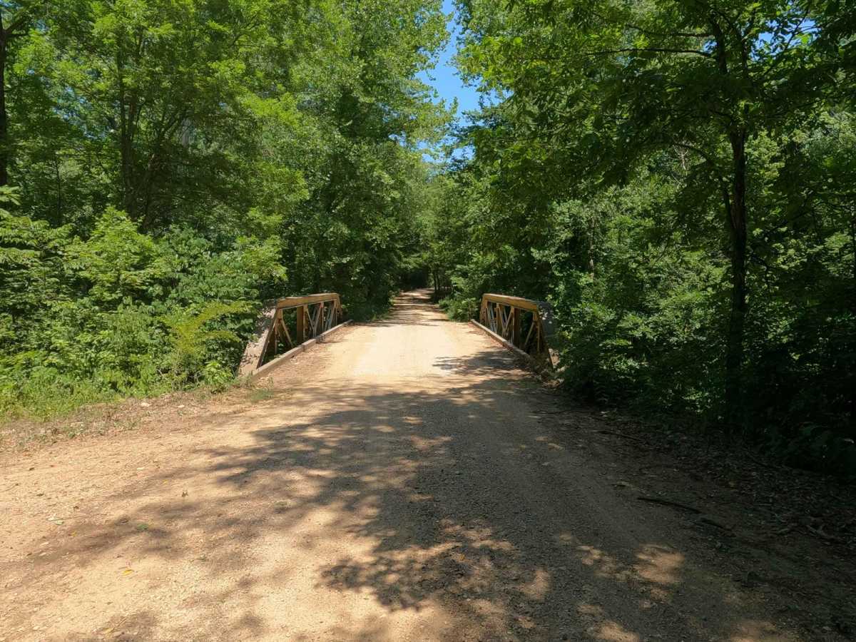
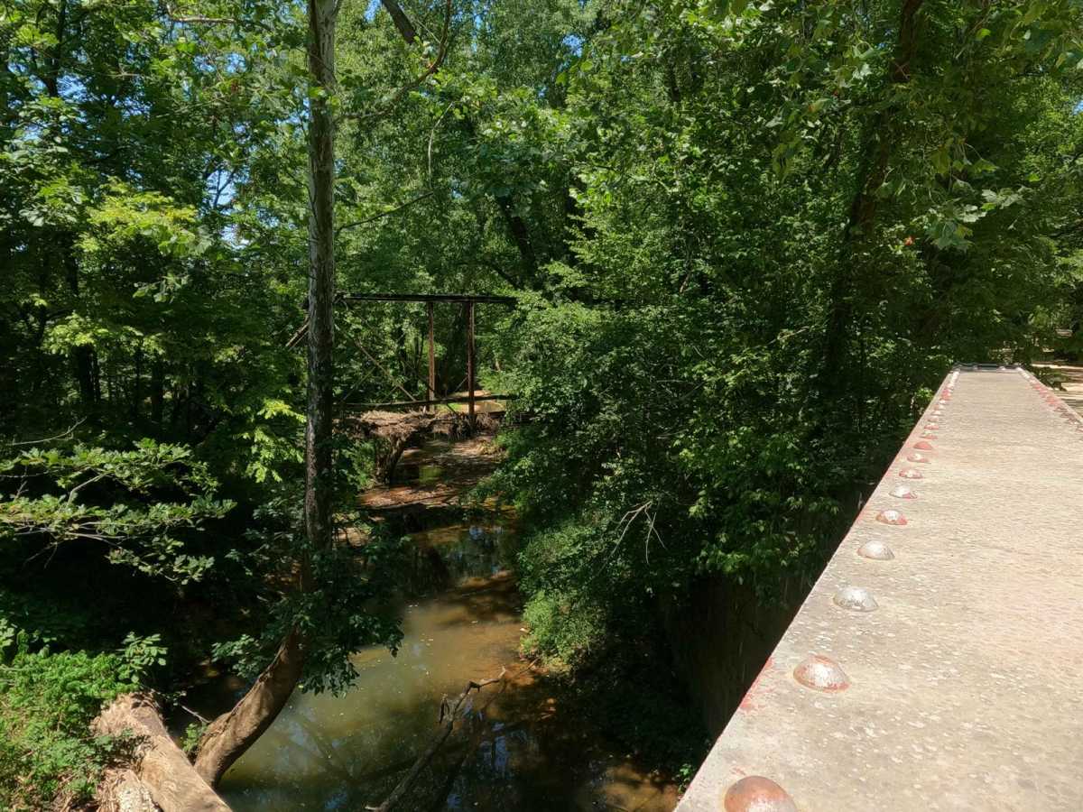
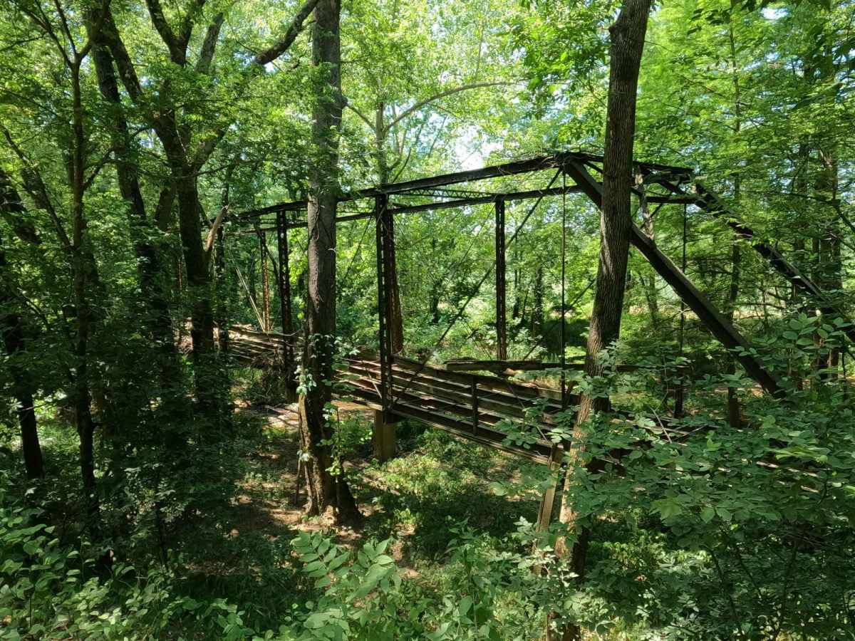
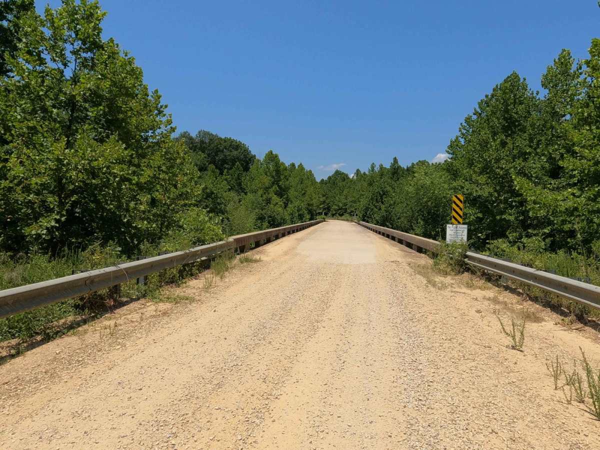
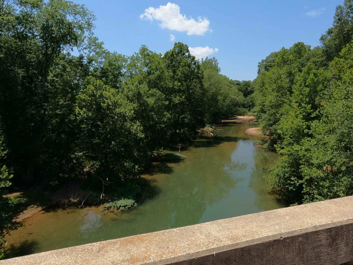
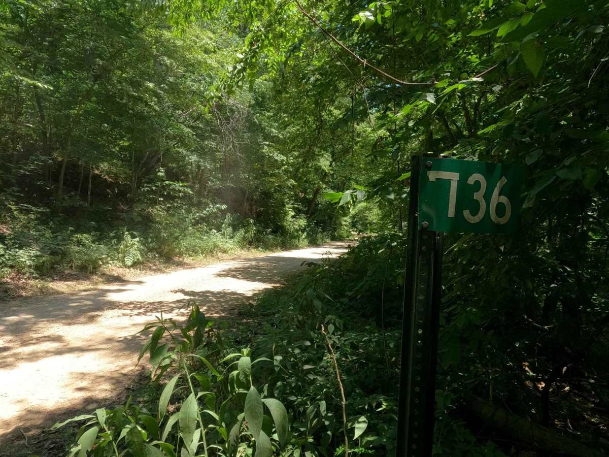
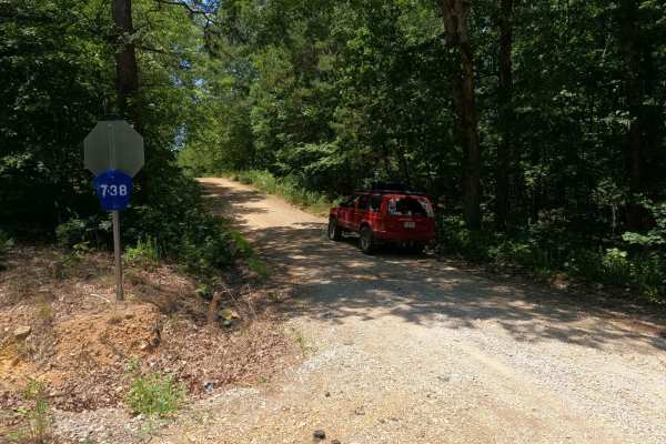
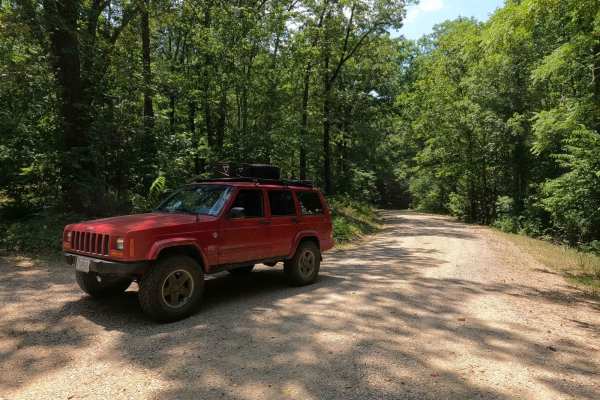
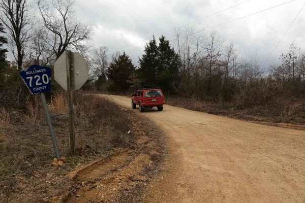
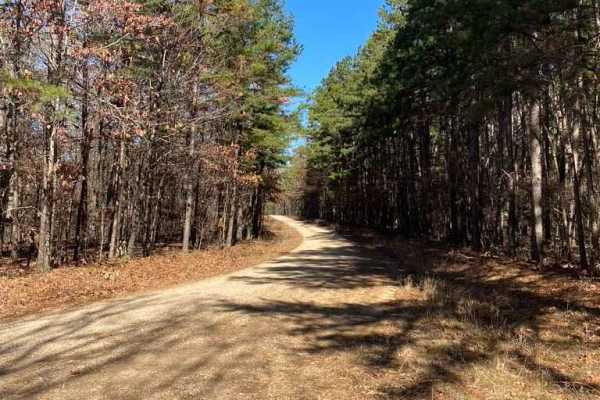
Bollinger County 736 is a gravel county road with scenes of the past, leading up into the Castor River Conservation Area. When heading north from Missouri Route E from Gipsy, Missouri, you will shortly cross a bridge over the Lick Log Creek and immediately to the left you will see the old iron suspension cable bridge it replaced rusting away amongst the trees. The road then crosses the Upper Castor River via a modern concrete bridge, shortly after passing Bo-Co 738 on the left where the 736 veers right. In this section, you will see rock bluffs to your left, showing the diversity of the landscape. Lastly, the road climbs back into the hills where it passes an old church, meets Missouri conservation land, the Castor River Camp Road, and eventually Missouri Route Y where it ends. It's a fun little cruising road with a lot of historic scenery along its track.
Difficulty
The difficulty to 736 is minimal; you will experience the usual gravel road complications of potholes, mounding, and washboards throughout the track. You should also expect small natural rocks sticking out at the road surface in places, as well as the coarse creek gravel that the orange-tinted Bo-Co roads are known for having. The 736 is given a 1/10 for its simplicity, though there is one hill midway that appears to wash out over the course of time. If it was left unmaintained, it could push this road up in difficulty, especially in heavy rain or wet conditions.
History
The Blue Pond is an interesting piece of Missouri History, showing the distance that the 1811-1812 New Madrid Earthquake effected 70 miles NW of the epicenter. Blue Pond is the deepest natural pond in Missouri at more than 65 feet deep. It's believed to have been formed from a cavern collapse during the New Madrid earthquake in 1811. Sourced from https://mdc.mo.gov/discover-nature/places/castor-river-conservation-area