Trail Overview
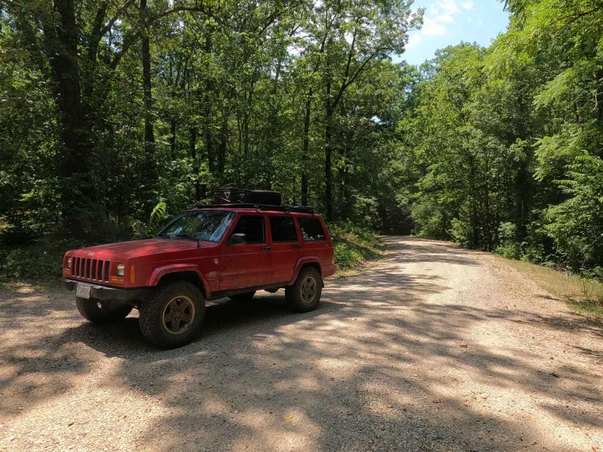
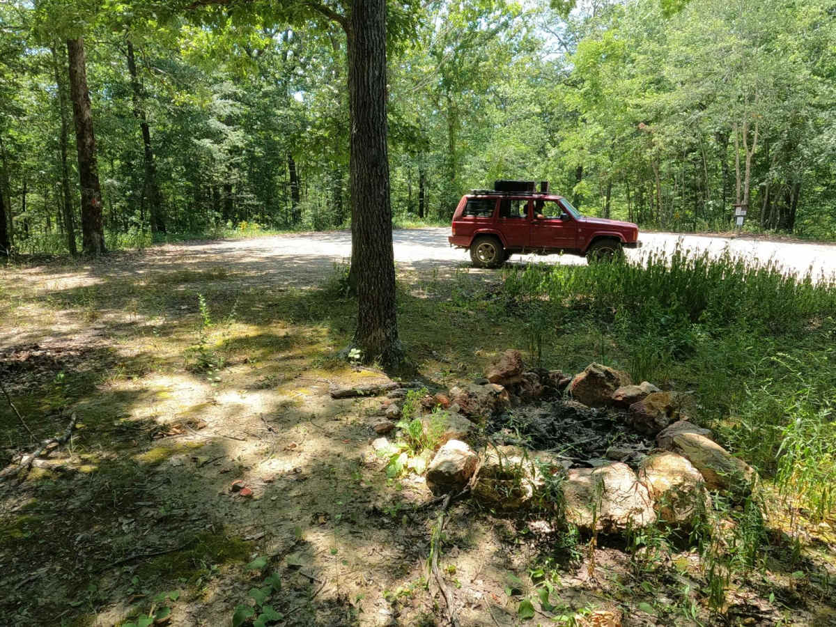
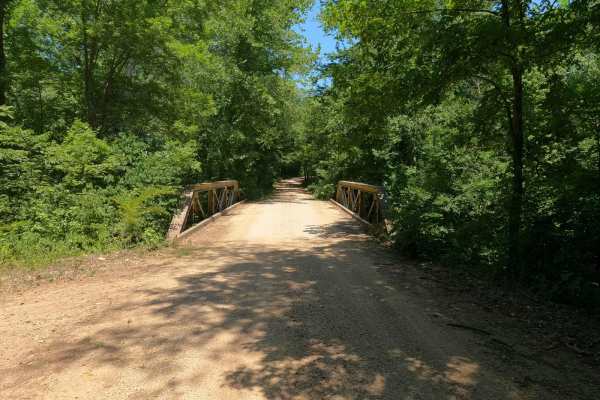
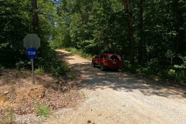
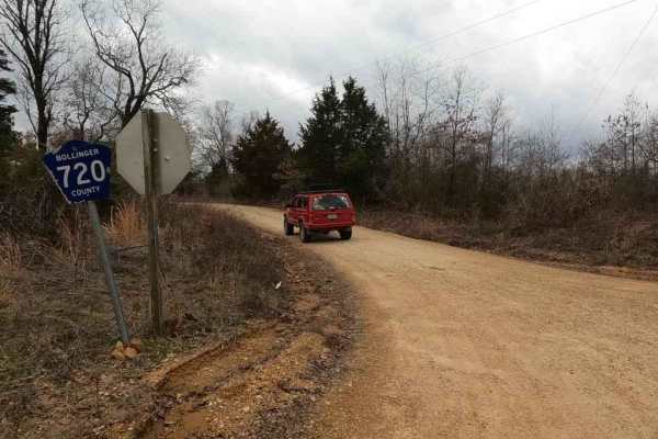
The Castor River Camp Road is a branch off Bollinger County 736, providing access to the center section of the Castor River CA, as well as access to the orange and yellow hiking trails and a lovely dispersed camping site on the hilltop at the end of its track. The road features the common Bollinger County coarse river/creek gravel and features a few moderate hills and mild creek crossings. It's a great place to go to be alone and have a nice little camp surrounded by woods. Keep in mind that this spot is probably well-used in hunting season.
Difficulty
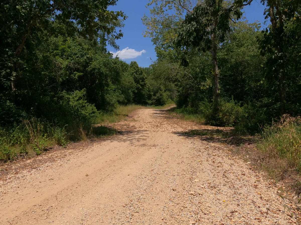
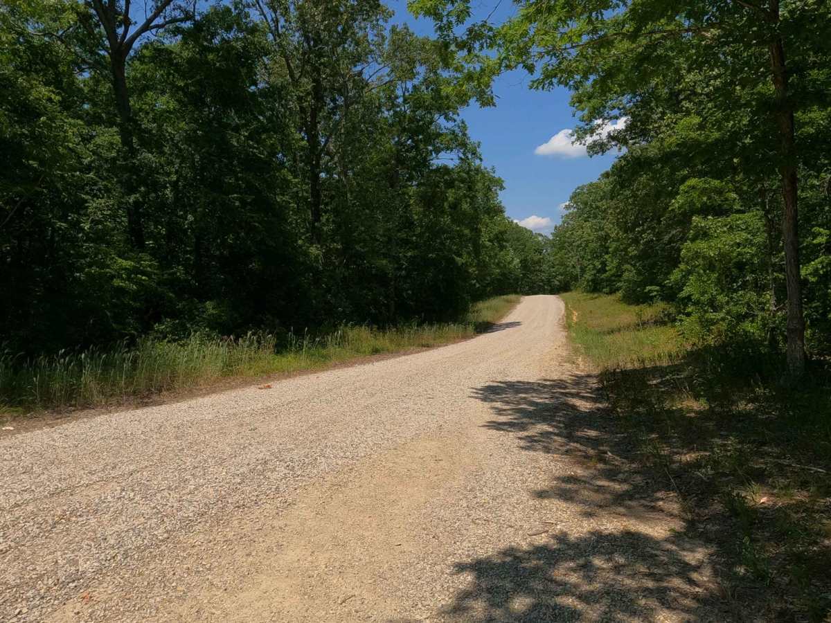
The Castor River Camp Road is minimal in difficulty minus a few mild grades and a few water channelizing feeder creeks that during rainy conditions could form shallow water crossings. Be leery of flash flooding in the area, as this could result in deep crossings up to two feet. This trail is given a base rating of 2/10, due to the obvious signs of shallow water being present often in the bottoms. During dry summer months, this probably rides like a 1/10. As said above, difficulty can increase with heavy rain and wet seasons.
History
The Blue Pond is an interesting piece of Missouri History, showing the distance that the 1811-1812 New Madrid Earthquake effected 70 miles NW of the epicenter. Blue Pond is the deepest natural pond in Missouri at more than 65 feet deep. It's believed to have been formed from a cavern collapse during the New Madrid earthquake in 1811. Sourced from https://mdc.mo.gov/discover-nature/places/castor-river-conservation-area