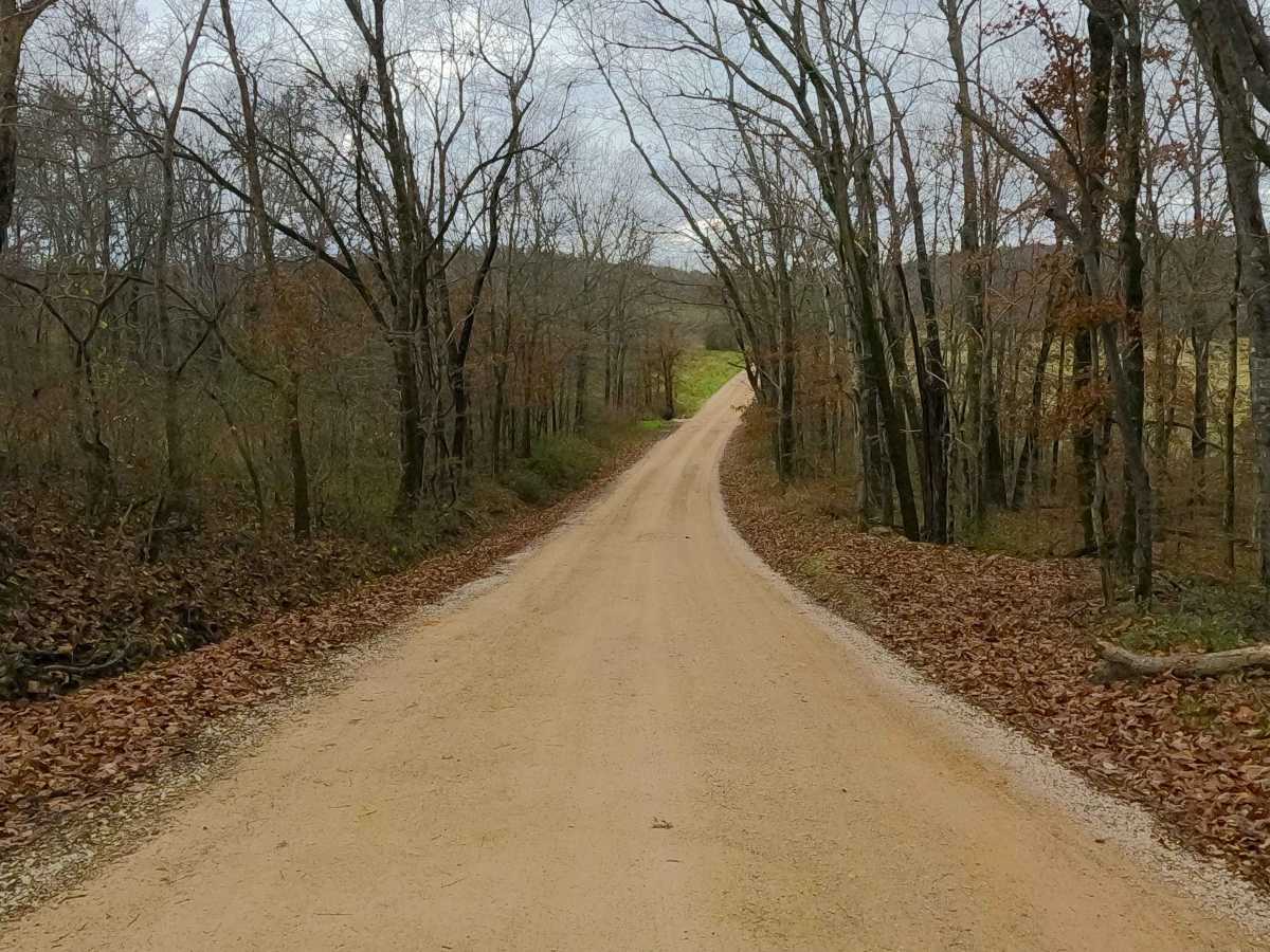
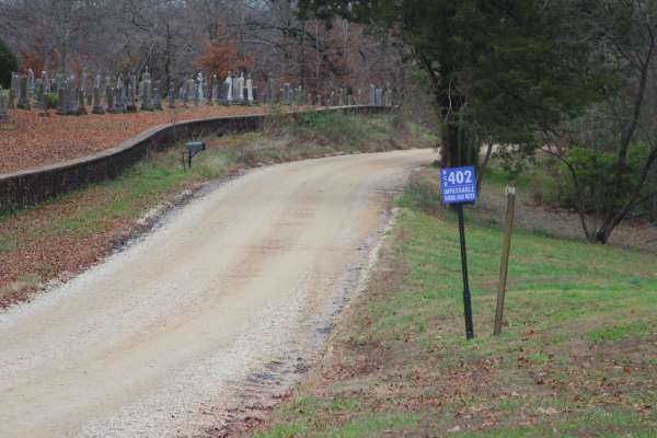
Trail Overview
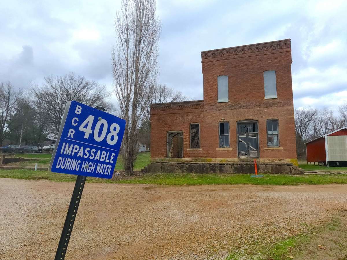
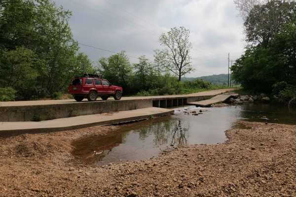
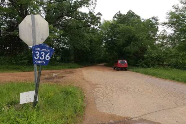
Laflin Road, or Bollinger County Road 408 (and a very small portion of the BCR 450), is a gravel road traversing the center-east portion of Bollinger County. The southwestern end of the road begins at the small town of Leopold, Missouri, leaving the history-rich town on the hill it rests, heading to the east, dropping into the valley, crossing a feeder branch creek, eventually leading to the Crooked Creek. The track eventually crosses over the Crooked Creek in the bottoms, surrounded by fertile open crop fields, as it finishes at the former Belmont Line / Missouri Pacific Railroad train bed, where the settlement of Laflin, the former rail-based operations, and an old brick store building are found. The old brick store structure is on private property; please admire it from the roadside. A fun little track if you want to leave the pavement and see small-town Missouri along the way.
Difficulty
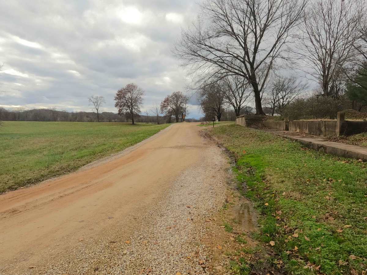
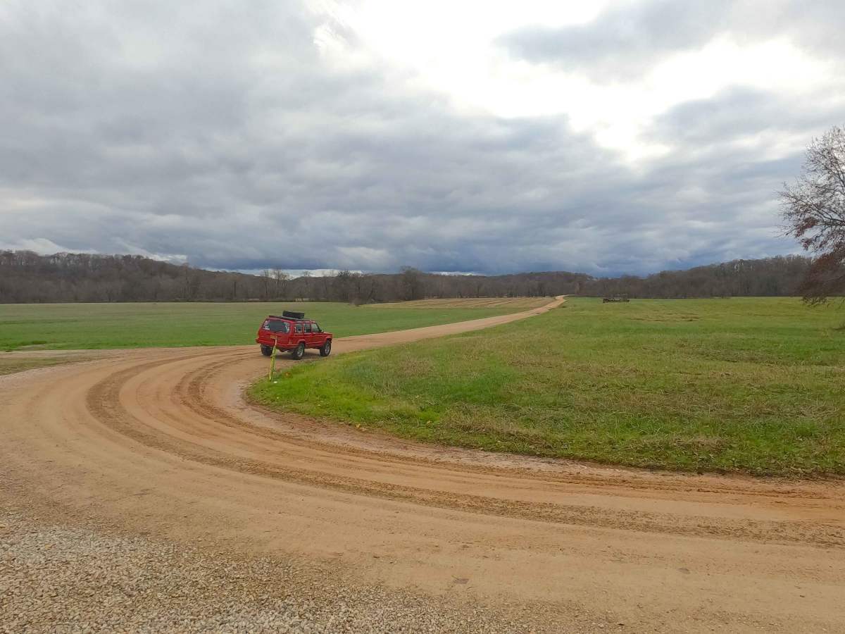
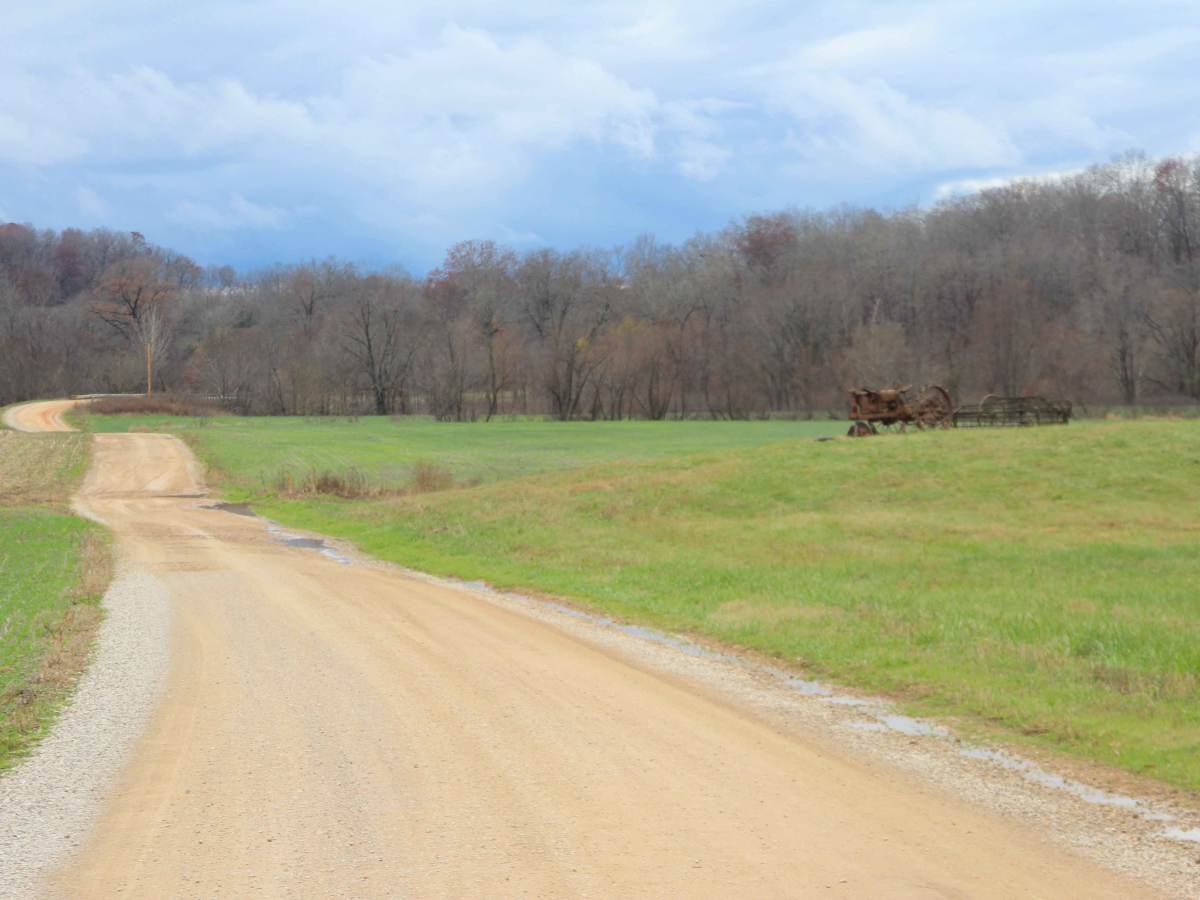
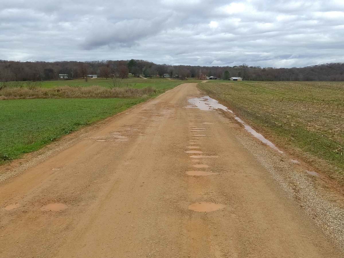
Base Rating for this road is 2/10, with the road made of red dirt and coarse creek gravel, and featuring one low-water bridge with a high potential for a splash (6 inches deep) of water. The difficulty of the area is constantly changing based on two things: how dry/wet it is and how neglected the road is. This is a great example of a road that can swing from 1/10 stable, dry, freshly maintained, and easy to ride, versus being in a wet or beaten state, leaning into a 3/10 rating, with upwards of 12-18 inches of water to cross at the low water bridge. The biggest concern would be flash flooding in the event of heavy rains or a constant, very wet season, resulting in a high potential of water flooding in the valley lowland, collection spots along the road, and especially at the low water bridge, also potentially causing washed loose gravel, with small ruts on the hills. It is safe to expect washboarding, potholes, and mounding of the gravel.
History
The community of Laflin was named after Sylvester M. Laflin, who was then a director of the Belmont Branch of the St. Louis and Iron Mountain Railroad. This railroad was vital to the community, providing logging-based jobs by providing timber to be transported via the Belmont Branch. Between 1871–1954, the community also had a post office. The Belmont Branch started at Bismarck, Missouri, eventually entering Bollinger County, passing through Bessville, Glenallen, Lutesville, and Laflin. It continued on a southeasterly route until it met the Mississippi River at Belmont Landing, Missouri. In 1917, the St Louis, Iron Mountain, and Southern Company was merged into the Missouri Pacific Railroad. Around 1972-1973, the northern segment of the line was abandoned, likely including the segment in Laflin, and the southern segments followed suit by the time 1984 came around. Documented By Christopher Menz 12/2025.