Trail Overview
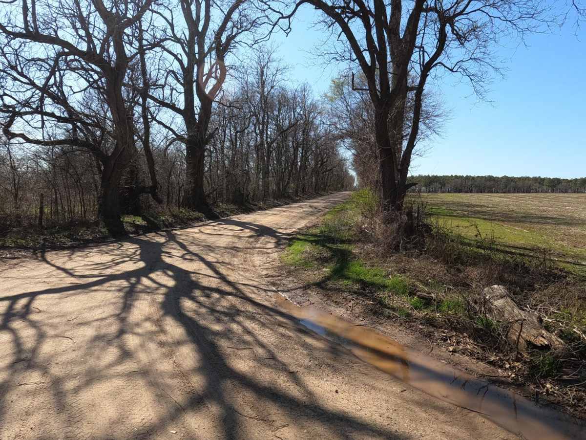
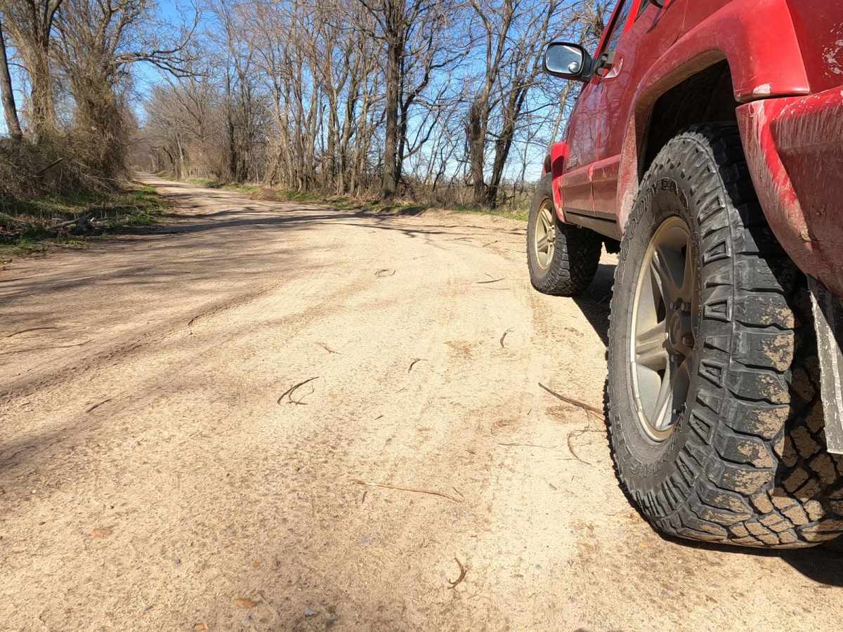
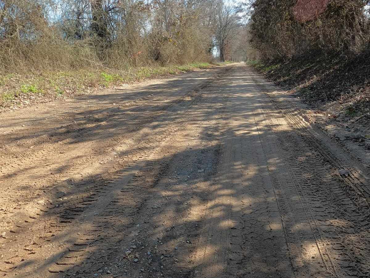
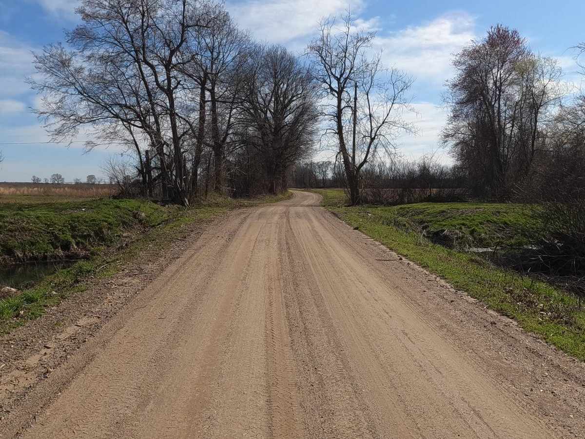
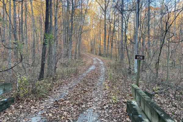
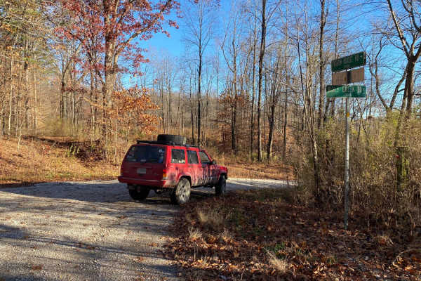
The Scott County Road 405, is a sand flat road in lower Scott County, Missouri, which shows one of the more unique terrains the state has to offer. The road features a few turns and bridges crossing over water-diverting channels of the area. The road is mostly sand with gravel near each end, at times the gravel randomly fades in and out to the naturally sandy soil of the area, the difficulty is simple and easy featuring cotton field views of the upper section of the Missouri bootheel.
Difficulty
The road is very simple, at worst features wet spots and mild water collection that can lead to sandy ruts and soft spots. The typical washboarding, mounding, and potholes exist in the gravel sections near the ends where it meets the main roads. Be careful crossing main roads in the middle section of the 405.
History
The history of roads in the area really developed after the late 1800s into early 1900s when the Little River Drainage Ditch's levies and drainage ditches were constructed and the old swamp that existed in the bootheel was drained for future use and development. Here is a few small videos on some of the history https://www.youtube.com/watch?v=sImrKStlSPI https://www.youtube.com/watch?v=IwAlsHk8NpQ