
Beginner Off-Road Trails
Near East Cape Girardeau, Illinois
Explore All Beginner Trails Near East Cape Girardeau, Illinois
Beginner Off-Road Trails Near East Cape Girardeau, Illinois
Discover the best beginner-friendly off-road trails near you. These easier, lower-rated trails are a great place to start — browse trail maps, check difficulty ratings, and find your next adventure.
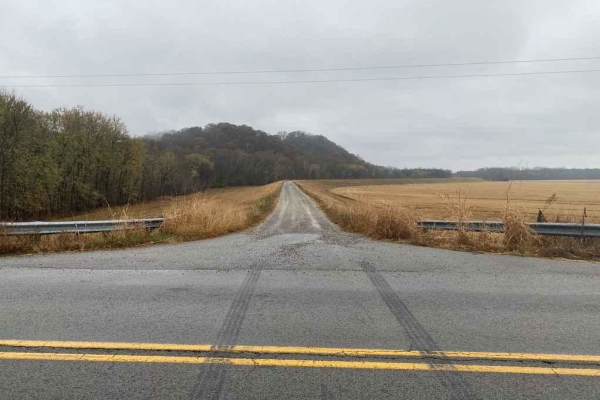
Clear Creek Levee Road
The Clear Creek Levee Road parallels IL Route 3 North and South connecting the dots with a lot of routes that lead to Shawnee National Forest and other trails. It's a simple gravel road with the occasional pothole or dirt section but is worth adding to your drive if you want to avoid main roads or t...
Learn more about Clear Creek Levee Road
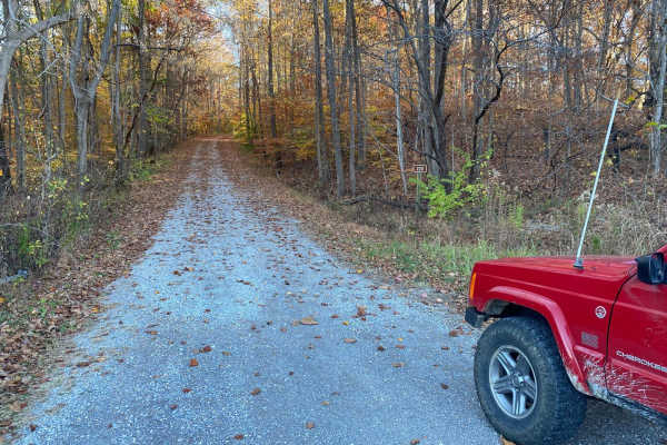
McCraven SFR 220
McCraven SFR 220 is a very scenic nature-viewing gravel road in Shawnee National Forest. It is a very easy trail with a minimal challenge, but there are a few muddy crossings and water collection spots within its medium-grade graveled hills. It also features a couple of branch trails, the SFR 504 an...
Learn more about McCraven SFR 220
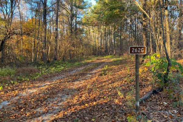
Slick Ridge FSR 262G
The Slick Ridge FSR 262G is a mildly challenging natural fire road that has the reward of a great view of Shawnee National Forest. It features an off-camber eroded section that will test your articulation and clearances. It runs you through several small mud holes and a small grade with tree roots. ...
Learn more about Slick Ridge FSR 262G
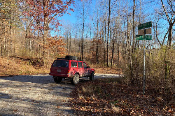
Wolf Creek Road
Wolf Creek Road is a gravel road running through a section of the Shawnee National Forest. It clocks in at 3.8 miles, leading slowly downhill from the hills of the Mississippi Bluffs into the low-laying land of central southern IL. It has 2 concrete-bottomed low-water bridges that may turn into shal...
Learn more about Wolf Creek Road
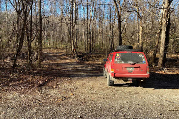
Old Goat SFR 625 & 625A
Old Goat SFR 625 and 625A is a State Forest Road in Shawnee National Forest. The road is short at only 1.1 miles long, but packs a punch, dipping through a creek bottom shortly after climbing a steep grade while circling around the first main hill. The hill features small ruts and gravel fading to d...
Learn more about Old Goat SFR 625 & 625A
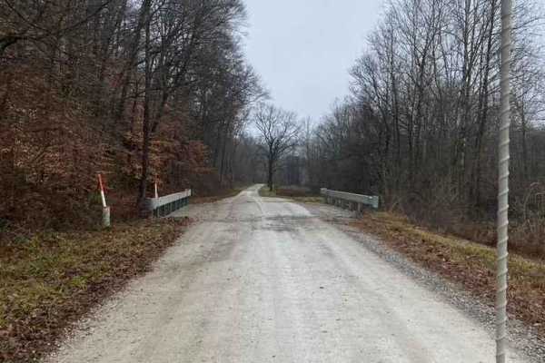
Delta Road/Moad Hollow Road
Delta Road and Moad Hollow Road are the precursors to the Opossum Trot Trail System within Shawnee National Forest. This gravel road features an easy cruise leading you through the Illinois countryside showing off its lowland valley beauty. You'll eventually be going into the rolling hills of Shawne...
Learn more about Delta Road/Moad Hollow Road
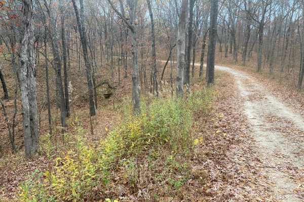
Opossum Trot Road SFR 628
Opossum Trot Road SFR 628 is an easy, scenic 2.9-mile gravel route through the Shawnee National Forest, making it perfect for beginners, scenic drivers, and those looking for a relaxing escape into nature. Winding through dense hardwood forests in southern Illinois, this well-maintained forest servi...
Learn more about Opossum Trot Road SFR 628
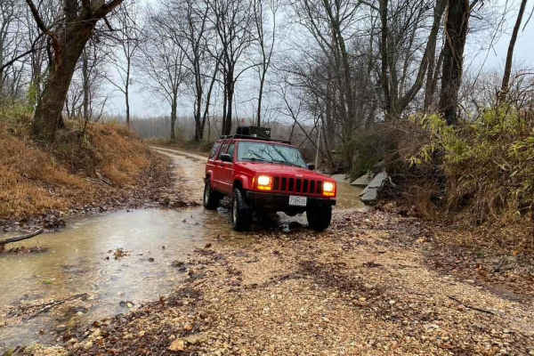
South Silica Hill Road
South Silica Hill Road is a scenic 1-mile gravel route located within the Shawnee National Forest, offering a short but engaging drive for high-clearance four-wheel-drive vehicles and SxSs. Branching south off the Silica Hill trail system near SFR 645, the trail begins with a mild-grade hill climbin...
Learn more about South Silica Hill Road
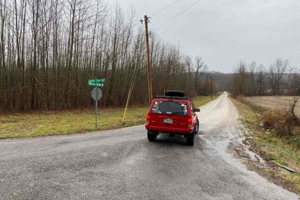
Whitney Hollow Road
Whitney Hollow Road is an easy 2.7-mile gravel route through the Shawnee National Forest, perfect for stock four-wheel-drive vehicles, SxSs, and overland rigs seeking a scenic dirt alternative to regional pavement. Connecting the Silica Hill section to the Opossum Trot section of the forest, the tra...
Learn more about Whitney Hollow Road
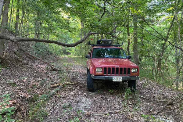
Burner Hill FSR 620
Burner Hill FSR 620 is an old gravel forestry road in the southern area of the Mississippi Bluffs sector of Shawnee National Forest. The road seems near-forgotten, and shows little signs of use or maintenance. Fallen trees add to the fun and challenge of weaving your way to the top of the road. The ...
Learn more about Burner Hill FSR 620
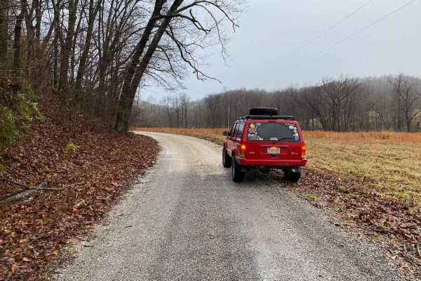
East Delta Road
East Detla Road, is the eastern section of the road going through Shawnee National Forest connecting the Opossum Trot Trail System to Elco, IL. The road is a steady uphill climb when headed west, gaining 275 feet over it's trek. The gravel road is mild and only shows slight rutting, washing, and mou...
Learn more about East Delta Road
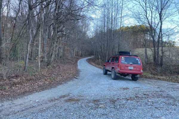
Silica Hill Road SFR 645
The West Silica Hill Road SFR 645 is a 1.3-mile-long forestry road through Shawnee National Forest. As you travel the road, grades come in waves from gradual incline to steep grades. These steep grades include tight turns, medium-sized ruts, bare dirt sections, and some mild water collection spots. ...
Learn more about Silica Hill Road SFR 645
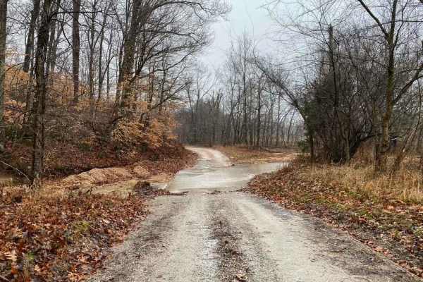
Wilderness Retreat Road
Wilderness Retreat Road is a scenic 2.5-mile gravel connector trail in the Shawnee National Forest, perfect for beginners and seasoned drivers looking to stay off the pavement between more challenging routes. This easy-going dirt and gravel route features a mild 193-foot elevation gain as it winds t...
Learn more about Wilderness Retreat Road
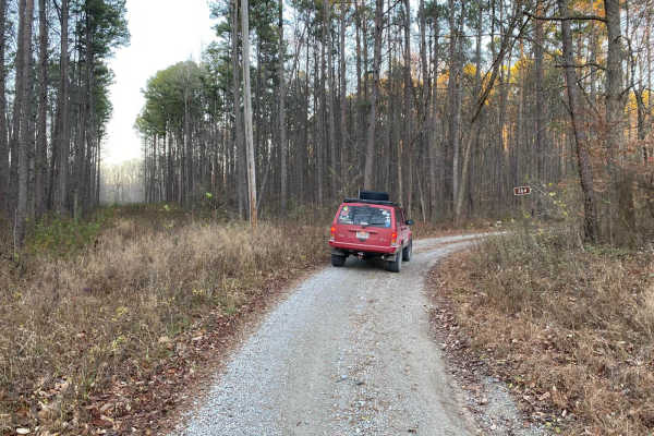
Grabber SFR 264
Grabber SFR 264 is a 1.7-mile-long forestry road through Shawnee National Forest. It traverses some of the steepest graveled hills in the SW corner of the forest, climbing a total of 406 feet from its entry point to its highest point. It has mild rutting on nearly all inclines, some being medium in ...
Learn more about Grabber SFR 264
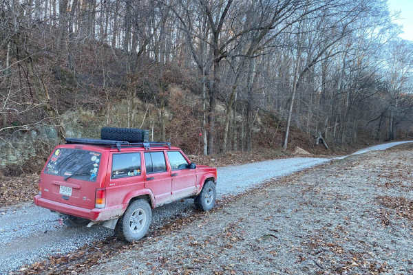
Lingle Creek Road
Lingle Creek Road is an ideal, beginner-friendly gravel route for four-wheel-drive vehicles, SxSs, and dual-sport motorcycles looking to explore the scenic rolling hills of southern Illinois. Spanning approximately 2.8 miles with a mild elevation gain of 91 feet, the road closely parallels Lingle Cr...
Learn more about Lingle Creek Road
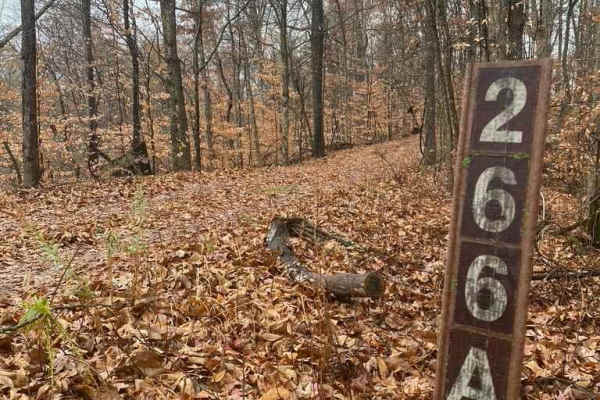
N Hamburg Hill Spur
The N Hamburg Hill Spur 266AA, within Shawnee National Forest, is a trail that once was traversable by full-width vehicles, but in its current state should only be trekked by dirt bikes and 4-wheelers, within the first .1 mile there is a turnaround/parking area to unload, but from there on, the trai...
Learn more about N Hamburg Hill Spur
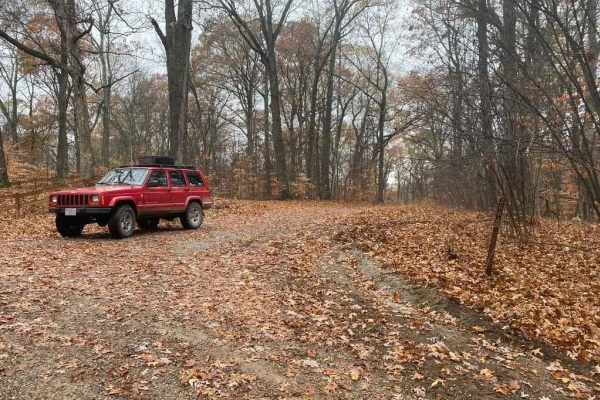
Hamburg SFR 266A
As a branch of Atwood Road 266, the Hamburg 266A is a bit more of an offroading road and less of a scenic road within Shawnee National Forest. It has an off-camber hill within .2 of the entrance followed by many water collection areas that get muddy, the gravel fades in on the hilltops and out in th...
Learn more about Hamburg SFR 266A
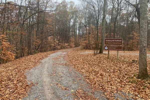
Atwood Road SFR 266
Atwood Road SFR 266 is a Shawnee National Forest state forest road that travels to the old Atwood lookout tower site. The hill's grade is one of the steepest and tallest in the area right at a 500-foot elevation climb within 1.5 miles. The road features sections of well-maintained gravel along with ...
Learn more about Atwood Road SFR 266
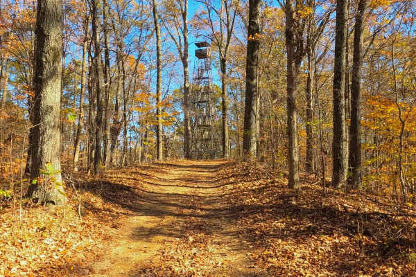
South Forest Road
South Forest Road is the gravel-based southern forest loop within the Illinois Trail of Tears State Forest. It features a one-way track from the western entry to the east exit on the paved State Forest Road. The area features a yearly closure from December 24th to the end of the wild Turkey Season (...
Learn more about South Forest Road

North Forest Road
North Forest Road is the gravel-based southern forest loop within the Illinois Trail of Tears State Forest. It features a one-way track from the eastern entry to the west exit on the paved State Forest Road. The area features a yearly closure from December 24th to the end of the wild Turkey Season (...
Learn more about North Forest Road
Beginner ATV trails near East Cape Girardeau, Illinois
Explore ATV-friendly trails near you. These trails are accessible for vehicles up to 50 inches wide, perfect for ATVs and smaller off-road machines.
McCraven SFR 220
McCraven SFR 220 is a very scenic nature-viewing gravel road in Shawnee National Forest. It is a very easy trail with a minimal challenge, but there are a few muddy crossings and water collection spots within its medium-grade graveled hills. It also features a couple of branch trails, the SFR 504 an...
Learn more about McCraven SFR 220
Slick Ridge FSR 262G
The Slick Ridge FSR 262G is a mildly challenging natural fire road that has the reward of a great view of Shawnee National Forest. It features an off-camber eroded section that will test your articulation and clearances. It runs you through several small mud holes and a small grade with tree roots. ...
Learn more about Slick Ridge FSR 262G
N Hamburg Hill Spur
The N Hamburg Hill Spur 266AA, within Shawnee National Forest, is a trail that once was traversable by full-width vehicles, but in its current state should only be trekked by dirt bikes and 4-wheelers, within the first .1 mile there is a turnaround/parking area to unload, but from there on, the trai...
Learn more about N Hamburg Hill Spur
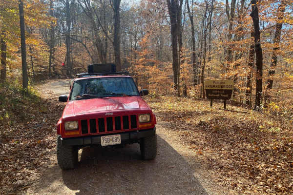
Natural Bridge Road
This is a maintained gravel road with an occasional flat natural rock sticking up in the middle of the road. This trail features beautiful tall pines and areas you can see for miles. The road leads up a steep grade that may include washboards and mild washes when the season is wet and conditions are...
Learn more about Natural Bridge Road
Beginner UTV/side-by-side trails near East Cape Girardeau, Illinois
Find UTV and side-by-side trails near you. These trails accommodate vehicles up to 60 inches wide, ideal for UTVs, side-by-sides, and wider off-road rigs.
Clear Creek Levee Road
The Clear Creek Levee Road parallels IL Route 3 North and South connecting the dots with a lot of routes that lead to Shawnee National Forest and other trails. It's a simple gravel road with the occasional pothole or dirt section but is worth adding to your drive if you want to avoid main roads or t...
Learn more about Clear Creek Levee Road
McCraven SFR 220
McCraven SFR 220 is a very scenic nature-viewing gravel road in Shawnee National Forest. It is a very easy trail with a minimal challenge, but there are a few muddy crossings and water collection spots within its medium-grade graveled hills. It also features a couple of branch trails, the SFR 504 an...
Learn more about McCraven SFR 220
Slick Ridge FSR 262G
The Slick Ridge FSR 262G is a mildly challenging natural fire road that has the reward of a great view of Shawnee National Forest. It features an off-camber eroded section that will test your articulation and clearances. It runs you through several small mud holes and a small grade with tree roots. ...
Learn more about Slick Ridge FSR 262G
Opossum Trot Road SFR 628
Opossum Trot Road SFR 628 is an easy, scenic 2.9-mile gravel route through the Shawnee National Forest, making it perfect for beginners, scenic drivers, and those looking for a relaxing escape into nature. Winding through dense hardwood forests in southern Illinois, this well-maintained forest servi...
Learn more about Opossum Trot Road SFR 628
The onX Offroad Difference
onX Offroad combines trail photos, descriptions, difficulty ratings, width restrictions, seasonality, and more in a user-friendly interface. Available on all devices, with offline access and full compatibility with CarPlay and Android Auto. Discover what you're missing today!
Open Trail Map