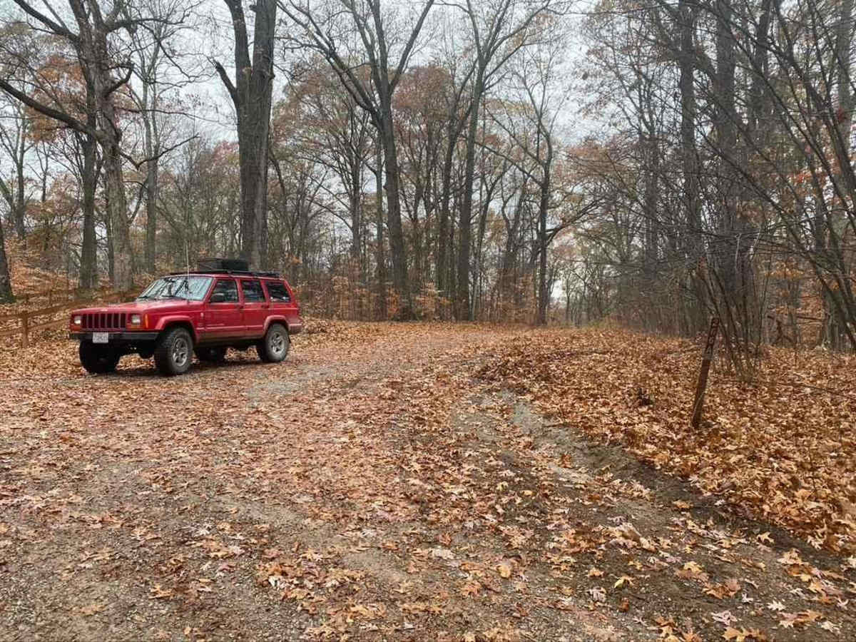
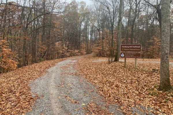
Trail Overview
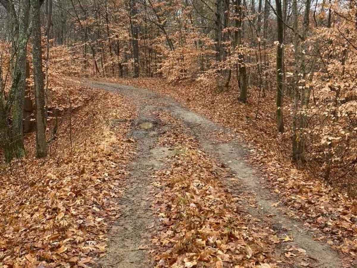
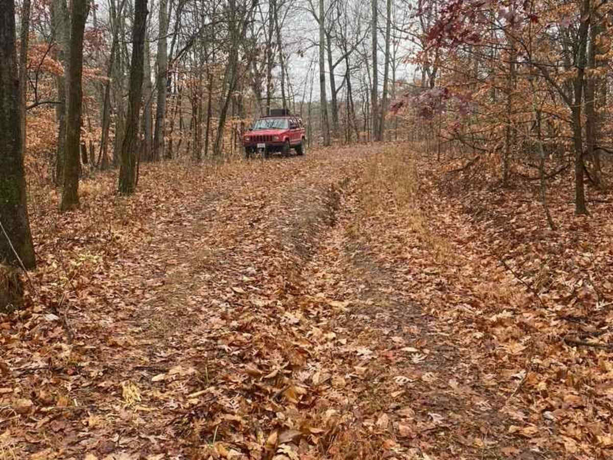
As a branch of Atwood Road 266, the Hamburg 266A is a bit more of an offroading road and less of a scenic road within Shawnee National Forest. It has an off-camber hill within .2 of the entrance followed by many water collection areas that get muddy, the gravel fades in on the hilltops and out in the valleys, which creates some dirt sections, adding grit to the situation, as you trek deeper inside the trail goes full-on natural and less maintained, to the point there are deep ruts accompanied by steep grades and tightening trees. Wet conditions and rainy seasons add to the difficulty of this trail, fallen leaves also add a dynamic to the traction on this road. The road is split pretty even 50/50 Gravel to Dirt as the primary surface.
Difficulty
A fun trail to ride before or after hitting the 266, makes the trail system full circle and adds depth to the ride. It's slick when wet, these conditions and rainy seasons add to the difficulty of this trail, leaves also add a dynamic to the traction on this road, holding moisture and water in place, and creating low friction layers between tire and dirt.
History
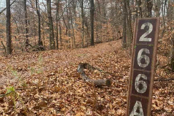
The Hamburg 266A is along the pathway of the Trail of Tears, plaques are present at the trailhead featuring some information about this history.