
Beginner Off-Road Trails
Near Duanesburg, New York
Explore All Beginner Trails Near Duanesburg, New York
Beginner Off-Road Trails Near Duanesburg, New York
Discover the best beginner-friendly off-road trails near you. These easier, lower-rated trails are a great place to start — browse trail maps, check difficulty ratings, and find your next adventure.
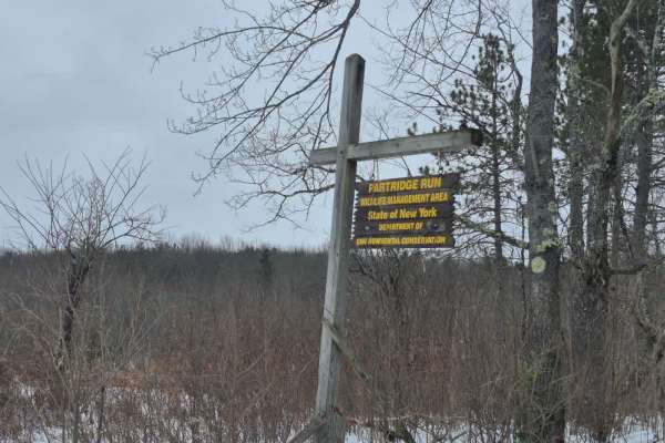
Partridge Run
The trail consists of a broad gravel base that is regularly maintained by the state. Be aware that active logging occurs at all times of the year in this area so always keep an eye for trucks and other equipment. Along this route you will find many hiking trails and multiple opportunities to park an...
Learn more about Partridge Run
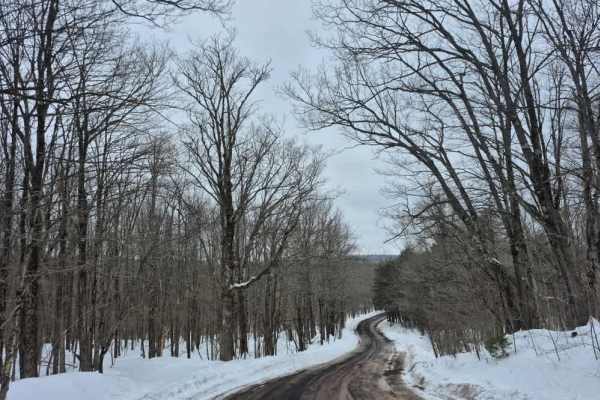
Peasley Road
The trail consists of a broad gravel base that is regularly maintained. Drivers can expect a stable surface with minimal challenges. Logging operations are common in this area, so the road may be freshly plowed or graded to accommodate the logging trucks and heavy equipment. At the western end of th...
Learn more about Peasley Road
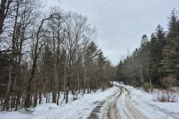
Cook Hill Road
The trail consists of a broad gravel base that is regularly maintained by the state. Like other trails in this area, there is active logging occurring at all times of the year, so always keep an eye out for trucks and other equipment. Several stone foundation ruins can be found along this route, inc...
Learn more about Cook Hill Road
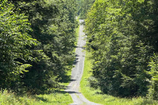
Morey Road
This easily navigable road has numerous wide sections that allow for pulling over to pass oncoming traffic. Along the route, you'll find access to several hiking trailheads and a designated parking area. Notably, an old cemetery is located near the beginning of the road, adding a touch of local hist...
Learn more about Morey Road
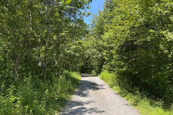
Burnt Hill Road
This is a loose gravel road with no technical obstacles, making it easily drivable under most conditions. A few moderate-sized puddles may form after rainfall, often muddy but generally manageable. There are ample pull-off areas throughout, and some sections are wide enough to accommodate two vehicl...
Learn more about Burnt Hill Road
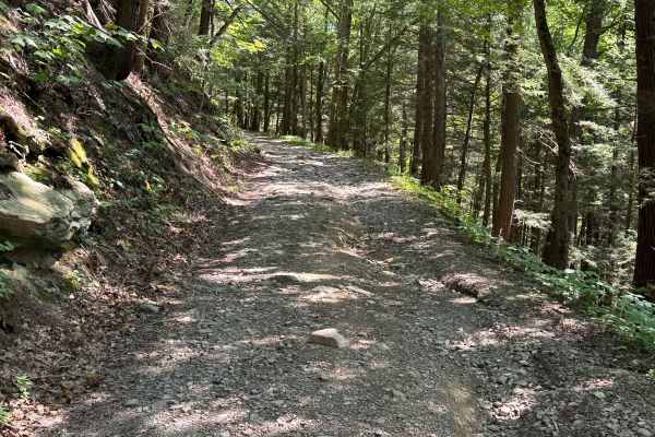
Dave Brown Mountain Road
This scenic trail winds its way through dense forest, offering a mix of shaded stretches and open clearings. It begins as a gravel path before shifting into a blend of loose dirt and scattered rock. Along the way, you’ll encounter a few naturally eroded sections where past rainfall has carved shallo...
Learn more about Dave Brown Mountain Road
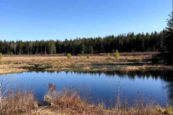
Burnt- Rossman Hill Road
This trail goes through Burnt-Rossman State Forest. It is a mostly maintained dirt road with occasional mud holes or deep ruts in sections. Deep water can accumulate in the ruts in the spring. There is a great primitive camping area Arthur Hopkins campsite on a small pond just off the road.
Learn more about Burnt- Rossman Hill Road
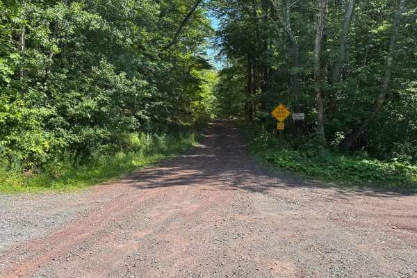
Bluebird Road
This is an unmaintained road primarily made up of loose stone and dirt. Several sections are deeply rutted due to rain-induced washouts. Pull-off areas are limited, and the road is mostly single-lane. After rainfall, a few sections may hold deep puddles.
Learn more about Bluebird Road
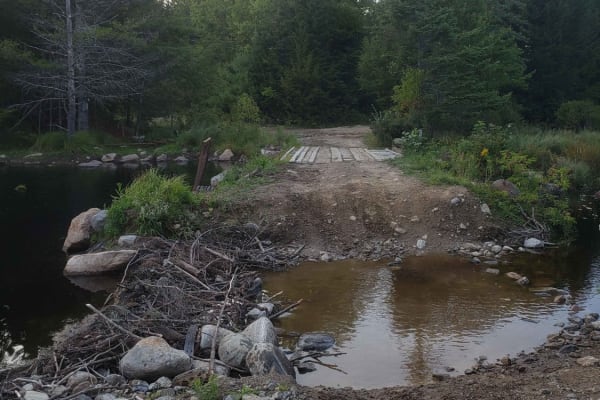
Tannery Rd
Tannery road is a nice connecting off-road trail between Rt 125 and Rt 30. From north to south it starts off with a rocky uphill that transitions to some nice wooded trail. There is a beaver dam/ stream crossing with a small bridge in one spot and water crossing in another. The trail is mostly d...
Learn more about Tannery Rd

Huntersfield Pathway
Do you want a secluded red dirt trail through a state forest? Look no further. This trail is a two track road through Huntersfield State Forest, with a walking trail to the summit about halfway in. The trail is subject to deep ruts, some water, and medium sized rocks- but most vehicles can get by wi...
Learn more about Huntersfield Pathway
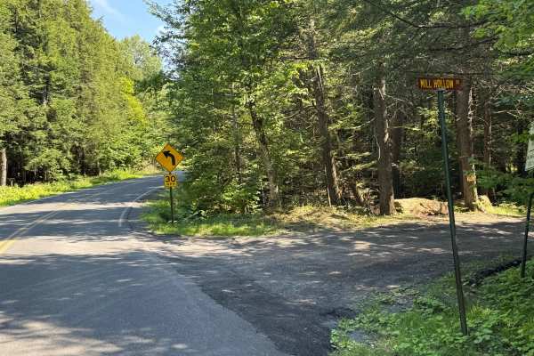
Mill Hollow Road
This is a loose stone and dirt road. This is a short section of road made up of loose stone and gravel. This road follows a river the whole way. There is nothing technical here; there are spots to pull over to let other vehicles go by.
Learn more about Mill Hollow Road
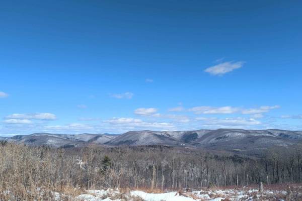
Schaeffer Road
This route starts as an easy track curving through thickly wooded state land. It eventually rises to a ridge with decent views of the west and spectacular views to the east overlooking the Taconic Ridge and the Berlin Pass. This road is inside Cherryplain State Park with lots of other activities, in...
Learn more about Schaeffer Road
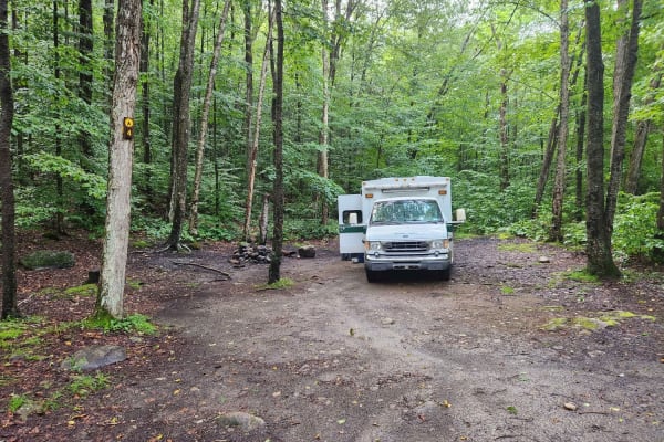
Hope Falls Road
This is a seasonal dirt road, but well-maintained in the summer. The trail leads to the Tenant Falls trailhead and roadside camping. Big parking area/turnaround at the end of the road. There are four first-come first first-served campsites just off the road. Sites 1-3 are flat walk-ins 200' - 300' f...
Learn more about Hope Falls Road
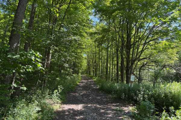
Elevator Shaft Road
This road is known as the elevator shaft because it is a steep climb up one side and a steep climb down on the other. If you start south to north, then you start out climbing loose rocks and washouts for about 1 mile. After you get to the top, there is a flat section for a stretch. Then you start to...
Learn more about Elevator Shaft Road
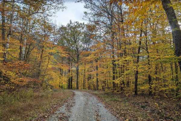
Cowdry Hollow to Comstock Hollow Road
This is a well-maintained state access road with wooded valley views, numerous adjacent brooks, and multiple side hiking trails. It is part of the Berlin State Forest and provides access to the Taconic Crest hiking trail network. The only challenge would be numerous mud holes if driven during the we...
Learn more about Cowdry Hollow to Comstock Hollow Road
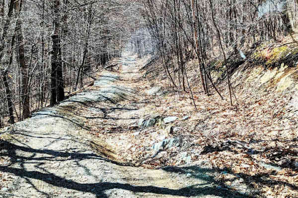
Rounds Mountain DEC Access Road
This is a short but rewarding drive for a novice of roader, or just someone looking for an easy day out. It provides some nice views of the Berkshires and pleasant topography, especially in the spring or fall. Be sure to pay attention to the signs stating where the permitted motorized vehicle use en...
Learn more about Rounds Mountain DEC Access Road
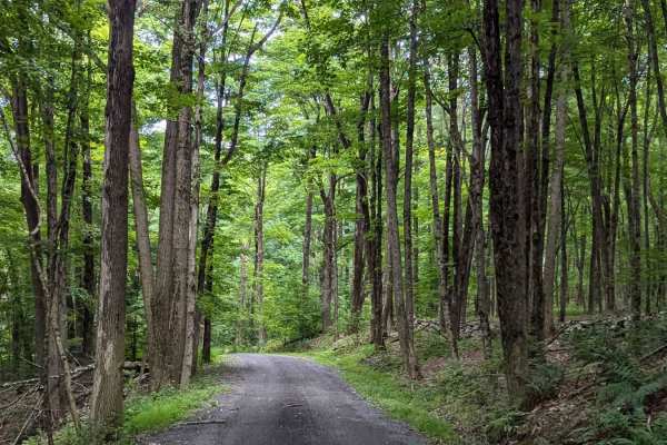
Old Macedonia Road
This is a dirt road whose center section is seasonally unmaintained. It skirts through the woods among private property and Beebe State Forest. You'll pass through ravines, hardwood groves, and over a small ridge on this peaceful path. While not much of a challenge for trucks or SUVs, cars should no...
Learn more about Old Macedonia Road
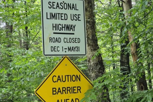
Powley Road
This trail is open from May 31 to December 1. It is a seasonal road that has varying surface types but is primarily gravel and offers plenty of opportunities to see wildlife. Deer are often spotted trailside and in June, snapping turtles are digging nest sites right on the road surface. Plenty of ca...
Learn more about Powley Road
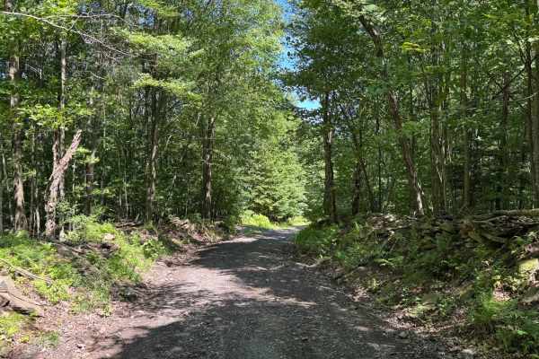
Townsend Hollow Road
This is a non-maintained loose gravel road. There is nothing technical on this road. Some sections are one lane with room to pull over if needed. As you drive through, there are nice stone walls on some of the sections and an old car sitting in the woods.
Learn more about Townsend Hollow Road
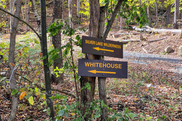
West River Road
Along this well-maintained gravel out-and-back route, travelers will enjoy spectacular views as the road winds beside the West Branch of the Sacandaga River. The surrounding landscape transitions between hardwood and pine forests, offering several excellent camping opportunities—particularly near th...
Learn more about West River Road
Beginner ATV trails near Duanesburg, New York
Explore ATV-friendly trails near you. These trails are accessible for vehicles up to 50 inches wide, perfect for ATVs and smaller off-road machines.
Tannery Rd
Tannery road is a nice connecting off-road trail between Rt 125 and Rt 30. From north to south it starts off with a rocky uphill that transitions to some nice wooded trail. There is a beaver dam/ stream crossing with a small bridge in one spot and water crossing in another. The trail is mostly d...
Learn more about Tannery Rd
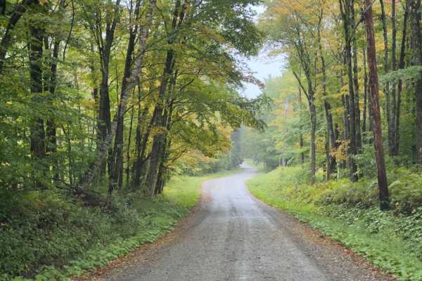
County Road Connection
Serving as a connection trail to County Road or the Klondike Trail, this trail is a simple, wide dirt road. Winding through the Vermont forest, you will be surrounded by a mix of hardwoods. It's a comfortable trail, with room to pass. If there's rain or wet ground, prepare to be muddy.
Learn more about County Road Connection
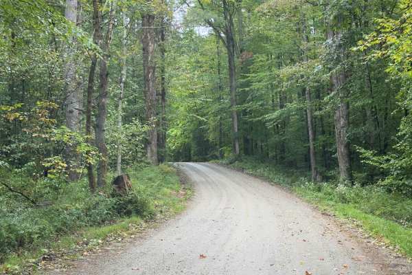
Klondike Road
Serving as a perfect connection point to other trails, this trail is an easy dirt road with limited obstacles. Overall, it's a well-graded forest road winding through mixed hardwoods. The trail is wide enough for comfortable passing, and grades are mild. There's potential for shallow standing water ...
Learn more about Klondike Road
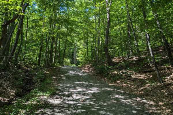
Southeast Corners Road
Vermont Class 4 Road: This is an easy drive through a notch between Little Equinox and Pendock Hill. The trail is sometimes steep, especially on the eastern slope, but includes nothing too technical. The road parallels Skyline Drive, the longest paved toll road in the US for some of the eastern clim...
Learn more about Southeast Corners Road
Beginner UTV/side-by-side trails near Duanesburg, New York
Find UTV and side-by-side trails near you. These trails accommodate vehicles up to 60 inches wide, ideal for UTVs, side-by-sides, and wider off-road rigs.
Tannery Rd
Tannery road is a nice connecting off-road trail between Rt 125 and Rt 30. From north to south it starts off with a rocky uphill that transitions to some nice wooded trail. There is a beaver dam/ stream crossing with a small bridge in one spot and water crossing in another. The trail is mostly d...
Learn more about Tannery Rd
County Road Connection
Serving as a connection trail to County Road or the Klondike Trail, this trail is a simple, wide dirt road. Winding through the Vermont forest, you will be surrounded by a mix of hardwoods. It's a comfortable trail, with room to pass. If there's rain or wet ground, prepare to be muddy.
Learn more about County Road Connection
Klondike Road
Serving as a perfect connection point to other trails, this trail is an easy dirt road with limited obstacles. Overall, it's a well-graded forest road winding through mixed hardwoods. The trail is wide enough for comfortable passing, and grades are mild. There's potential for shallow standing water ...
Learn more about Klondike Road
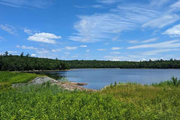
Ashley Lake Road
Ashley Lake Road is an old, unmaintained road through October Mountain State Forest. It rolls through hardwood forests past multiple lakes/reservoirs, including Ashley Lake, Sandwash Reservoir (this has a unique "aerator" which is a large fountain in the middle of the woods), Clapp Pond, and Mud Pon...
Learn more about Ashley Lake Road
The onX Offroad Difference
onX Offroad combines trail photos, descriptions, difficulty ratings, width restrictions, seasonality, and more in a user-friendly interface. Available on all devices, with offline access and full compatibility with CarPlay and Android Auto. Discover what you're missing today!
Open Trail Map