
Beginner Off-Road Trails
Near Cullen, Louisiana
Explore All Beginner Trails Near Cullen, Louisiana
Beginner Off-Road Trails Near Cullen, Louisiana
Discover the best beginner-friendly off-road trails near you. These easier, lower-rated trails are a great place to start — browse trail maps, check difficulty ratings, and find your next adventure.
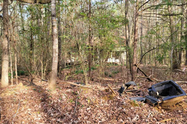
The Dead End Barrel
This trail has a bit of asphalt, dirt, and gravel. It goes to a cemetery and dead-ends at an oil structure. This trail is north of Ivan Lake and northwest of Williams Lake. You will also see an old deserted house on the right-hand side of the road.
Learn more about The Dead End Barrel
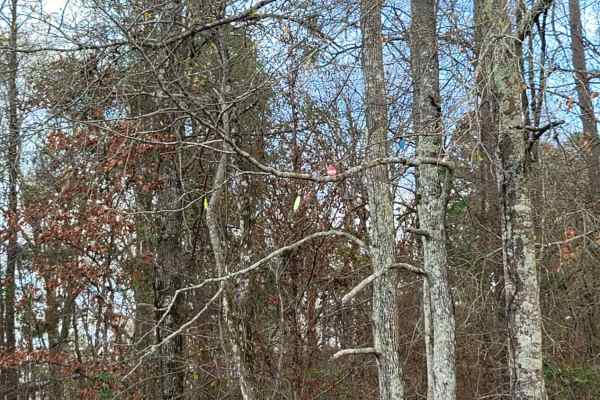
Ivan Lake Trail
This gravel road passes through the Ivan Lake area. There are a few primitive camping spots (permit required), a beautiful fishing lake, and restrooms. This trail exits the park area and heads Northwest towards Arkansas. This is in the Bayou Bodcau WMA, and all WMA rules apply. There is plenty of wi...
Learn more about Ivan Lake Trail
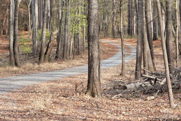
Enter Bodcau Wildlife Management Area
This trail starts at the entry of Bodcau WMA and ends at HWY 371. It stops at an offshoot to a boat ramp with a view of big cypress trees and Bodcau creek. There is also a dirt boat ramp to put a small boat or kayaks in the creek and pond to explore or fish.
Learn more about Enter Bodcau Wildlife Management Area
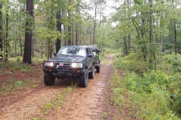
Kisatchie NF Spur Trail
This is a very short off-shoot road to a timber logging area. The end of the road is secluded, away from the main road and the perfect stop for lunch or a hideaway campsite away from road traffic. The road is passable by most vehicles, but does require backing up to turn around even with shorter tra...
Learn more about Kisatchie NF Spur Trail
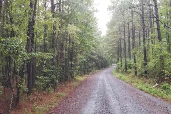
815 Road, Kisatchie NF
815 Road, Kisatchie NF is an easy, scenic dirt route through the Kisatchie National Forest, making it perfect for beginners, stock vehicles, and those looking for a relaxed cruise through Louisiana's pine woods. This basic fire road runs through rolling hills and beautiful pine forests, offering a s...
Learn more about 815 Road, Kisatchie NF
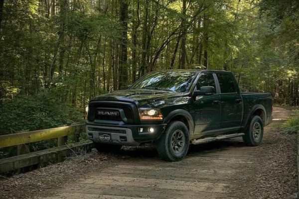
Butler Circle
This is a basic fire road within Kisatchie National Forest. It involves rolling hills through the Louisiana landscape. Hidden around the area are lookout towers for fire detection, a relic from past land management in the area. This area of the Kisatchie has a number of private in-holdings as well a...
Learn more about Butler Circle
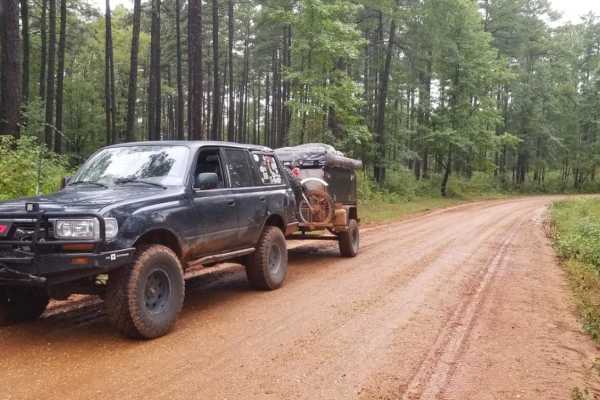
829 Road, Kisatchie NF
829 Road in the Caney Ranger District of the Kisatchie National Forest offers a relaxed, scenic dirt route perfect for beginners, overland travelers, and families looking to explore Louisiana’s rolling pine hills. This easily navigable forest road serves as an excellent entry point to the region's d...
Learn more about 829 Road, Kisatchie NF
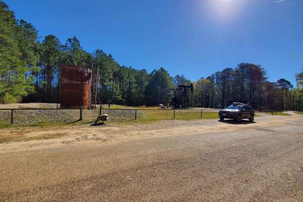
The Arkansas Overland Route - Section 1 - Falcon Bottoms Back Roads
The Arkansas Overland Route - Section 1 - Falcon Bottoms Back Roads is designed for overland beginners and scenic travelers looking for an easy, low-dust gateway into southern Arkansas's expansive backcountry. Starting off Highway 82 east of Texarkana, this 18-mile point-to-point track heads north a...
Learn more about The Arkansas Overland Route - Section 1 - Falcon Bottoms Back Roads
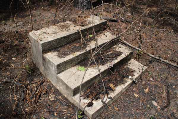
Circle Through the Past in Kisatchie
Nicely maintained gravel roads that will pass 2 cemeteries and end at an old homesite. Both cemeteries have headstones from the 1800s. The homesite only has the concrete steps remaining to show it use to exist. These roads circle through the Kisatchie National Forest with awesome views of pine stand...
Learn more about Circle Through the Past in Kisatchie
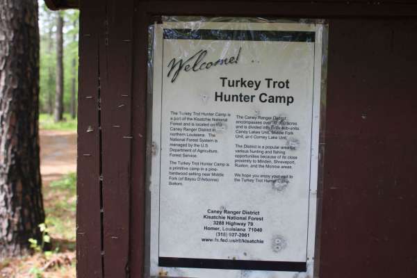
Turkey Trot in the Kisatchie
Maintained gravel roads in this section of the Kisatchie National Forest go to Turkey Trot Campground and a big circle dead end. Turkey Trot Camp should expect very primitive camping. Designated as a hunter's camp means it is only maintained during hunting season. They are, however, open year-roun...
Learn more about Turkey Trot in the Kisatchie
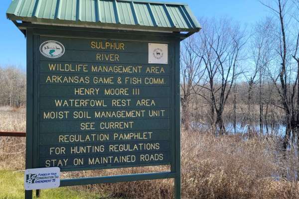
Boggy Creek Monster Trail
This is a maintained gravel road in Mercer Bayou Wildlife Area. Mercer Bayou is a gut located just 18.4 miles from Texarkana, in Miller County, in the state of Arkansas, United States, near Jonesville, AR. Sightings of the Boggy Creek Monster have been reported in this area. The road is normally in ...
Learn more about Boggy Creek Monster Trail
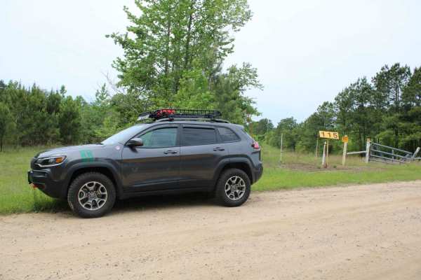
911 Colquitt
This maintained gravel road passes through the Kisatchie National Forest of Louisiana's Caney Ranger District. Visitors to this Ranger District can enjoy a wide variety of recreation opportunities. Picnicking, camping, hiking and biking, boating, and fishing are a few of the activities available at...
Learn more about 911 Colquitt
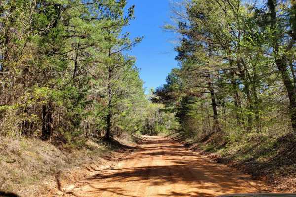
The Arkansas Overland Route - Section 2 - Highway 371 to Road 113
The Arkansas Overland Route - Section 2 - Highway 371 to Road 113 is an easy-going, scenic dirt and gravel track designed for overland enthusiasts, beginners, and families looking to explore the rolling, forested terrain of southern Arkansas. Serving as a crucial 16.9-mile continuation of the Falcon...
Learn more about The Arkansas Overland Route - Section 2 - Highway 371 to Road 113
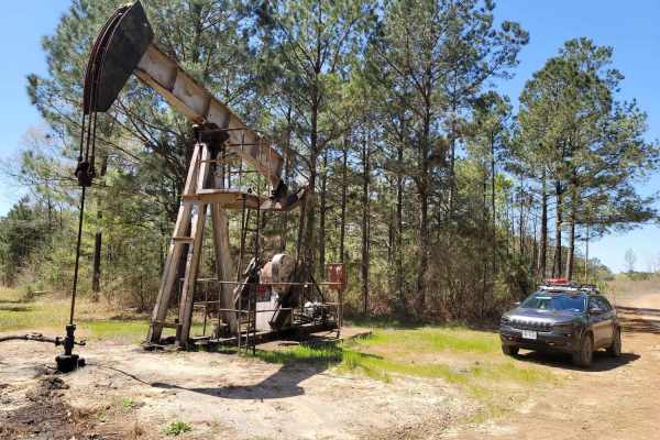
The Arkansas Overland Route - Section 3 - Road 113 to Highway 76
The Arkansas Overland Route - Section 3 - Road 113 to Highway 76 is a scenic, beginner-friendly 11.6-mile overland track perfect for stock sport utility vehicles, four-wheel-drive trucks, and SxSs seeking a historic, laid-back journey through southern Arkansas. Serving as the third leg of the Falcon...
Learn more about The Arkansas Overland Route - Section 3 - Road 113 to Highway 76
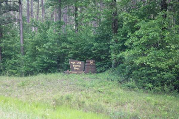
North Shore Drive on Corney Lake
North Shore Drive travels along the northeast side of Corny Lake. This is a gravel road with a few potholes but maintained and car passable. This route ends at Corney Lake Dam and a primitive camping area. There are fishing opportunities and a pit toilet along this route. The Corney Lake Unit includ...
Learn more about North Shore Drive on Corney Lake
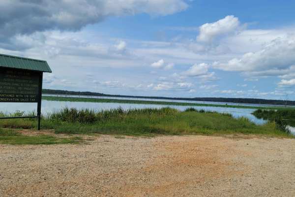
Bois d'Ark Arkansas Spillway & Dam
This 13,626-acre area is composed of 5,866 acres of state-owned land and 7,760 acres leased from International Paper and Potlatch timber companies.The primary objective of this management area is to provide high-quality wildlife habitat and public hunting opportunities. Bois d'Arc Lake provides exc...
Learn more about Bois d'Ark Arkansas Spillway & Dam
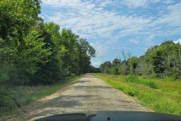
Tower Ends at Private Fishing Club
Gravel Road that goes by a cell tower, lots of fields, and ends at a private fishing club where you will have to turn around. After turning around and backtracking, if you turn right eventually, you can end up on HWY 82. These roads run through private property, so stay on the roads.
Learn more about Tower Ends at Private Fishing Club
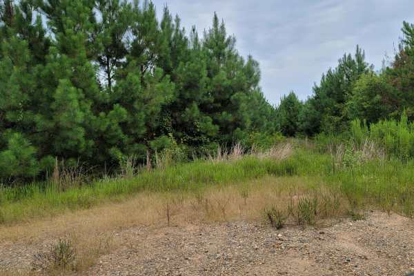
Bois d'Ark Trail back to Interstate 30
This 13,626-acre area is composed of 5,866 acres of state-owned land and 7,760 acres leased from International Paper and Potlatch timber companies.The primary objective of this management area is to provide high-quality wildlife habitat and public hunting opportunities. Bois d' Arc Lake provides ex...
Learn more about Bois d'Ark Trail back to Interstate 30
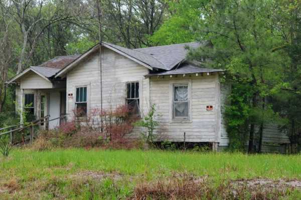
The Arkansas Overland Route - Section 8 - To Spoon Bend Camping Area
The Arkansas Overland Route - Section 8 - To Spoon Bend Camping Area offers a scenic, beginner-friendly journey through southern Arkansas, perfect for overlanders and dual-sport riders seeking a relaxed transition from dirt to riverbanks. Spanning approximately 13.3 miles, this section connects Falc...
Learn more about The Arkansas Overland Route - Section 8 - To Spoon Bend Camping Area
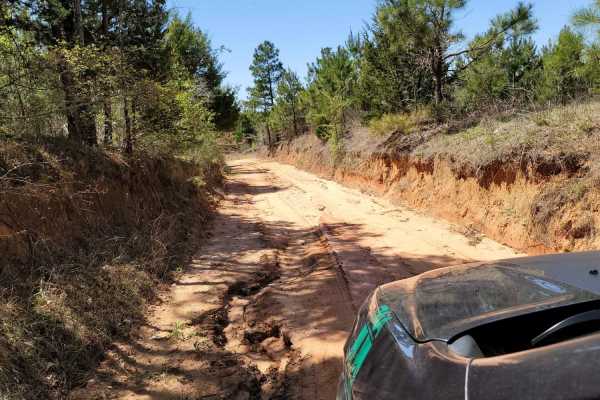
The Arkansas Overland Route - Section 4 - Poison Springs WMA and Purifoy Cemetery
This trail is gravel and dirt that can be sloppy during or after rains. There is a small section is pavement before turning to go to Purifoy Cemetery. Some areas you might want to avoid during or right after rains. Primitive camping sites can be found along parts of these roads. For camping, get a f...
Learn more about The Arkansas Overland Route - Section 4 - Poison Springs WMA and Purifoy Cemetery
Beginner ATV trails near Cullen, Louisiana
Explore ATV-friendly trails near you. These trails are accessible for vehicles up to 50 inches wide, perfect for ATVs and smaller off-road machines.
Enter Bodcau Wildlife Management Area
This trail starts at the entry of Bodcau WMA and ends at HWY 371. It stops at an offshoot to a boat ramp with a view of big cypress trees and Bodcau creek. There is also a dirt boat ramp to put a small boat or kayaks in the creek and pond to explore or fish.
Learn more about Enter Bodcau Wildlife Management Area
Butler Circle
This is a basic fire road within Kisatchie National Forest. It involves rolling hills through the Louisiana landscape. Hidden around the area are lookout towers for fire detection, a relic from past land management in the area. This area of the Kisatchie has a number of private in-holdings as well a...
Learn more about Butler Circle
Country Route to White Oak Lake Group Campsite
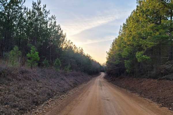
This is a gravel and dirt road that leads to an awesome group campsite on White Oak Lake. A permit can be found online to camp in this free Poison Springs Forest. There are several campsites in this area. This particular campsite is on a hill right beside White Oak Lake. The later part of this route...
Learn more about Country Route to White Oak Lake Group Campsite
Champagnolle Creek Loop
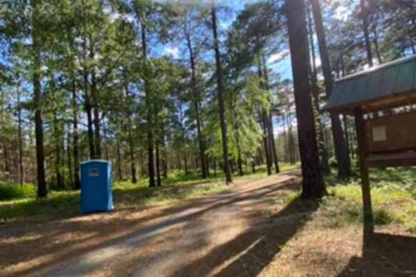
The Champagnolle Creek Loop is a well-maintained dirt road with some uneven and rutted sections. While the road is easily passable during normal weather, the high river level makes the road impassable at times. Along this route, expect mild traffic, especially during prime fishing and hunting season...
Learn more about Champagnolle Creek Loop
Beginner UTV/side-by-side trails near Cullen, Louisiana
Find UTV and side-by-side trails near you. These trails accommodate vehicles up to 60 inches wide, ideal for UTVs, side-by-sides, and wider off-road rigs.
Enter Bodcau Wildlife Management Area
This trail starts at the entry of Bodcau WMA and ends at HWY 371. It stops at an offshoot to a boat ramp with a view of big cypress trees and Bodcau creek. There is also a dirt boat ramp to put a small boat or kayaks in the creek and pond to explore or fish.
Learn more about Enter Bodcau Wildlife Management Area
Butler Circle
This is a basic fire road within Kisatchie National Forest. It involves rolling hills through the Louisiana landscape. Hidden around the area are lookout towers for fire detection, a relic from past land management in the area. This area of the Kisatchie has a number of private in-holdings as well a...
Learn more about Butler Circle
Country Route to White Oak Lake Group Campsite
This is a gravel and dirt road that leads to an awesome group campsite on White Oak Lake. A permit can be found online to camp in this free Poison Springs Forest. There are several campsites in this area. This particular campsite is on a hill right beside White Oak Lake. The later part of this route...
Learn more about Country Route to White Oak Lake Group Campsite
Champagnolle Creek Loop
The Champagnolle Creek Loop is a well-maintained dirt road with some uneven and rutted sections. While the road is easily passable during normal weather, the high river level makes the road impassable at times. Along this route, expect mild traffic, especially during prime fishing and hunting season...
Learn more about Champagnolle Creek Loop
The onX Offroad Difference
onX Offroad combines trail photos, descriptions, difficulty ratings, width restrictions, seasonality, and more in a user-friendly interface. Available on all devices, with offline access and full compatibility with CarPlay and Android Auto. Discover what you're missing today!
Open Trail Map