Trail Overview
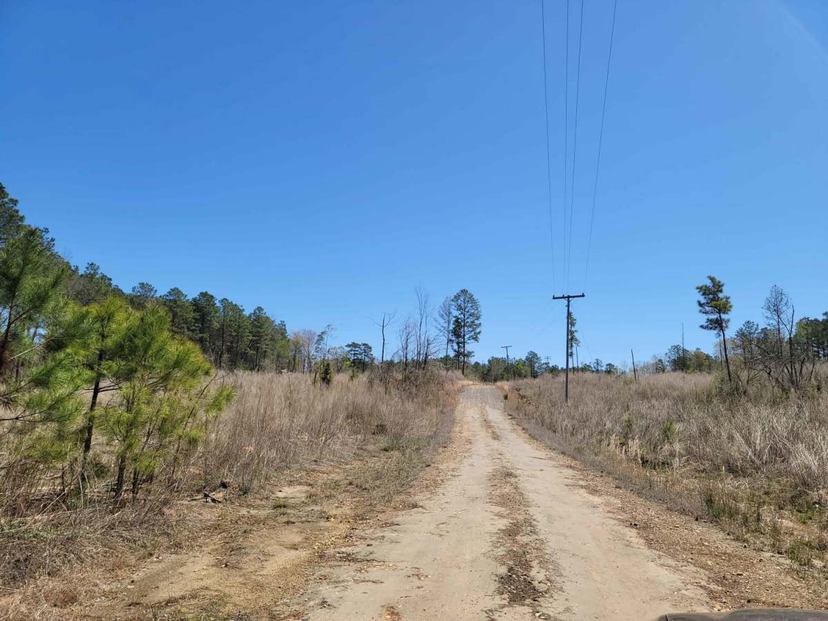
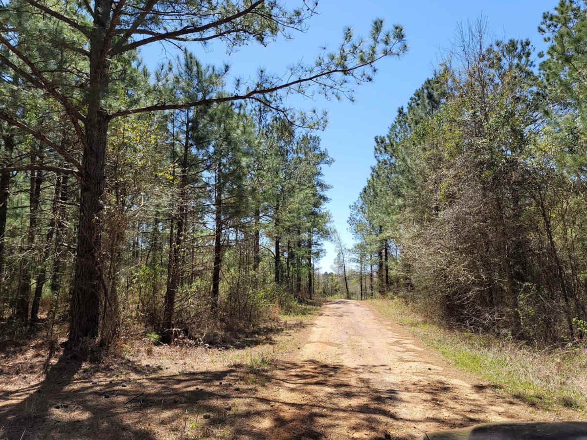
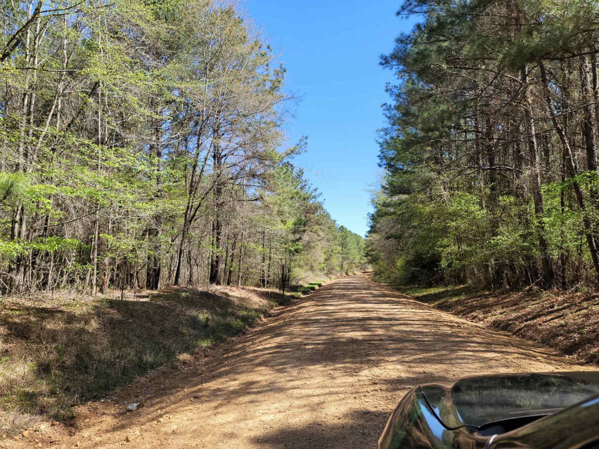
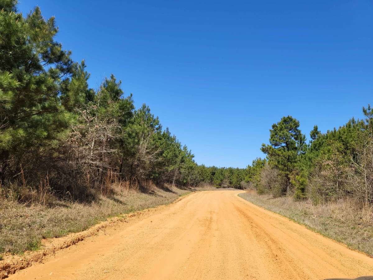
The Arkansas Overland Route - Section 3 - Road 113 to Highway 76 is a scenic, beginner-friendly 11.6-mile overland track perfect for stock sport utility vehicles, four-wheel-drive trucks, and SxSs seeking a historic, laid-back journey through southern Arkansas. Serving as the third leg of the Falcon Bottoms Back Roads Route leading toward the Poison Springs Wildlife Management Area, this trail features an easygoing technical rating of 2 and offers a relaxed exploration of the region's countryside. Beginning at Road 113 just north of Stephens, the route weaves northward through a mix of maintained gravel roads and rough, pothole-riddled paved stretches, climbing from a minimum elevation of 247 feet to a maximum of 398 feet with a gentle 394 feet of cumulative elevation gain.
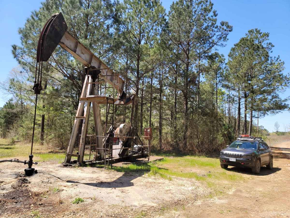
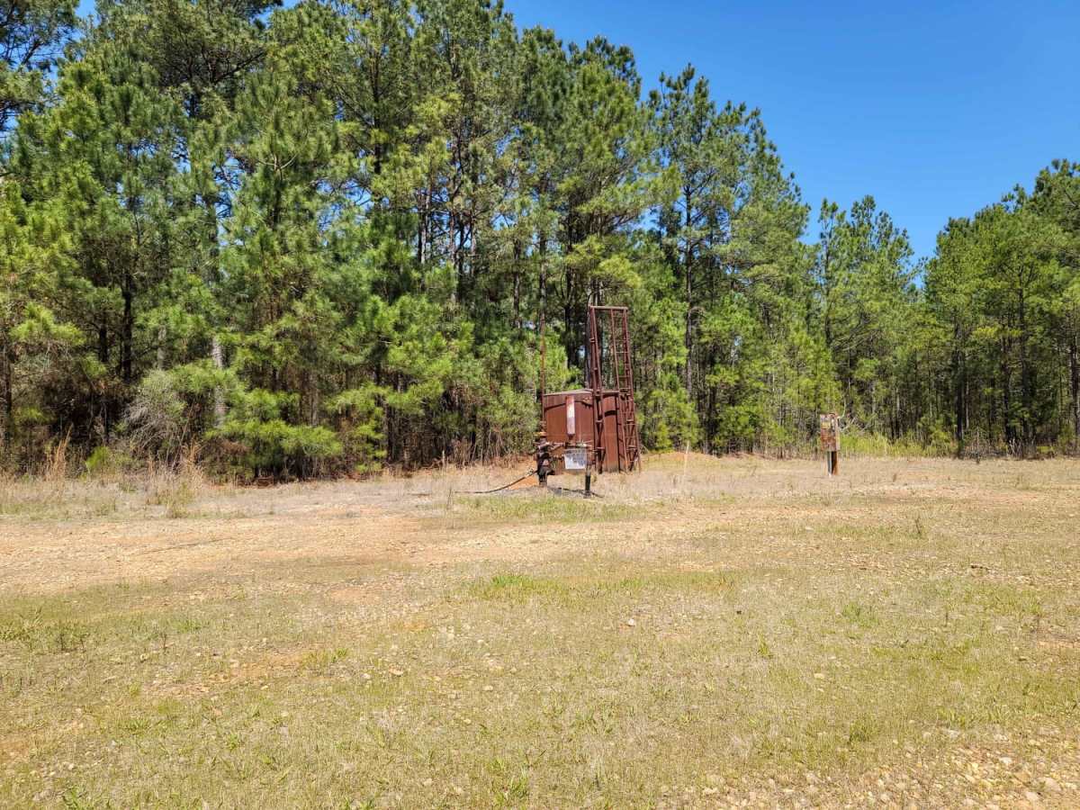
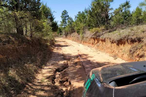
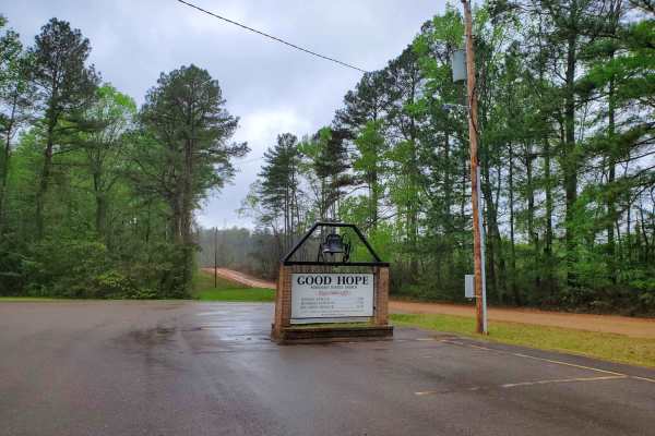
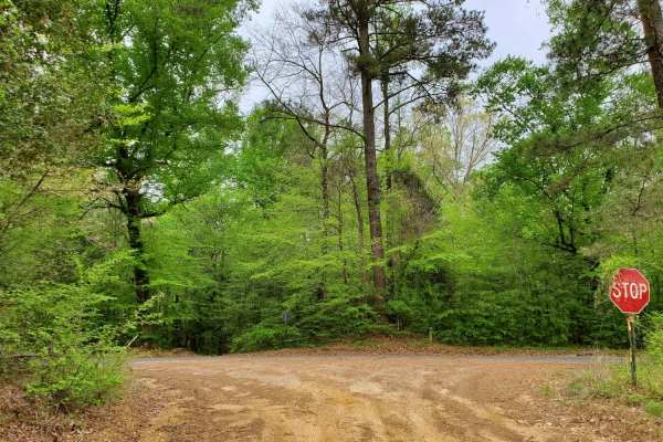
Along the journey, travelers will encounter several notable points of interest, including active oil wells that speak to the area's rich resource-producing history, as well as a historic church and cemetery that make for excellent stopping points to explore on foot. While the well-maintained gravel roads are generally navigable by most high-clearance vehicles, the clay and dirt base can become highly sloppy and slick during or after heavy rains, requiring caution and occasionally four-wheel-drive traction. The route ends at Highway 76, making it an excellent segment to pair with the preceding Falcon Bottoms routes for a full-day overland itinerary or a gateway into the adjacent wilderness areas.