Trail Overview
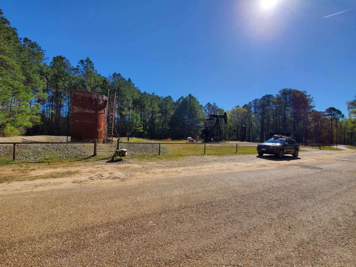
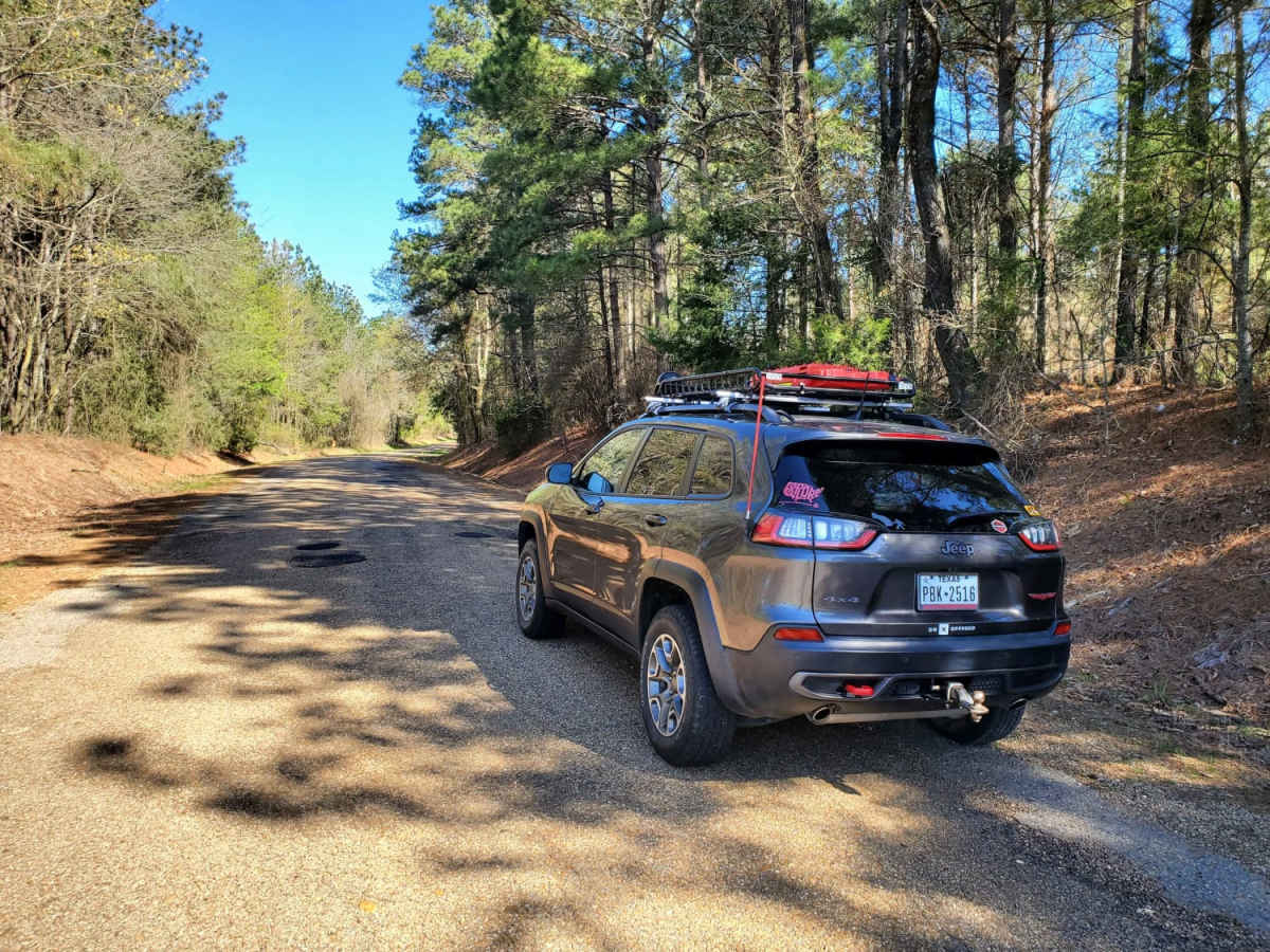
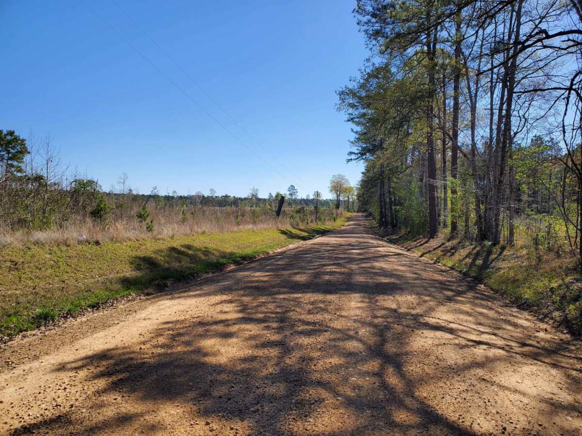
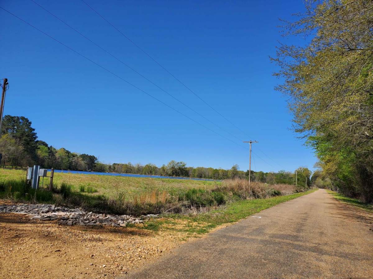
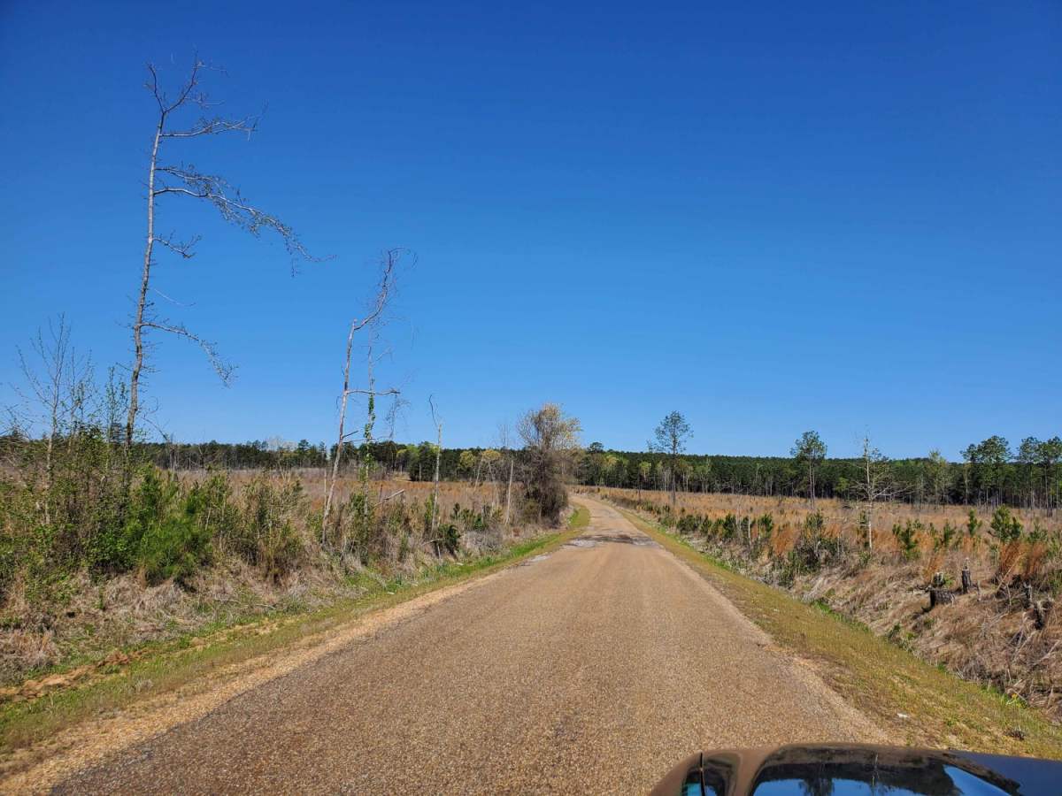
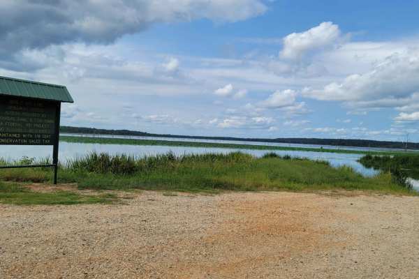
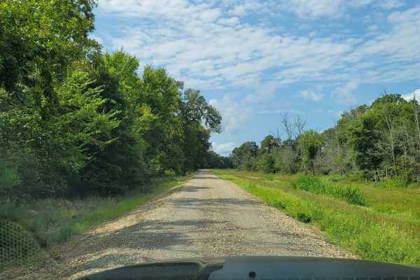
The Arkansas Overland Route - Section 1 - Falcon Bottoms Back Roads is designed for overland beginners and scenic travelers looking for an easy, low-dust gateway into southern Arkansas's expansive backcountry. Starting off Highway 82 east of Texarkana, this 18-mile point-to-point track heads north along the edge of the Falcon Bottoms Natural Area before turning east toward Poison Springs Wildlife Management Area. The track primarily utilizes rough, weathered asphalt punctuated by occasional gravel segments, making it easily passable for any standard four-wheel-drive vehicle, high-clearance SUVs, or SxSs. While the road surface presents no significant technical challenges, drivers must remain vigilant for deer and other local wildlife frequently crossing the corridor.
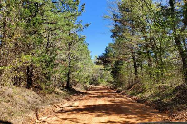
The route experiences minimal elevation change, starting at roughly 262 feet, peaking at 377 feet, and accumulating only 460 feet of total elevation gain over its entire length. This paved and gravel foundation makes Section 1 an ideal, low-maintenance warm-up before transitioning to the rougher, dustier dirt trails that characterize the subsequent sections of the overland route. The track concludes at its junction with Highway 371, allowing overlanders to seamlessly transition to the next backcountry phase or return to nearby highways. Because of its established surface, this section remains open and highly drivable across all seasons, offering consistent access to the region's dense hardwood canopies and natural wetland borders.
Access Description
The route runs adjacent to the Falcon Bottoms Natural Area and terminates near the Poison Springs State Forest Wildlife Management Area. Travelers must remain on designated, public rights-of-way and respect all local natural area boundaries and regulations.