
Beginner Off-Road Trails
Near Central City, Kentucky
Explore All Beginner Trails Near Central City, Kentucky
Beginner Off-Road Trails Near Central City, Kentucky
Discover the best beginner-friendly off-road trails near you. These easier, lower-rated trails are a great place to start — browse trail maps, check difficulty ratings, and find your next adventure.
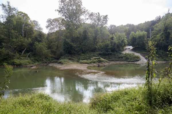
Houchin Ferry - Mammoth Cave NP
Houchin Ferry Road is a 5-mile out-and-back trail that is located within Mammoth Cave National Park. The trail begins off Ollie Road and ends along the Green River. There is no longer a possible way to cross the river at the end of the trail so you must turn back. Along the trail are a few parking a...
Learn more about Houchin Ferry - Mammoth Cave NP
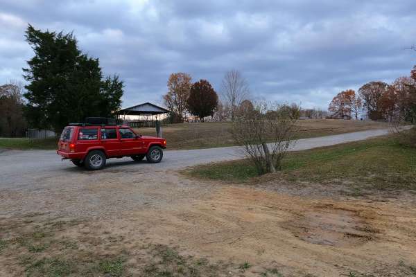
Crossroad Church - FS 123
Crossroad Church Road (FS 123), or as it was formerly, the Old Kentucky Route 289, once paved, is now a broken pavement, mended with gravel forest service road, through the northeast corner of the Kentucky section, Lake Barkley side, of the Land Between the Lakes National Recreation Area. The road s...
Learn more about Crossroad Church - FS 123
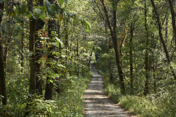
Ugly Creek - Mammoth Cave NP
Ugly Creek Road is a 3.5-mile one-way trail that is located within Mammoth Cave National Park. The trail begins off Green River Ferry Road (1352) and ends on Dennison Ferry Road. The trail can be run in either direction; however, there is a possible impassable water crossing closer to the Green Rive...
Learn more about Ugly Creek - Mammoth Cave NP
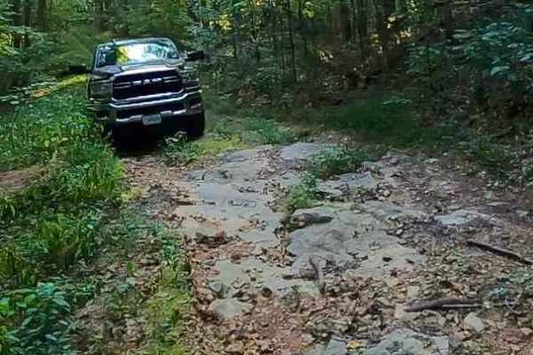
Green Branch Road - FS 409
Green Branch Road - FS 409 is a natural-improved forest service road through the center-east Kentucky section, Lake Barkley side, of the Land Between the Lakes National Recreation Area. The FS 409, has annual seasonal closure from 3/27 to 5/5 for Turkey Hunting Season. The road starts with a dual en...
Learn more about Green Branch Road - FS 409
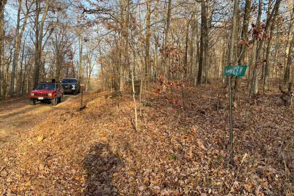
Lady Cemetery FSR 128
Lady Cemetery FSR 128 is an easy, scenic 1.5-mile gravel and dirt forestry road in the Land Between the Lakes National Recreation Area, perfect for beginners and those seeking a quick drive to a historic viewpoint. This route winds through dense forest over rolling hills in the northeast corner of t...
Learn more about Lady Cemetery FSR 128
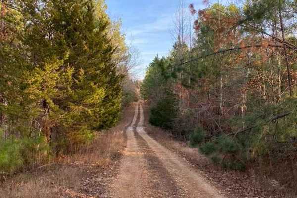
Rimshot FSR 124
Rimshot FSR 124 is a scenic 1.5-mile route through the Land Between The Lakes National Recreation Area, suitable for stock high-clearance 4WD vehicles. The trail transitions from gravel on its southern end to dirt on the north, featuring mild grades, minor ruts, and slight off-camber sections.
Seas...
Learn more about Rimshot FSR 124

Kuttawa Landing FSR 127
Kuttawa Landing FSR 127 is a gravel forestry road that travels to the northernmost point of the Land Between The Lakes Recreation Area. It features mild rutting, gravel turning to mud in places, small water collection spots, and a few small grades leading you back to a boat landing/ramp, on the nort...
Learn more about Kuttawa Landing FSR 127
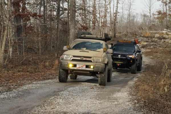
Stephens Chapel Road - FSR 415
Stephens Chapel Road--415 is an extremely historic route that navigates directly to one of the last original standing structures within Land Between the Lakes National Recreation Area. The Road is a mix of dirt and gravel and is somewhat maintained. The church remains despite the 2021 tornadoes rava...
Learn more about Stephens Chapel Road - FSR 415
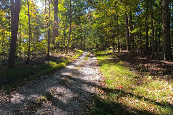
Spring Road - FS 155
Spring Road (FS 155) is a gravel transforming to natural-improved forest service road through the center-east Kentucky section, Lake Barkley side, of the Land Between the Lakes National Recreation Area. This route comes off from the Energy Lake Road (FS 134) heading east, then turning south to the n...
Learn more about Spring Road - FS 155
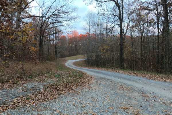
Bethlehem Cemetery - FS 122
Bethlehem Cemetery Road (FS 122) is a Forest Service Road, paved for the first 0.6 mile western section, transforming next into a 1-mile-long gravel eastern section, placed in the northeast corner of the Kentucky section, Lake Barkley side, of the Land Between the Lakes National Recreation Area. The...
Learn more about Bethlehem Cemetery - FS 122
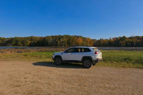
Honker Lake - FS 177
Honker Lake - FS 177 is a gravel forest road through the center-east Kentucky section, Lake Barkley side, of the Land Between the Lakes National Recreation Area. Due to the Wildlife Refuge that exists at the Lake, the road is annually closed to motorized use from 10/31 to 3/15, though it still allow...
Learn more about Honker Lake - FS 177
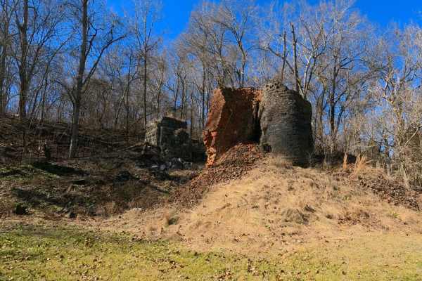
Hematite Lake - FS 176
The Hematite Lake FS 176 is a gravel forestry road and picnic area through the center-east Kentucky section, Lake Barkley side, of the Land Between the Lakes National Recreation Area. The FS 176 is a diverse spot to be at LBL, resting in between Hematite and Honker Lakes. The area is rich in history...
Learn more about Hematite Lake - FS 176
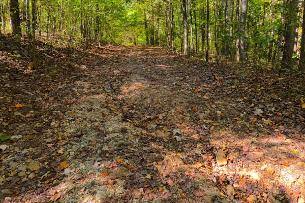
Cunningham Monument - FS 154A
Cunningham Monument (FS 154 Spur A) is a gravel forest service road through the center-east Kentucky section, Lake Barkley side, of the Land Between the Lakes National Recreation Area. This route, after leaving the FS 154, immediately goes down in elevation over a coarse gravel and dirt rutted hill,...
Learn more about Cunningham Monument - FS 154A
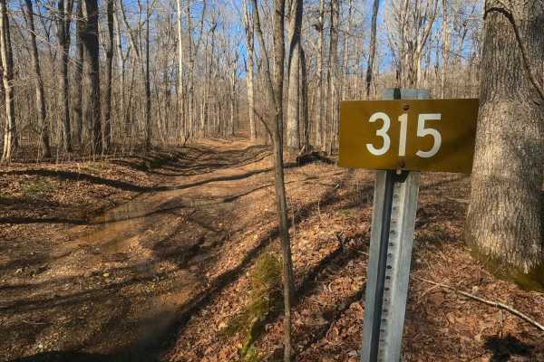
Fulton Furnace Road - FS 315
The Fulton Furnace Road FS 315 is a natural-improved forestry road through the center-east Kentucky section, Lake Barkley side, of the Land Between the Lakes National Recreation Area. The FS 315 is a fun little adventure with both history and thrill to its name. The road is short but still packs in ...
Learn more about Fulton Furnace Road - FS 315
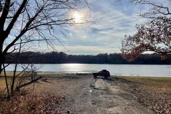
Davenport Bay FSR 127B
The Davenport Bay FSR 127B is a degrading old back top road that leads to the water's edge in Land Between The Lakes National Recreation Area. The road at one point must have been a decent blacktop road leading to the water for boat launching but has degraded heavily to give a unique offroading expe...
Learn more about Davenport Bay FSR 127B
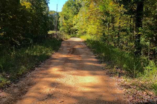
Shaw Branch - FS 154
Shaw Branch Road (FS 154) is a gravel forest service road through the center-east Kentucky section, Lake Barkley side, of the Land Between the Lakes National Recreation Area. This route takes off from the Energy Lake Road (FS 134) heading northeast to a peninsula tip surrounded by three named bodies...
Learn more about Shaw Branch - FS 154
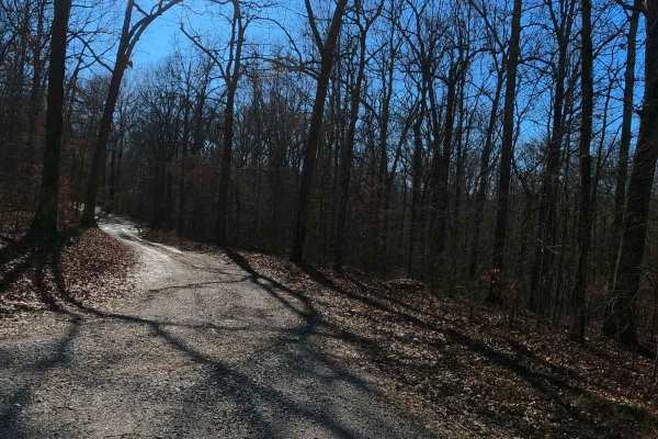
Gray Cemetery Road - FS 313
Gray Cemetery Road FS 313 is a gravel/dirt forestry road through the inland center Kentucky section of the Land Between the Lakes National Recreation Area. This road features small rolling hills and beautiful treelines, with minimal water collection spots on the road surface and occasional mild soft...
Learn more about Gray Cemetery Road - FS 313
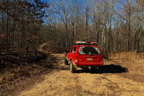
Back Mail Route Road - FS 312
Back Mail Route Road FS 312 is a gravel forestry road running parallel to the Lake Barkley shore at Honker Bay. It rests in the center-east Kentucky section of the Land Between the Lakes National Recreation Area. This road features small rolling hills, beautiful treelines, and open valleys, with min...
Learn more about Back Mail Route Road - FS 312
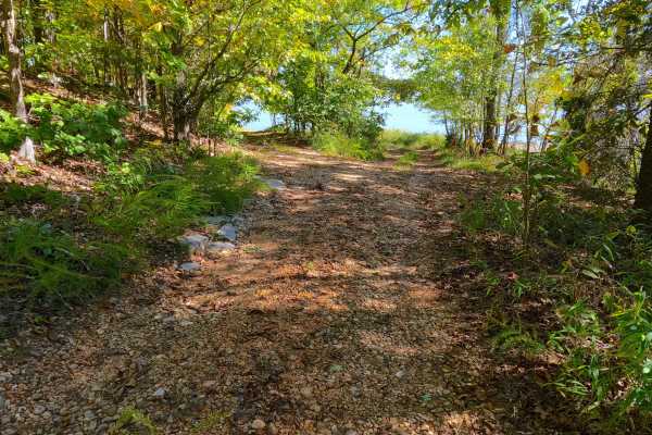
Wallace Road - FS 156
Wallace Road (FS 156) is a gravel transforming into a natural-improved forest service road through the center-east Kentucky section, Lake Barkley side, of the Land Between the Lakes National Recreation Area. This route comes off from the Energy Lake Road (FS 134) heading east, then turning south to ...
Learn more about Wallace Road - FS 156
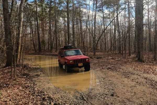
Bald Knob Road - FS 152
Bald Knob Road FS 152 is a natural forestry route through the center east Kentucky section, Lake Barkley side, of the Land Between the Lakes National Recreation Area. The route at its foundation is coarse natural gravel over a dirt base trail, featuring consistent up-and-down mild-graded hills with ...
Learn more about Bald Knob Road - FS 152
Beginner ATV trails near Central City, Kentucky
Explore ATV-friendly trails near you. These trails are accessible for vehicles up to 50 inches wide, perfect for ATVs and smaller off-road machines.
Houchin Ferry - Mammoth Cave NP
Houchin Ferry Road is a 5-mile out-and-back trail that is located within Mammoth Cave National Park. The trail begins off Ollie Road and ends along the Green River. There is no longer a possible way to cross the river at the end of the trail so you must turn back. Along the trail are a few parking a...
Learn more about Houchin Ferry - Mammoth Cave NP
Ugly Creek - Mammoth Cave NP
Ugly Creek Road is a 3.5-mile one-way trail that is located within Mammoth Cave National Park. The trail begins off Green River Ferry Road (1352) and ends on Dennison Ferry Road. The trail can be run in either direction; however, there is a possible impassable water crossing closer to the Green Rive...
Learn more about Ugly Creek - Mammoth Cave NP
Stephens Chapel Road - FSR 415
Stephens Chapel Road--415 is an extremely historic route that navigates directly to one of the last original standing structures within Land Between the Lakes National Recreation Area. The Road is a mix of dirt and gravel and is somewhat maintained. The church remains despite the 2021 tornadoes rava...
Learn more about Stephens Chapel Road - FSR 415

FSR 119
Forest Service Road 119 is a semi-maintained dirt and gravel road that connects FSR 112 and FSR 117 within the Land Between the Lakes National Recreation Area. It is on the northern portion of the park in the area known as 'Tornado Valley' after two tornadoes hit the park in 2021. The road is easily...
Learn more about FSR 119
Beginner UTV/side-by-side trails near Central City, Kentucky
Find UTV and side-by-side trails near you. These trails accommodate vehicles up to 60 inches wide, ideal for UTVs, side-by-sides, and wider off-road rigs.
Houchin Ferry - Mammoth Cave NP
Houchin Ferry Road is a 5-mile out-and-back trail that is located within Mammoth Cave National Park. The trail begins off Ollie Road and ends along the Green River. There is no longer a possible way to cross the river at the end of the trail so you must turn back. Along the trail are a few parking a...
Learn more about Houchin Ferry - Mammoth Cave NP
Ugly Creek - Mammoth Cave NP
Ugly Creek Road is a 3.5-mile one-way trail that is located within Mammoth Cave National Park. The trail begins off Green River Ferry Road (1352) and ends on Dennison Ferry Road. The trail can be run in either direction; however, there is a possible impassable water crossing closer to the Green Rive...
Learn more about Ugly Creek - Mammoth Cave NP
Stephens Chapel Road - FSR 415
Stephens Chapel Road--415 is an extremely historic route that navigates directly to one of the last original standing structures within Land Between the Lakes National Recreation Area. The Road is a mix of dirt and gravel and is somewhat maintained. The church remains despite the 2021 tornadoes rava...
Learn more about Stephens Chapel Road - FSR 415
FSR 119
Forest Service Road 119 is a semi-maintained dirt and gravel road that connects FSR 112 and FSR 117 within the Land Between the Lakes National Recreation Area. It is on the northern portion of the park in the area known as 'Tornado Valley' after two tornadoes hit the park in 2021. The road is easily...
Learn more about FSR 119
The onX Offroad Difference
onX Offroad combines trail photos, descriptions, difficulty ratings, width restrictions, seasonality, and more in a user-friendly interface. Available on all devices, with offline access and full compatibility with CarPlay and Android Auto. Discover what you're missing today!
Open Trail Map